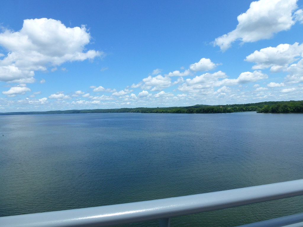
Little Tennessee River

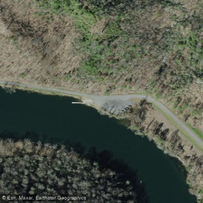
Boat Ramps
8
Access Points
18
Species
39

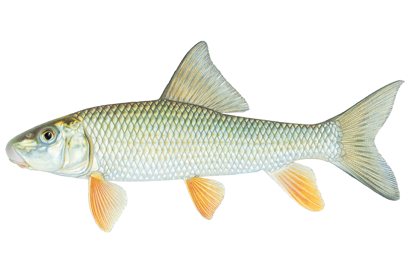
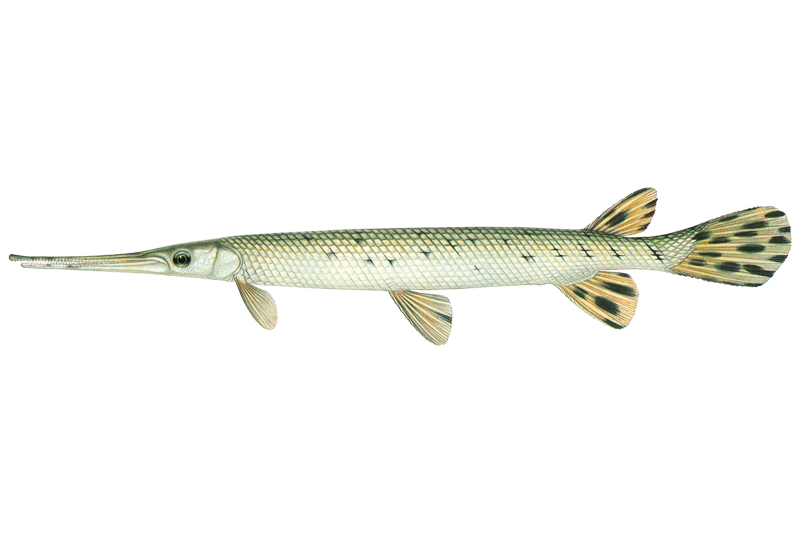
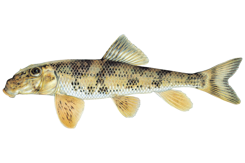
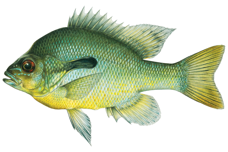
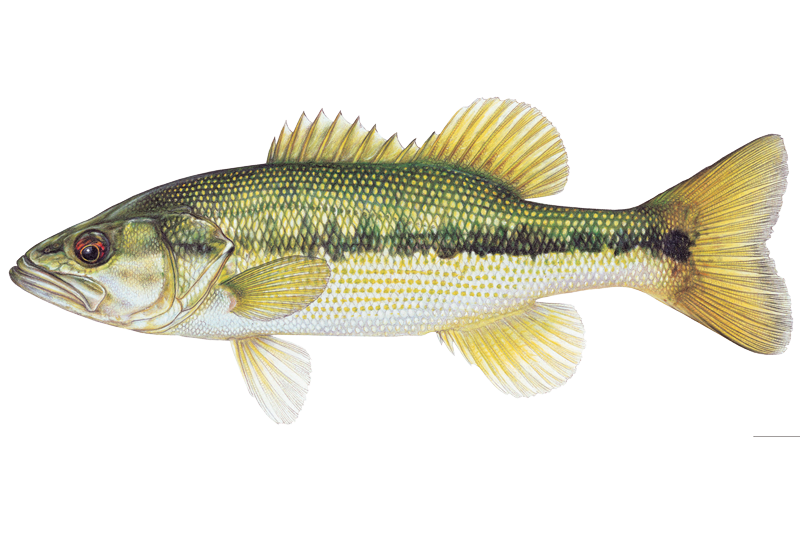
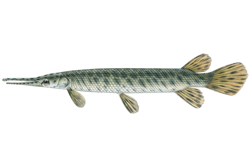
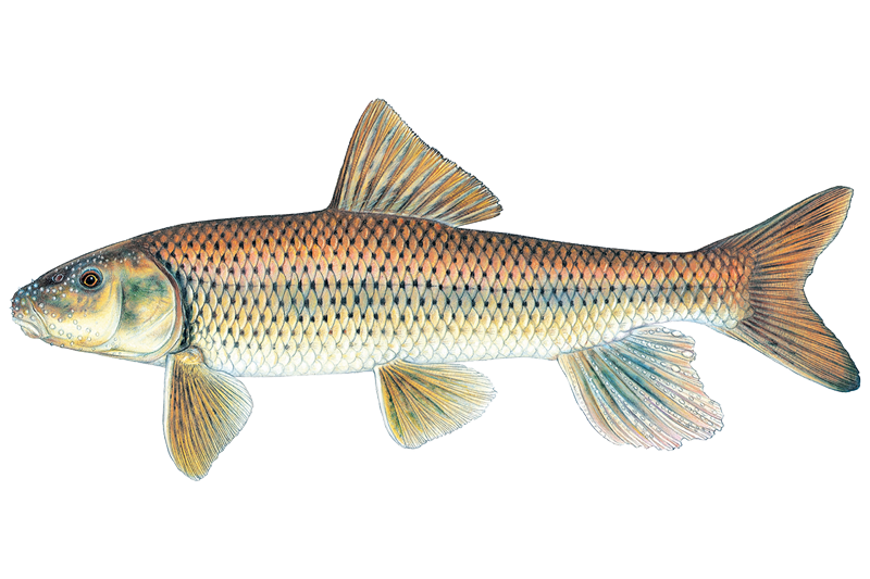
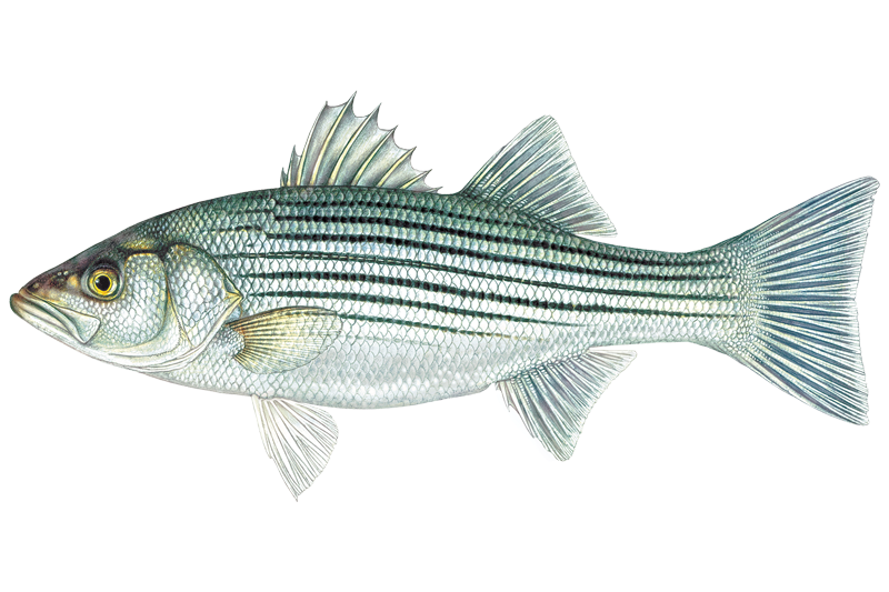
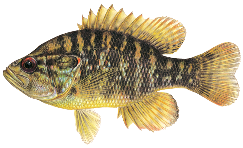
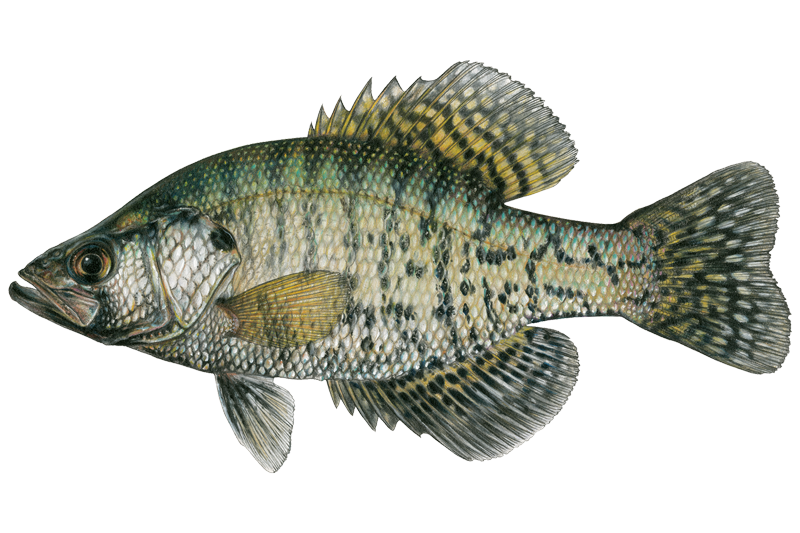
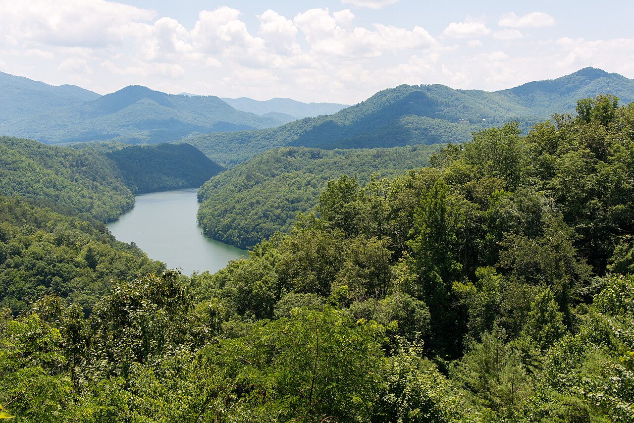
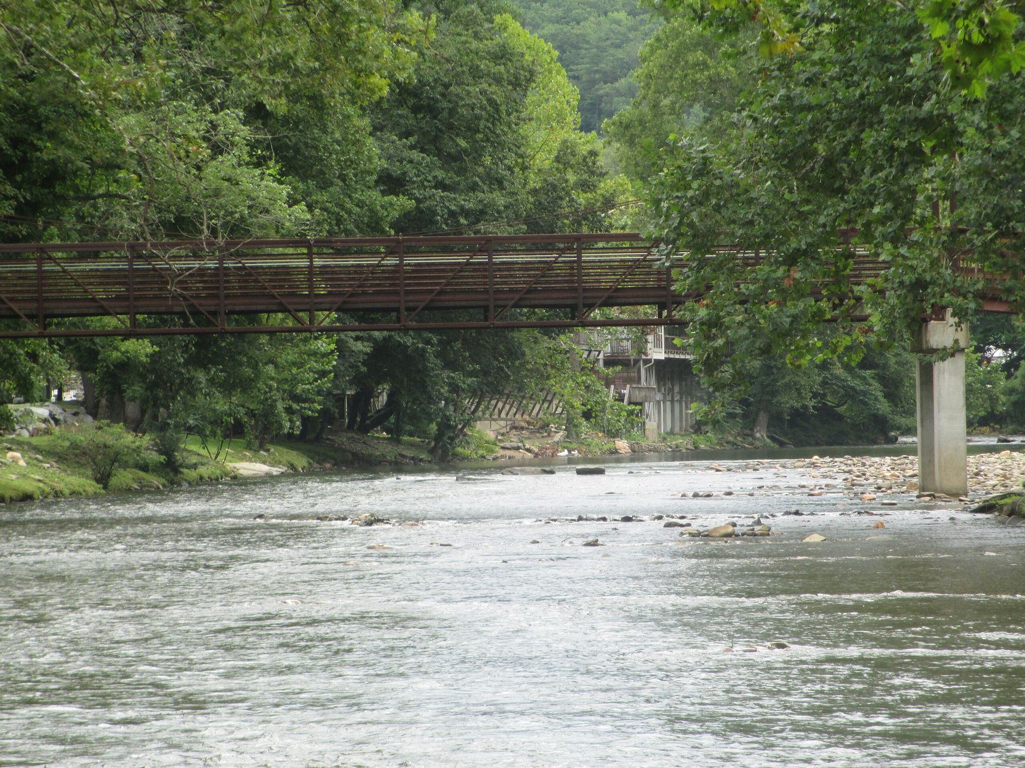
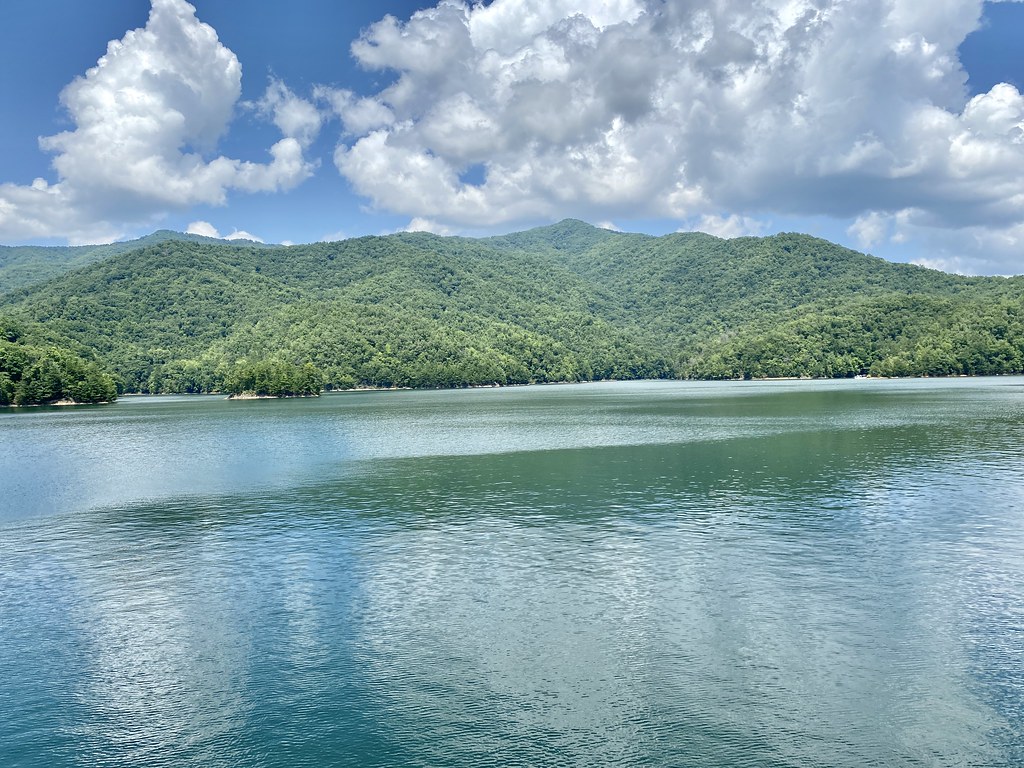
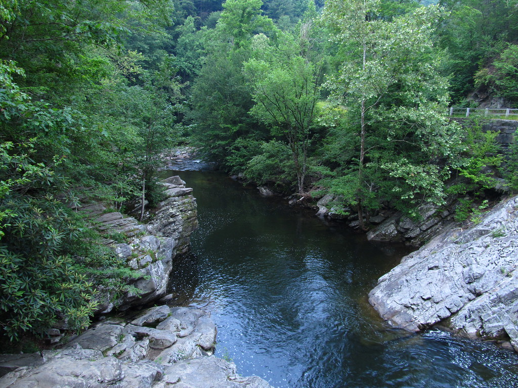
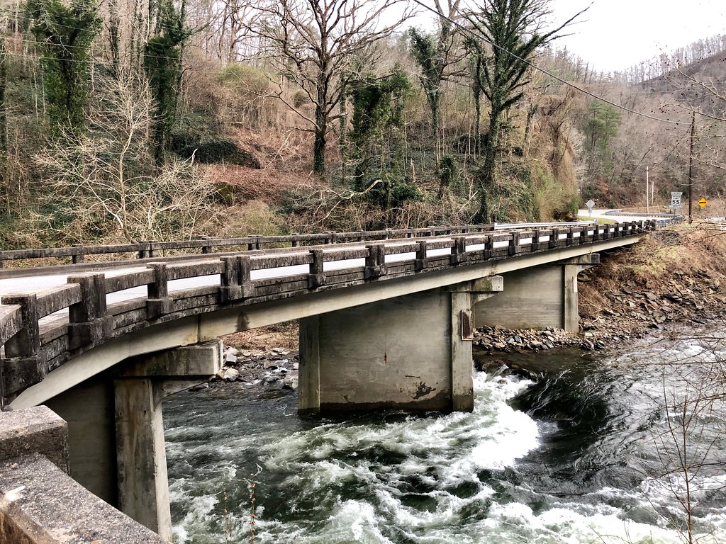
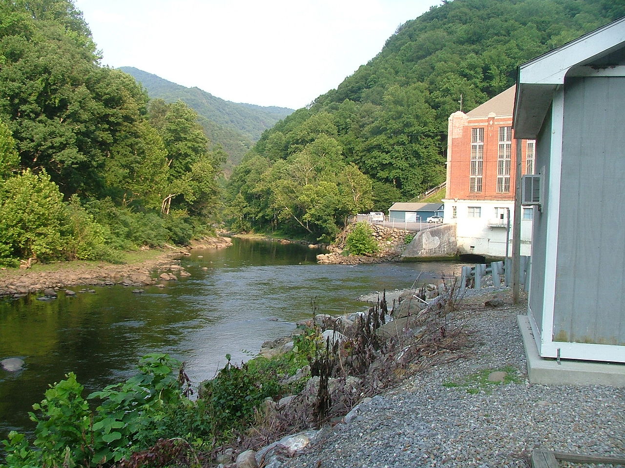
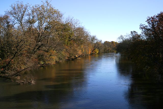
The Little Tennessee River is a magnificent 135-mile waterway that begins in northeastern Georgia, flows through western North Carolina, and eventually empties into the Tennessee River after creating Fontana Lake. Known locally as The LT, this scenic river winds through the Appalachian Mountains, offering anglers diverse fishing opportunities in a picturesque setting. The Smithsonian Institution described it in the 1880s as undoubtedly the most interesting archaeological section in the entire Appalachian district, and today it's recognized as a Native Fish Conservation Area supporting over 100 species of native fish. With consistent water flows throughout the year, the Little Tennessee provides ideal conditions for both wade fishing and drift boat fishing, making it a premier destination for anglers seeking smallmouth bass, trout, and various other species.


Fishing spots, boat ramps & amenities

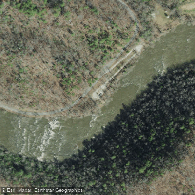
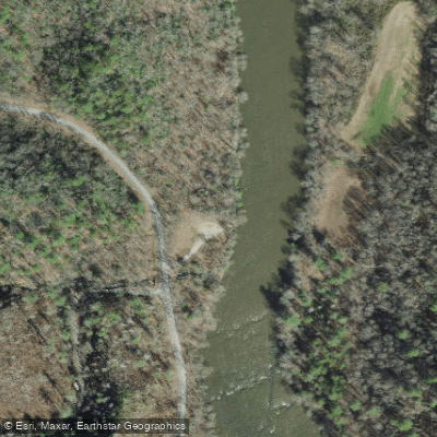
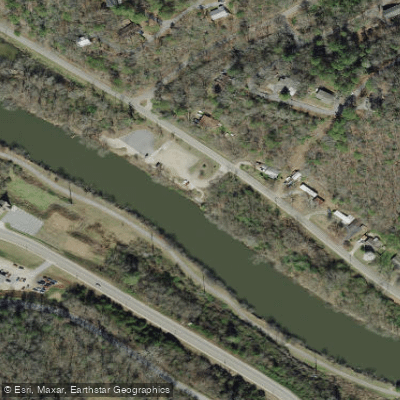
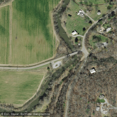
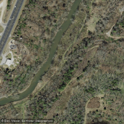
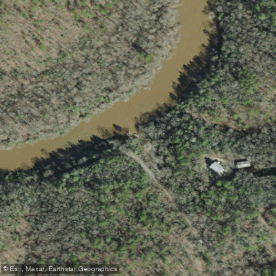
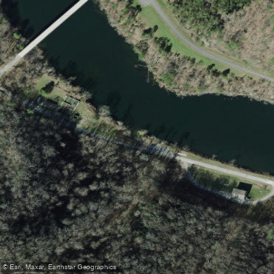
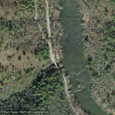
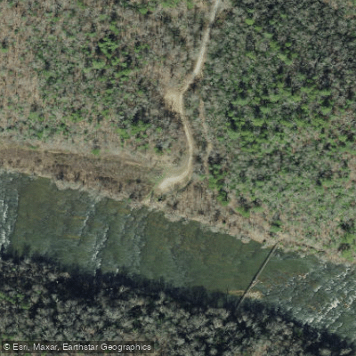
Learn how to get on Little Tennessee River. Uncover great fishing access points, boat ramps, and all the facilities you need for an unforgettable day on the water. Some locations shown may border or include private property. Always check property boundaries and applicable regulations before visiting. onWater's Public & Private Land layer can help you plan your access with confidence.

Know where you can legally fish on Little Tennessee River

See public and private land boundaries along the water, turn on private parcels with owner details to know where permission is required, and find land-trust parcels that offer permitted fishing access.

North Carolina licenses and regulations

Take Little Tennessee River with you

The onWater Fish app keeps this water's access points, species and conditions in your pocket, with the tools you use once you're there.

  • Use the map without signal

    Download the map around Little Tennessee River to use it offline when coverage drops.

  • Log your catches here

    Keep a private fishing journal for Little Tennessee River to find where and when fish are biting for you.

Get the onWater Fish app

Free on iOS and Android

Water and weather conditions (10 day forecast)

See the best times to fish Little Tennessee River and check the forecast before you go.

LITTLE TENNESSEE RIVER NEAR PRENTISS, NC

Loading flow chart…
Latest
10 yr average

All Flow Stations


Dam releases

Scheduled releases and generation forecasts from the dams on Little Tennessee River.

Chilhowee Dam

Little Tennessee River · Below Chilhowee Dam · Brookfield Smoky Mountain Hydropower

Generating today 7:00 PM EST to 11:00 PM EST, up to 2 units

Next 48 hours

Today
7:00 PM EST to 11:00 PM EST
up to 2 units
Brookfield Smoky Mountain Hydropower on safewaters.com

Forecast updated Fri, Nov 13 at 5:23 PM EST. Schedules can change, so check the operator's page before you go.


Explore North Carolina waters

Smarter Fishing Starts in the App.

onWater Fish gives you everything you need to plan smarter, fish better, and own every trip from first cast to last.