Lake Gaston
Lake Gaston
- Boat Ramps
- 7
- Access Points
- 10
- Species
- 23
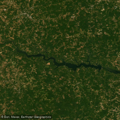
Lake Gaston is a 20,300-acre man-made reservoir straddling the border of North Carolina and Virginia. Stretching 35 miles from the John H. Kerr Dam to the Gaston Dam, this picturesque lake boasts 350 miles of shoreline and serves multiple purposes including hydroelectric power generation, public water supply, and recreation. With an average depth of 40 feet, Lake Gaston offers relatively stable water levels that typically fluctuate only 6-12 inches, making it a predictable and reliable fishing destination. The lake's diverse underwater structure, including rocky points, humps adjacent to the river channel, creek arms with boat docks, riprap banks, and abundant aquatic vegetation create ideal habitats for a variety of game fish, establishing Lake Gaston as a premier fishing destination in both states.
Species & education
Learn what type of fish are at Lake Gaston and what's needed to catch them.

Find which waters have the species you want to catch

Largemouth Bass
Micropterus salmoides
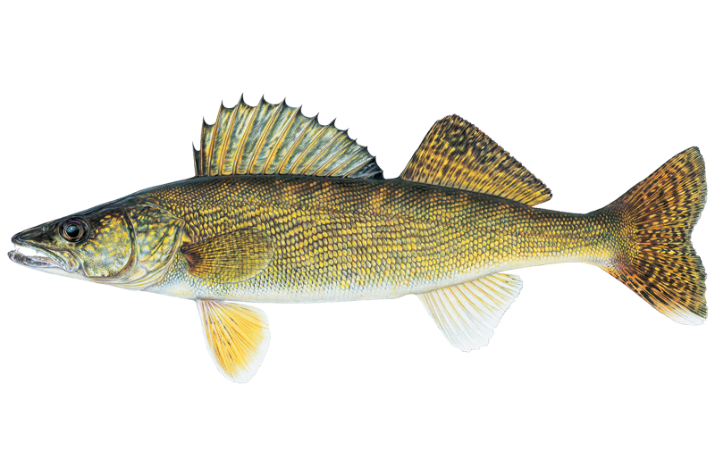
Walleye
Sander vitreus

Black Crappie
Pomoxis nigromaculatus
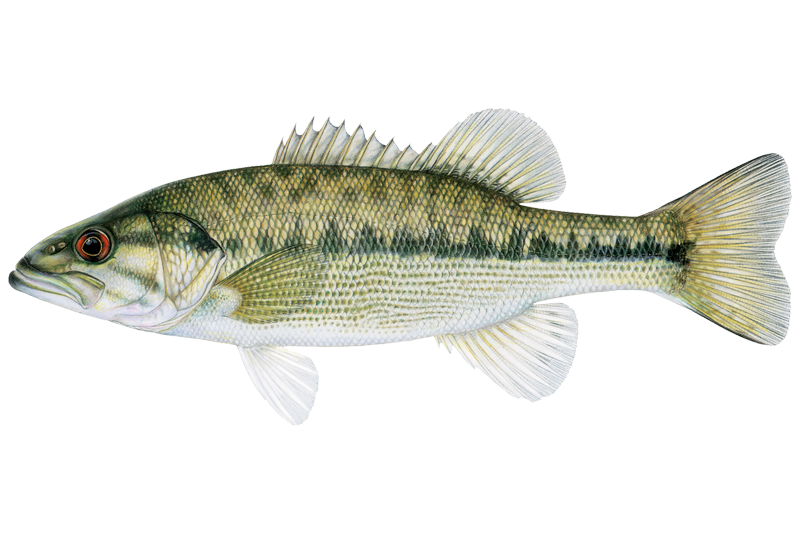
Alabama Bass
Micropterus henshalli

Black Bullhead
Ameiurus melas

Blue Catfish
Ictalurus furcatus

Bluegill Sunfish
Lepomis macrochirus

Brown Bullhead
Ameiurus nebulosus
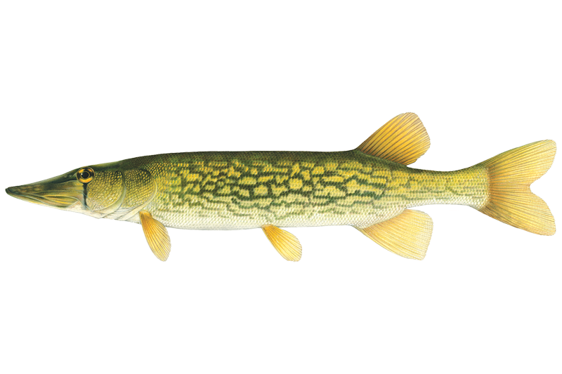
Chain Pickerel
Esox niger

Channel Catfish
Ictalurus punctatus

Common Carp
Cyprinus carpio

Flathead Catfish
Pylodictis olivaris
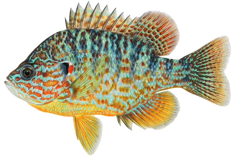
Pumpkinseed
Lepomis gibbosus
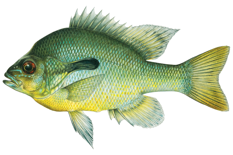
Redbreast Sunfish
Lepomis auritus
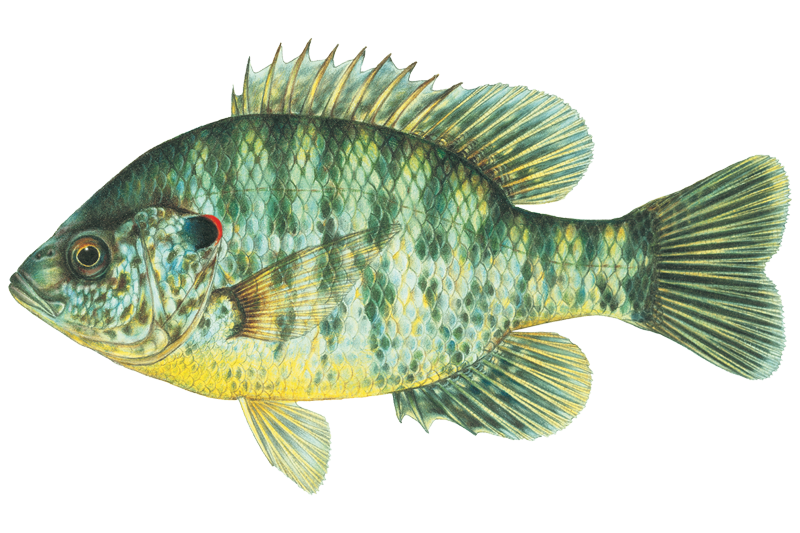
Redear Sunfish
Lepomis microlophus
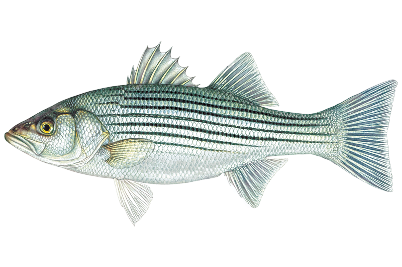
Striped Bass
Morone saxatilis
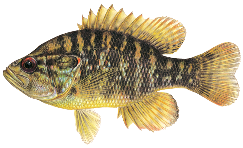
Warmouth Sunfish
Lepomis gulosus

White Bass
Morone chrysops
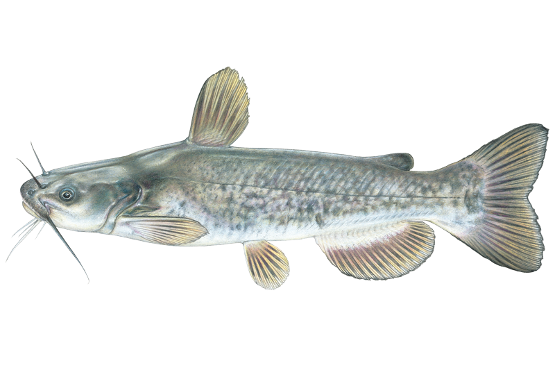
White Catfish
Ameiurus catus
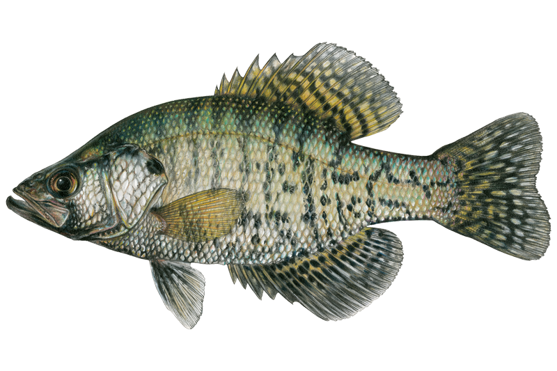
White Crappie
Pomoxis annularis
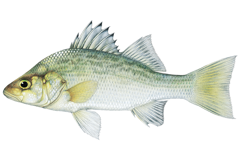
White Perch
Morone americana

Yellow Bullhead
Ameiurus natalis

Yellow Perch
Perca flavescens
Fishing spots, boat ramps & amenities
Learn how to get on Lake Gaston. Uncover great fishing access points, boat ramps, and all the facilities you need for an unforgettable day on the water. Some locations shown may border or include private property. Always check property boundaries and applicable regulations before visiting. onWater's Public & Private Land layer can help you plan your access with confidence.
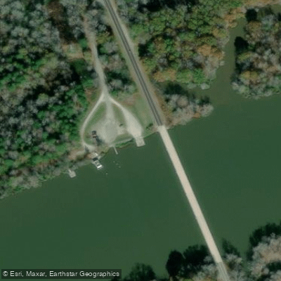
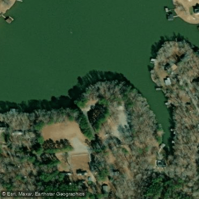
Know where you can legally fish on Lake Gaston
See public and private land boundaries along the water, turn on private parcels with owner details to know where permission is required, and find land-trust parcels that offer permitted fishing access.
North Carolina licenses and regulations

North Carolina Boating Regulations
When using any type of watercraft to access a body of water, it is important to follow all federal, state, and local rules and regulations. These rules and regulations include boat permitting and licensing, invasive species inspections and stamps, life jacket and PFD rules, motor size and horsepower restrictions, noise limitations, restrictions on personal watercraft, and many more. Visit the web link below for the most current rules and regulations for this body of water.

North Carolina Fishing License
Youth under age 16 are exempt from the requirements of any fishing license and trout privilege license.

North Carolina Fishing Regulations
This river has a variety of species and regulations, including potential floating and/or watercraft restrictions. Because this river is specially managed for species, seasons, angling methods, and watercraft, it is strongly encouraged you check all federal, state, and local regulations before fishing. Visit any of the links below, inquire locally, or contact a local fly shop to learn current regulations and restrictions.

North Carolina Stream Access Laws
If a boater can float the water, it is navigable and can be used for recreation. Navigable waters are in the public trust, including streambeds. If the navigable water is tidal, public use extends to all waters that cover an average high tide.
Take Lake Gaston with you
The onWater Fish app keeps this water's access points, species and conditions in your pocket, with the tools you use once you're there.
Use the map without signal
Download the map around Lake Gaston to use it offline when coverage drops.
Log your catches here
Keep a private fishing journal for Lake Gaston to find where and when fish are biting for you.
HD depth charts from Garmin
Find drop offs, ledges, channels, points and shallow flats with Garmin depth charts in the app.
Get the onWater Fish app
Free on iOS and Android
Water and weather conditions (10 day forecast)
See the best times to fish Lake Gaston and check the forecast before you go.
ROANOKE RIVER AT BUGGS ISLAND, VA
Lake Gaston fishing guides
Book a trip with a local fishing guide through Guidesly.

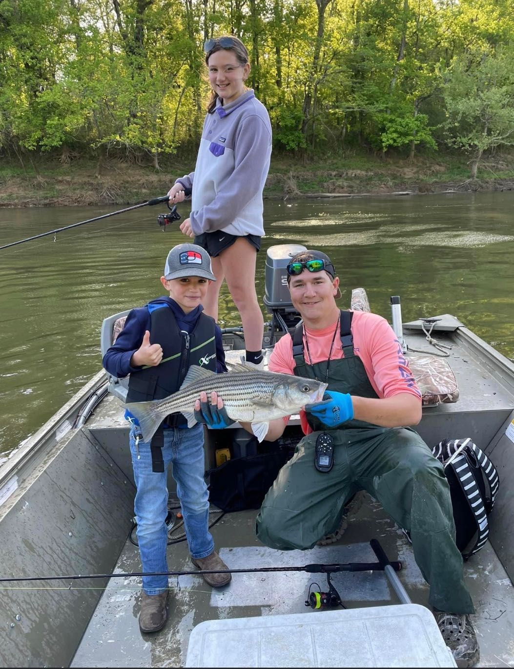

Fishing near Lake Gaston
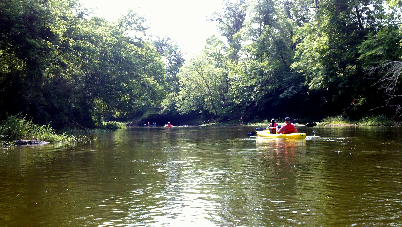
Neuse River
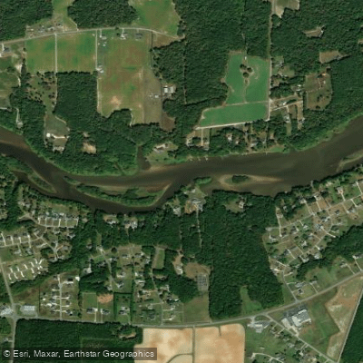
Tar River
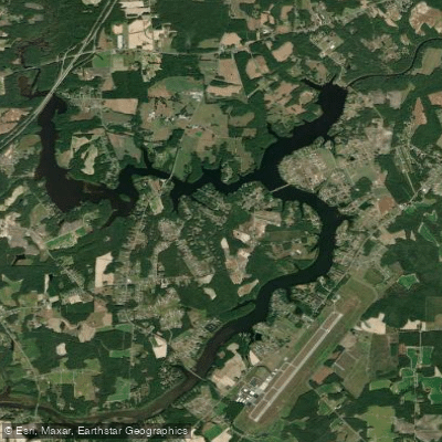
Tar River Reservoir
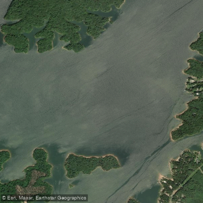
Roanoke River
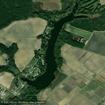
Wiggins Lake
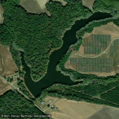
Nobles Millpond
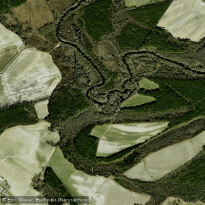
Contentnea Creek
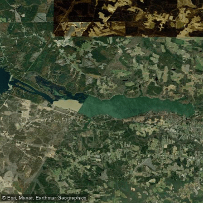
Roanoke Rapids Lake
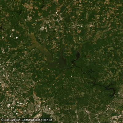
Brinkley Lake
Explore North Carolina waters
Top fishing waters
Popular Cities
Loading popular cities...
Explore near Lake Gaston
Fish species
Fishing spots
Nearby waters
More in North Carolina

Smarter Fishing Starts in the App.
onWater Fish gives you everything you need to plan smarter, fish better, and own every trip from first cast to last.