Lake Champlain
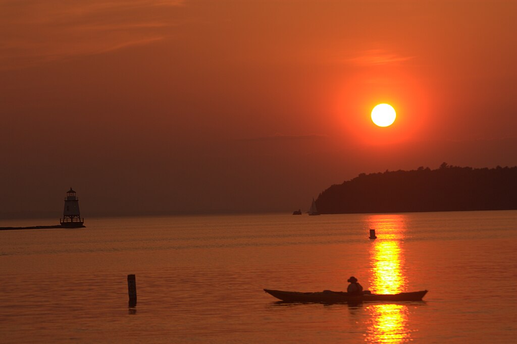
Lake Champlain
- Boat Ramps
- 63
- Access Points
- 73
- Species
- 35
Lake Champlain, a magnificent freshwater lake straddling the border between New York and Vermont with a small portion extending into Quebec, Canada, is renowned as one of the premier fishing destinations in the northeastern United States. Encompassing approximately 490 square miles and stretching 107 miles in length, this vast body of water reaches depths of up to 400 feet (with an average depth of 64 feet) between Charlotte, VT and Essex, NY. The lake offers exceptional fishing opportunities for both warm and cold-water game fish throughout all four seasons, making it a year-round angler's paradise. Connected to the Richelieu River and ultimately the Saint Lawrence River, Lake Champlain is flanked by the stunning Adirondack Mountains to the west and the Green Mountains to the east, creating a spectacular backdrop for your fishing adventures.
Species & education
Learn what type of fish are at Lake Champlain and what's needed to catch them.

Find which waters have the species you want to catch

Largemouth Bass
Micropterus salmoides

Smallmouth Bass
Micropterus dolomieu

Rainbow Trout
Oncorhynchus mykiss

Brown Trout
Salmo trutta

Brook Trout
Salvelinus fontinalis
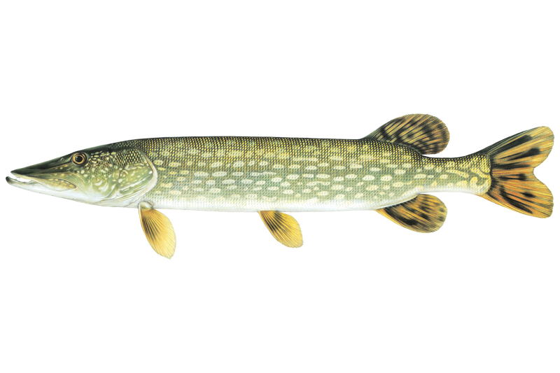
Northern Pike
Esox lucius
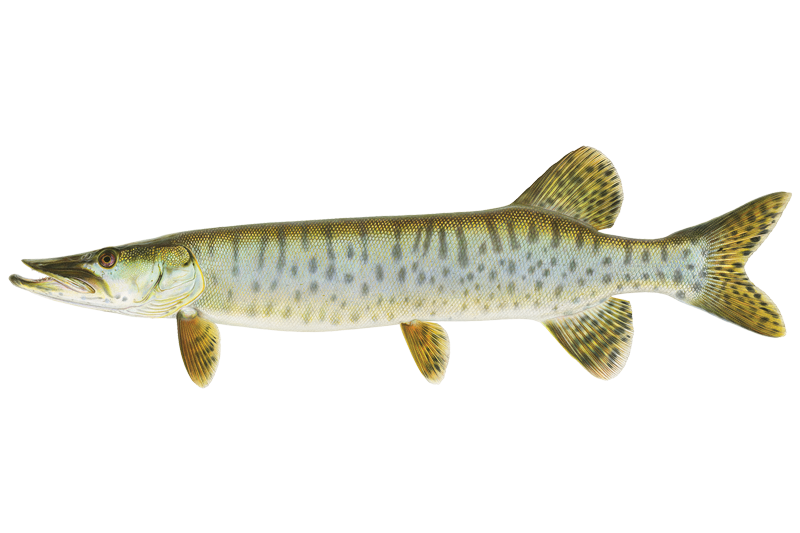
Muskellunge
Esox masquinongy
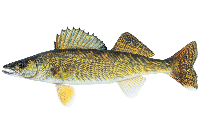
Walleye
Sander vitreus

Black Crappie
Pomoxis nigromaculatus

Atlantic Salmon
Salmo salar

Black Bullhead
Ameiurus melas

Bluegill Sunfish
Lepomis macrochirus

Brown Bullhead
Ameiurus nebulosus
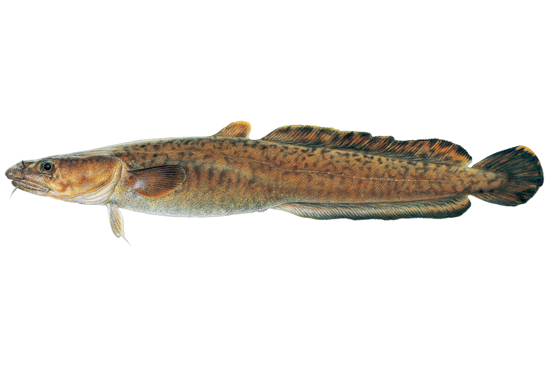
Burbot
Lota lota
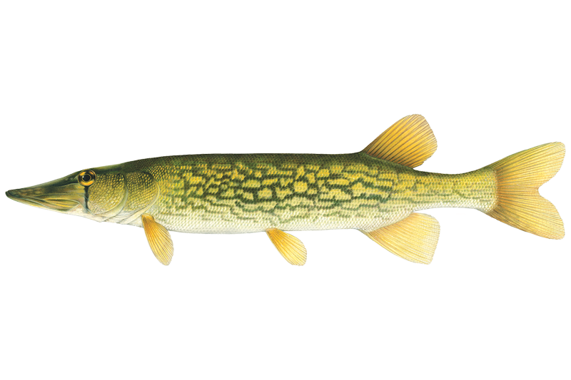
Chain Pickerel
Esox niger

Channel Catfish
Ictalurus punctatus

Common Carp
Cyprinus carpio
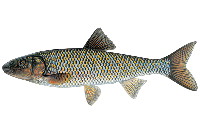
Fallfish
Semotilus corporalis
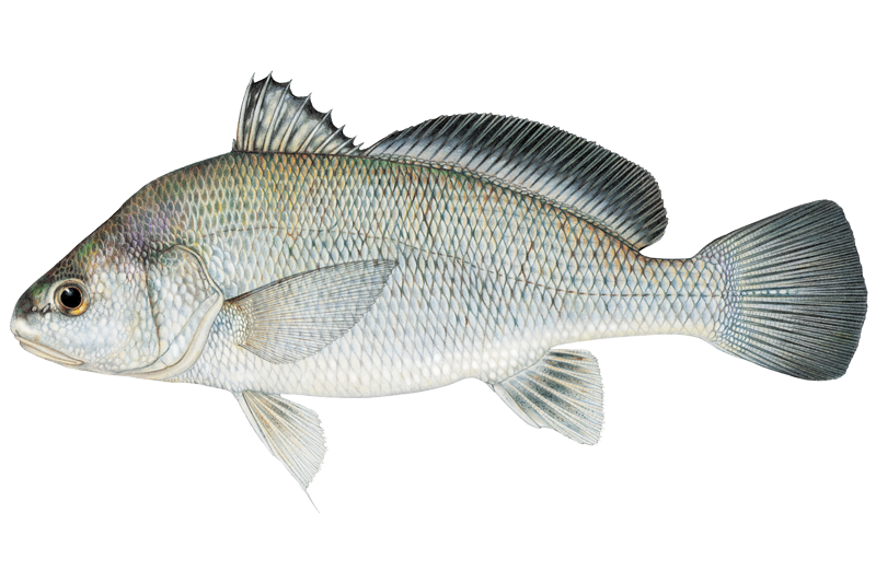
Freshwater Drum
Aplodinotus grunniens
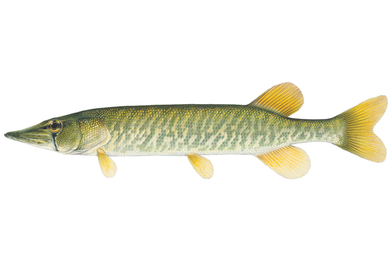
Grass Pickerel
Esox americanus

Lake Trout
Salvelinus namaycush

Lake Whitefish
Coregonus clupeaformis
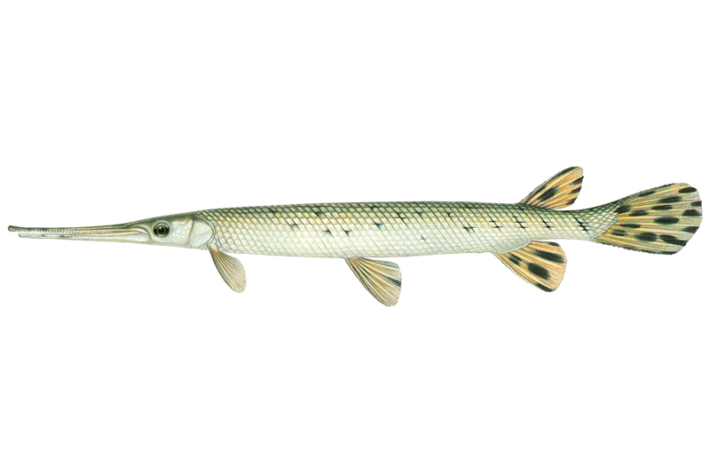
Longnose Gar
Lepisosteus osseus
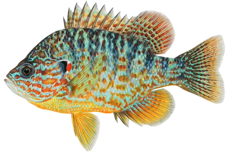
Pumpkinseed
Lepomis gibbosus

Quillback Carpsucker
Carpiodes cyprinus

Rock Bass
Ambloplites rupestris
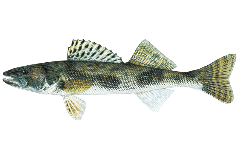
Sauger
Sander canadensis
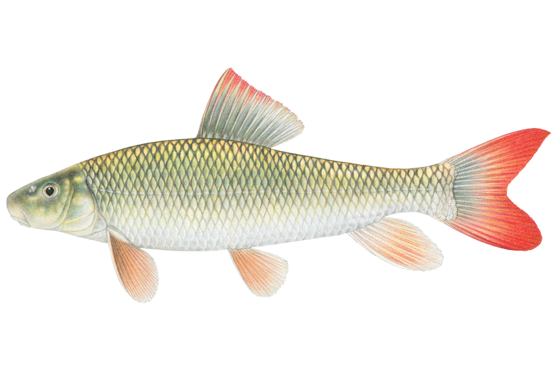
Shorthead Redhorse Sucker
Moxostoma macrolepidotum
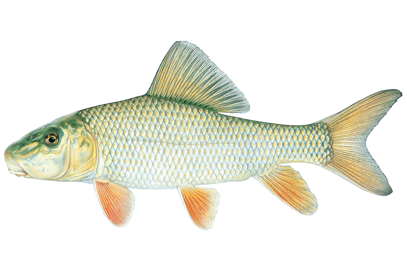
Silver Redhorse
Moxostoma anisurum
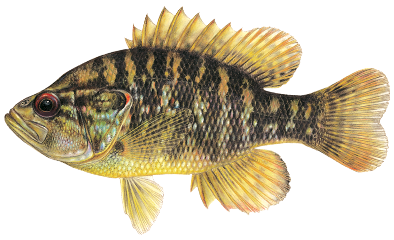
Warmouth Sunfish
Lepomis gulosus
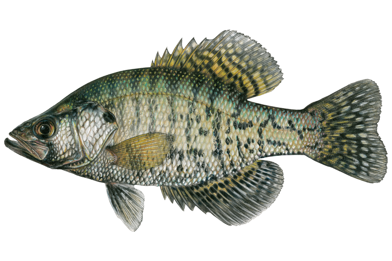
White Crappie
Pomoxis annularis
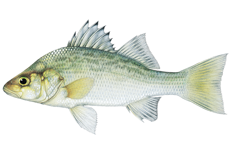
White Perch
Morone americana

White Sucker
Catostomus commersonii

Yellow Bullhead
Ameiurus natalis

Yellow Perch
Perca flavescens
Fish stocking schedule
Latest 5 stockings
- Walleye15,806 fish · 1.9 inJun 3, 2026
- Walleye58,477 fish · 1.9 inJun 2, 2026
- Walleye108,461 fish · 1.9 inJun 1, 2026
- Walleye491,000 fish · 0.2 inMay 1, 2026
- Atlantic Salmon6,500 fish · 7.2 inApr 15, 2026
Source
Vermont Fish & Wildlife Department
Updated Nov 13, 2026. Sizes are the length the agency reports. Dates are as precise as the agency reports them.
Open stocking page, opens in new tabFishing spots, boat ramps & amenities
Learn how to get on Lake Champlain. Uncover great fishing access points, boat ramps, and all the facilities you need for an unforgettable day on the water. Some locations shown may border or include private property. Always check property boundaries and applicable regulations before visiting. onWater's Public & Private Land layer can help you plan your access with confidence.
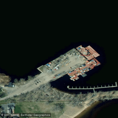
Wilcox Access
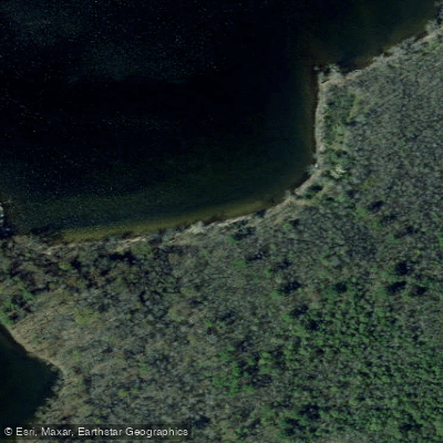
Butterfly Bay
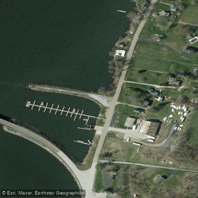
North Hero Causeway Access
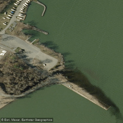
Powerhouse Park Access
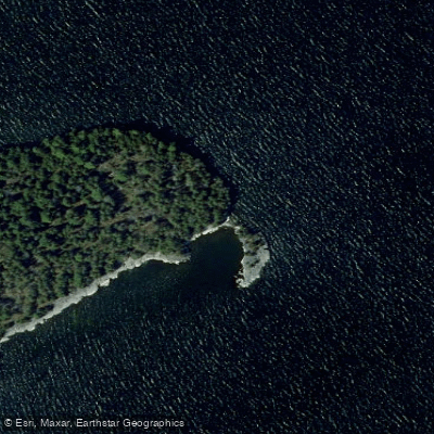
Tiger Point
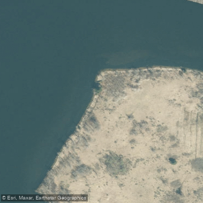
Schuyler Island Primitive Area Trail
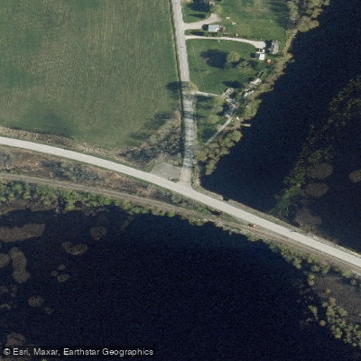
Charcoal Creek Access
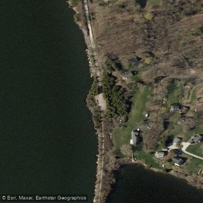
Allen Point Access
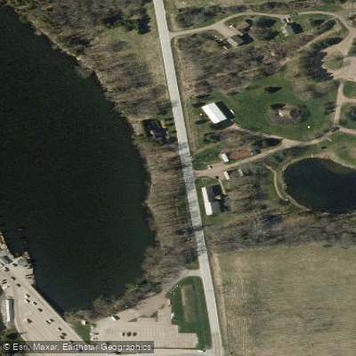
Ed Weed Access
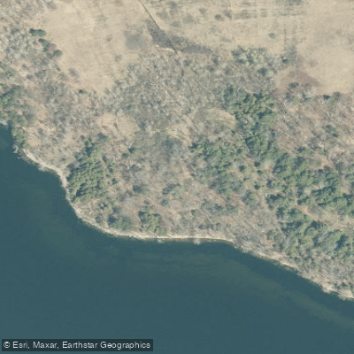
Schuyler South Trail
Know where you can legally fish on Lake Champlain
See public and private land boundaries along the water, turn on private parcels with owner details to know where permission is required, and find land-trust parcels that offer permitted fishing access.
Vermont licenses and regulations

Vermont Boating Regulations
When using any type of watercraft to access a body of water, it is important to follow all federal, state, and local rules and regulations. These rules and regulations include boat permitting and licensing, invasive species inspections and stamps, life jacket and PFD rules, motor size and horsepower restrictions, noise limitations, restrictions on personal watercraft, and many more. Visit the web link below for the most current rules and regulations for this body of water.

Vermont Fishing License
No Fishing License Needed If: You are under 15 years of age (resident or nonresident).

Vermont Fishing Regulations
This river has a variety of species and regulations, including potential floating and/or watercraft restrictions. Because this river is specially managed for species, seasons, angling methods, and watercraft, it is strongly encouraged you check all federal, state, and local regulations before fishing. Visit any of the links below, inquire locally, or contact a local fly shop to learn current regulations and restrictions.

Vermont Stream Access Laws
Vermont recognizes a recreation extension of the federal navigability test. Non-navigable waters have a public easement for navigation but owners of land under non-tidal waters own it up the the low-water mark.
Take Lake Champlain with you
The onWater Fish app keeps this water's access points, species and conditions in your pocket, with the tools you use once you're there.
Use the map without signal
Download the map around Lake Champlain to use it offline when coverage drops.
Log your catches here
Keep a private fishing journal for Lake Champlain to find where and when fish are biting for you.
HD depth charts from Garmin
Find drop offs, ledges, channels, points and shallow flats with Garmin depth charts in the app.
Get the onWater Fish app
Free on iOS and Android
Water and weather conditions (10 day forecast)
See the best times to fish Lake Champlain and check the forecast before you go.
MILL RIVER AT GEORGIA SHORE RD, NR ST ALBANS, VT
All Flow Stations
Lake Champlain fishing guides
Book a trip with a local fishing guide through Guidesly.

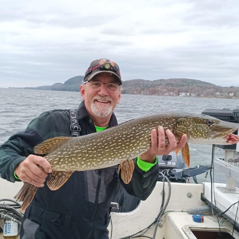
Rob Thorne
Captain Thorny's Fishing Charters
5.0 (27 reviews)
Lake Champlain fishing trips with Captain Rob
Book on Guidesly, opens in new tab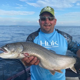
Scott Thurber
Irish Raider Outfitters LLC
5.0 (4 reviews)
Fish and Hunt in Lake Champlain and Adirondacks
Book on Guidesly, opens in new tab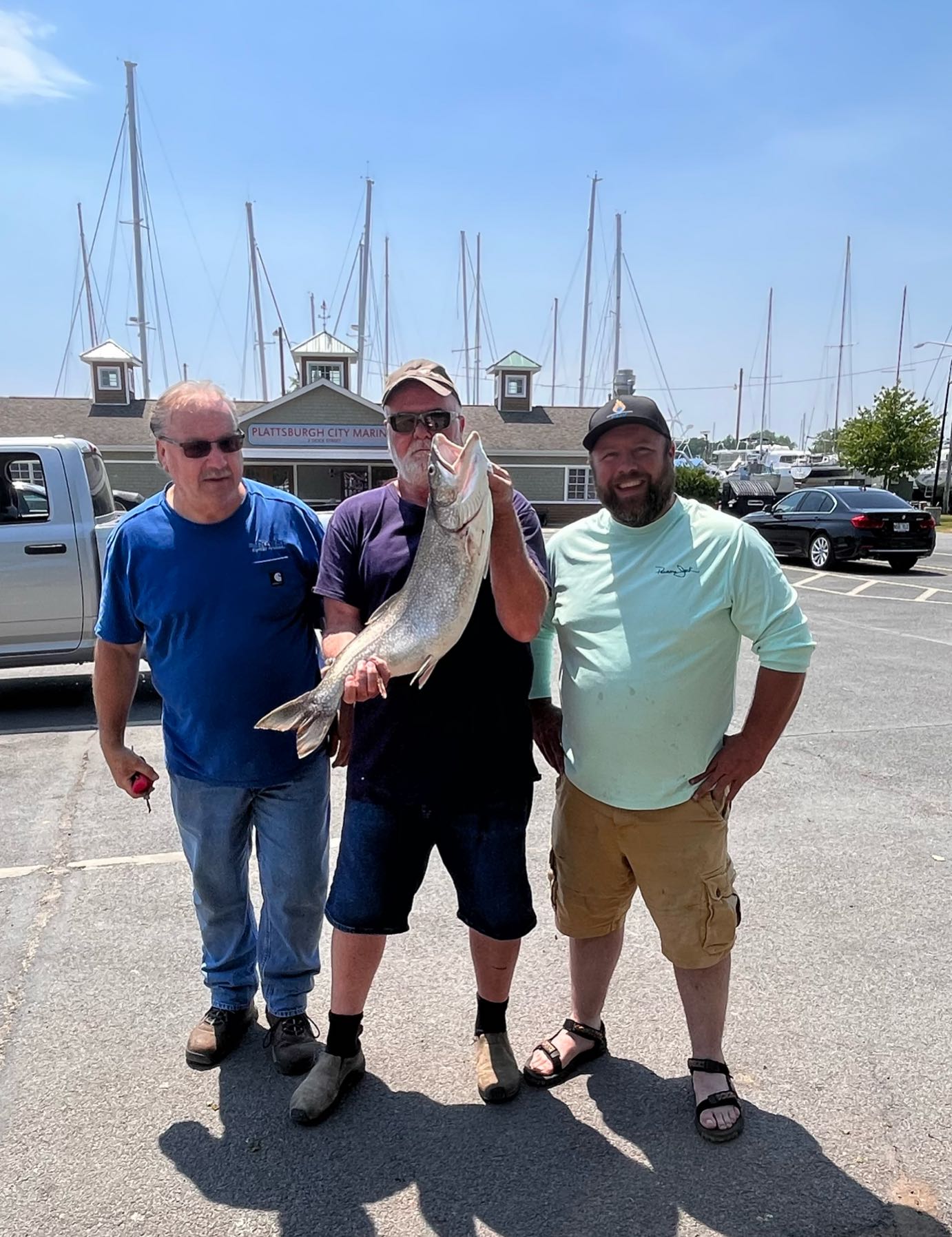
Pete Murray
Lake Champlain Trout Scout Charters
5.0 (1 review)
Best Lake Champlain Fishing with Captain Pete.
Book on Guidesly, opens in new tab
Fishing near Lake Champlain
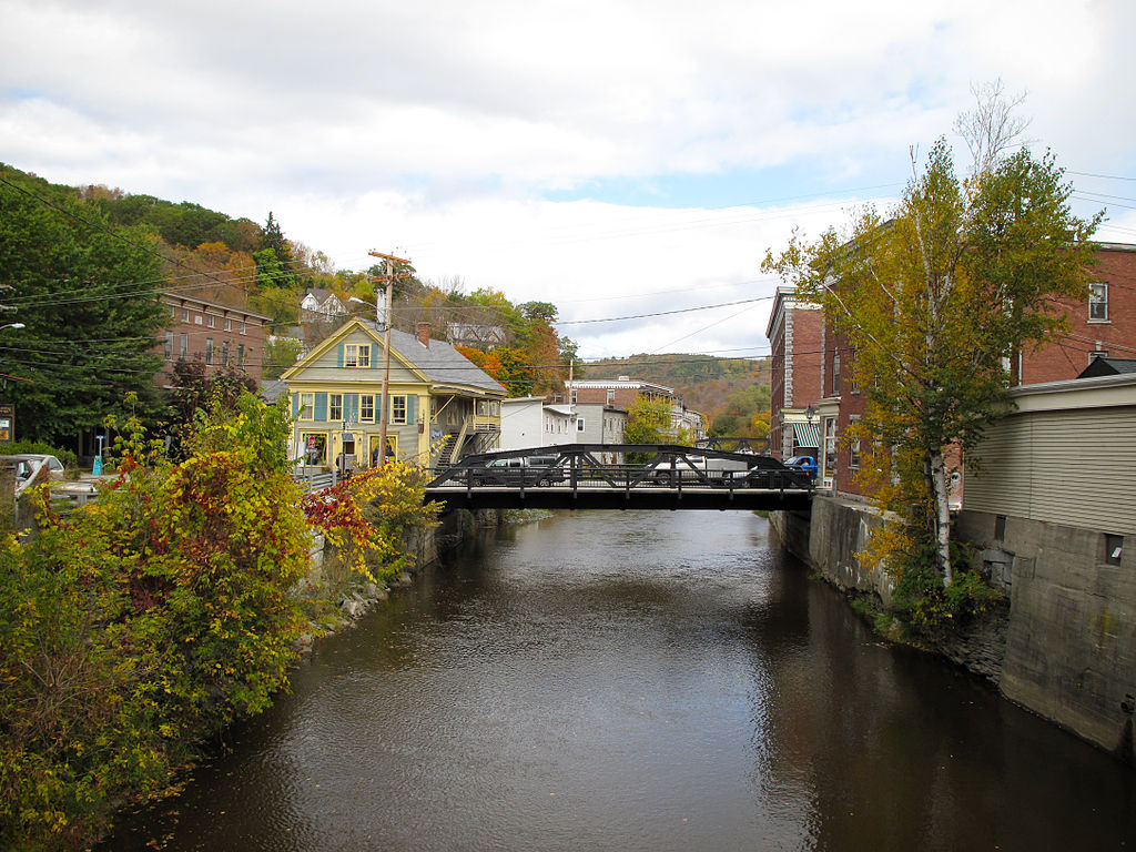
Winooski River
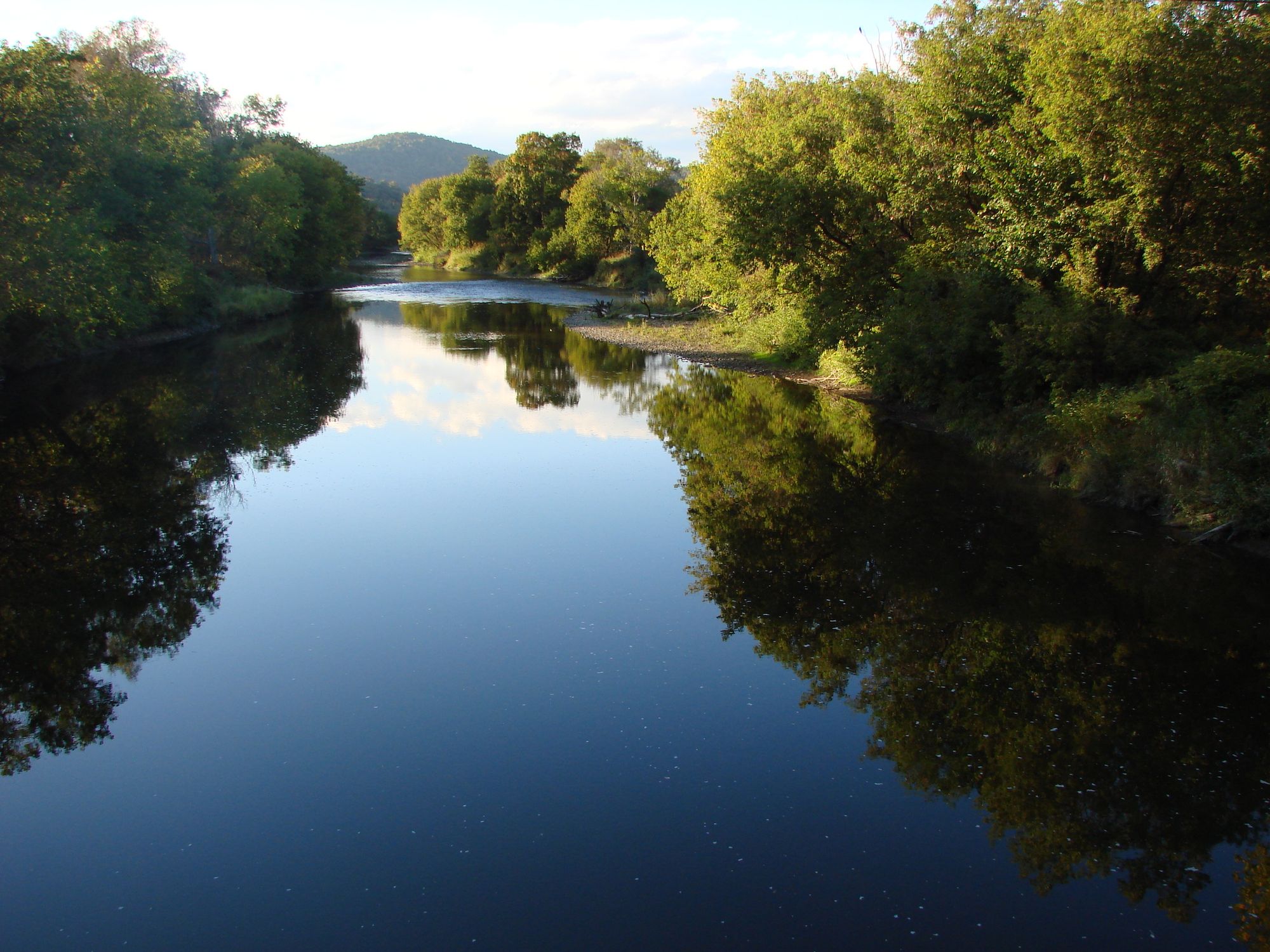
Lamoille River
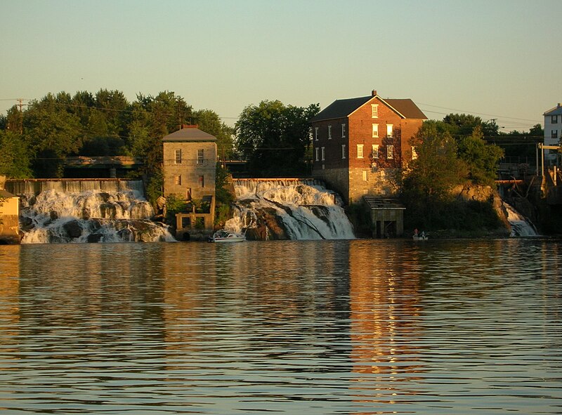
Otter Creek
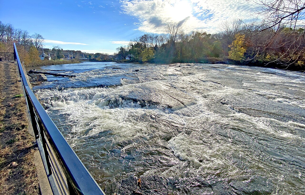
Boquet River
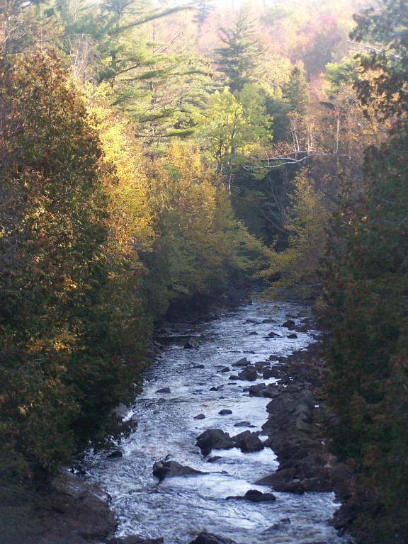
Saranac River
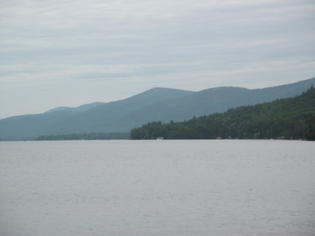
Lake George
New Haven River
Schroon River

Hudson River
Explore Vermont waters
Top fishing waters
Popular Cities
Loading popular cities...
Explore near Lake Champlain
Fish species
Fishing spots
Nearby waters
More in Vermont

Smarter Fishing Starts in the App.
onWater Fish gives you everything you need to plan smarter, fish better, and own every trip from first cast to last.