Fishing in Wrangell-St. Elias National Park
- National Park
- Lakes
- 24
- Rivers
- 159
- Access
- 0
- Boat Ramps
- 0
- Shops
- 0
- Species
- 14
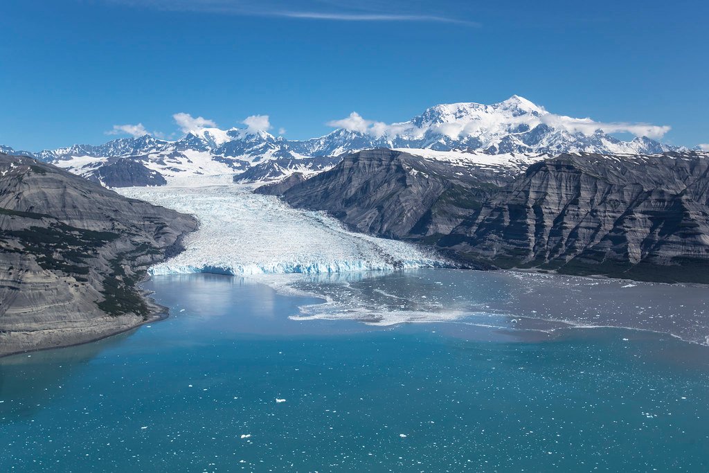
Wrangell-St. Elias is the largest national park in the United States — over 13 million acres of glaciers, mountain ranges, and drainages that split between two of Alaska's great river systems.
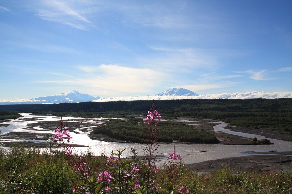
The Copper River drains south toward the Gulf of Alaska; the Yukon River drainage runs north toward the Bering Sea.
That divide matters to anglers because the fish don't cross it: rainbow trout and steelhead are native to the Copper side, northern pike to the Yukon side, and salmon have not been found in the Yukon drainage portion of the park at all.
Road access into this country is limited to two corridors — Nabesna Road and McCarthy Road — and most of the fishable water that visitors actually reach sits along or near those routes. On the Nabesna Road side, Rufus Creek at mile 6 holds Dolly Varden.
Twin Lakes at mile 27. 8, where Kendesnii Campground sits, is the more productive stop — arctic grayling, lake trout, and burbot are all possible. Jack Creek at mile 35. 3 is another primitive campsite with fishing nearby.
Along the McCarthy Road corridor, Sculpin Lake, Silver Lake, and Strelna Lake are the named waters.
The Edgerton Highway, which connects to Chitina and the park's western approach, runs past Liberty Falls Creek at mile 25, then 3-Mile Lake at mile 30, 2-Mile Lake at mile 31, and Chitina Lake at mile 33 — all worth stopping for rainbow trout, arctic grayling, and Dolly Varden.
The Copper River itself, and the Klutina River near Copper Center, are where salmon fishing concentrates. Sockeye, Chinook, and silver salmon move through the Klutina.
Copper River salmon — among the first commercially harvested in Alaska each year — originate in part from waters inside the park and return through it to spawn, carrying ocean nutrients back into streams that would otherwise run lean.
A State of Alaska Sport Fishing License is required to fish here. The park and preserve spans three state sport fish management regions, with road-accessible waters falling under the Upper Copper/Upper Susitna and Upper Tanana River management areas.
Qualified rural residents fishing under federal subsistence regulations may need a federal registration permit, available at the Wrangell-St.
Elias Visitor Center in Copper Center and the Slana Ranger Station — check with the park for current requirements before you go. Most of this water is remote enough that you won't share a bank with many people. That's the point.
Getting to the better water often means committing to the road conditions, the weather, and the distance — which is exactly what keeps it worth fishing.
Top waters to fish near Wrangell St Elias National Park
Species & education
Learn what type of fish are in Wrangell-St. Elias National Park and what's needed to catch them.

Find which waters have the species you want to catch

Chinook Salmon
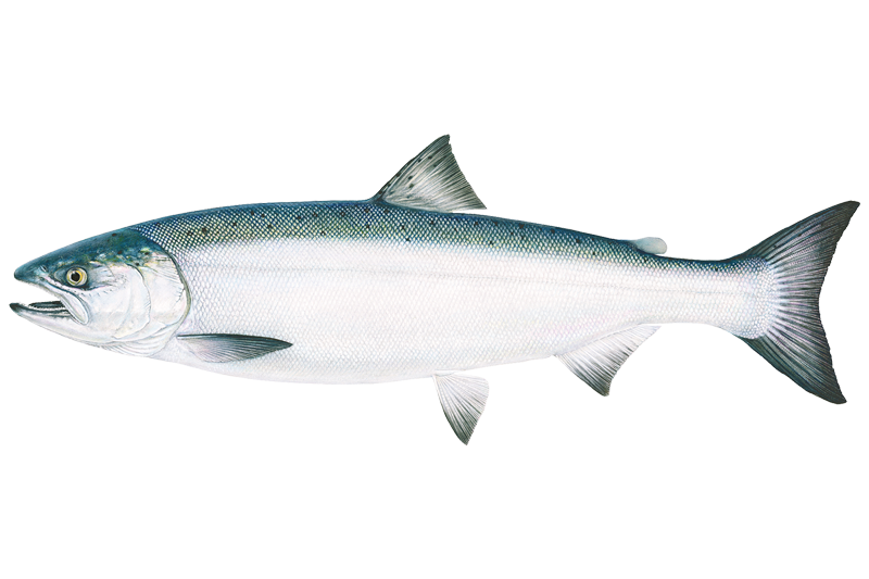
Coho Salmon
Oncorhynchus kisutch

Lingcod
Ophiodon elongatus

Pacific Halibut
Hippoglossus stenolepis

Sockeye Salmon
Oncorhynchus nerka

Yelloweye Rockfish
Sebastes ruberrimus

Arctic Grayling
Thymallus arcticus

Burbot
Lota lota

Lake Trout
Salvelinus namaycush
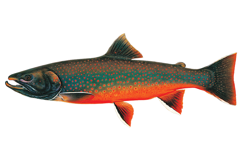
Dolly Varden
Salvelinus malma

Pink Salmon
Oncorhynchus gorbuscha

Red Snapper
Lutjanus campechanus

Rainbow Trout
Oncorhynchus mykiss

Steelhead
Water and weather conditions (10 day forecast)
See the best times to fish Wrangell-St. Elias National Park and check the forecast before you go.
No forecast data available.
Fishing guides near Wrangell-St. Elias National Park
Book a trip with a local fishing guide through Guidesly.

Fish smarter with real-time insights
Whether you're en route and conditions shift or you're looking for the best spot based on current flows, we enable you to make informed decisions on the fly.




Fishing near Wrangell-St. Elias National Park
Loading...
Gateway towns
Where to base yourself for fishing in Wrangell-St. Elias National Park.
- McCarthyAK
The main hub inside the park, with lodges, outfitters, guides, and access to Kennecott and the glaciers.
Home to the park's main visitor center and a practical base before heading deeper into the park.
- ChitinaAK
Small gateway town at the start of McCarthy Road, with a ranger station and last services before the backcountry.
- SlanaAK
Northern gateway with a ranger station serving visitors entering via Nabesna Road on the park's north side.
Wrangell-St. Elias National Park fishing rules
The park's own rules, on top of Alaska licenses and regulations. Limits, fees and closures change, so check the park's page before you go.

Alaska Sport Fishing License Required
You must have a valid State of Alaska Sport Fishing License before casting a line anywhere in the park or preserve. Check with the Alaska Department of Fish and Game for current license requirements and fees.

Park and Preserve Both Open to Fishing
Both the national park and national preserve are open to fishing under State of Alaska regulations set by the Alaska Board of Fisheries. Know which land designation you are fishing in, as hunting and trapping rules differ by area.

Federal Subsistence Permits for Qualified Residents
Qualified local rural residents may need a federal registration permit to fish certain species and areas, including the Upper Copper River. Pick up permits at park visitor centers and bring a photo ID and proof of local physical address.

Mercury Found in Some Park Fish
Mercury has been detected in fish from some lakes within the park. Visit the park's Mercury in Fish page for details on which waters are affected before you plan to keep your catch.
Explore Wrangell-St. Elias National Park
Top fishing waters
Popular Cities
Loading popular cities...

Smarter Fishing Starts in the App.
onWater Fish gives you everything you need to plan smarter, fish better, and own every trip from first cast to last.