Fishing in Big South Fork National River and Recreation Area
- National River
- Lakes
- 0
- Rivers
- 156
- Access
- 0
- Boat Ramps
- 5
- Shops
- 0
- Species
- 15
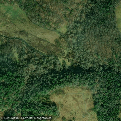
Big South Fork National River and Recreation Area protects a free-flowing river system carved into the Cumberland Plateau across the Tennessee-Kentucky border.
The Big South Fork of the Cumberland River begins at the confluence of the Clear Fork and New River in Tennessee, cuts north through a gorge that drops roughly 600 feet into sandstone and shale, and eventually empties into the Cumberland River.
The park holds over 138 miles of fishable streams, and the watershed supports 92 species of fish, 15 of which are classified as game fish. The main stem of the Big South Fork is the backbone of the fishing here.
Smallmouth bass are the primary target in the river's rocky, fast-moving stretches, where they hold in the eddies behind boulders and along the edges of rapids. Walleye, catfish, and muskie round out the catch in deeper pools and slower bends. The 10.
2-mile section from the Tennessee state line north to Blue Heron carries Kentucky Wild River designation, and the entire corridor through the park is publicly owned — no trespass concerns when you're wading or floating.
The tributaries are worth attention too, though anglers should know that contaminated mine drainage is a documented problem in many of them.
Coal mining has left at least 120 underground entries within the park, and surface water contacting mine spoils often runs acidic with elevated iron, manganese, and aluminum.
Some tributaries that once held healthy populations of native fish have been significantly degraded. Checking conditions on specific feeder streams before committing to a trip is worth the effort. Access varies considerably.
Blue Heron, the restored mining community inside the park, serves as a practical put-in for shorter floats on the Kentucky section.
Reaching the Tennessee headwaters for a longer wilderness float requires more planning — and close attention to weather, since storms in the New or Clear Fork drainages can send water levels up fast.
Both Kentucky and Tennessee fishing licenses are required depending on where you're fishing, and the state line runs through the middle of the river.
Check with the park directly for any additional regulations specific to waters inside the recreation area boundary. Eleven fish species within the park are listed as threatened or endangered.
The fishing here is real, but so is the conservation context — the Big South Fork holds some of the last intact populations of native Cumberland Plateau fish, and that's worth keeping in mind every time you wet a line.
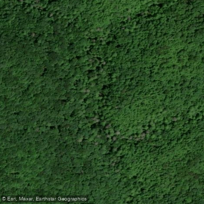
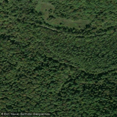
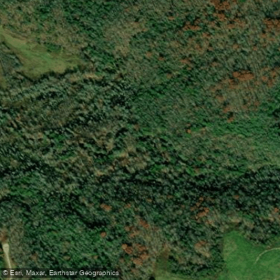
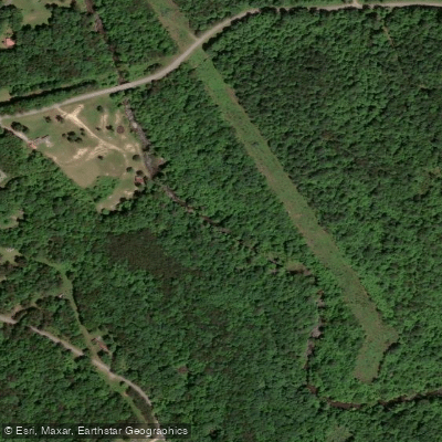
Top waters to fish near Big South Fork National River And Recreation Area
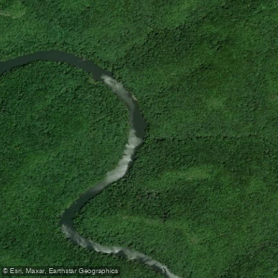
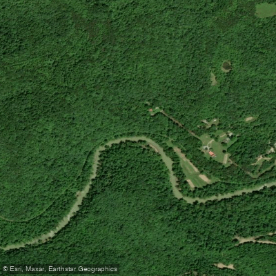
Species & education
Learn what type of fish are in Big South Fork National River and Recreation Area and what's needed to catch them.

Find which waters have the species you want to catch

Black Crappie
Pomoxis nigromaculatus

Black Redhorse
Moxostoma duquesnei

Blue Catfish
Ictalurus furcatus
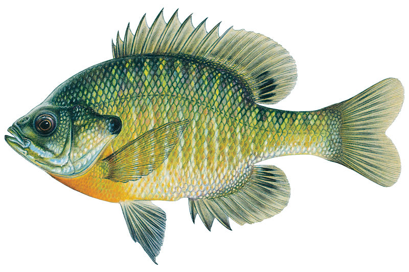
Bluegill Sunfish
Lepomis macrochirus

Brook Trout

Brown Trout
Salmo trutta

Channel Catfish
Ictalurus punctatus

Flathead Catfish
Pylodictis olivaris

Golden Redhorse
Moxostoma erythrurum

Green Sunfish
Lepomis cyanellus

Largemouth Bass

Longear Sunfish
Lepomis megalotis
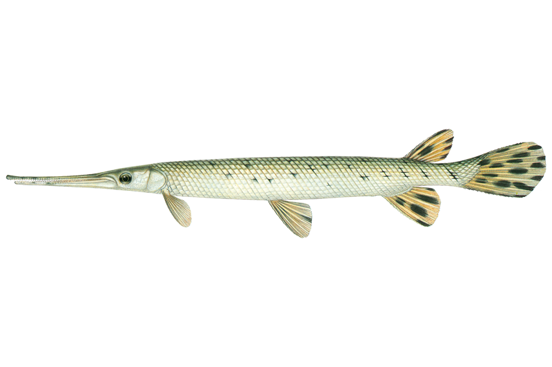
Longnose Gar

Muskellunge
Esox masquinongy
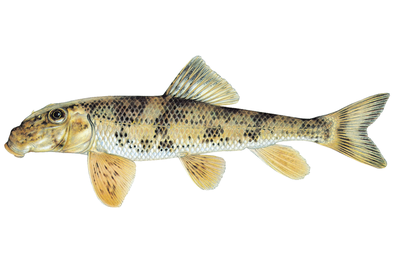
Northern Hogsucker
Hypentelium nigricans
Water and weather conditions (10 day forecast)
See the best times to fish Big South Fork National River and Recreation Area and check the forecast before you go.
No forecast data available.
Fishing guides near Big South Fork National River and Recreation Area
Book a trip with a local fishing guide through Guidesly.


Fish smarter with real-time insights
Whether you're en route and conditions shift or you're looking for the best spot based on current flows, we enable you to make informed decisions on the fly.




Fishing near Big South Fork National River and Recreation Area
Loading...
Other parks in Tennessee
Gateway towns
Where to base yourself for fishing in Big South Fork National River and Recreation Area.
- OneidaTN
Named gateway town for the park, with lodging and services near the Tennessee side of the recreation area.
- StearnsKY
Home to the Big South Fork Scenic Railway depot and the Kentucky entrance to the park's Blue Heron area.
Seat of Fentress County, one of the Tennessee counties the NPS lists for visitor accommodations near the park.
Seat of McCreary County, the Kentucky county the NPS lists as a lodging and services hub for the park's north side.
Big South Fork National River and Recreation Area fishing rules
The park's own rules, on top of Tennessee licenses and regulations. Limits, fees and closures change, so check the park's page before you go.

Use a valid state fishing license
Big South Fork follows the rules set by the Tennessee Wildlife Resources Agency and the Kentucky Department of Fish and Wildlife Resources. You need a valid license from one of those states to fish here. Check each agency's current requirements before you go.

Reciprocal licensing on boat fishing
Tennessee and Kentucky have a reciprocal licensing agreement for boat fishing between Leatherwood Ford and Yamacraw Bridge. Creel limits and other regulations of the state where your license was issued apply in that stretch.
Explore Big South Fork National River and Recreation Area
Top fishing waters
Popular Cities
Loading popular cities...

Smarter Fishing Starts in the App.
onWater Fish gives you everything you need to plan smarter, fish better, and own every trip from first cast to last.