Lac Nipissing
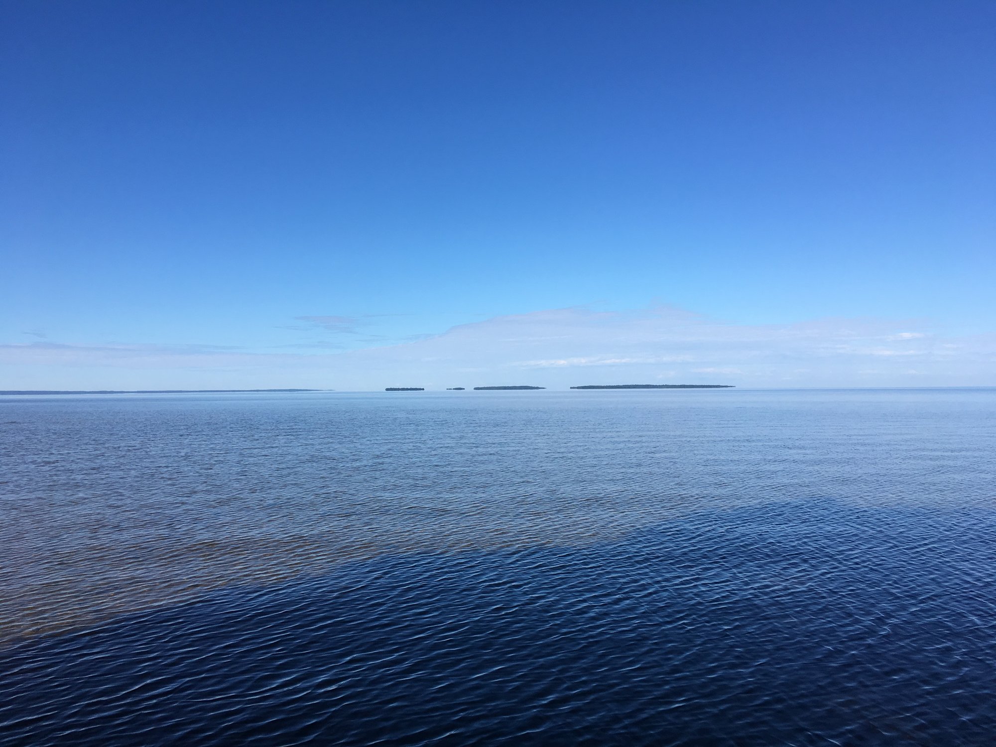
Lac Nipissing
- Boat Ramps
- 9
- Access Points
- 0
- Species
- 19
Lake Nipissing is one of Ontario's premier freshwater fishing destinations, sprawling across 875 square kilometers in Northeastern Ontario's Fisheries Management Zone 11. Stretching roughly 65 kilometers from east to west and 25 kilometers from north to south, this vast Canadian Shield lake channels into Lake Huron through the legendary French River, making it one of the largest inland lakes in the province. Despite its impressive size, Nipissing is surprisingly shallow, with an average depth of just 4.5 meters (15 feet), though the mouth of the French River plunges to a maximum depth of 52 meters (171 feet). The lake's nutrient-rich, tea-stained waters wash over pencil reeds, bulrushes, and lily pads, while sand drop-offs and rocky shoals join patches of thick cabbage weed to create a remarkably productive and diverse habitat. With over 40 species of fish, a year-round angling season, and full-service communities lining its shores less than four hours from the Greater Toronto Area, Lake Nipissing is a true destination fishery that rewards both the casual angler and the dedicated trophy hunter.
Species & education
Learn what type of fish are at Lac Nipissing and what's needed to catch them.

Find which waters have the species you want to catch

Blacknose Dace

Brown Bullhead
Ameiurus nebulosus

Burbot
Lota lota

Cisco
Coregonus artedi

Creek Chub
Semotilus atromaculatus

Freshwater Drum
Aplodinotus grunniens

Greater Redhorse
Moxostoma valenciennesi

Lake Trout
Salvelinus namaycush

Lake Whitefish
Coregonus clupeaformis
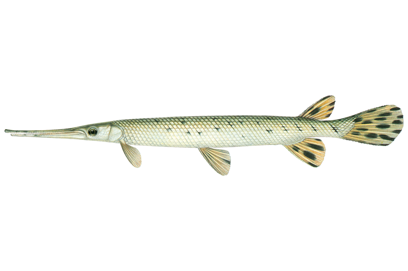
Longnose Gar
Lepisosteus osseus

Northern Pike
Esox lucius
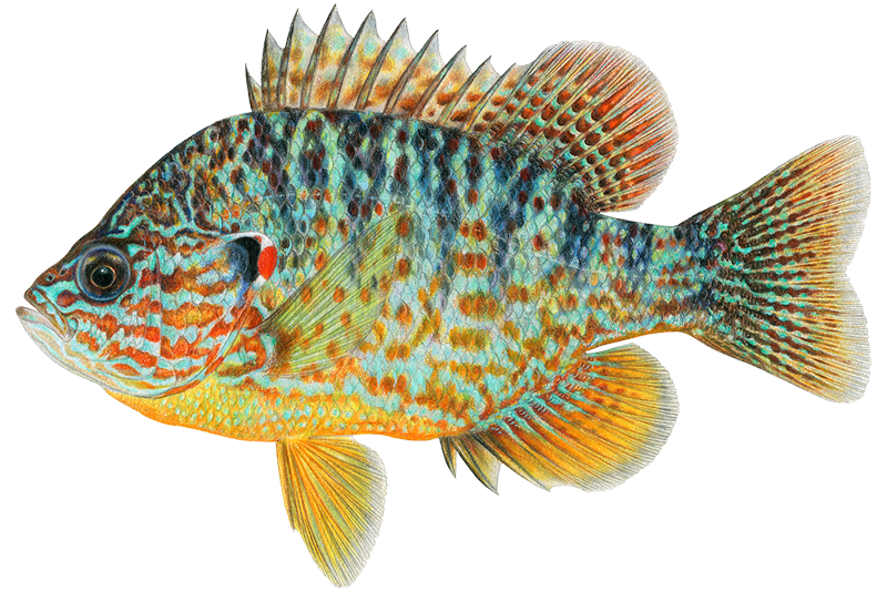
Pumpkinseed
Lepomis gibbosus

Rock Bass
Ambloplites rupestris

Smallmouth Bass
Micropterus dolomieu

Spottail Shiner

Walleye
Sander vitreus
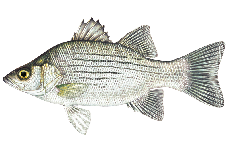
White Bass
Morone chrysops

White Sucker
Catostomus commersonii

Yellow Perch
Perca flavescens
Fishing spots, boat ramps & amenities
Learn how to get on Lac Nipissing. Uncover great fishing access points, boat ramps, and all the facilities you need for an unforgettable day on the water. Some locations shown may border or include private property. Always check property boundaries and applicable regulations before visiting. onWater's Public & Private Land layer can help you plan your access with confidence.
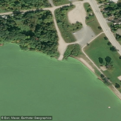
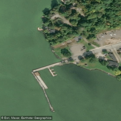
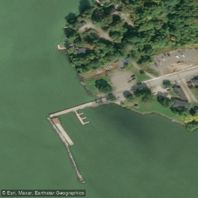
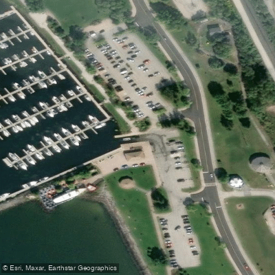
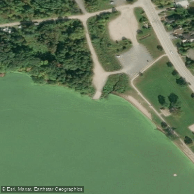
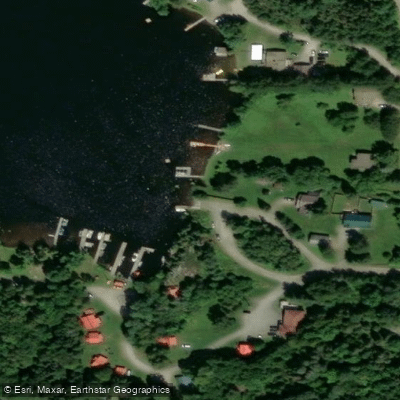
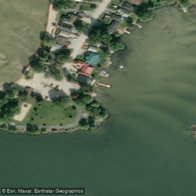
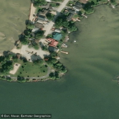
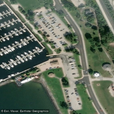
Know where you can legally fish on Lac Nipissing
See public and private land boundaries along the water, turn on private parcels with owner details to know where permission is required, and find land-trust parcels that offer permitted fishing access.
On licenses and regulations

Ontario Boating Regulations
This page explains what a Pleasure Craft License is, who needs one, how to apply for one, and how to keep your information up to date.

Ontario Fishing License
To fish in Ontario, individuals aged 18 to 64 require both an Outdoors Card and a valid fishing license. The Outdoors Card serves as a personal identification for licensing and is typically valid for three years.

Ontario Fishing Regulations
An annual guide to the rules and regulations for recreational fishing in Ontario. It contains information about recreational fishing licences, open seasons and catch limits, as well as up-to-date fishing regulations for each fishing zone.

Ontario Stream Access Laws
What you need to know about camping and other recreational activities on Ontario’s Crown land (also known as public land). This excludes provincial parks and conservation reserves.
Take Lac Nipissing with you
The onWater Fish app keeps this water's access points, species and conditions in your pocket, with the tools you use once you're there.
Use the map without signal
Download the map around Lac Nipissing to use it offline when coverage drops.
Log your catches here
Keep a private fishing journal for Lac Nipissing to find where and when fish are biting for you.
HD depth charts from Garmin
Find drop offs, ledges, channels, points and shallow flats with Garmin depth charts in the app.
Get the onWater Fish app
Free on iOS and Android
Water and weather conditions (10 day forecast)
See the best times to fish Lac Nipissing and check the forecast before you go.
LAKE NIPISSING AT NORTH BAY
All Flow Stations
Fishing near Lac Nipissing
Rivière Rouge
Don River East Branch
Don River West Branch
West Duffins Creek
East Humber River
Holland River East Branch
Little Rouge Creek
Humber River
Duffins Creek
Taylor Creek
Explore On waters
Top fishing waters
No waters available right now.
Popular Cities
Loading popular cities...
Explore near Lac Nipissing
Fish species
Fishing spots
Nearby waters
More in On

Smarter Fishing Starts in the App.
onWater Fish gives you everything you need to plan smarter, fish better, and own every trip from first cast to last.