Lake Tawakoni
Lake Tawakoni
- Boat Ramps
- 22
- Access Points
- 22
- Species
- 34
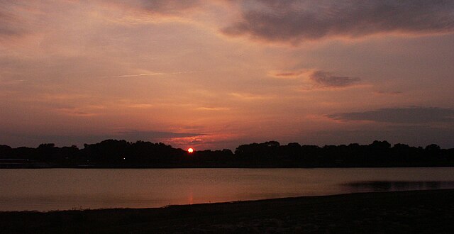
Lake Tawakoni is a 37,879-acre impoundment located in Van Zandt, Rains, and Hunt counties in Texas, approximately 50 miles east of Dallas. Created in 1960 when the Iron Bridge Dam was constructed on the South Fork and Cowleech Fork of the Sabine River, Lake Tawakoni serves primarily as a municipal water supply and recreational destination. The reservoir has a maximum depth of 70 feet with a conservation pool elevation of 437.5 feet mean sea level. Known for its high productivity, the lake is characterized by moderately stained water with considerable fluctuation of 3-9 feet. Lake Tawakoni has earned a reputation as one of the premier fishing destinations in East Texas, particularly for its excellent catfish, striper, and crappie fishing opportunities.
Species & education
Learn what type of fish are at Lake Tawakoni and what's needed to catch them.

Find which waters have the species you want to catch

Largemouth Bass
Micropterus salmoides

Smallmouth Bass
Micropterus dolomieu

Rainbow Trout
Oncorhynchus mykiss
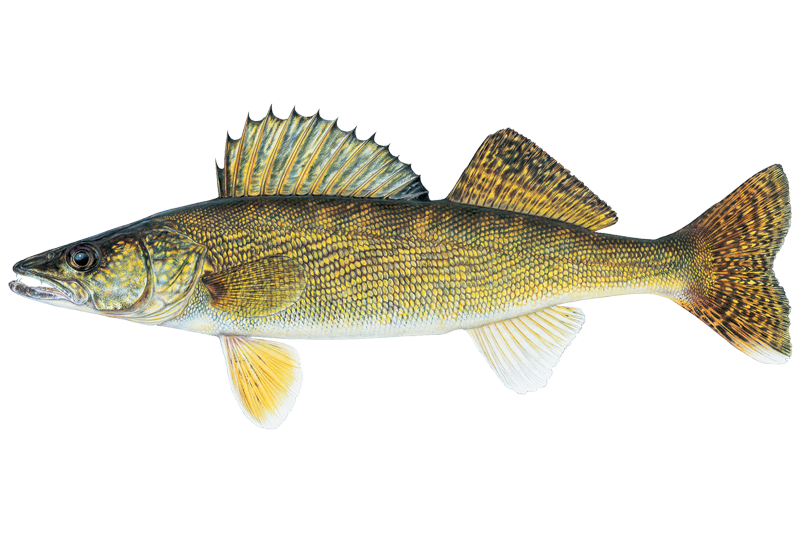
Walleye
Sander vitreus

Black Crappie
Pomoxis nigromaculatus
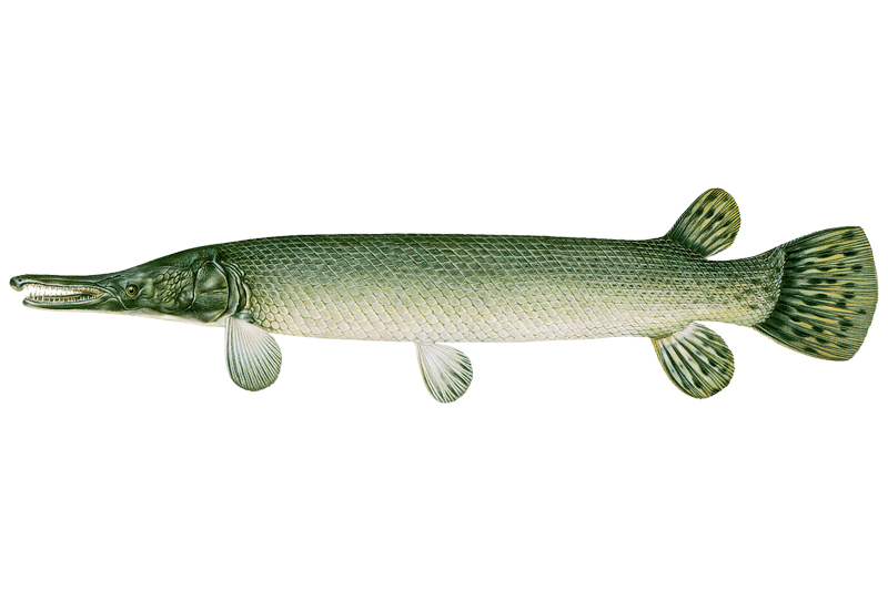
Alligator Gar
Atractosteus spatula
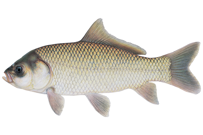
Bigmouth Buffalo
Ictiobus cyprinellus
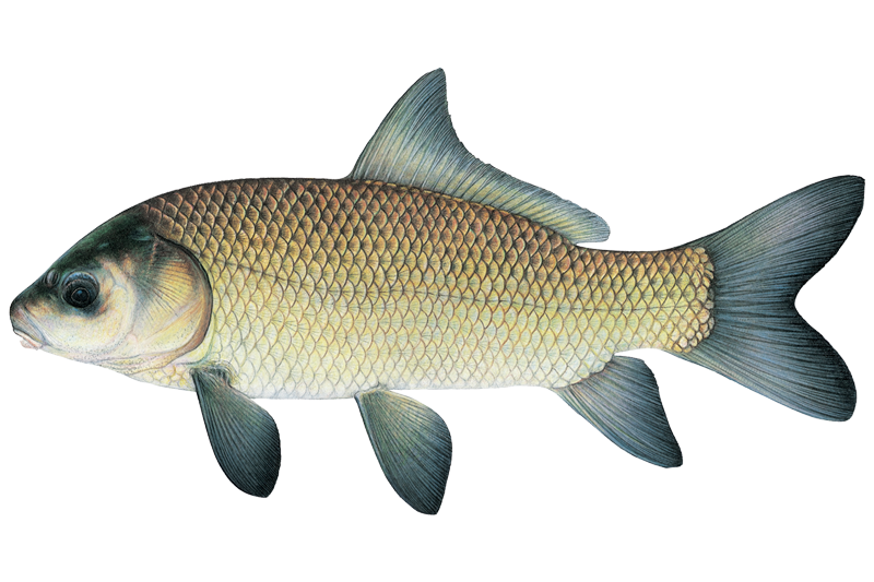
Black Buffalo
Ictiobus niger

Black Bullhead
Ameiurus melas

Blue Catfish
Ictalurus furcatus

Bluegill Sunfish
Lepomis macrochirus
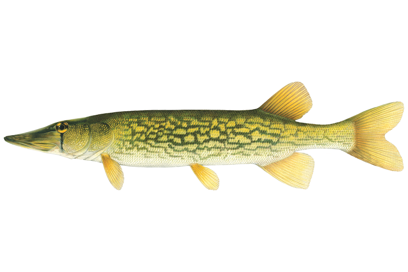
Chain Pickerel
Esox niger

Channel Catfish
Ictalurus punctatus

Common Carp
Cyprinus carpio

Flathead Catfish
Pylodictis olivaris
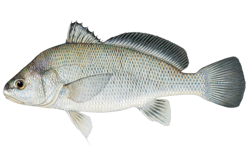
Freshwater Drum
Aplodinotus grunniens
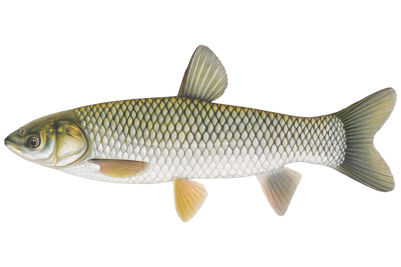
Grass Carp

Green Sunfish
Lepomis cyanellus

Longear Sunfish
Lepomis megalotis
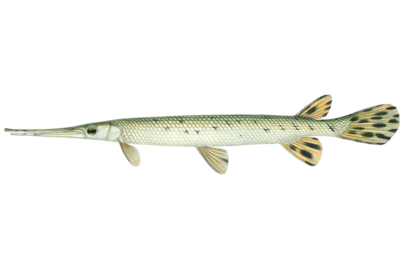
Longnose Gar
Lepisosteus osseus

Orangespotted Sunfish
Lepomis humilis
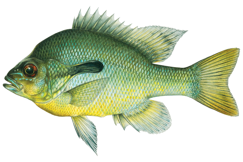
Redbreast Sunfish
Lepomis auritus
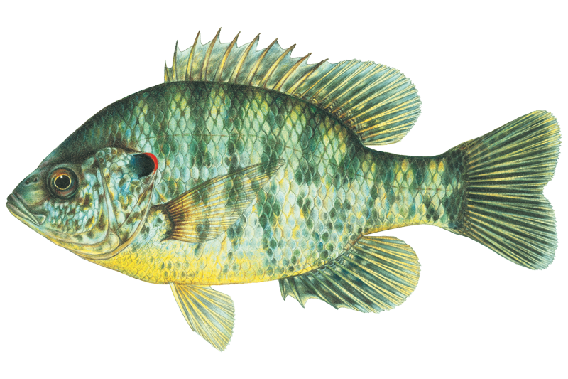
Redear Sunfish
Lepomis microlophus
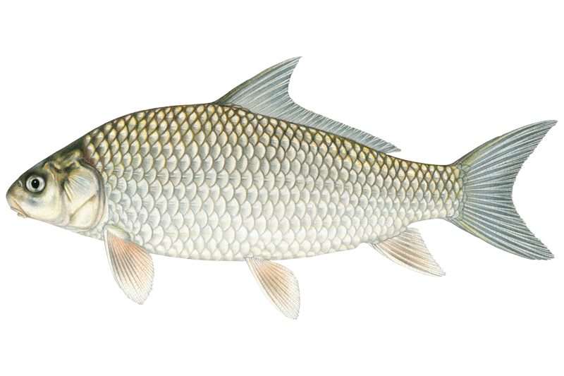
River Carpsucker
Carpiodes carpio
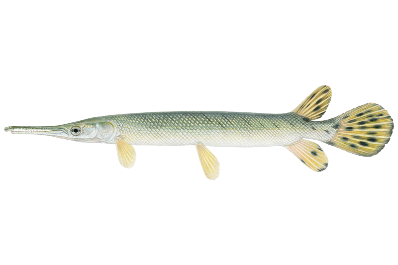
Shortnose Gar
Lepisosteus platostomus
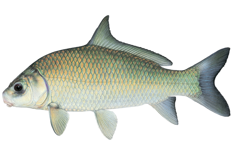
Smallmouth Buffalo
Ictiobus bubalus
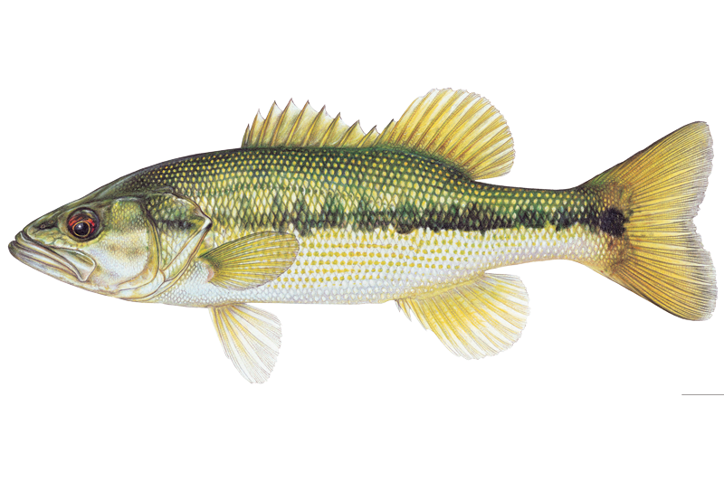
Spotted Bass
Micropterus punctulatus
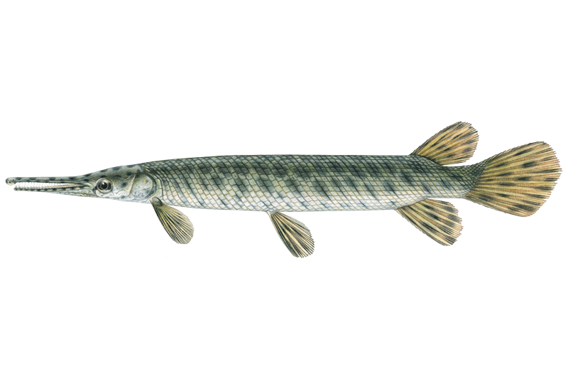
Spotted Gar
Lepisosteus oculatus
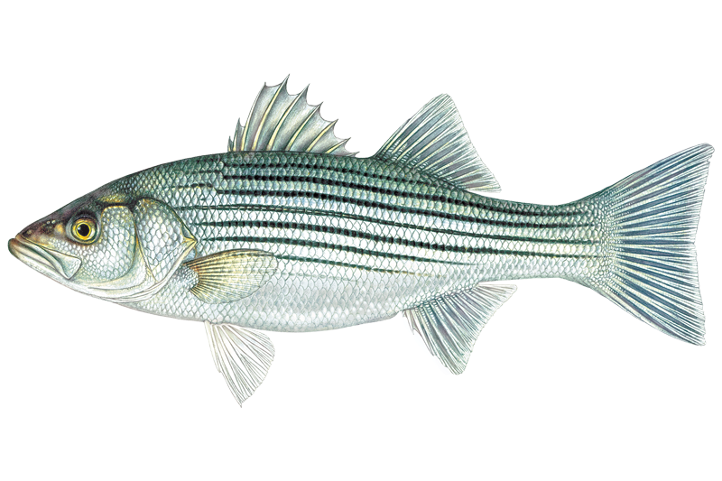
Striped Bass
Morone saxatilis
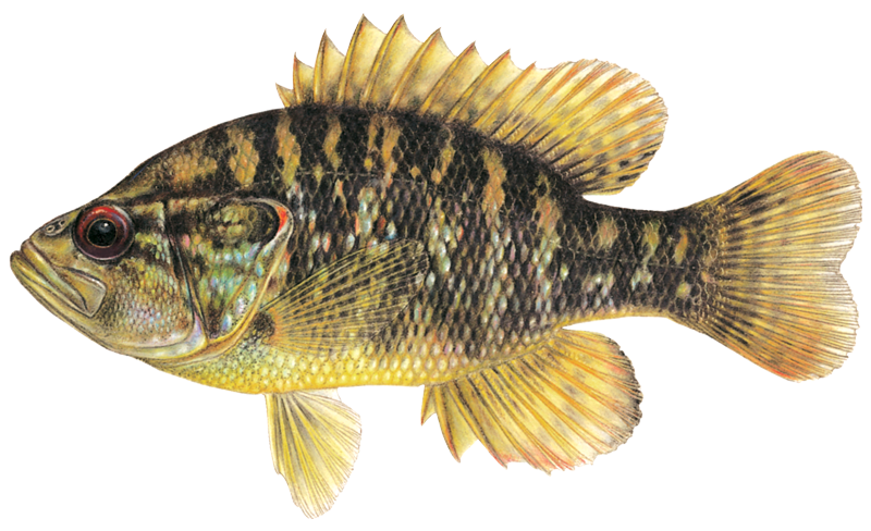
Warmouth Sunfish
Lepomis gulosus

White Bass
Morone chrysops
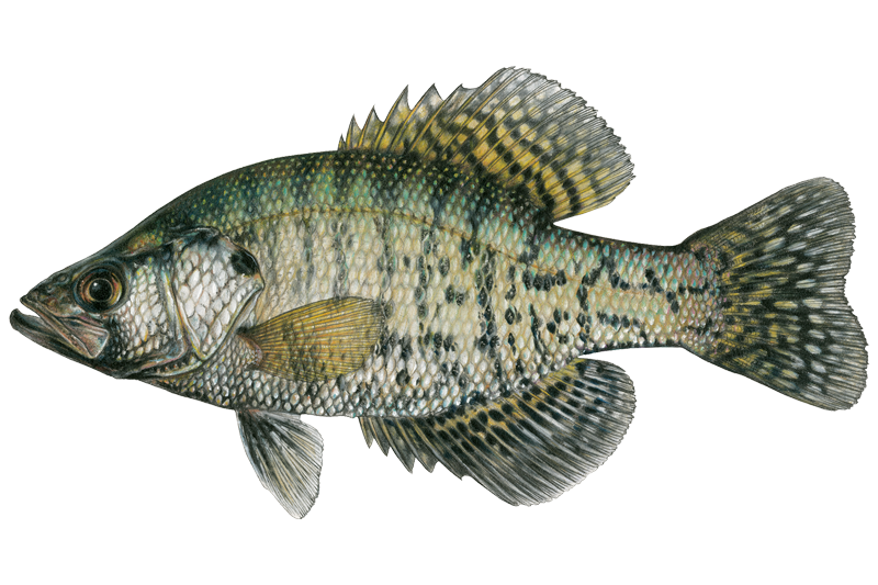
White Crappie
Pomoxis annularis

Yellow Bass
Morone mississippiensis

Yellow Bullhead
Ameiurus natalis
Fishing spots, boat ramps & amenities
Learn how to get on Lake Tawakoni. Uncover great fishing access points, boat ramps, and all the facilities you need for an unforgettable day on the water. Some locations shown may border or include private property. Always check property boundaries and applicable regulations before visiting. onWater's Public & Private Land layer can help you plan your access with confidence.
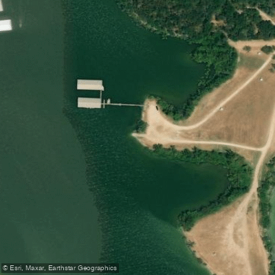
Lake Tawakoni Boat Ramp
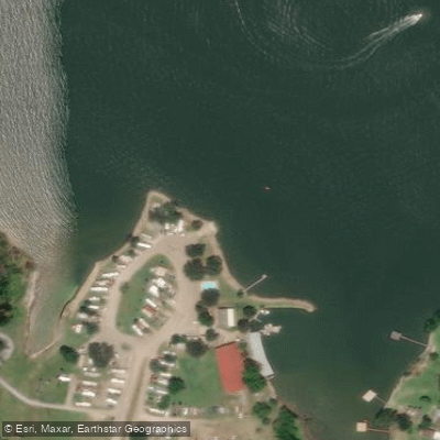
Lake Tawakoni Boat Ramp
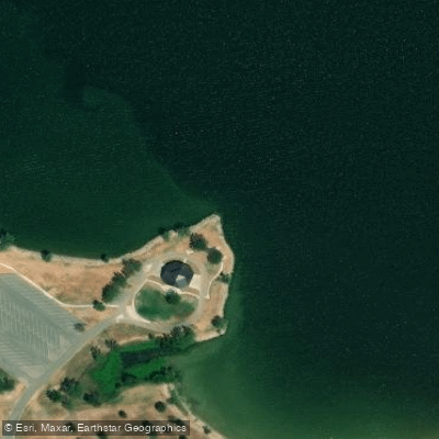
Lake Tawakoni Boat Ramp
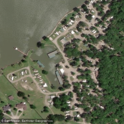
Lake Tawakoni Boat Ramp
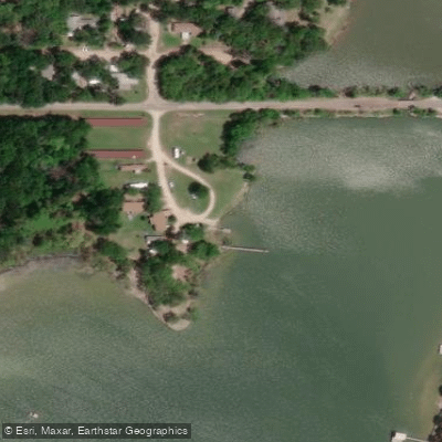
Lake Tawakoni Boat Ramp
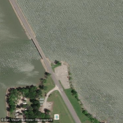
Lake Tawakoni Boat Ramp
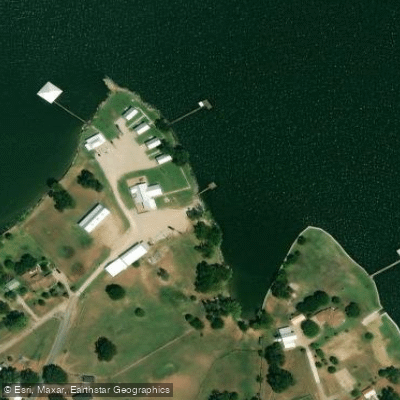
Open Water Lodge and Cabins Boat Ramp
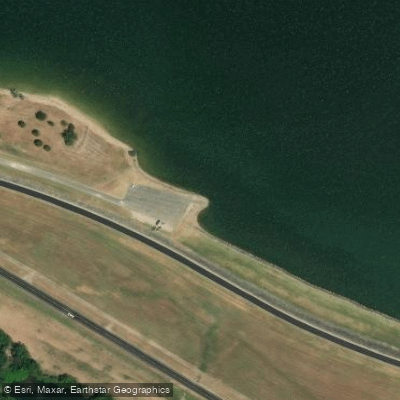
Lake Tawakoni Boat Ramp
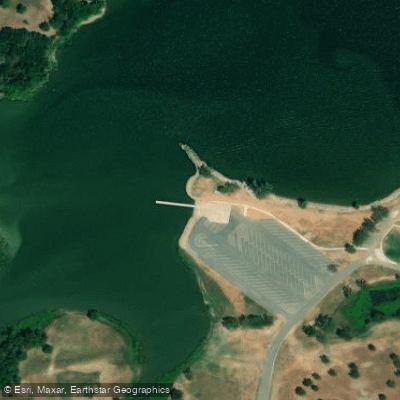
Lake Tawakoni Boat Ramp
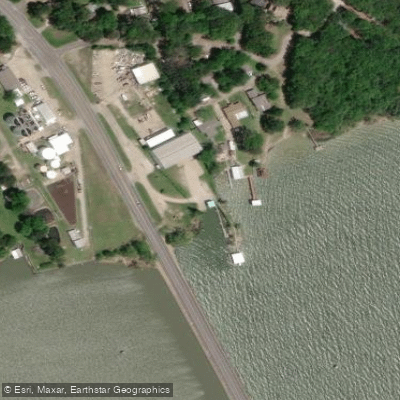
Goody's Marina Boat Ramp
Know where you can legally fish on Lake Tawakoni
See public and private land boundaries along the water, turn on private parcels with owner details to know where permission is required, and find land-trust parcels that offer permitted fishing access.
Texas licenses and regulations

Texas Boating Regulations
When using any type of watercraft to access a body of water, it is important to follow all federal, state, and local rules and regulations. These rules and regulations include boat permitting and licensing, invasive species inspections and stamps, life jacket and PFD rules, motor size and horsepower restrictions, noise limitations, restrictions on personal watercraft, and many more. Visit the web link below for the most current rules and regulations for this body of water.

Texas Fishing License
All residents and visitors over the age of 17 require a Texas fishing license to reel in fish, mussels, clams, and crayfish across the state. In addition, you’ll need specific tags or endorsements based on the size of the catch and its location.

Texas Fishing Regulations
This river has a variety of species and regulations, including potential floating and/or watercraft restrictions. Because this river is specially managed for species, seasons, angling methods, and watercraft, it is strongly encouraged you check all federal, state, and local regulations before fishing. Visit any of the links below, inquire locally, or contact a local fly shop to learn current regulations and restrictions.

Texas Stream Access Laws
Access must usually be obtained through the use of public property. The typical access may be from the right of way of a public road that crosses the stream, through a publicly owned boat launch area, or from some other public land (a park, for example) adjacent to the stream. There is no general right to cross private property to get to a navigable stream. There are a number of privately owned parks or campgrounds where members of the public may have access to a navigable stream by paying a small fee to the landowner. If the private landowner forbids access, an attempt to use the private land would be a trespass. Texas courts have recognized that a member of the public may engage in a variety of lawful activities along a navigable stream. Besides boating, persons may swim, float, walk, wade, picnic, camp, and (with a license) fish. Public use must be confined to the stream bed and, to a limited extent, the banks. State law prohibits parking on a highway bridge and generally forbids (with certain exceptions) parking in the main traveled part of a highway. Within a public road’s right of way, private fencing that restricts public passage to the stream is illegal.
Take Lake Tawakoni with you
The onWater Fish app keeps this water's access points, species and conditions in your pocket, with the tools you use once you're there.
Use the map without signal
Download the map around Lake Tawakoni to use it offline when coverage drops.
Log your catches here
Keep a private fishing journal for Lake Tawakoni to find where and when fish are biting for you.
HD depth charts from Garmin
Find drop offs, ledges, channels, points and shallow flats with Garmin depth charts in the app.
Get the onWater Fish app
Free on iOS and Android
Water and weather conditions (10 day forecast)
See the best times to fish Lake Tawakoni and check the forecast before you go.
Sabine Rv nr Wills Point, TX
Lake Tawakoni fishing guides
Book a trip with a local fishing guide through Guidesly.

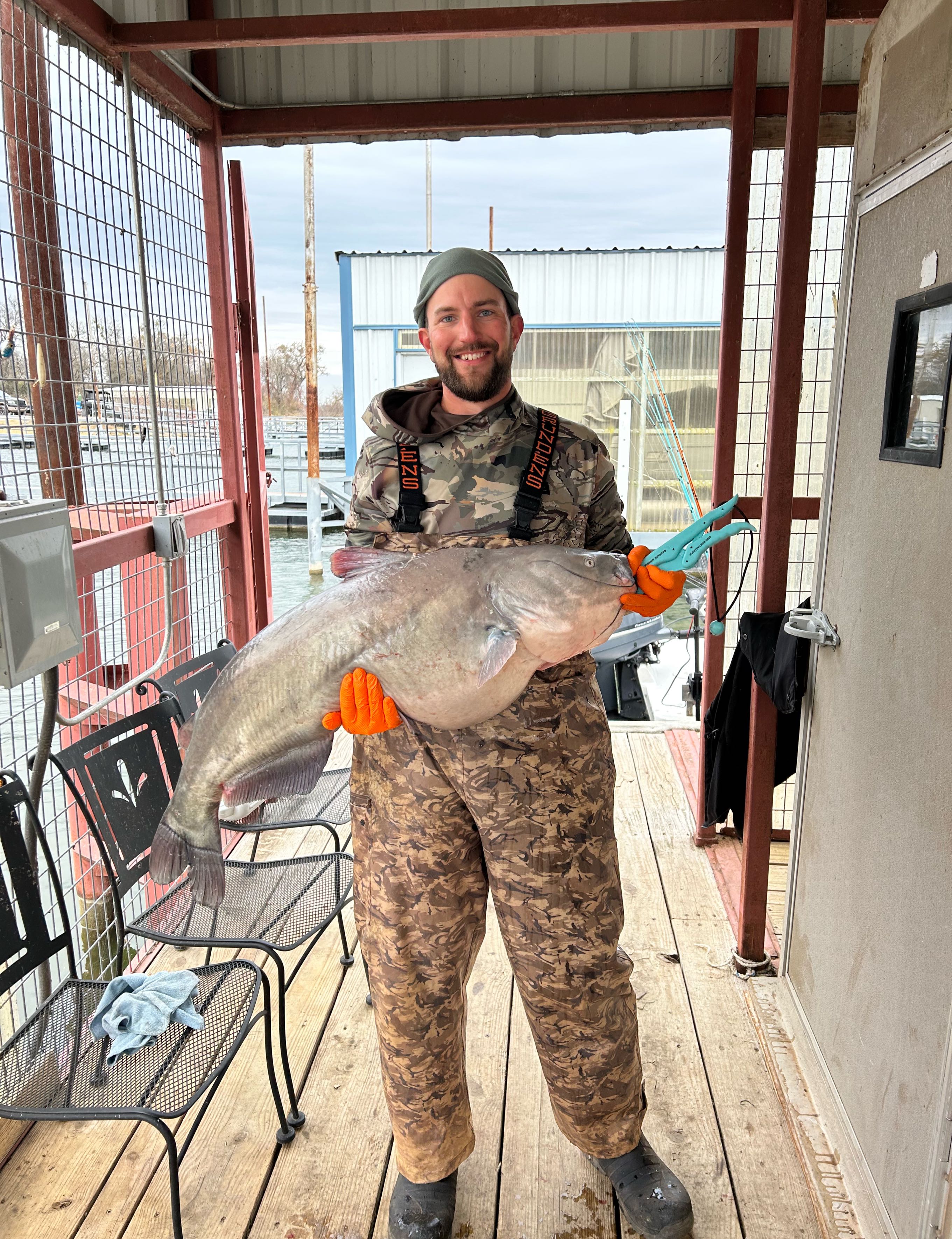
Troy Ellefson
Troy's Guide Service
5.0 (34 reviews)
Lake Texoma's Top Bass fishing with Captain Troy
Book on Guidesly, opens in new tab
Chris Whitaker
Guided Hand Fishing East Texas
5.0 (1 review)
Texas Catfish Fishing: An Underwater Adventure!
Book on Guidesly, opens in new tab
Captain Jack
Alba Anglers Guide Services
Private Lake Fork fishing trips today
Book on Guidesly, opens in new tab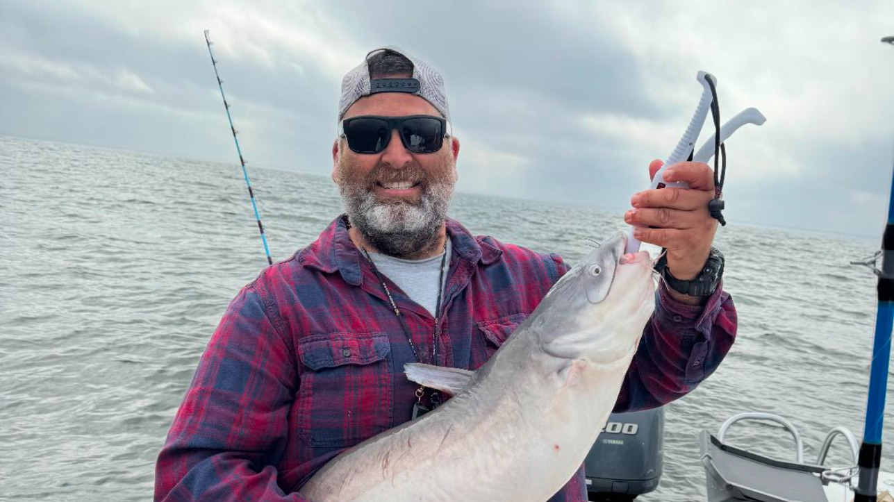
Brett Kilmer
Chums On The Water
Lake Tawakoni Catfish & Striper Fishing Guide
Book on Guidesly, opens in new tab
Curtis Keller
Crappie Curtis Guide Service
Top Lake Fork Crappie Fishing Guide! Book Now!
Book on Guidesly, opens in new tab
Eric Reed
Hook “N” Reel Fishing Guide
Discover the top fishing guides at Lake Tawakoni
Book on Guidesly, opens in new tab
Fishing near Lake Tawakoni
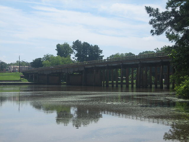
Sabine River
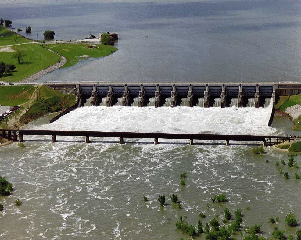
Lavon Lake

Red River
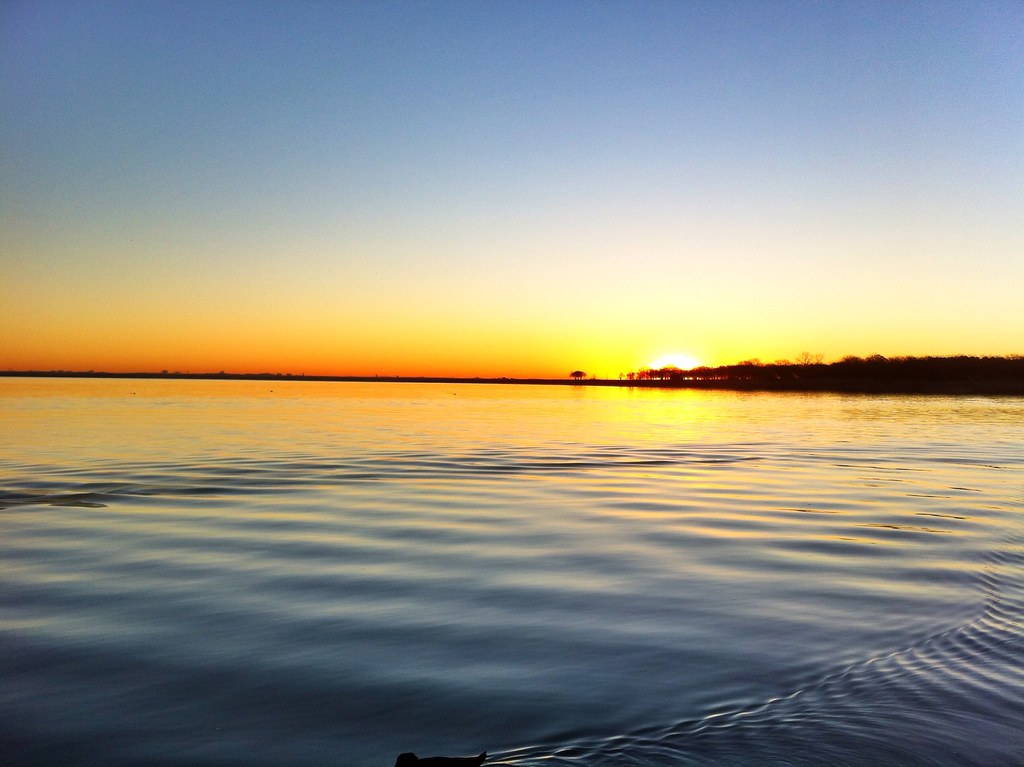
Lake Lewisville
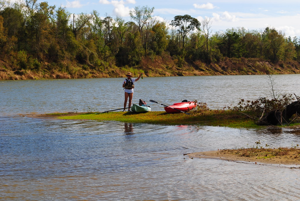
Trinity River
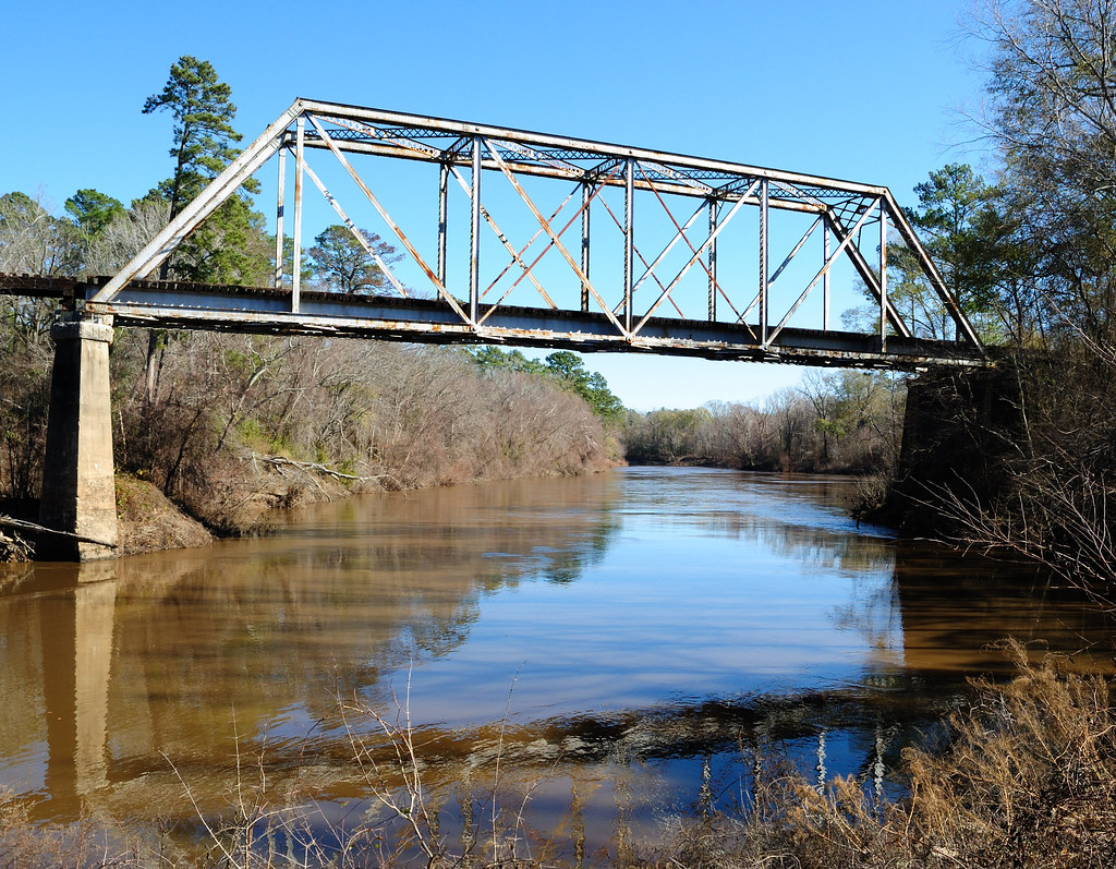
Neches River
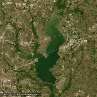
Corder Lake
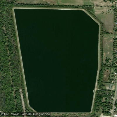
Greenville Reservoir Number Five
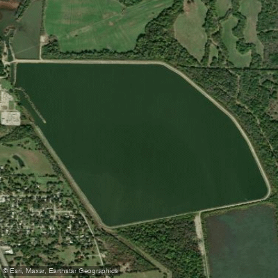
Greenville Reservoir Number Six
Explore Texas waters
Top fishing waters
Popular Cities
Loading popular cities...
Explore near Lake Tawakoni
Fish species
Fishing spots
- Lake Tawakoni Boat Ramp
- Lake Tawakoni Boat Ramp
- Lake Tawakoni Boat Ramp
- Lake Tawakoni Boat Ramp
- Lake Tawakoni Boat Ramp
- Lake Tawakoni Boat Ramp
- Open Water Lodge and Cabins Boat Ramp
- Lake Tawakoni Boat Ramp
- Lake Tawakoni Boat Ramp
- Goody's Marina Boat Ramp
- Lake Tawakoni Boat Ramp
- 2-Mile East Public Boat Ramp
- All 26 spots
Nearby waters
More in Texas

Smarter Fishing Starts in the App.
onWater Fish gives you everything you need to plan smarter, fish better, and own every trip from first cast to last.