Fishing in Wood Buffalo National Park
- National Park
- Lakes
- 130
- Rivers
- 66
- Access
- 0
- Boat Ramps
- 0
- Shops
- 0
- Species
- 15
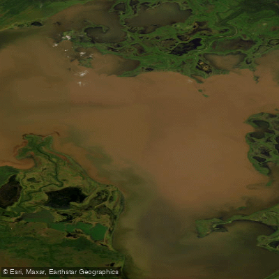
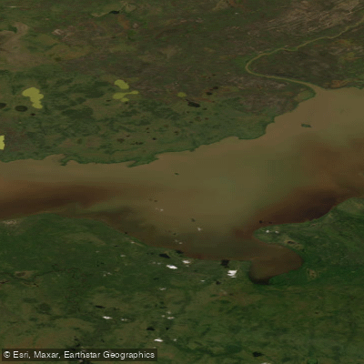
Wood Buffalo sits across the Alberta–Northwest Territories border, covering roughly 44,807 square kilometres of boreal forest, salt plains, and the world's largest inland delta — where the Athabasca and Peace Rivers converge before draining north toward Great Slave Lake.
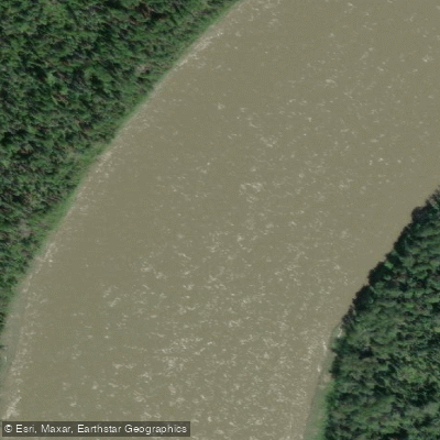
The park's water is big, remote, and in many places silty. That last detail matters: the main rivers here are turbid systems, and fishing them requires adjusting expectations accordingly.
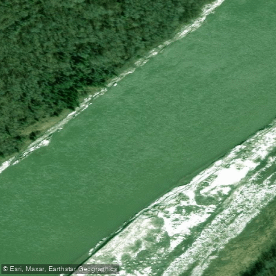
The rivers that anchor the fishing are the Slave, Salt, Peace, Athabasca, Rivière des Rochers, and Chenal des Quatre Fourches. These are the waters Parks Canada points to directly.
Northern pike, walleye, whitefish, and goldeye move through all of them, though the silty conditions make reading the water harder than on clearer northern rivers.
The Salt River, draining through the park's salt plains, has a different character than the main stem rivers and is worth targeting on its own terms. Not every body of water inside the park holds fish.
The sinkhole lakes — Pine Lake among them — lack inflow and outflow channels and are not suitable for fishing. Many of the shallow, saline interior lakes are similarly poor habitat.
The park is large enough that it's worth knowing which waters are worth the effort before you go. The season runs from Victoria Day in May through October 15.
A Parks Canada fishing permit is required — a provincial or territorial licence does not cover park waters. Pick one up at the Visitor Centre in Fort Smith or Fort Chipewyan, or call 867-872-7960 before you travel.
On some rivers and waterways, motorized watercraft used for recreational fishing requires separate authorization. The use of live or dead fish as bait is prohibited in Wood Buffalo under the National Parks of Canada Fishing Regulations, as are dead fish eggs.
Check current rules with the park directly before rigging up. Fort Chipewyan is accessible only by air or water, which shapes what fishing there is realistic to plan. Fort Smith, the park's headquarters, connects via the Mackenzie Highway.
The park sees fewer than 4,000 visitors in a typical year — the logistics are real, but so is the solitude.
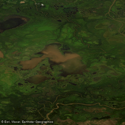
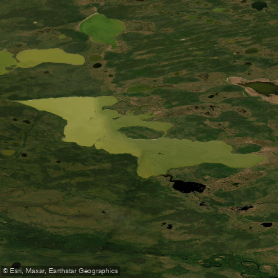
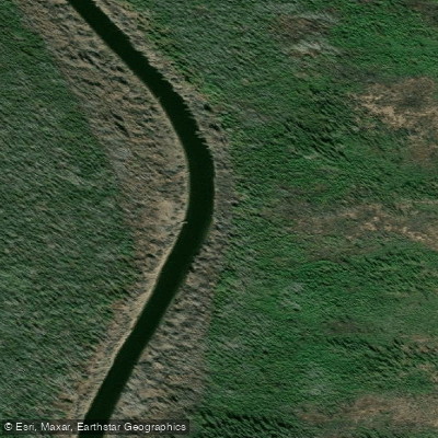
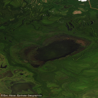
Top waters to fish near Wood Buffalo National Park
Species & education
Learn what type of fish are in Wood Buffalo National Park and what's needed to catch them.

Find which waters have the species you want to catch

Artic Grayling
Thymallus arcticus

Arctic Grayling
Thymallus arcticus

Brook Trout
Salvelinus fontinalis

Bull Trout
Salvelinus confluentus

Burbot
Lota lota

Flathead Chub

Goldeye

Lake Whitefish
Coregonus clupeaformis

Longnose Sucker
Catostomus catostomus

Mountain Whitefish
Prosopium williamsoni

Ninespine Stickleback

Northern Pike
Esox lucius

Pearl Dace
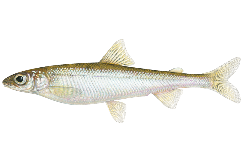
Pygmy Whitefish
Prosopium coulterii

Rainbow Trout
Oncorhynchus mykiss
Water and weather conditions (10 day forecast)
See the best times to fish Wood Buffalo National Park and check the forecast before you go.
No forecast data available.
Fish smarter with real-time insights
Whether you're en route and conditions shift or you're looking for the best spot based on current flows, we enable you to make informed decisions on the fly.




Fishing near Wood Buffalo National Park
Loading...
Gateway towns
Where to base yourself for fishing in Wood Buffalo National Park.
- Fort SmithNT
Primary gateway with the main Parks Canada visitor centre, park permits, lodging, and direct road access into the park.
- Fort ChipewyanAB
Southern gateway community with a Parks Canada satellite office, serving visitors approaching from the Alberta side of the park.
Explore Wood Buffalo National Park
Top fishing waters
Popular Cities
Loading popular cities...

Smarter Fishing Starts in the App.
onWater Fish gives you everything you need to plan smarter, fish better, and own every trip from first cast to last.