Mamawi Lake
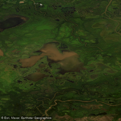
Mamawi Lake
- Boat Ramps
- 0
- Access Points
- 0
- Species
- 0
Mamawi Lake sits within the remarkable Peace-Athabasca Delta in northern Alberta, Canada, at approximately 58°38'N, 111°28'W — one of the world's largest freshwater deltas and a UNESCO World Heritage Site within Wood Buffalo National Park. This shallow, expansive lake is intimately connected to the broader Claire-Mamawi lakes system, linked by a network of channels, wetlands, and floodplains that define the ecological character of the entire delta. With a maximum depth of only 1.5 metres, Mamawi is an exceptionally shallow water body, and this physical characteristic shapes nearly every aspect of its ecology, fishery, and seasonal dynamics. The lake functions as critical spawning and feeding habitat within a vast and ecologically significant wetland system, drawing fish species that migrate through the delta's interconnected waterways.
Species & education
Learn what type of fish are at Mamawi Lake and what's needed to catch them.
No species information available.
Fishing spots, boat ramps & amenities
Learn how to get on Mamawi Lake. Uncover great fishing access points, boat ramps, and all the facilities you need for an unforgettable day on the water. Some locations shown may border or include private property. Always check property boundaries and applicable regulations before visiting. onWater's Public & Private Land layer can help you plan your access with confidence.
The Claire-Mamawi lakes system is assessed at 10 established monitoring sites, reflecting the broad distribution of fish throughout the interconnected lake and channel network. The channels connecting Mamawi Lake to the broader delta system — including the Chenal des Quatre Fourches and associated waterways — are important movement corridors for goldeye, northern pike, lake whitefish, and walleye, and represent productive fishing areas as fish move between the lake and the larger Peace and Athabasca river systems. The shallow margins and channel mouths where water flows into and out of Mamawi are natural concentration points for fish, particularly during the spring migration of goldeye into the system.
Know where you can legally fish on Mamawi Lake
See public and private land boundaries along the water, turn on private parcels with owner details to know where permission is required, and find land-trust parcels that offer permitted fishing access.
Ab licenses and regulations
No licenses or regulations available for Ab.
Take Mamawi Lake with you
The onWater Fish app keeps this water's access points, species and conditions in your pocket, with the tools you use once you're there.
Use the map without signal
Download the map around Mamawi Lake to use it offline when coverage drops.
Log your catches here
Keep a private fishing journal for Mamawi Lake to find where and when fish are biting for you.
HD depth charts from Garmin
Find drop offs, ledges, channels, points and shallow flats with Garmin depth charts in the app.
Get the onWater Fish app
Free on iOS and Android
Water and weather conditions (10 day forecast)
See the best times to fish Mamawi Lake and check the forecast before you go.
No forecast data available.
Fishing near Mamawi Lake
Slave River
Salt River
Tethul River
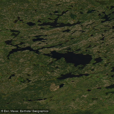
Schaefer Lakes
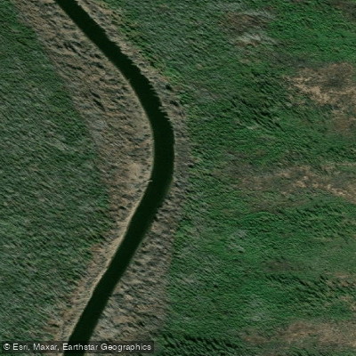
Little Buffalo River
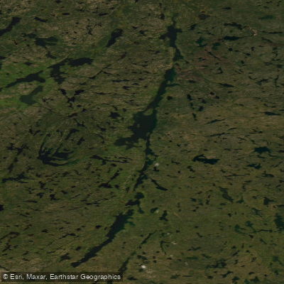
Leland Lakes
Taltson River
Pilot Lake
Telklini Lake
Bocquene River
Explore Ab waters
Top fishing waters
No waters available right now.
Popular Cities
Loading popular cities...
Explore near Mamawi Lake

Smarter Fishing Starts in the App.
onWater Fish gives you everything you need to plan smarter, fish better, and own every trip from first cast to last.