Athabasca River
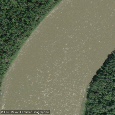
Athabasca River
- Boat Ramps
- 3
- Access Points
- 0
- Species
- 20
The Athabasca River is one of Alberta's most remarkable and diverse fisheries, stretching an extraordinary 1,231 kilometres from its glacial origins in Jasper National Park all the way north to the Peace-Athabasca Delta near Lake Athabasca. Born at the toe of the Athabasca Glacier in the Columbia Icefield — nestled between Mount Columbia, Snow Dome, and the Sir Winston Churchill Range at an elevation of approximately 1,600 metres — this river is a true glacially-fed freestone system that transitions dramatically in character as it descends from the Rocky Mountains through boreal forest and into the northern lowlands. Along its course, it flows through or adjacent to Jasper National Park, Fort Assiniboine Sandhills Wildland Provincial Park, Hubert Lake Wildland Provincial Park, La Biche River Wildland Provincial Park, Grand Rapids Wildland Provincial Park, Richardson River Dunes Wildland Provincial Park, and Wood Buffalo National Park. The upper reaches near Jasper have been designated a Canadian Heritage River, while the lower 300 kilometres — from the Fort McMurray region to Lake Athabasca — support an astonishing 31 of Alberta's 59 fish species and form part of one of the world's largest freshwater deltas. The river's cumulative drainage area spans 95,300 square kilometres, and its waters ultimately reach the Arctic Ocean via the Slave and Mackenzie River systems. Whether you're chasing trophy northern pike and walleye in the mid-river reaches or exploring the diverse fishery of the lower river, the Athabasca offers a truly world-class angling experience in a setting of pristine boreal wilderness.
Species & education
Learn what type of fish are at Athabasca River and what's needed to catch them.

Find which waters have the species you want to catch

Arctic Grayling
Thymallus arcticus

Brook Trout
Salvelinus fontinalis

Bull Trout
Salvelinus confluentus

Burbot
Lota lota

Flathead Chub

Goldeye

Lake Whitefish
Coregonus clupeaformis

Longnose Sucker
Catostomus catostomus

Mountain Whitefish
Prosopium williamsoni

Ninespine Stickleback

Northern Pike
Esox lucius

Pearl Dace
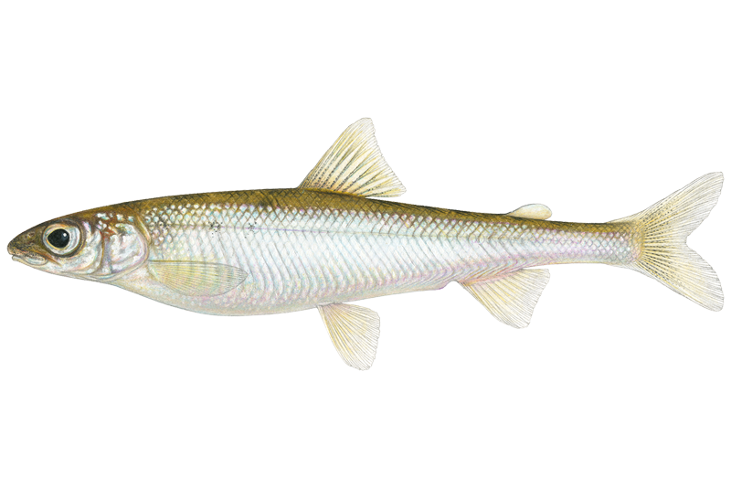
Pygmy Whitefish
Prosopium coulterii

Rainbow Trout
Oncorhynchus mykiss

River Shiner

Round Whitefish

Spottail Shiner

Walleye
Sander vitreus

White Sucker
Catostomus commersonii

Yellow Perch
Perca flavescens
Fishing spots, boat ramps & amenities
Learn how to get on Athabasca River. Uncover great fishing access points, boat ramps, and all the facilities you need for an unforgettable day on the water. Some locations shown may border or include private property. Always check property boundaries and applicable regulations before visiting. onWater's Public & Private Land layer can help you plan your access with confidence.
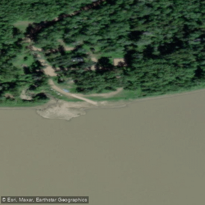
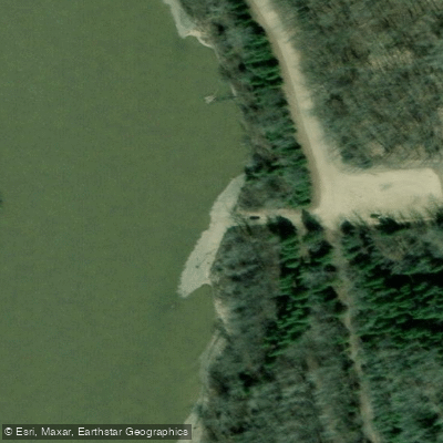
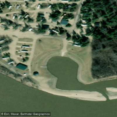
Know where you can legally fish on Athabasca River
See public and private land boundaries along the water, turn on private parcels with owner details to know where permission is required, and find land-trust parcels that offer permitted fishing access.
Ab licenses and regulations
No licenses or regulations available for Ab.
Take Athabasca River with you
The onWater Fish app keeps this water's access points, species and conditions in your pocket, with the tools you use once you're there.
Use the map without signal
Download the map around Athabasca River to use it offline when coverage drops.
Log your catches here
Keep a private fishing journal for Athabasca River to find where and when fish are biting for you.
Get the onWater Fish app
Free on iOS and Android
Water and weather conditions (10 day forecast)
See the best times to fish Athabasca River and check the forecast before you go.
ATHABASCA RIVER NEAR JASPER
All Flow Stations
Fishing near Athabasca River
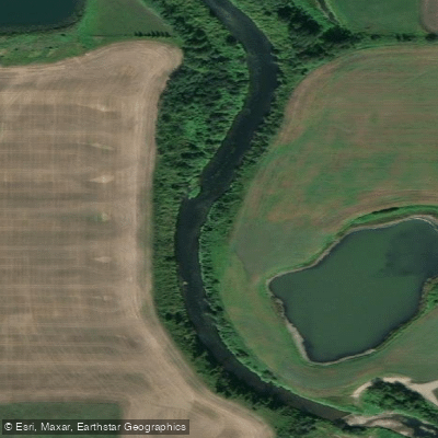
Sturgeon River
North Saskatchewan River
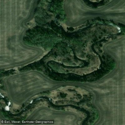
Whitemud Creek
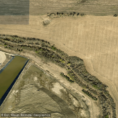
Fulton Creek
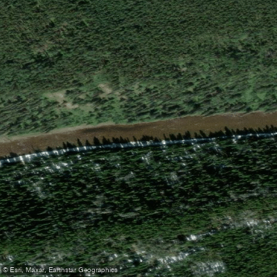
Pembina River
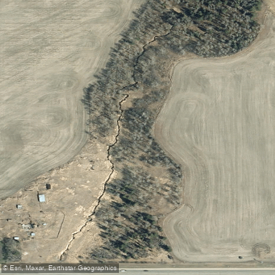
Atim Creek
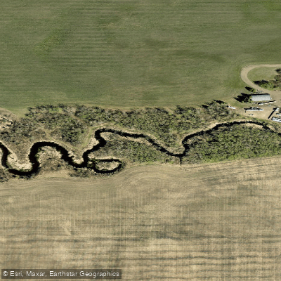
Pointe-aux-Pins Creek
Blackmud Creek
Redwater River
Kilini Creek
Explore Ab waters
Top fishing waters
No waters available right now.
Popular Cities
Loading popular cities...
Explore near Athabasca River
Fish species
Fishing spots
Nearby waters
More in Ab

Smarter Fishing Starts in the App.
onWater Fish gives you everything you need to plan smarter, fish better, and own every trip from first cast to last.