Canadian River

Boat Ramps
3
Access Points
4
Species
38

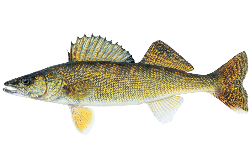
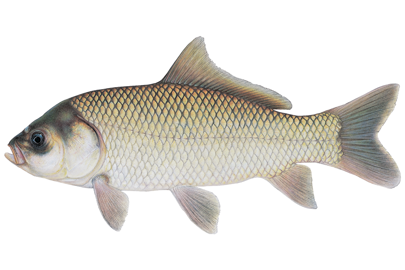
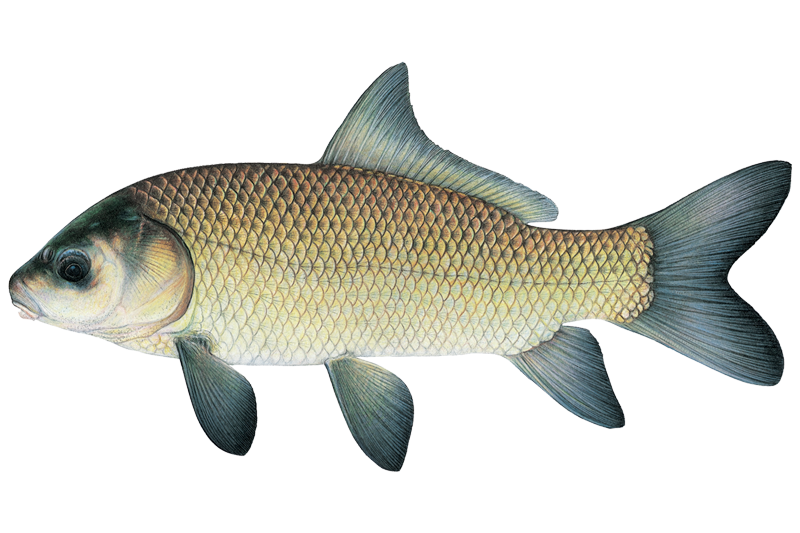
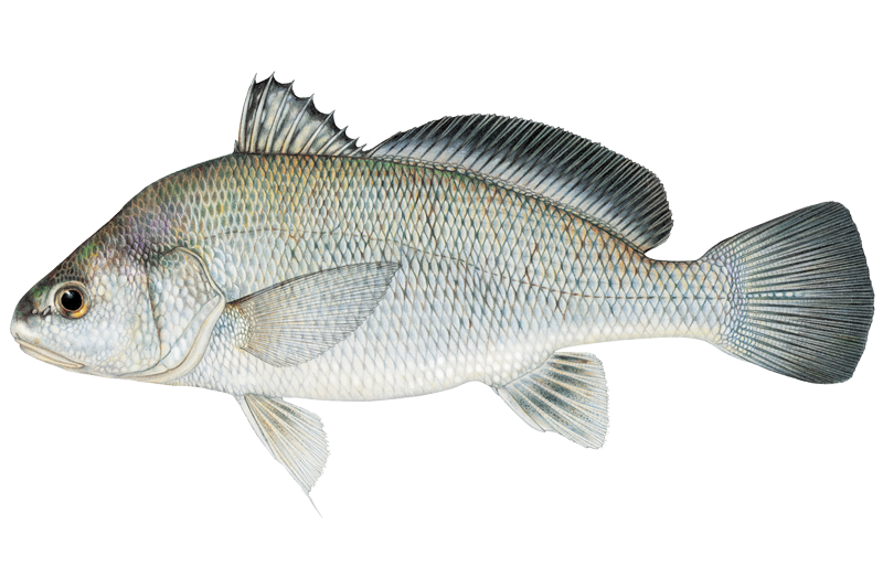
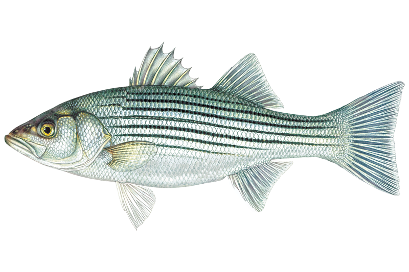
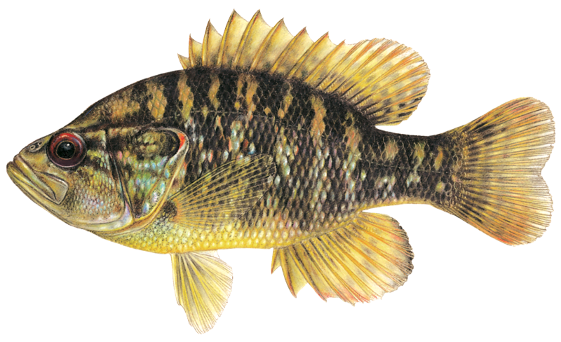
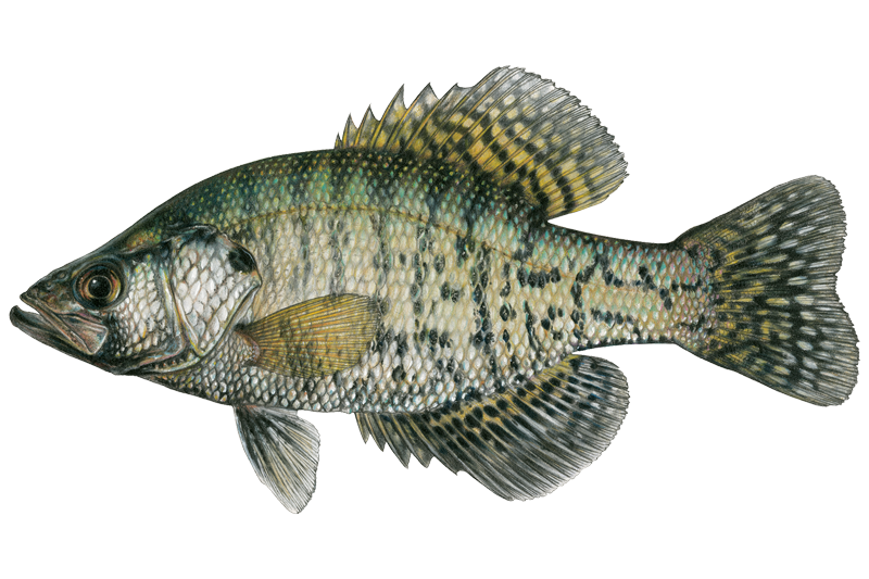
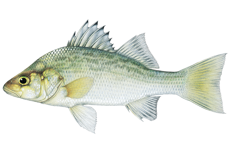
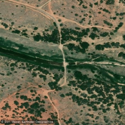
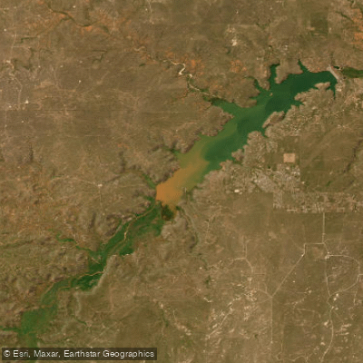
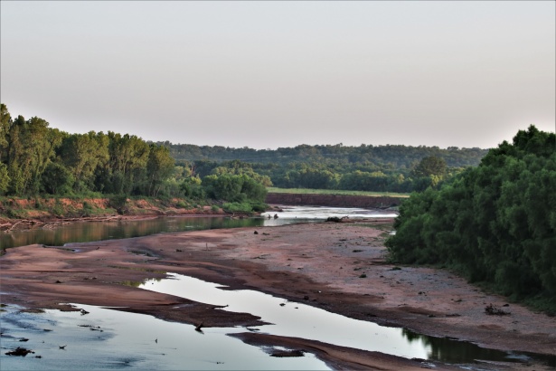
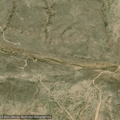
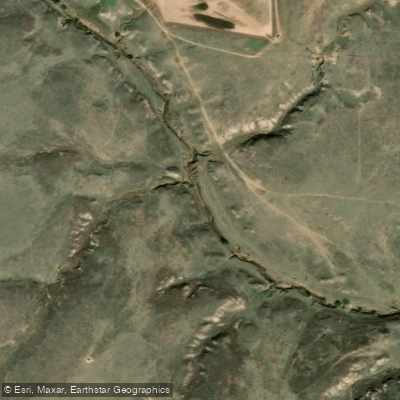
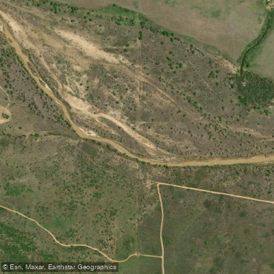
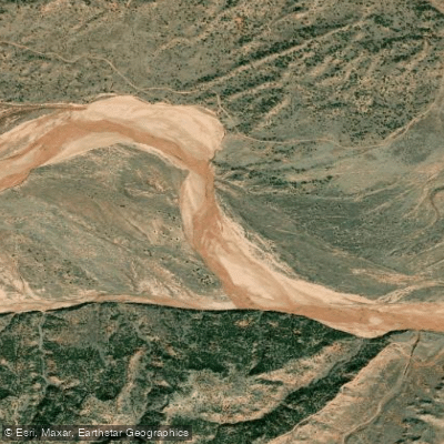
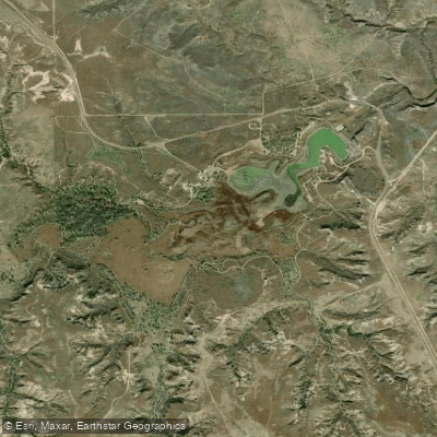
The Canadian River stands as one of the Great Plains' most significant waterways, carving a 906-mile path from its headwaters in the Sangre de Cristo Mountains of southern Colorado through New Mexico, the Texas Panhandle, and Oklahoma before joining the Arkansas River. This longest tributary of the Arkansas River begins at elevations exceeding 8,000 feet, where snowmelt feeds pristine mountain streams flowing through pine forests and alpine meadows, then gradually transforms as it descends across the arid grasslands of the Great Plains. Along its journey, the river carves dramatic topography including steep bluffs, dune terraces, and rocky canyons, creating diverse habitat for both native and sport fish species. The Canadian River system supports populations of brown and brook trout in its uppermost Colorado reaches, transitions to warmwater species throughout its middle sections, and provides habitat for white bass, striped bass, channel catfish, blue catfish, flathead catfish, and various sunfish species in its lower Oklahoma reaches. Much of the river remains in private ownership with limited public access, though several public fishing areas, wildlife management areas, and state parks provide angling opportunities along strategic sections. Water conditions vary dramatically across the river's length and between seasons, from clear mountain streams to sandy-bottomed prairie flows that can range from intermittent trickles during drought to powerful floods following heavy rains.
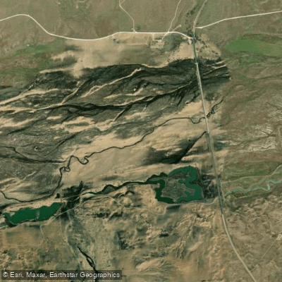

Fishing spots, boat ramps & amenities

Learn how to get on Canadian River. Uncover great fishing access points, boat ramps, and all the facilities you need for an unforgettable day on the water. Some locations shown may border or include private property. Always check property boundaries and applicable regulations before visiting. onWater's Public & Private Land layer can help you plan your access with confidence.

Know where you can legally fish on Canadian River

See public and private land boundaries along the water, turn on private parcels with owner details to know where permission is required, and find land-trust parcels that offer permitted fishing access.

Take Canadian River with you

The onWater Fish app keeps this water's access points, species and conditions in your pocket, with the tools you use once you're there.

  • Use the map without signal

    Download the map around Canadian River to use it offline when coverage drops.

  • Log your catches here

    Keep a private fishing journal for Canadian River to find where and when fish are biting for you.

Get the onWater Fish app

Free on iOS and Android

Water and weather conditions (10 day forecast)

See the best times to fish Canadian River and check the forecast before you go.

CANADIAN RIVER NEAR TAYLOR SPRINGS, NM

Loading flow chart…
Latest
10 yr average

All Flow Stations


Dam releases

Scheduled releases and generation forecasts from the dams on Canadian River.

Eufaula Dam

Canadian River · Below Eufaula Dam · Southwestern Power Administration

Generating tomorrow 6:00 AM CST to 9:00 AM CST, up to 86 MW

Next 48 hours

Tomorrow
6:00 AM CST to 9:00 AM CST
up to 86 MW
Tomorrow
4:00 PM CST to 6:00 PM CST
up to 86 MW
Southwestern Power Administration on energy.gov

Forecast updated today at 4:23 PM CST. Schedules can change, so check the operator's page before you go.

Canadian River fishing guides

Book a trip with a local fishing guide through Guidesly.

Powered byGuidesly

Smarter Fishing Starts in the App.

onWater Fish gives you everything you need to plan smarter, fish better, and own every trip from first cast to last.