Fishing in Amistad National Recreation Area
- National Recreation Area
- Open 24 hours
- Lakes
- 2
- Rivers
- 13
- Access
- 3
- Boat Ramps
- 17
- Shops
- 0
- Species
- 15
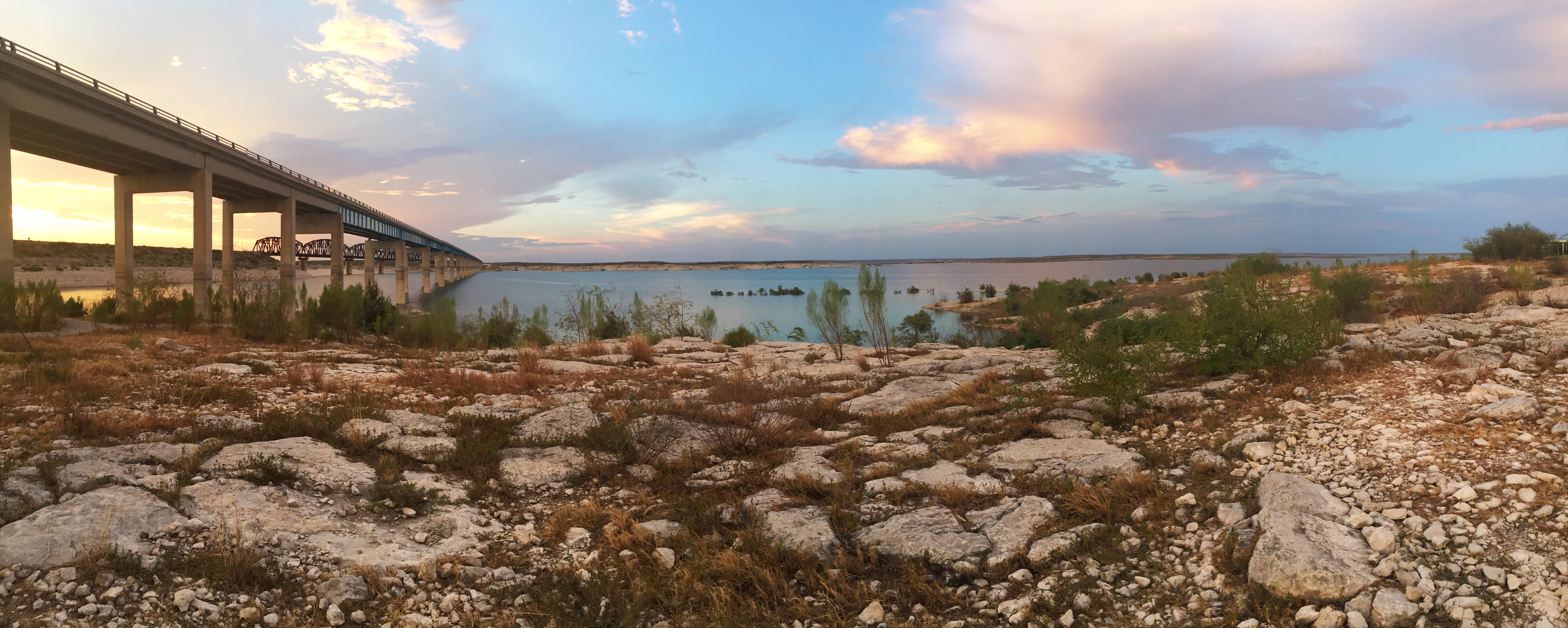
Amistad Reservoir sits on the Rio Grande about 12 miles northwest of Del Rio, where the Devils River and Pecos River feed into it from the north.
The dam, completed in 1969, created a reservoir that stretches 64,900 surface acres at full pool, with 540 miles of Texas shoreline and a maximum depth of 217 feet. The National Park Service manages the U. S.
side, and the water straddles the international border with Mexico. Before anything else: check the lake level before you trailer a boat out here.
Full pool sits at 1,117 feet above sea level, and Amistad has been well below that for years — a record low of 1,047. 15 feet was set in July 2024, leaving many ramps closed and the reservoir at roughly a quarter of capacity. The fish are still there.
Getting a boat on the water is the variable. When you can launch, this is a rock fishery. Steep ledges, hard drop-offs, rocky points, and submerged structure define the lake.
Aquatic vegetation — primarily hydrilla — is present but limited, covering a fraction of what it did in earlier surveys. Largemouth bass are the most abundant target species, with Florida-strain stocking supporting the population.
Striped bass, white bass, and channel and blue catfish round out what draws anglers here. The water runs clear to slightly stained, which rewards finesse presentations and rewards anglers who can read rock structure.
The park extends up three arms beyond the main reservoir body: 81 miles up the Rio Grande, 25 miles up the Devils River, and 14 miles up the Pecos River. Shore fishing is permitted anywhere outside harbors and designated swim areas.
A courtesy fishing dock at Rough Canyon is accessible by boat only. On the regulatory side: Texas fishing license requirements apply on the U. S. side of the reservoir.
The international border runs along the main channel of the Rio Grande, marked by numbered buoys from RG1 to RG28.
Zebra and quagga mussels have been confirmed in the reservoir — cleaning, draining, and drying your boat and gear before leaving is required by law, not just courtesy.
Water levels here can swing 5 to 10 feet in a normal year and have historically dropped 50 feet below conservation pool. That fluctuation shapes everything — which ramps are open, where the structure is, how the fish are positioned.
Checking current conditions with Texas Parks and Wildlife or the park before you go isn't optional; it's the trip.
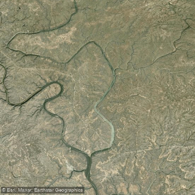
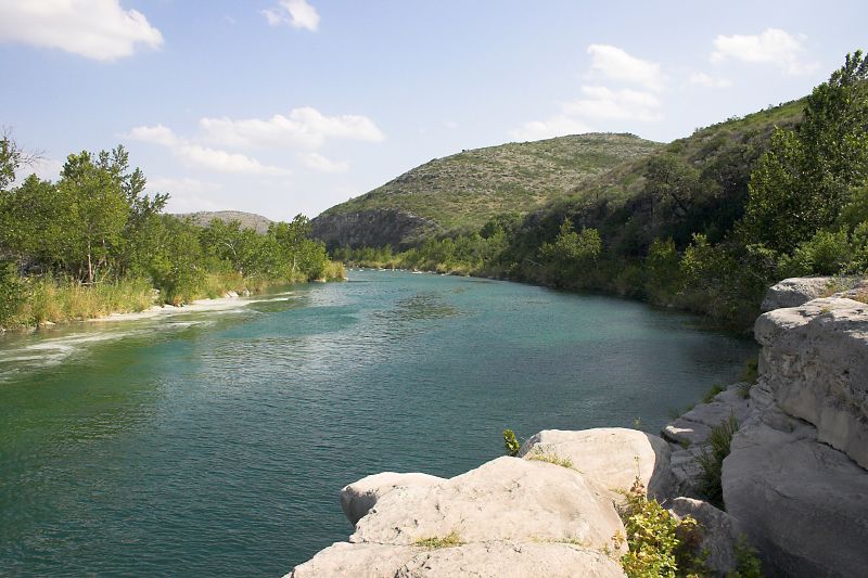
Top waters to fish near Amistad National Recreation Area
Species & education
Learn what type of fish are in Amistad National Recreation Area and what's needed to catch them.

Find which waters have the species you want to catch
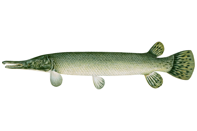
Alligator Gar
Atractosteus spatula

Black Buffalo
Ictiobus niger

Black Bullhead
Ameiurus melas

Black Crappie
Pomoxis nigromaculatus

Blue Catfish
Ictalurus furcatus
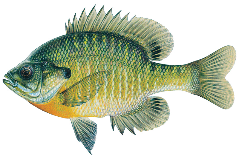
Bluegill
Lepomis macrochirus
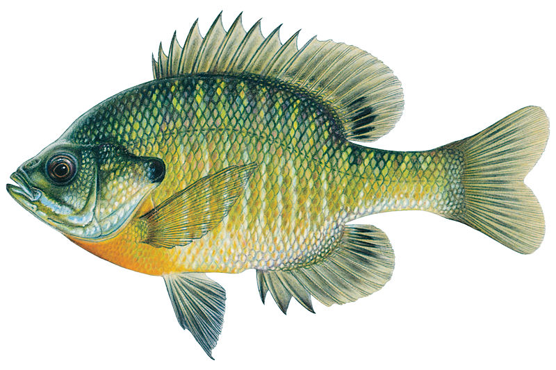
Bluegill Sunfish
Lepomis macrochirus

Blue Sucker
Cycleptus elongatus

Brook Trout
Salvelinus fontinalis

Brown Trout
Salmo trutta

Channel Catfish
Ictalurus punctatus

Common Carp
Cyprinus carpio
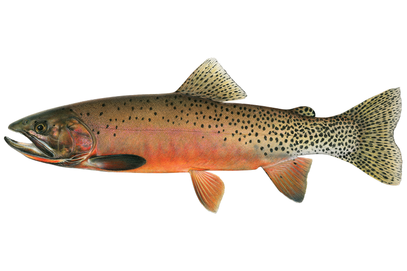
Cutthroat Trout
Oncorhynchus clarkii

Flathead Catfish
Pylodictis olivaris

Flathead Chub
Platygobio gracilis
Water and weather conditions (10 day forecast)
See the best times to fish Amistad National Recreation Area and check the forecast before you go.
No forecast data available.
Park alerts & road status
Closures and conditions Amistad National Recreation Area has posted, from the National Park Service.
Checking the park's alerts…
Hours & fees
When Amistad National Recreation Area is open and what it costs to get in, from the National Park Service.
Hours
Open 24 hoursAmistad National Recreation Area is open throughout the year. However, some areas may experience temporary closures because of low water levels. Please see our Operation Hours and Seasons and Current Conditions pages for more specific details.
Entrance fees
No entrance fee is listed for this park.
Parking & getting around
Where to leave the car in Amistad National Recreation Area. Lots fill early on busy days, so plan where you will park before you head for the water.
Black Brush Point Parking
Paved parking lot with 24 standard parking spaces and two suitable for large vehicles or vehicles towing trailers. Adjacent to 5 picnic tables shaded by tin-roofed ramadas. Has both a high-water level and a low-water level ramp; however, location may be closed when lake level is less than 1083 feet above mean sea level (amsl).
Diablo East Main Parking
Paved parking lot will accommodate 14 standard vehicles and 46 oversized vehicles / those towing trailers. There are 2 designated disabled parking spaces that will accommodate vans. It is immediately adjacent to Ranger Station, several steel-roofed ramadas shading picnic tables, and accessible restrooms. It is near hiking trails and boat ramps, and an RV dump station (can be used with proof of in-park camping) and fish cleaning station are en route to this area. It is the most popular location for boating a
Diablo East Marina Parking
While the marina no longer exists, the expansive, paved parking lot still does and is the most popular area for fishing tournaments. It will accommodate 20 large vehicles / those towing trailers and 48 standard vehicles. Two spaces are designated disabled parking. This lot is immediately adjacent to the fish return tube and a restroom facility, and is near hiking trails, a boat ramp, and a Ranger Station. En route, are an RV dump station (can be used with proof of in-park camping) and fish cleaning station.
Diablo East Trailhead Parking (North Lot)
Paved overflow parking for 44 oversized vehicles / with trailer. Located near trailheads, boat ramp, Ranger Station, and comfort station.
Diablo East Trailhead Parking (South Lot)
Limited parking on gravel/dirt parking area with paved parking areas close to location.
Governors Landing Day Use Area Parking
Large, paved parking lot will accommodate large vehicles and those towing trailers, as well as the standard family cars and vans.
Pecos Day Use Parking
Large, paved parking lot with one designated disabled accessible parking space suitable for a van, 8 standard vehicle spaces, and 32 pull-through spaces suitable for oversized vehicles or those towing a trailer. Multiple picnic tables shaded by large tin-roofed ramadas with grills are adjacent to the lot as is a fish cleaning station and Pecos Nature Trail. Not far from the comfort station/restrooms. Potable water available.
Pecos River Boat Launch Parking
Paved parking lot will accommodate large vehicles and those towing trailers, as well as the standard family cars and vans.
Rough Canyon Comfort Station Parking
Paved parking lot will accommodate large vehicles and those towing trailers, as well as the standard family cars and vans.
Rough Canyon Fish Cleaning Station Parking
Paved parking lot will accommodate large vehicles and those towing trailers, as well as the standard family cars and vans.
Getting around
Amistad National Recreation Area is located on the US-Mexico border 7 miles west of the Del Rio city limit and 6 miles west of the US Highway 90 and 277 North intersection. The park is 160 miles west of San Antonio on US Highway 90 and about 230 miles east of Big Bend National Park via US Highway 90 and US Highway 385. Access to Amistad from the north or south is via US 277/377. The visitor center address is 10477 Highway 90 West, Del Rio, TX 78840.
Directions on nps.govFishing guides near Amistad National Recreation Area
Book a trip with a local fishing guide through Guidesly.

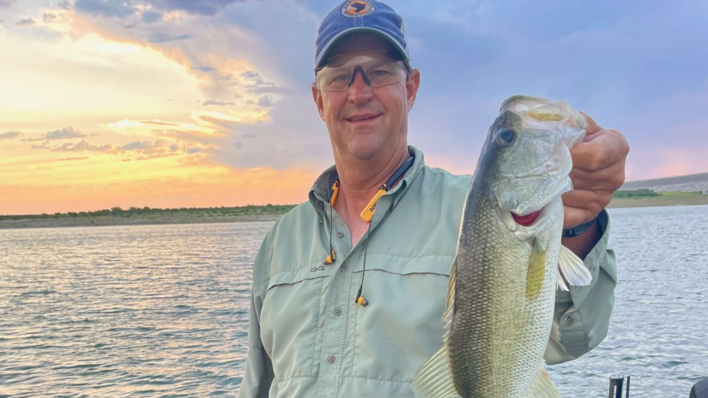
Tim Flowers
Tim Flowers Outdoors
Book With Tim Flowers Outdoors Today!
Book on Guidesly, opens in new tab
DW Senney
Slick Rock Outfitters
Discover the Waters of Fishing Charters in Texas
Book on Guidesly, opens in new tab
Cory Miles
Brush creekguide services
Premier Bass Fishing in Texas & Wyoming
Book on Guidesly, opens in new tab
Fish smarter with real-time insights
Whether you're en route and conditions shift or you're looking for the best spot based on current flows, we enable you to make informed decisions on the fly.




Fishing near Amistad National Recreation Area
Loading...
Gateway towns
Where to base yourself for fishing in Amistad National Recreation Area.
- Del RioTX
Main gateway with the visitor center, boat launches, fishing guides, hunting permits, and lodging for the reservoir.
Amistad National Recreation Area fishing rules
The park's own rules, on top of Texas licenses and regulations. Limits, fees and closures change, so check the park's page before you go.

Texas Fishing License Required
Texas fishing license requirements and regulations apply on the U.S. side of Amistad Reservoir. The border with Mexico runs along the main channel of the Rio Grande, marked by numbered buoys RG1 through RG28. Check Texas Parks and Wildlife for current license details.

No Fishing in Harbors or Swim Areas
Fishing is prohibited in all harbors and designated swim areas. Hooks and fishing line in these zones can cause damage, injury, or drowning. You may fish from shore anywhere else outside these areas.

Some Areas Closed to All Use
Seminole Canyon starting 0.5 miles up-canyon from the Rio Grande confluence is closed to all public use. Government Cove at Diablo East is also fully closed. Both areas are marked with buoys and signs.

Lake Use Permit to Launch
A Lake Use Permit is required to launch any motorized craft on the reservoir. Pick one up before you head out on the water.

Wear a Life Jacket on the Water
It is recommended to wear a life jacket or PFD any time you are on or near the water. Amistad is a large reservoir and conditions can change quickly.
Explore Amistad National Recreation Area
Top fishing waters
Popular Cities
Loading popular cities...

Smarter Fishing Starts in the App.
onWater Fish gives you everything you need to plan smarter, fish better, and own every trip from first cast to last.