Saint Joseph River
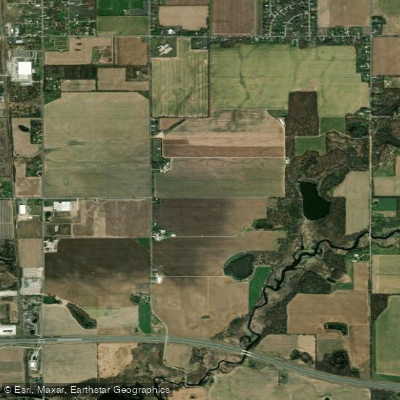
Saint Joseph River
- Boat Ramps
- 29
- Access Points
- 31
- Species
- 45
The Saint Joseph River is a major waterway flowing through Michigan, Indiana, and Ohio, spanning 206 miles from its headwaters at Baw Beese Lake in Michigan to its mouth at Lake Michigan between the cities of St. Joseph and Benton Harbor. This diverse river system supports a rich aquatic ecosystem and provides excellent fishing opportunities year-round. With five distinct segments (Headwaters, Upper, Middle, Lower, and Mouth), the river transitions from a small, cool stream to a large, warm river that's known for its steelhead and salmon runs, as well as diverse warmwater fishing opportunities. The river has moderately stable flows due to its thick surficial layer of coarse-textured glacial deposits and pervious soils, offering a variety of fishing habitats from deep pools to riffles.
Species & education
Learn what type of fish are at Saint Joseph River and what's needed to catch them.

Find which waters have the species you want to catch

Largemouth Bass
Micropterus salmoides

Smallmouth Bass
Micropterus dolomieu

Rainbow Trout
Oncorhynchus mykiss

Brown Trout
Salmo trutta

Cutthroat Trout
Oncorhynchus clarkii
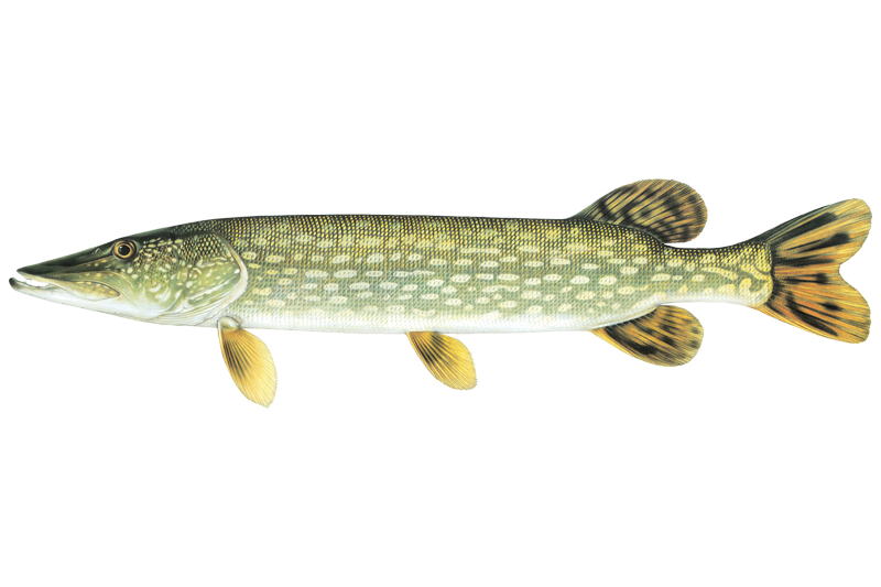
Northern Pike
Esox lucius
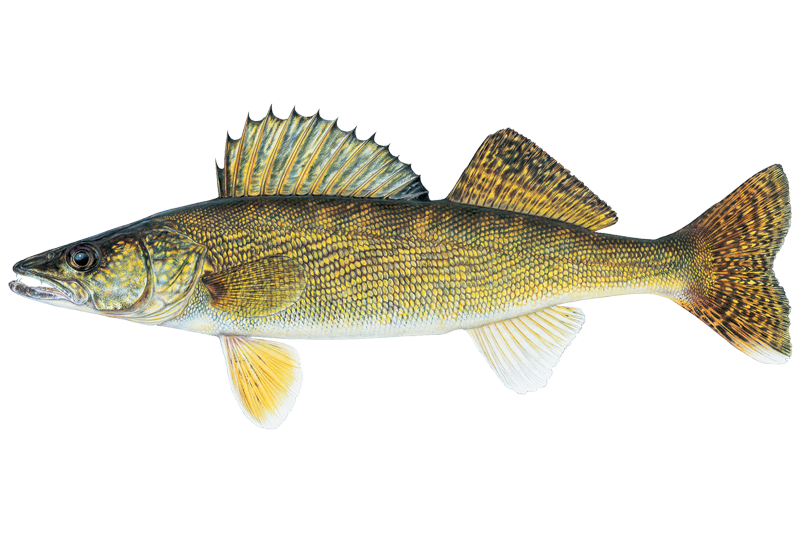
Walleye
Sander vitreus

Black Crappie
Pomoxis nigromaculatus
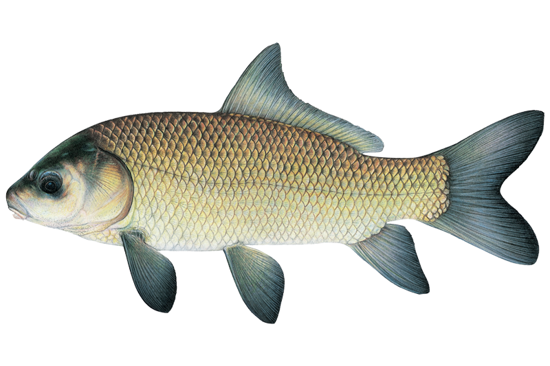
Black Buffalo
Ictiobus niger

Black Bullhead
Ameiurus melas
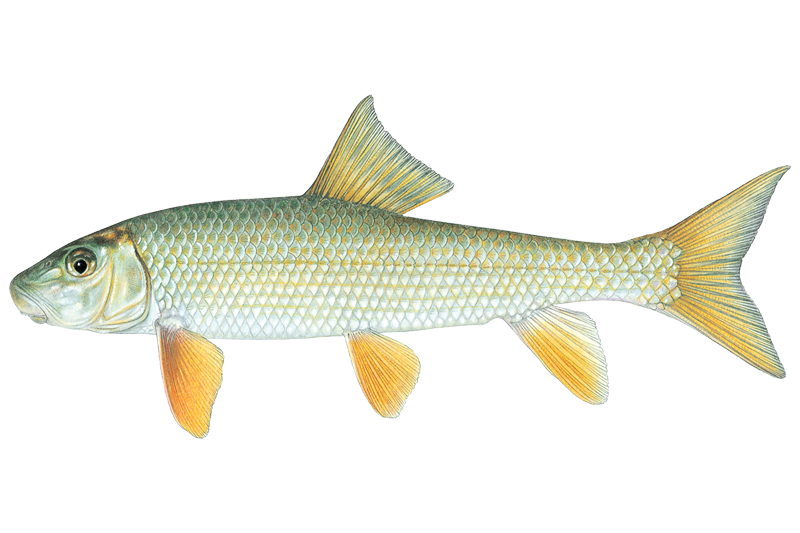
Black Redhorse
Moxostoma duquesnei

Bluegill Sunfish
Lepomis macrochirus

Brown Bullhead
Ameiurus nebulosus

Channel Catfish
Ictalurus punctatus
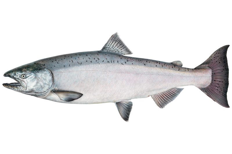
Chinook Salmon
Oncorhynchus tshawytscha
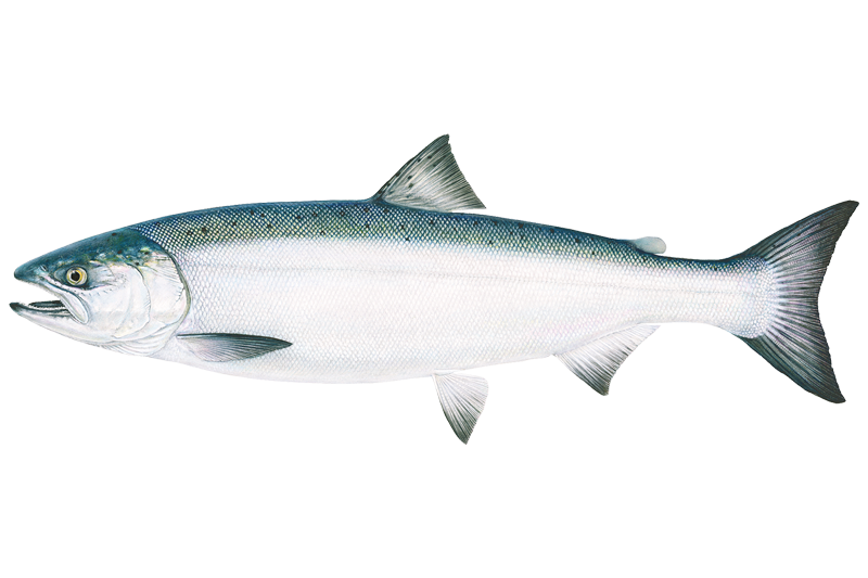
Coho Salmon
Oncorhynchus kisutch

Common Carp
Cyprinus carpio

Flathead Catfish
Pylodictis olivaris
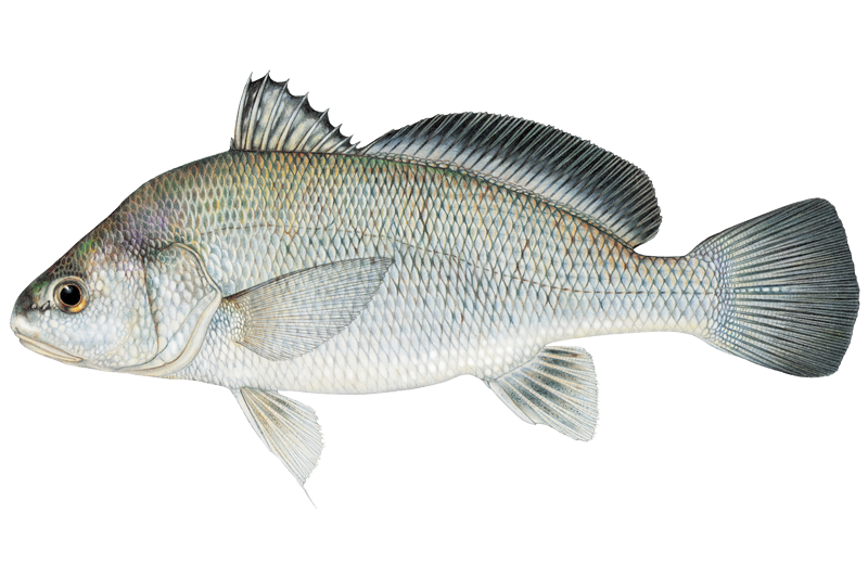
Freshwater Drum
Aplodinotus grunniens
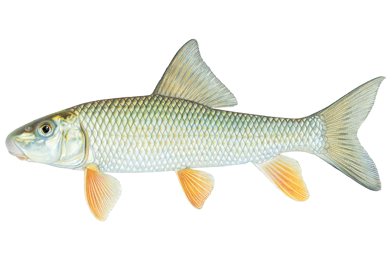
Golden Redhorse
Moxostoma erythrurum
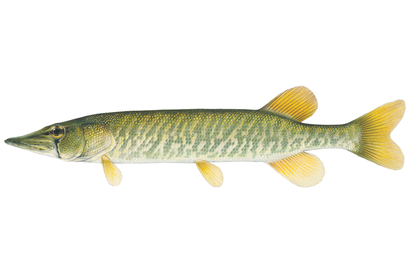
Grass Pickerel
Esox americanus

Green Sunfish
Lepomis cyanellus

Lake Trout
Salvelinus namaycush

Lake Whitefish
Coregonus clupeaformis

Longear Sunfish
Lepomis megalotis
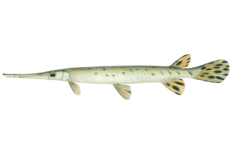
Longnose Gar
Lepisosteus osseus
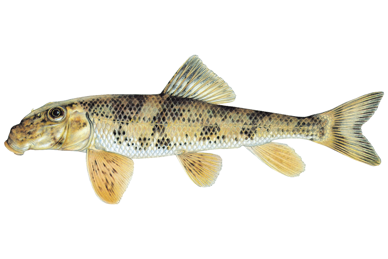
Northern Hogsucker
Hypentelium nigricans

Orangespotted Sunfish
Lepomis humilis
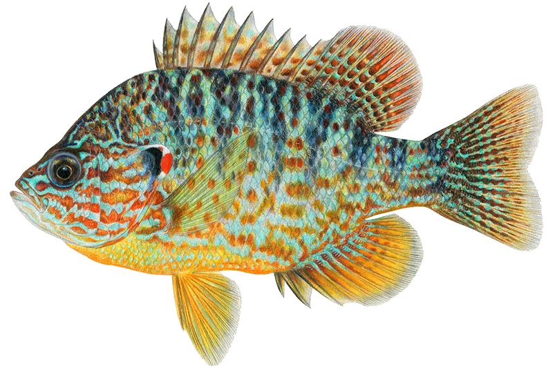
Pumpkinseed
Lepomis gibbosus

Quillback Carpsucker
Carpiodes cyprinus
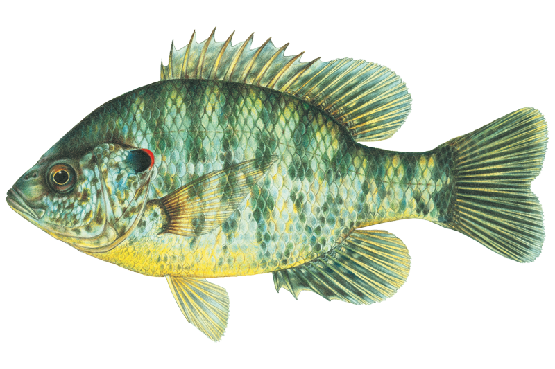
Redear Sunfish
Lepomis microlophus
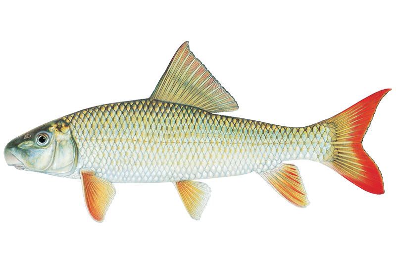
River Redhorse
Moxostoma carinatum

Rock Bass
Ambloplites rupestris
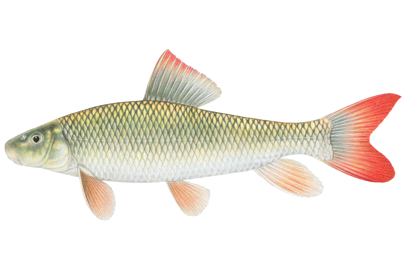
Shorthead Redhorse Sucker
Moxostoma macrolepidotum
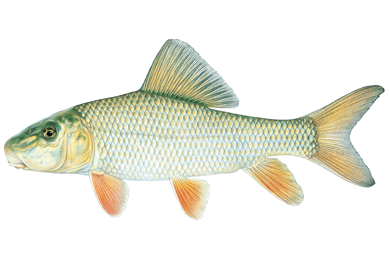
Silver Redhorse
Moxostoma anisurum
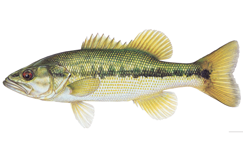
Spotted Bass
Micropterus punctulatus
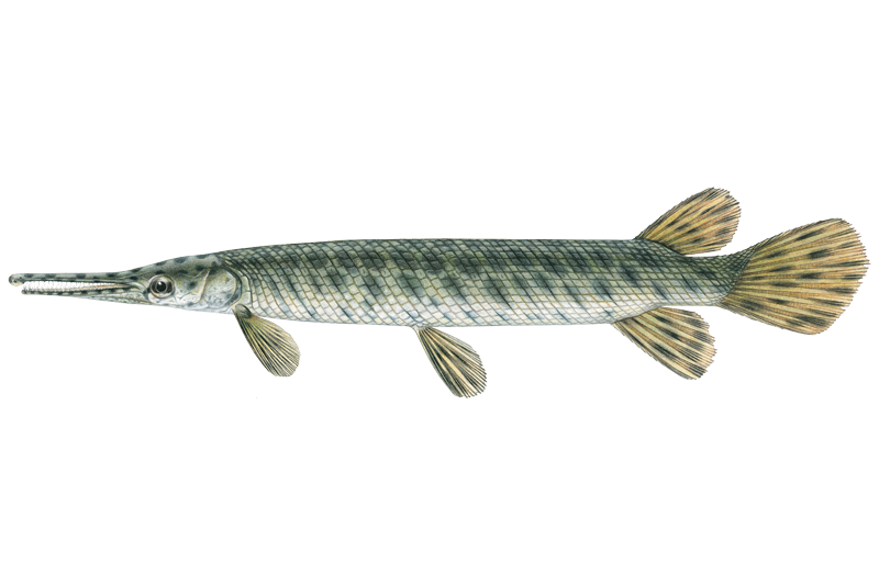
Spotted Gar
Lepisosteus oculatus
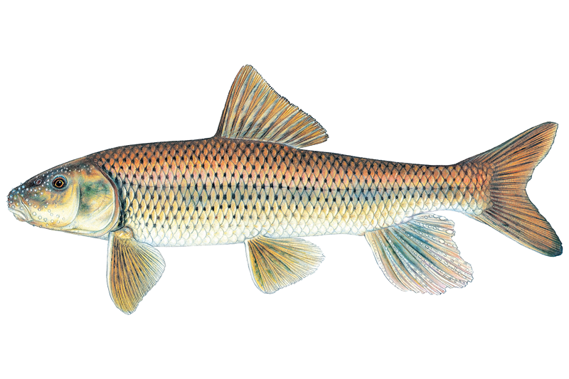
Spotted Sucker
Minytrema melanops

Steelhead
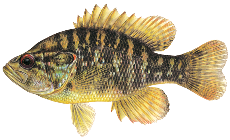
Warmouth Sunfish
Lepomis gulosus
Fish stocking schedule
Latest 5 stockings
- Walleye19,427 fish · 1.2 inJun 9, 2026
- Walleye25,986 fish · 1.2 inJun 9, 2026
- Walleye20,105 fish · 1.4 inJun 3, 2026
- Walleye15,072 fish · 1.4 inJun 3, 2026
- Walleye23,062 fish · 1.4 inJun 3, 2026
Source
Michigan Department of Natural Resources
Updated Nov 13, 2026. Sizes are the length the agency reports. Dates are as precise as the agency reports them.
Open stocking page, opens in new tabFishing spots, boat ramps & amenities
Learn how to get on Saint Joseph River. Uncover great fishing access points, boat ramps, and all the facilities you need for an unforgettable day on the water. Some locations shown may border or include private property. Always check property boundaries and applicable regulations before visiting. onWater's Public & Private Land layer can help you plan your access with confidence.
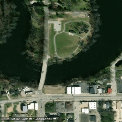
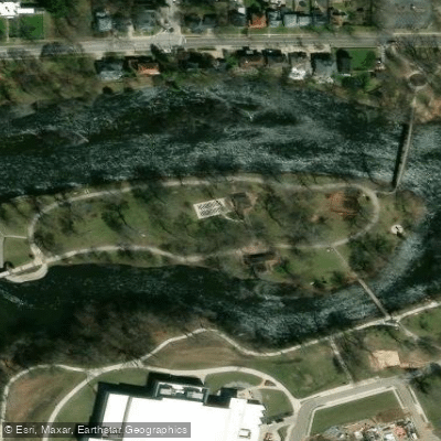
Know where you can legally fish on Saint Joseph River
See public and private land boundaries along the water, turn on private parcels with owner details to know where permission is required, and find land-trust parcels that offer permitted fishing access.
Indiana licenses and regulations

Indiana Boating Regulations
When using any type of watercraft to access a body of water, it is important to follow all federal, state, and local rules and regulations. These rules and regulations include boat permitting and licensing, invasive species inspections and stamps, life jacket and PFD rules, motor size and horsepower restrictions, noise limitations, restrictions on personal watercraft, and many more. Visit the web link below for the most current rules and regulations for this body of water.

Indiana Fishing License
Non-resident youth age 17 or younger are exempt from a fishing license, state migratory waterfowl stamp, and gamebird habitat stamp.

Indiana Fishing Regulations
This river has a variety of species and regulations, including potential floating and/or watercraft restrictions. Because this river is specially managed for species, seasons, angling methods, and watercraft, it is strongly encouraged you check all federal, state, and local regulations before fishing. Visit any of the links below, inquire locally, or contact a local fly shop to learn current regulations and restrictions.

Indiana Stream Access Laws
Public recreation and boating are allowed on all navigable, state-owned waters/riverbeds. That determination, however, can be difficult to ascertain. We recommend consulting a stream roster on indiana.gov
Take Saint Joseph River with you
The onWater Fish app keeps this water's access points, species and conditions in your pocket, with the tools you use once you're there.
Use the map without signal
Download the map around Saint Joseph River to use it offline when coverage drops.
Log your catches here
Keep a private fishing journal for Saint Joseph River to find where and when fish are biting for you.
Get the onWater Fish app
Free on iOS and Android
Water and weather conditions (10 day forecast)
See the best times to fish Saint Joseph River and check the forecast before you go.
ST. JOSEPH RIVER NEAR FORT WAYNE, IN
All Flow Stations
Saint Joseph River fishing guides
Book a trip with a local fishing guide through Guidesly.


Jon Chizmadia
St Joe Angler
5.0 (4 reviews)
Expert Fly Fishing Guide Jon Chizmadia
Book on Guidesly, opens in new tab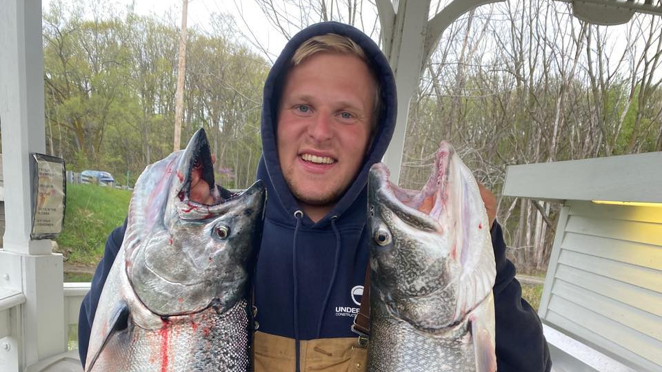
Christopher Baird
Flagship Fishing Charters
Book Our St joseph Michigan Fishing Charters Now!
Book on Guidesly, opens in new tab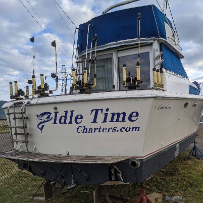
Ryan Boulter
Idle Time Charters
Fish for Salmon & Trout - fun filled trip in MI!
Book on Guidesly, opens in new tab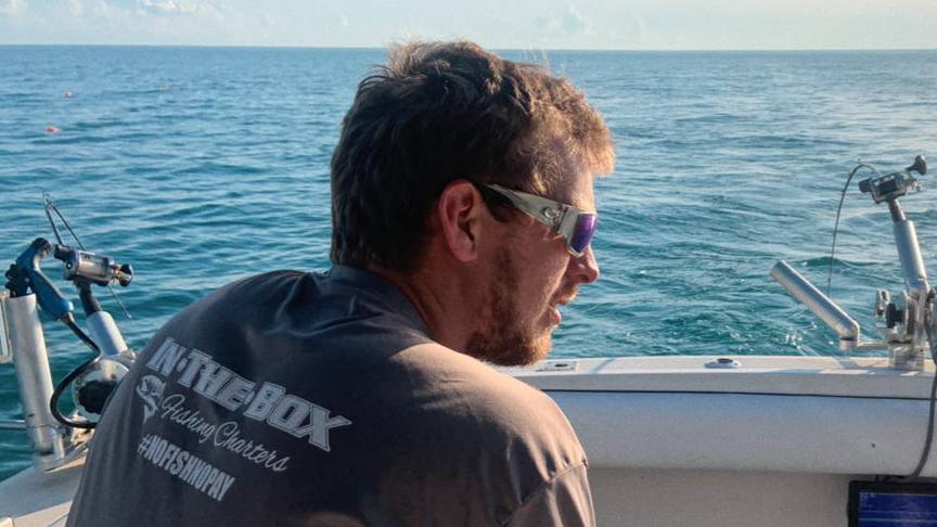
Jarold Hasse
In The Box Fishing Charters
Book the best Lake Michigan fishing charters
Book on Guidesly, opens in new tab
Fishing near Saint Joseph River
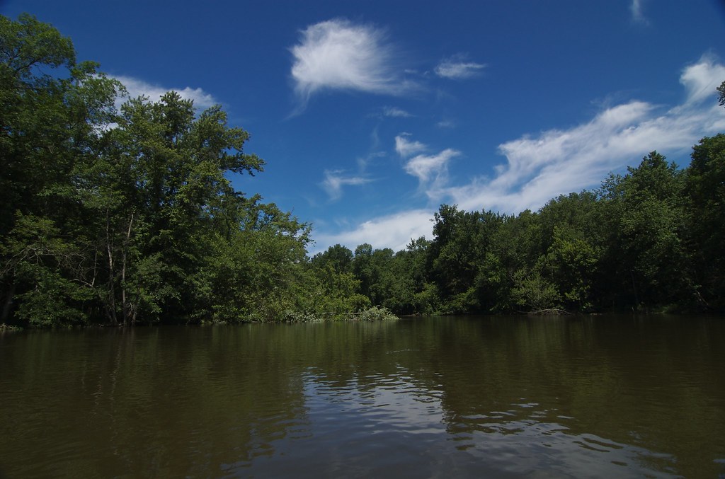
Kalamazoo River
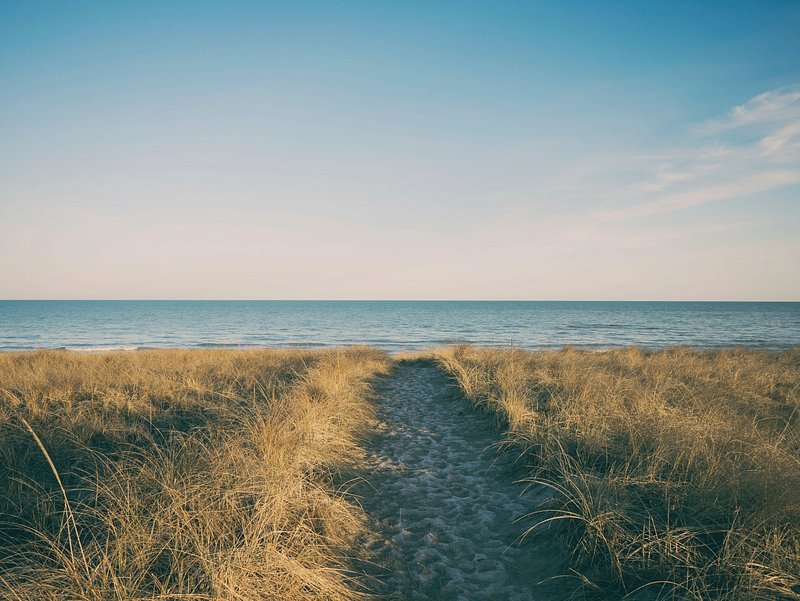
Lake Michigan
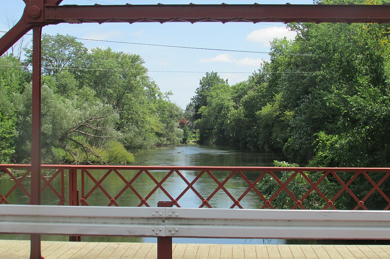
Elkhart River
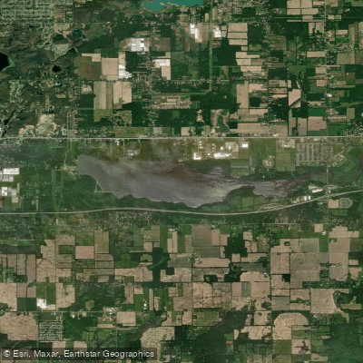
Morrow Lake
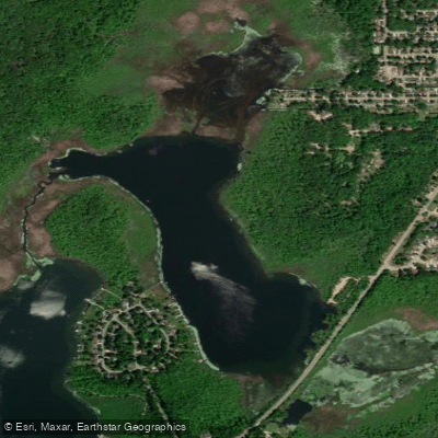
Sugarloaf Lake
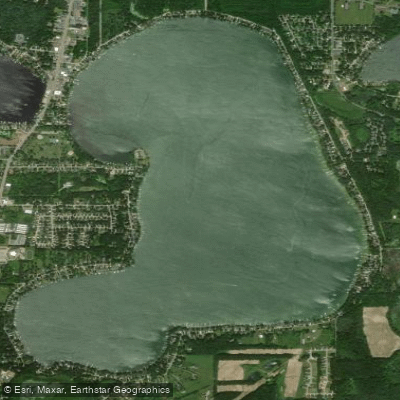
Austin Lake
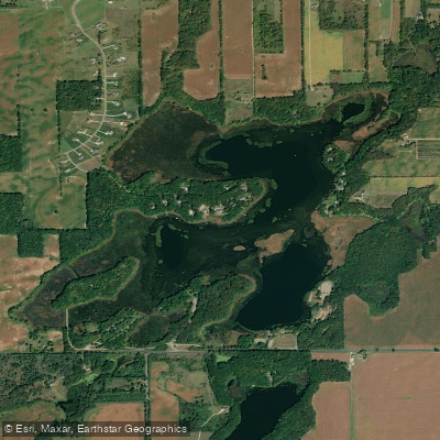
Portage Lake
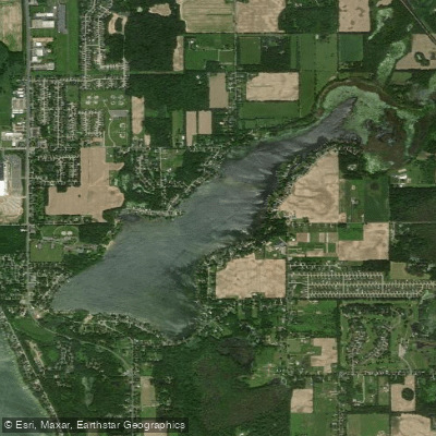
Long Lake
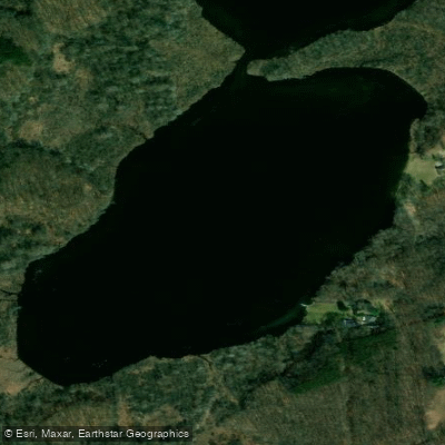
Hogset Lake
Explore Indiana waters
Top fishing waters
Popular Cities
Loading popular cities...
Explore near Saint Joseph River
Fish species
Fishing spots
Nearby waters
More in Indiana

Smarter Fishing Starts in the App.
onWater Fish gives you everything you need to plan smarter, fish better, and own every trip from first cast to last.