
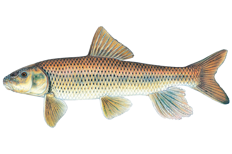
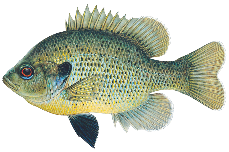
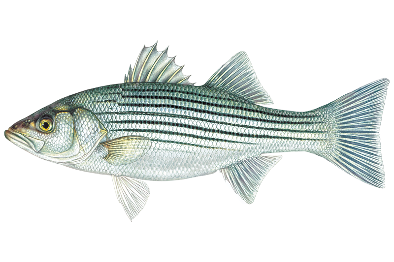
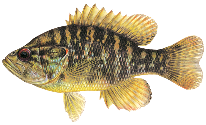





Chattahoochee River

Boat Ramps
32
Access Points
46
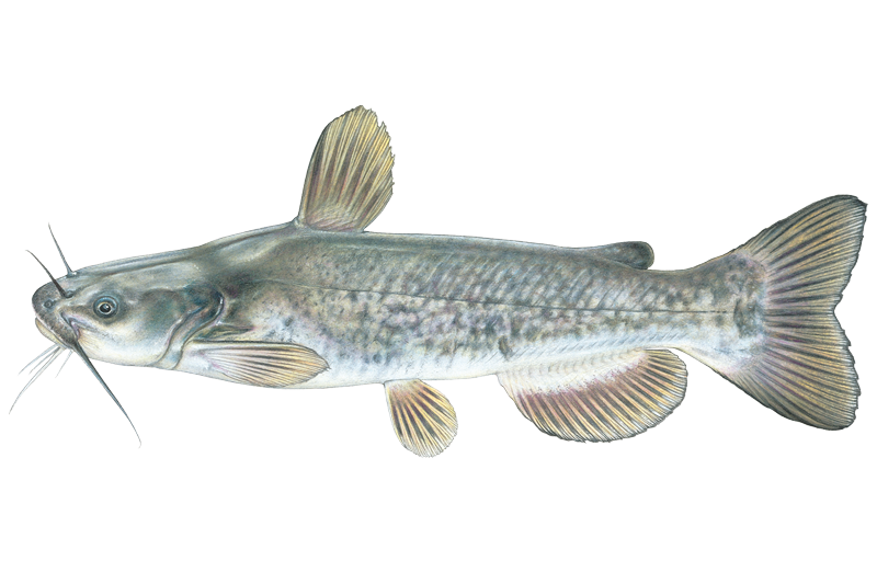
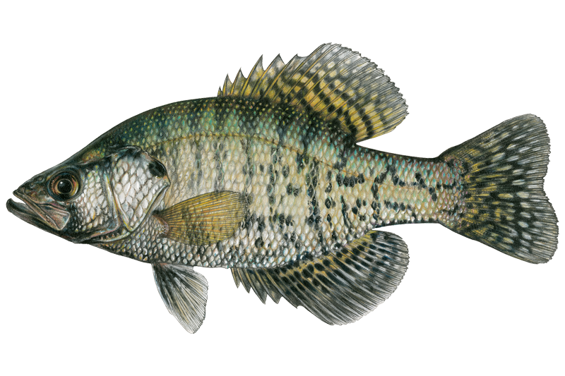
Species
42

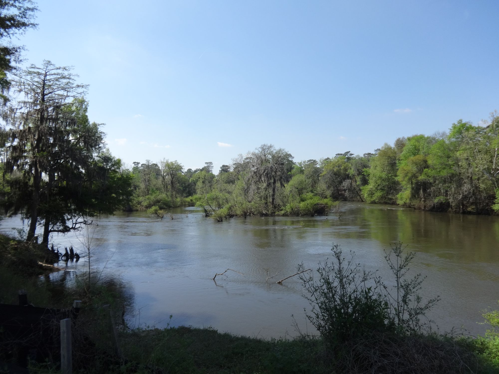
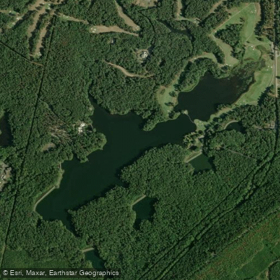
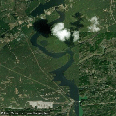
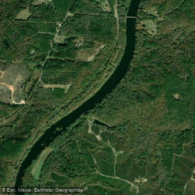
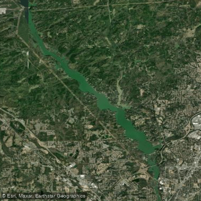
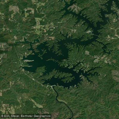
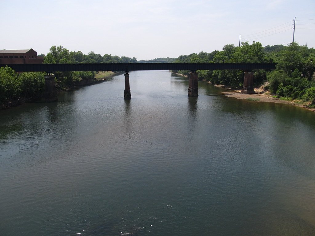
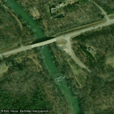
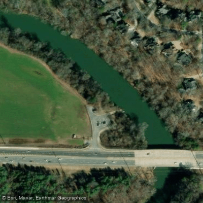
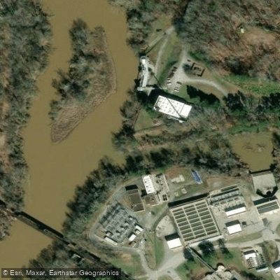
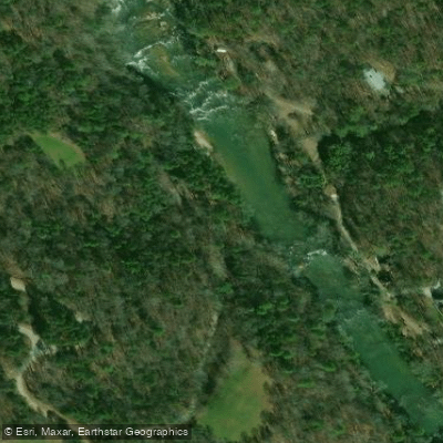
The Chattahoochee River is a magnificent 430-mile waterway that flows through Georgia, Alabama, and Florida, offering anglers diverse fishing experiences in varied environments. Known for its vibrant ecosystem and stunning scenery, the river maintains a consistently cool temperature year-round, rarely exceeding 50°F, creating ideal conditions for numerous fish species. The river's unique geological features, including rocky outcrops, wide river bends, and forested banks, provide a picturesque backdrop for anglers while creating diverse fishing habitats that promise both challenges and rewards.


Species & education

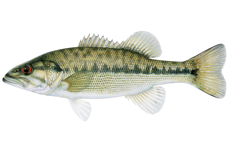
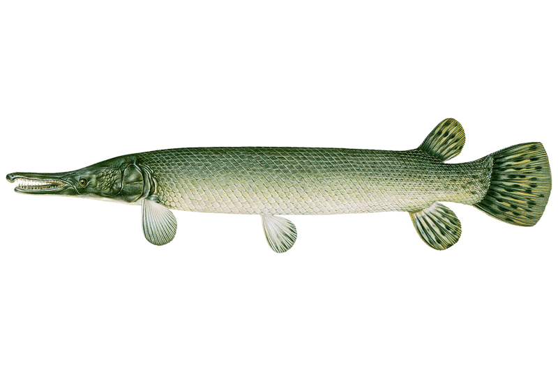
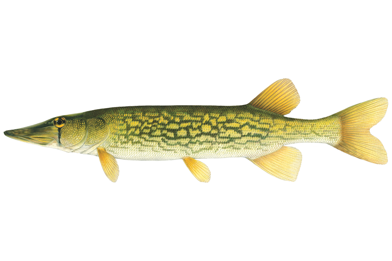
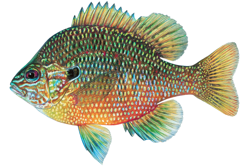
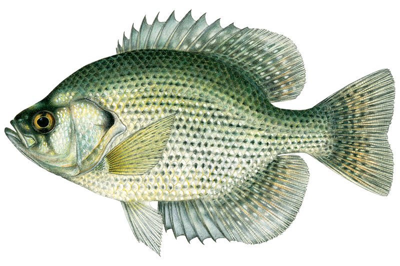
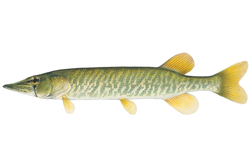
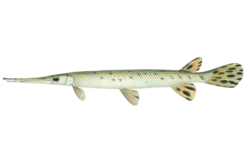
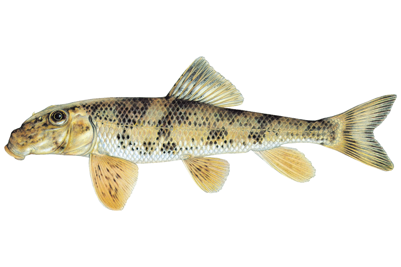
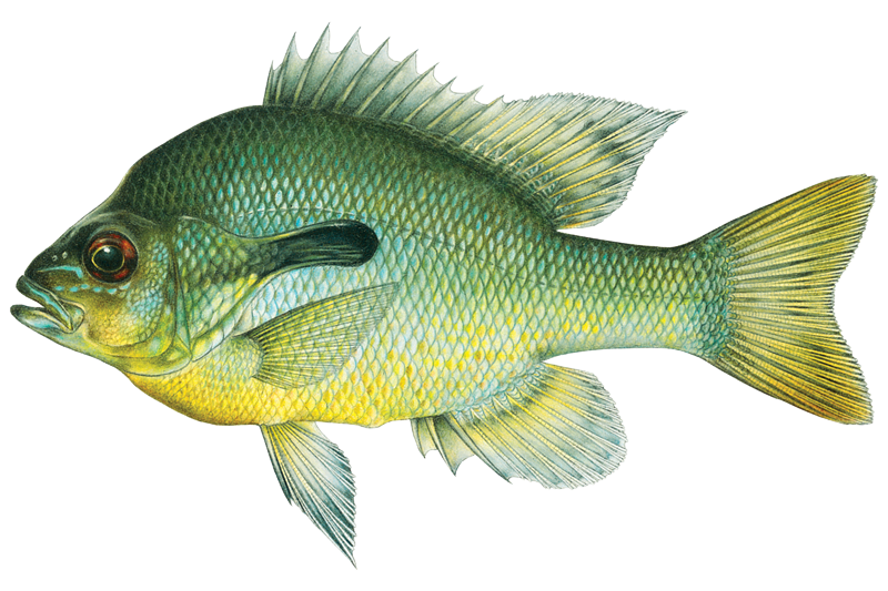
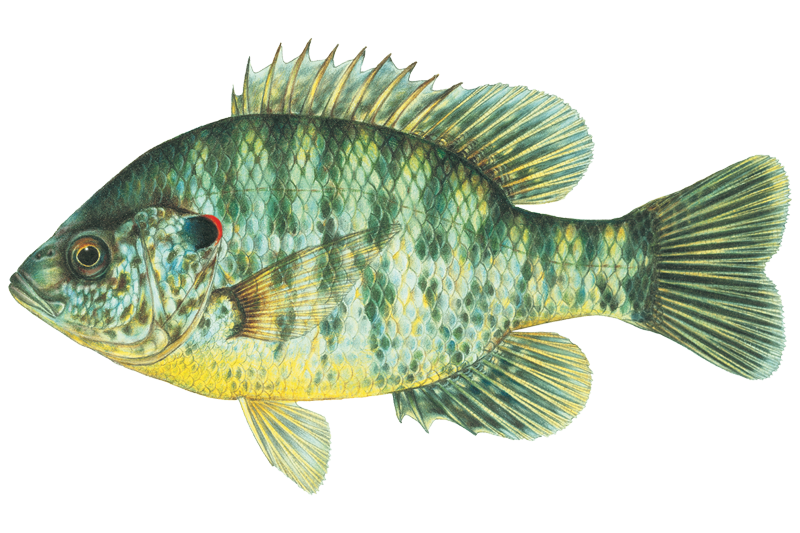
Learn what type of fish are at Chattahoochee River and what's needed to catch them.

Fish stocking schedule

All stockings · 2

  • TroutSep 25, 2026
  • TroutAug 21, 2026

Source

Georgia Department of Natural Resources, Wildlife Resources Division

Updated Nov 13, 2026. Dates are as precise as the agency reports them.

Open stocking page, opens in new tab

Fishing spots, boat ramps & amenities

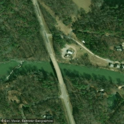
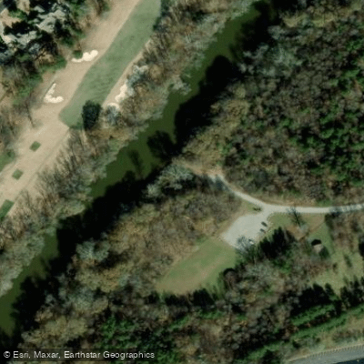
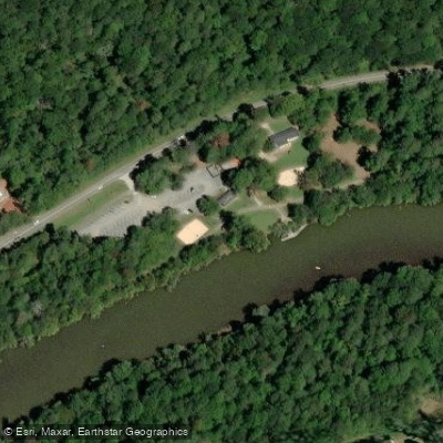
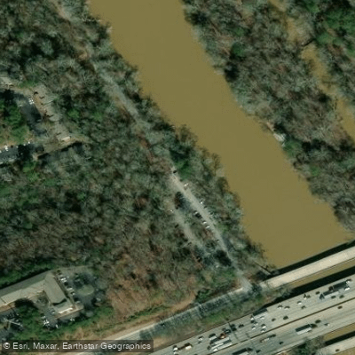
Learn how to get on Chattahoochee River. Uncover great fishing access points, boat ramps, and all the facilities you need for an unforgettable day on the water. Some locations shown may border or include private property. Always check property boundaries and applicable regulations before visiting. onWater's Public & Private Land layer can help you plan your access with confidence.

Know where you can legally fish on Chattahoochee River

See public and private land boundaries along the water, turn on private parcels with owner details to know where permission is required, and find land-trust parcels that offer permitted fishing access.

Georgia licenses and regulations

Georgia Boating Regulations

When using any type of watercraft to access a body of water, it is important to follow all federal, state, and local rules and regulations. These rules and regulations include boat permitting and licensing, invasive species inspections and stamps, life jacket and PFD rules, motor size and horsepower restrictions, noise limitations, restrictions on personal watercraft, and many more. Visit the web link below for the most current rules and regulations for this body of water.

Learn more, opens in new tab

Georgia Delayed Harvest Streams

Anglers fishing delayed harvest streams must release all trout immediately and use and possess only artificial lures with one single hook per lure from Nov. 1–May 14 annually. The use of additional “dropper” lures on one line is permitted as long as each lure contains one single hook. These restrictions do not apply from May 15–Oct. 31 of each year.

Georgia Fishing License

Anglers age 16 and older must have a current Georgia fishing license in their possession while fishing in fresh or salt water in Georgia. Additionally, a free SIP is required to fish in saltwater. A temporary authorization number obtained by telephone or internet sale may be used for seven days until the paper copy is received or printed. Game Wardens may require photo identification when checking fishing licenses. Exception: A fishing license is not required to fish in private ponds (does not include ponds owned by governments—city, county, state, or federal) nor by a resident and their immediate family when fishing on their land.

Learn more, opens in new tab

Georgia Fishing Regulations

When using any type of watercraft to access a body of water, it is important to follow all federal, state, and local rules and regulations. These rules and regulations include boat permitting and licensing, invasive species inspections and stamps, life jacket and PFD rules, motor size and horsepower restrictions, noise limitations, restrictions on personal watercraft, and many more. Visit the web link below for the most current rules and regulations for this body of water.

Learn more, opens in new tab

Georgia Stream Access Laws

Navigable waters are those capable of regular barge traffic. The public may boat and fish to the low water mark only where the streambed is owned by the state. If the streambeds are private, you need permission to wade and fish.

Learn more, opens in new tab

Take Chattahoochee River with you

The onWater Fish app keeps this water's access points, species and conditions in your pocket, with the tools you use once you're there.

  • Use the map without signal

    Download the map around Chattahoochee River to use it offline when coverage drops.

  • Log your catches here

    Keep a private fishing journal for Chattahoochee River to find where and when fish are biting for you.

Get the onWater Fish app

Free on iOS and Android

Water and weather conditions (10 day forecast)

See the best times to fish Chattahoochee River and check the forecast before you go.

CHATTAHOOCHEE RIVER BELOW MORGAN FALLS DAM, GA

Loading flow chart…
Latest
10 yr average

All Flow Stations


Dam releases

Scheduled releases and generation forecasts from the dams on Chattahoochee River.

Buford Dam

Chattahoochee River · Below Buford Dam · U.S. Army Corps of Engineers, Mobile District

Generating until 8:00 PM EST, up to 63 MW

Next 48 hours

Today
7:00 PM EST to 8:00 PM EST
up to 63 MW
Tomorrow
9:00 AM EST to 10:00 AM EST
up to 54 MW
Tomorrow
7:00 PM EST to 8:00 PM EST
up to 63 MW
U.S. Army Corps of Engineers, Mobile District on spatialdata.usace.army.mil

Forecast updated today at 4:22 PM EST. Schedules can change, so check the operator's page before you go.

Walter F. George Lock and Dam

Chattahoochee River · Below Walter F. George Dam · U.S. Army Corps of Engineers, Mobile District

Generating until 10:00 PM CST, up to 80 MW

Next 48 hours

Today
6:00 PM CST to 10:00 PM CST
up to 80 MW
Tomorrow
6:00 PM CST to 10:00 PM CST
up to 80 MW
U.S. Army Corps of Engineers, Mobile District on spatialdata.usace.army.mil

Forecast updated today at 3:22 PM CST. Schedules can change, so check the operator's page before you go.

West Point Dam

Chattahoochee River · Below West Point Dam · U.S. Army Corps of Engineers, Mobile District

Generating tomorrow 7:00 AM EST to 8:00 AM EST, up to 42 MW

Next 48 hours

Tomorrow
7:00 AM EST to 8:00 AM EST
up to 42 MW
Tomorrow
6:00 PM EST to 7:00 PM EST
up to 42 MW
U.S. Army Corps of Engineers, Mobile District on spatialdata.usace.army.mil

Forecast updated today at 4:22 PM EST. Schedules can change, so check the operator's page before you go.


Explore Georgia waters

Smarter Fishing Starts in the App.

onWater Fish gives you everything you need to plan smarter, fish better, and own every trip from first cast to last.