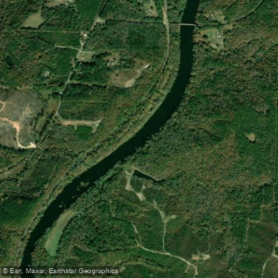
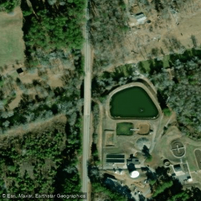
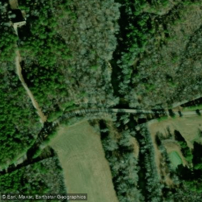
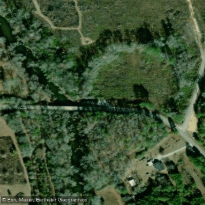
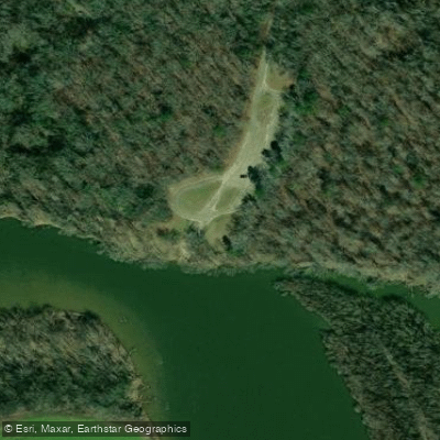
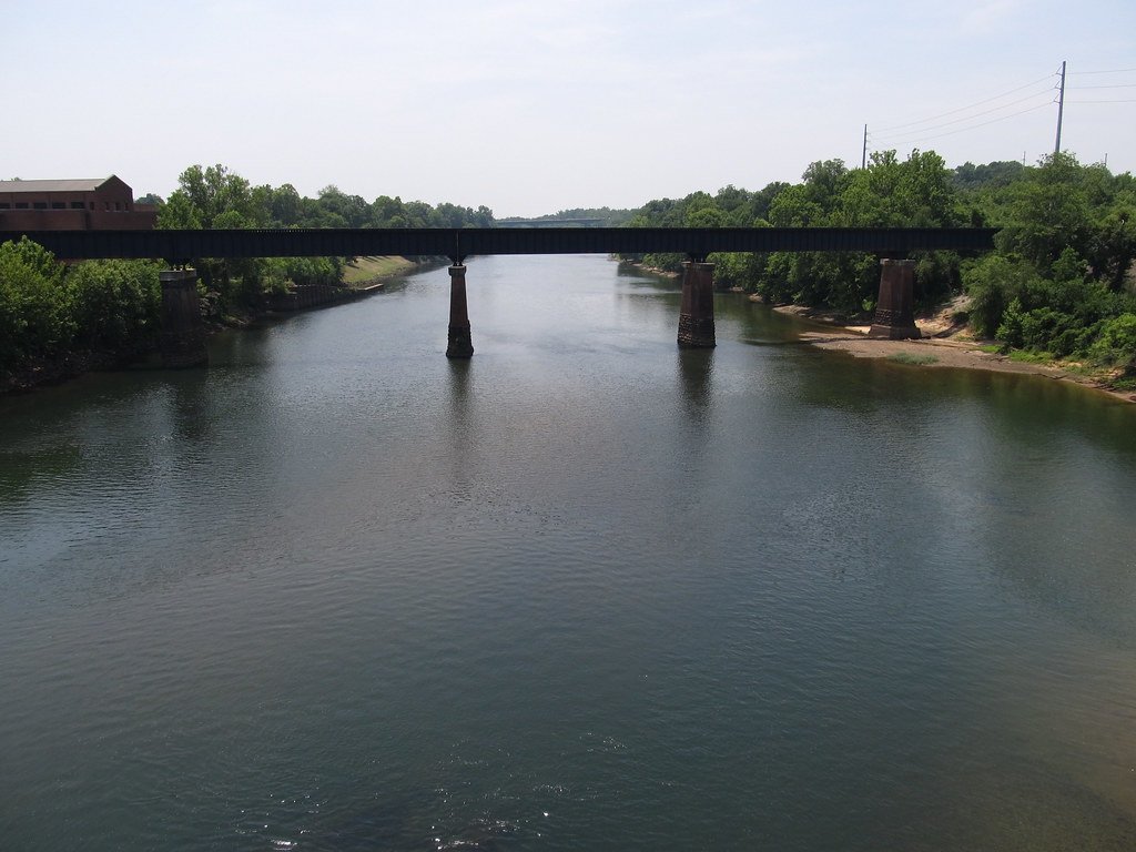
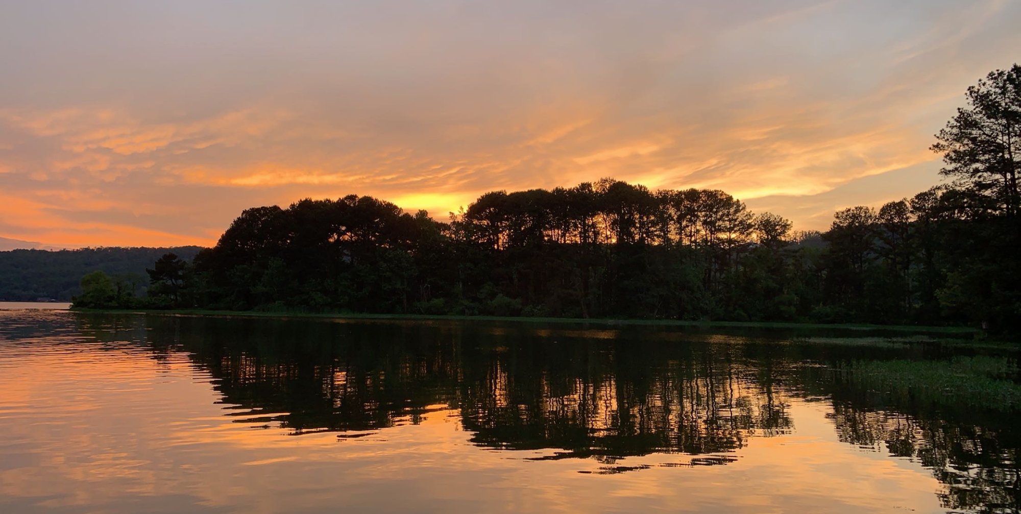
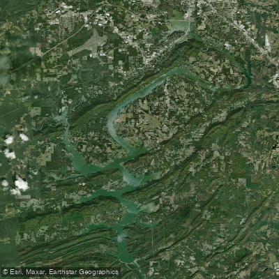
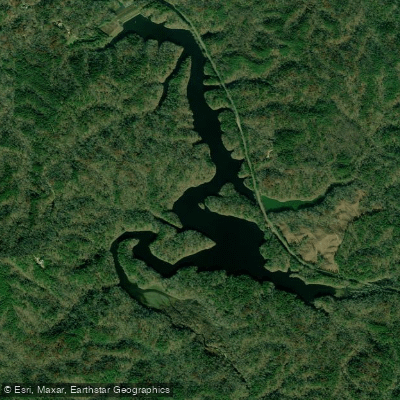
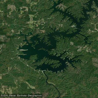
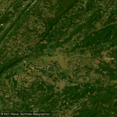
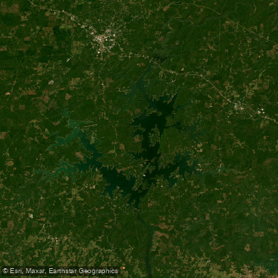
The Tallapoosa River is a picturesque waterway that originates in northwestern Georgia, approximately 40 miles west of Atlanta, before flowing southwesterly across east-central Alabama for 235 miles until joining the Coosa River to form the Alabama River. The river and its watershed cover 4,675 square miles, with 85% of the drainage in Alabama and 15% in Georgia. Running primarily through the Piedmont Upland physiographic region with its complex geology of igneous and metamorphosed sedimentary rock, the Tallapoosa is characterized by physically stable channels with alternating low-gradient areas featuring sand and silt substrates and high-gradient shoal habitats dominated by boulder and bedrock. The river is fragmented by four major impoundments—R.L. Harris (Lake Wedowee), Martin, Yates, and Thurlow. Due to its location in the Piedmont, the Tallapoosa receives relatively few nutrients from natural sources, resulting in clearer water that makes for exceptional fishing visibility but somewhat lower biological productivity compared to other Alabama waterways.