Alabama River

Boat Ramps
1
Access Points
1
Species
38

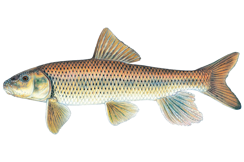
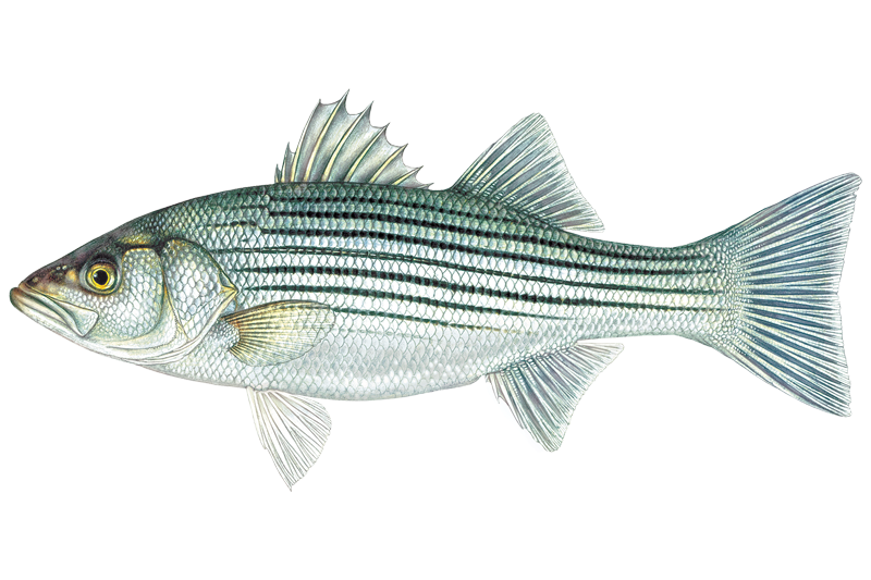
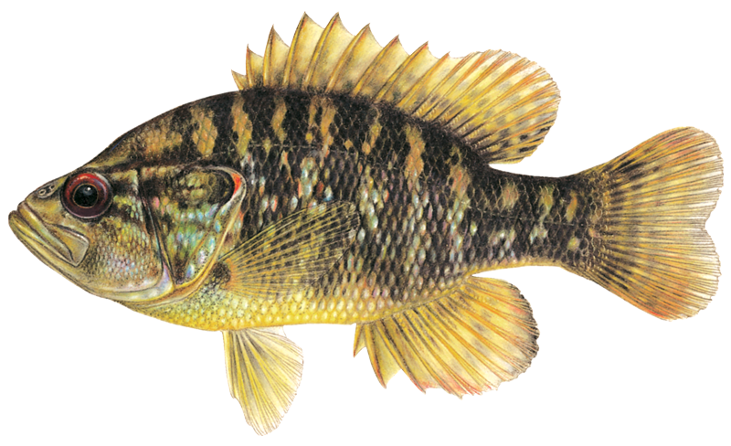
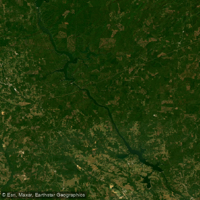
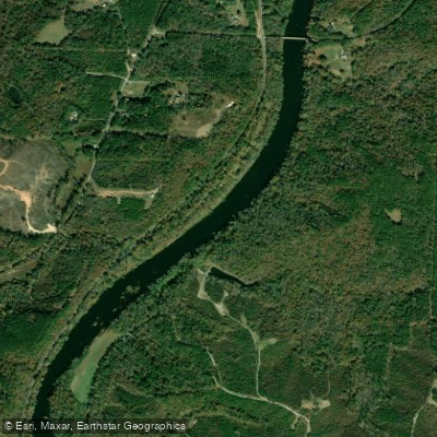
The Alabama River flows through the heart of the state, originating just north of Montgomery where the Coosa and Tallapoosa Rivers join near the Fall Line. This 318-mile waterway winds its way south until it meets the Tombigbee River to form the Mobile River. The Alabama River is managed by the U.S. Army Corps of Engineers with three major lock and dam systems: Jones Bluff (R.E. Bob Woodruff), Millers Ferry (William Bill Dannelly), and Claiborne. These create a series of reservoirs that provide excellent fishing opportunities while maintaining commercial navigation downstream of Montgomery. The river system offers diverse habitats that support both freshwater and saltwater species, making it a premier fishing destination in the Southeast.
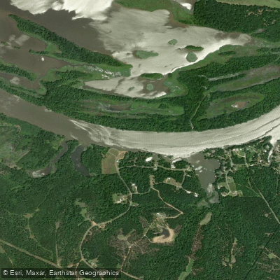

Fishing spots, boat ramps & amenities

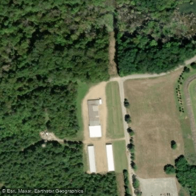
Learn how to get on Alabama River. Uncover great fishing access points, boat ramps, and all the facilities you need for an unforgettable day on the water. Some locations shown may border or include private property. Always check property boundaries and applicable regulations before visiting. onWater's Public & Private Land layer can help you plan your access with confidence.
Know where you can legally fish on Alabama River

See public and private land boundaries along the water, turn on private parcels with owner details to know where permission is required, and find land-trust parcels that offer permitted fishing access.

Alabama licenses and regulations

Alabama Boating Regulations

When using any type of watercraft to access a body of water, it is important to follow all federal, state, and local rules and regulations. These rules and regulations include boat permitting and licensing, invasive species inspections and stamps, life jacket and PFD rules, motor size and horsepower restrictions, noise limitations, restrictions on personal watercraft, and many more. Visit the web link below for the most current rules and regulations for this body of water.

Learn more, opens in new tab

Alabama Fishing License 

A License Information Packet can be viewed for each license for information, laws and regulations. 

Learn more, opens in new tab

Alabama Fishing Regulations

This river has a variety of species and regulations, including potential floating and/or watercraft restrictions. Because this river is specially managed for species, seasons, angling methods, and watercraft, it is strongly encouraged you check all federal, state, and local regulations before fishing. Visit any of the links below, inquire locally, or contact a local fly shop to learn current regulations and restrictions.

Learn more, opens in new tab

Alabama Stream Access Laws

The public can float waterways that meet various standards, but generally include all those capable of floating commercial logs outside of flood seasons. Boaters may not walk on private streambeds or access navigable waters through private lands, unless there is no posted signage stating the land is private. Portage is only permitted in an emergency. 

Learn more, opens in new tab

Take Alabama River with you

The onWater Fish app keeps this water's access points, species and conditions in your pocket, with the tools you use once you're there.

  • Use the map without signal

    Download the map around Alabama River to use it offline when coverage drops.

  • Log your catches here

    Keep a private fishing journal for Alabama River to find where and when fish are biting for you.

Get the onWater Fish app

Free on iOS and Android

Water and weather conditions (10 day forecast)

See the best times to fish Alabama River and check the forecast before you go.

ALABAMA RIVER NEAR MONTGOMERY, AL.

Loading flow chart…
Latest
10 yr average

All Flow Stations


Dam releases

Scheduled releases and generation forecasts from the dams on Alabama River.

Millers Ferry Lock and Dam

Alabama River · Below Millers Ferry Lock and Dam · U.S. Army Corps of Engineers, Mobile District

Generating tomorrow 2:00 PM CST to 10:00 PM CST, up to 72 MW

Next 48 hours

Tomorrow
2:00 PM CST to 10:00 PM CST
up to 72 MW
U.S. Army Corps of Engineers, Mobile District on spatialdata.usace.army.mil

Forecast updated today at 9:24 PM CST. Schedules can change, so check the operator's page before you go.

Robert F. Henry Lock and Dam

Alabama River · Below R.F. Henry Lock and Dam · U.S. Army Corps of Engineers, Mobile District

Generating tomorrow 4:00 PM CST to 9:00 PM CST, up to 81 MW

Next 48 hours

Tomorrow
4:00 PM CST to 9:00 PM CST
up to 81 MW
U.S. Army Corps of Engineers, Mobile District on spatialdata.usace.army.mil

Forecast updated today at 9:24 PM CST. Schedules can change, so check the operator's page before you go.


Smarter Fishing Starts in the App.

onWater Fish gives you everything you need to plan smarter, fish better, and own every trip from first cast to last.