Fishing in Chattahoochee River National Recreation Area
- National Recreation Area

- Lakes
- 3
- Rivers
- 21
- Access
- 27
- Boat Ramps
- 16
- Shops
- 0
- Species
- 15
The Chattahoochee River National Recreation Area runs roughly 48 miles through metro Atlanta, threading a corridor of public land along a tailwater river that behaves unlike almost anything else in the Georgia Piedmont.
The cold releases from Buford Dam on Lake Lanier keep the river rarely warmer than 50 degrees Fahrenheit year-round, which is why trout survive this far south — and why the fishing here draws a different crowd than the warm-water rivers surrounding it.
The river itself is the anchor. From Buford Dam downstream to the mouth of Peachtree Creek, including Bull Sluice Lake, the Chattahoochee is a designated trout stream under Georgia law, and special regulations apply throughout that stretch.
Live bait-fish and seining for bait-fish are both prohibited within the park. Anglers are limited to one rod per person.
A valid Georgia fishing license is required for anyone 16 and older, and a trout stamp is required to fish the river — even if you're targeting bass or catfish rather than trout. Rainbow trout are stocked regularly and are what most anglers encounter first.
Brown trout tend to hold in colder, faster water closer to Buford Dam, working eddies and deeper pools.
Bowmans Island, near the northern end of the park, is a reliable summer spot when trout push toward the coldest water available; at lower flows, much of that stretch is accessible by wading.
The Lower Pool West boat ramp just above Haw Creek provides good access there. Jones Bridge holds trout, bass, and catfish and is one of the more accessible stretches in the middle of the park.
Downstream of Morgan Falls Dam, the water warms enough to shift the fishing — shoal bass move into rocky, fast-moving sections, while striped and largemouth bass hold in deeper pools. Panfish are common in calmer water throughout.
Island Ford Pond and Sibley Pond round out the park's fishable water; both require a Georgia fishing license. Fishing hours run from 30 minutes before sunrise to 30 minutes after sunset. Night fishing is not permitted.
Anyone wading between Buford Dam and the Highway 20 Bridge, or between Morgan Falls Dam and the Morgan Falls Boat Ramp, is required to wear a PFD at all times — the water is cold and the current can move fast without warning.
Check flow conditions before you go. The park sits inside one of the largest metro areas in the Southeast, which means crowds on weekends, but it also means the access infrastructure is well developed.
The trout water is real, the regulations are specific, and the river rewards anglers who pay attention to both.
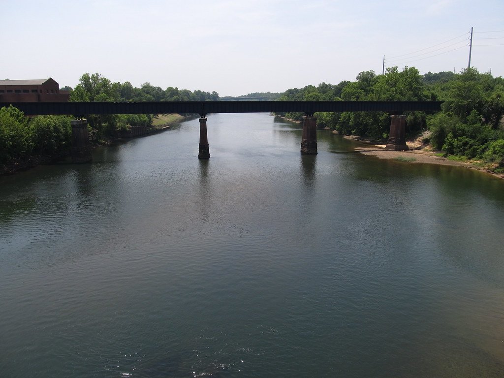
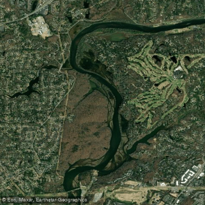
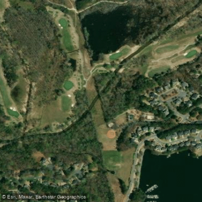
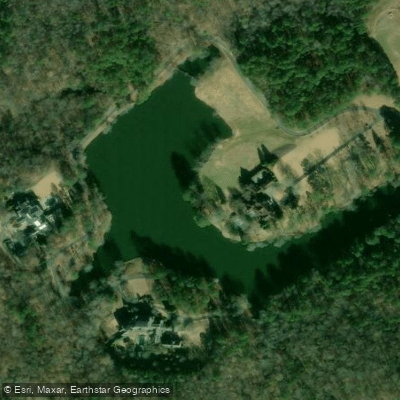
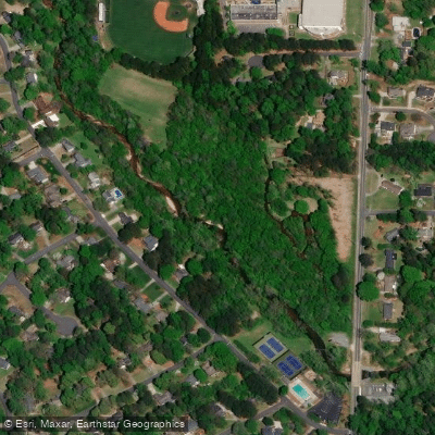
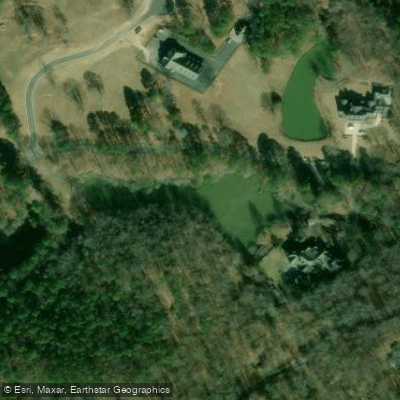
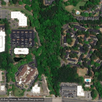
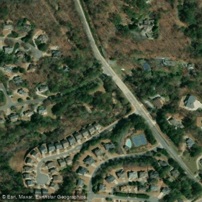
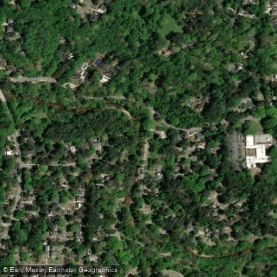
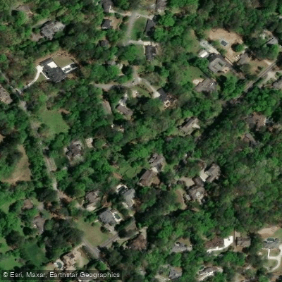
Top waters to fish near Chattahoochee River National Recreation Area
Species & education
Learn what type of fish are in Chattahoochee River National Recreation Area and what's needed to catch them.

Find which waters have the species you want to catch
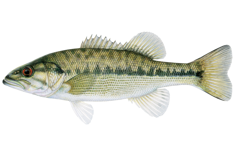
Alabama Bass
Micropterus henshalli
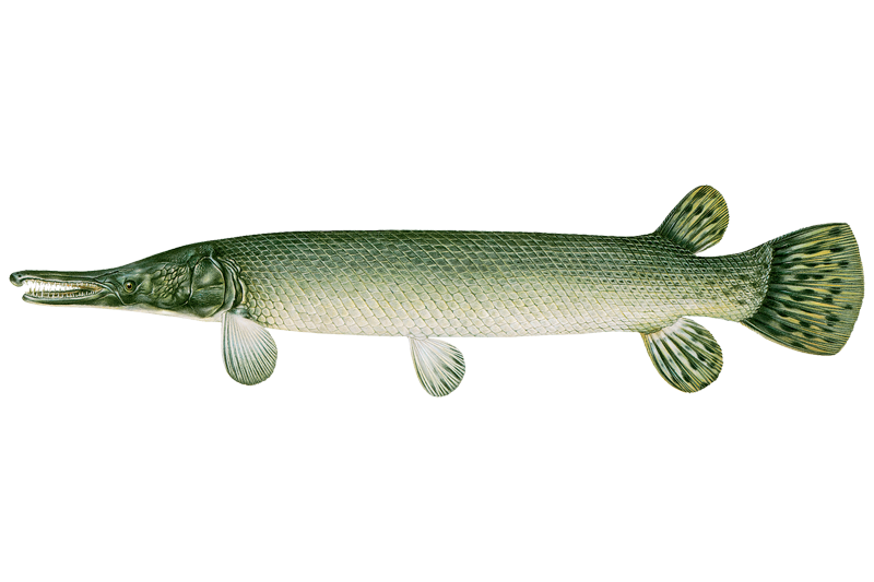
Alligator Gar

American Eel
Anguilla rostrata

Black Crappie
Pomoxis nigromaculatus

Blue Catfish
Ictalurus furcatus
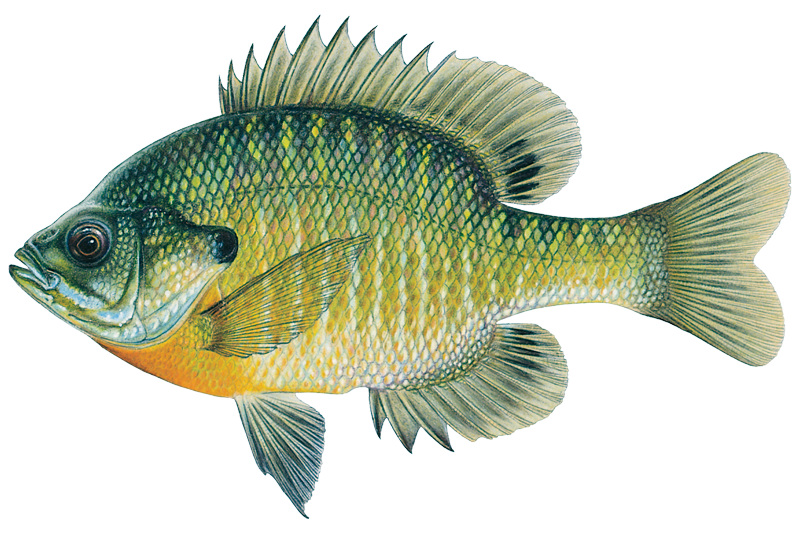
Bluegill
Lepomis macrochirus
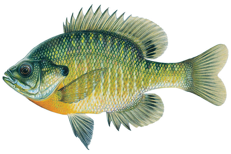
Bluegill Sunfish
Lepomis macrochirus

Brook Trout
Salvelinus fontinalis

Brown Bullhead
Ameiurus nebulosus

Brown Trout

Chain Pickerel
Esox niger

Channel Catfish
Ictalurus punctatus

Flathead Catfish
Pylodictis olivaris

Green Sunfish
Lepomis cyanellus

Largemouth Bass
Micropterus salmoides
Water and weather conditions (10 day forecast)
See the best times to fish Chattahoochee River National Recreation Area and check the forecast before you go.
No forecast data available.
Park alerts & road status
Closures and conditions Chattahoochee River National Recreation Area has posted, from the National Park Service.
Checking the park's alerts…
Hours & fees
When Chattahoochee River National Recreation Area is open and what it costs to get in, from the National Park Service.
Hours
The park lands and waters are open for visitation from 30 minutes before sunrise to 30 minutes after sunset seven days a week. The Island Ford Visitor Center located in historic Hewlett Lodge is open from 9 am to 5 pm seven days a week except Thanksgiving Day and December 25.
Entrance fees
- Entrance - Per Person$5
- Required for visitors age 16+ entering on foot or by bicycle. Valid for one day.
- Entrance - Private Vehicle$5
- Private vehicle pass admits one private vehicle and its occupants for one day.
- Entrance - Motorcycle$5
- Valid for 1 day. Admits up to 2 private, non-commercial motorcycles with up to 4 total passengers.
Parking & getting around
Where to leave the car in Chattahoochee River National Recreation Area. Lots fill early on busy days, so plan where you will park before you head for the water.
Abbotts Bridge Parking Lot
The parking lot is centrally located near the boat launch, picnic pavilion, and restroom facilities. There are restrictions on where different types of vehicles may be parked so please pay attention to the signage.
Accessibility: The entrance road and parking lot are not paved which may be a challenge for some visitors to negotiate. The boat ramp is paved and should be considered accessible.
Akers Drive Parking Lot
Allenbrook Parking Lot
Azalia Drive Parking Lots
Bowmans Island Parking Lot
ClosedThis parking lot is located just inside the park along the road leading to the U.S. Army Corps of Engineers Lower Pool West Parking Lot. The parking lot is not paved and therefore parking capacity is dictated by how close together vehicles are parked.
Chattahoochee Pointe
Chattahoochee River Environmental Education Center Parking Lot
Columns Drive Parking Lots
Accessibility: This parking lot is both paved and gravel with number of spaces evenly split between the lots.
Don White Gravel Parking Lot
ClosedDon White Parking Lots
Closed
Getting around
To find the Island Ford Visitor Center enter the physical address, 8800 Roberts Drive, Sandy Springs, GA 30350, into your GPS unit or your favorite map software. Once you have arrived at the park entrance turn onto Island Ford Parkway and follow the signs to the park headquarters.
Directions on nps.govFishing guides near Chattahoochee River National Recreation Area
Book a trip with a local fishing guide through Guidesly.

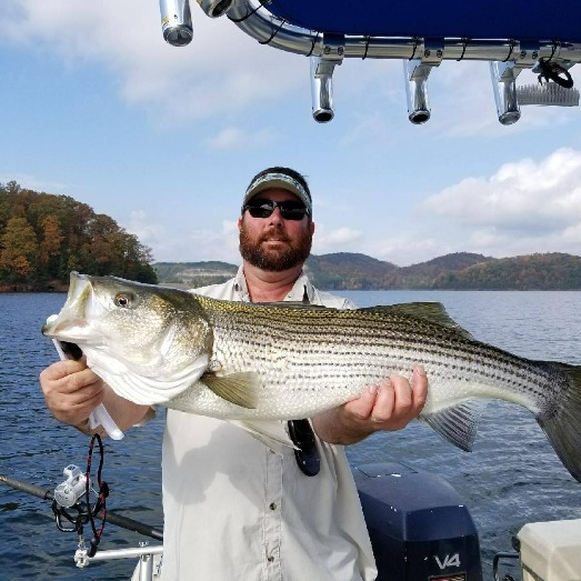
Brad Whitehead
No Excuses Striper Fishing On Lake Lanier
5.0 (15 reviews)
The Best Lake Lanier Fishing Charters In Georgia!
Book on Guidesly, opens in new tab
Josh Thornton
Captain Josh Crappie Fishing
4.8 (8 reviews)
Expert Crappie Fishing in Lake Lanier!
Book on Guidesly, opens in new tab
Justin Utterback
I'd Rather Be Striper Fishing
5.0 (2 reviews)
Experience Georgia's Thrilling Striper Fishing
Book on Guidesly, opens in new tab
Bill Beck
Beck N Call Fishing
5.0 (1 review)
Experience Prime Fishing, Choose Lake Lanier Guide
Book on Guidesly, opens in new tab
Darrell Redd
Redds Southern Striper Guides
5.0 (1 review)
Lake Lanier Striper Fishing Guide Trips
Book on Guidesly, opens in new tab
Corey Hinds
Reel Striper Adventures
5.0 (1 review)
Book With The Best Fishing charters In Cumming GA!
Book on Guidesly, opens in new tab
Fish smarter with real-time insights
Whether you're en route and conditions shift or you're looking for the best spot based on current flows, we enable you to make informed decisions on the fly.




Fishing near Chattahoochee River National Recreation Area
Loading...
Other parks in Georgia
Gateway towns
Where to base yourself for fishing in Chattahoochee River National Recreation Area.
Home to park headquarters and visitor center at Island Ford, plus outfitters offering kayak, paddleboard, and tube rentals on the river.
- RoswellGA
Borders the park at Vickery Creek and Gold Branch units, with lodging, dining, and river access serving the northern corridor.
Close to Jones Bridge and McGinnis Ferry units, with lodging options that serve visitors to the park's upper stretch.
- CummingGA
Gateway to the northernmost Bowmans Island unit near Buford Dam, the upstream end of the river corridor.
Chattahoochee River National Recreation Area fishing rules
The park's own rules, on top of Georgia licenses and regulations. Limits, fees and closures change, so check the park's page before you go.

Georgia License and Trout Stamp Required
You need a valid Georgia fishing license and a trout stamp to fish here, even if you are not targeting trout. Check the Georgia Department of Natural Resources website for current license requirements.

No Live Bait or Seining
Using live bait-fish in the river is prohibited throughout the park. Seining the river for bait-fish is also prohibited.

One Rod Per Angler
You may fish with only one rod at a time. Keep it simple and keep it legal.

No Night Fishing
Fishing is only allowed from 30 minutes before sunrise to 30 minutes after sunset. Night fishing is not permitted anywhere in the park.

Delayed Harvest Catch-and-Release Zone
A stretch of the river from Sope Creek downstream to U.S. 41 follows Delayed Harvest rules during part of the year. In that section and season, all trout must be released immediately and only artificial lures with one single hook per lure are allowed.

PFD Required in Some Sections
Anyone wading between Buford Dam and the Highway 20 Bridge or between Morgan Falls Dam and the Morgan Falls Boat Ramp must wear a life jacket at all times.
Explore Chattahoochee River National Recreation Area
Top fishing waters
Popular Cities
Loading popular cities...

Smarter Fishing Starts in the App.
onWater Fish gives you everything you need to plan smarter, fish better, and own every trip from first cast to last.