Fishing in Cumberland Island National Seashore
- National Seashore
- Lakes
- 3
- Rivers
- 7
- Access
- 0
- Boat Ramps
- 0
- Shops
- 0
- Species
- 15
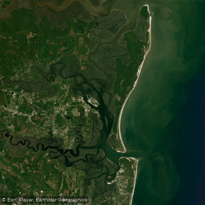
Cumberland Island sits off the southeastern tip of Georgia, separated from the mainland by roughly a mile of water and marshland.
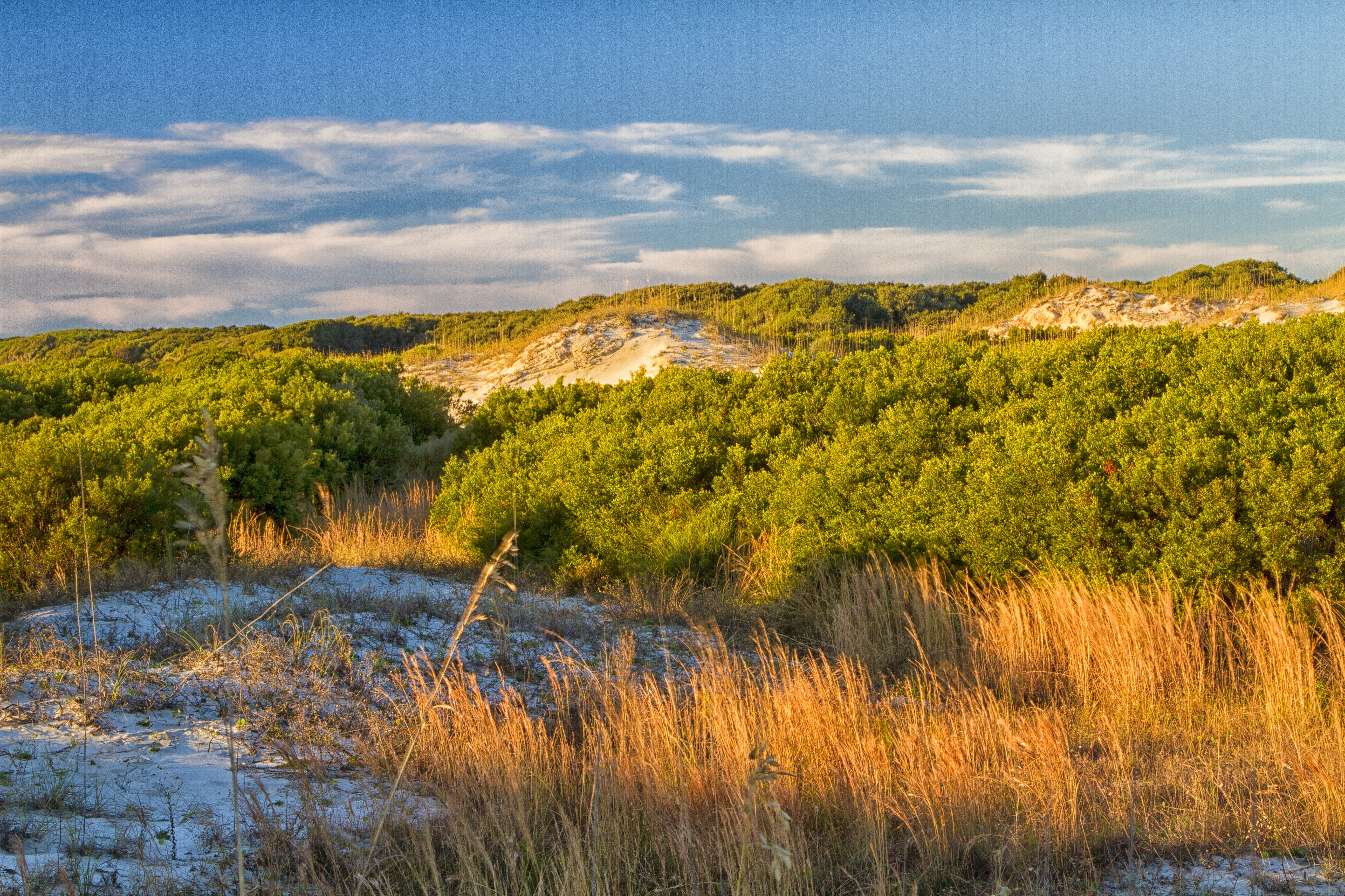
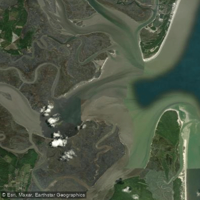
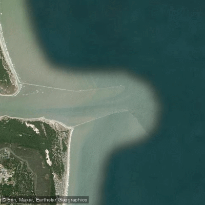
The island runs about 16 miles in length, and the fishing here reflects that geography: ocean surf on the Atlantic side, tidal creeks and marsh edges threading through the interior, freshwater lakes tucked inside the maritime forest, and the sounds and docks on the western shore.
The surf along the undeveloped Atlantic beach is the most accessible fishing on the island, especially for day visitors. Summer through early fall — roughly June through October — is when beach fishing picks up, with cut mullet and shrimp the go-to baits.
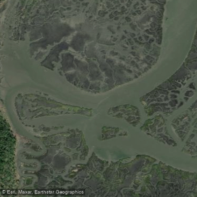
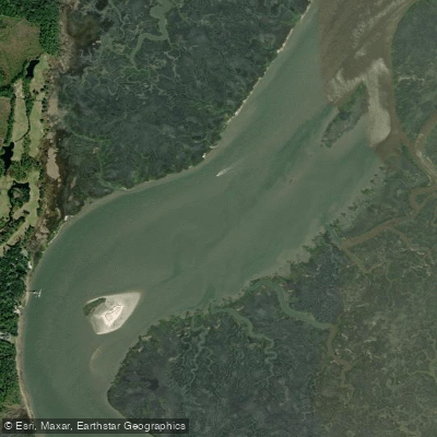
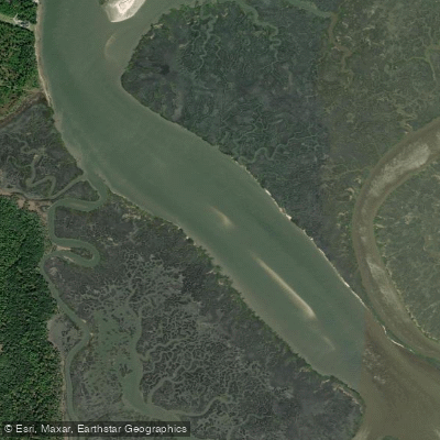
Redfish are a primary target in the tidal creeks and marsh edges that run along the island's western side. Look for them around creek mouths, oyster structure, and anywhere moving water is pushing bait.
Spotted seatrout are worth targeting in the same water, particularly early and late in the day. Whiting and other inshore species show up depending on conditions and season. The marshes also hold shrimp and crabs for those who want to gather rather than cast.
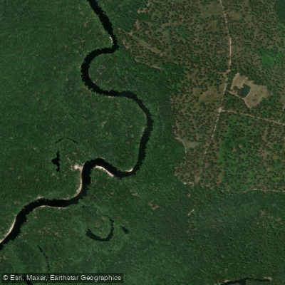
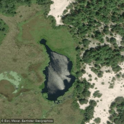
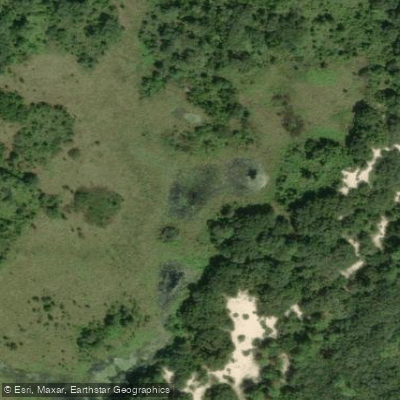
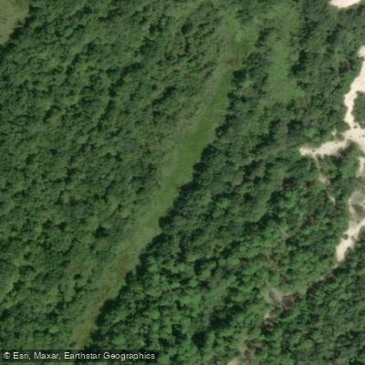
The freshwater lakes inside the island hold bluegill and bass, though reaching them requires real legwork — there are no maintained paths to most of them, and the island's interior is dense.
Sea Camp Dock, Plum Orchard Dock, and Dungeness Dock are all designated fishing spots, though anglers must keep lines and gear clear of boat traffic and docking operations.
Fish cleaning is permitted at the north end of Sea Camp Dock, with remains disposed of in the water. Getting here shapes the whole trip. Most visitors arrive by passenger ferry from St.
Marys — about a 45-minute ride — and the ferry doesn't run on Tuesdays or Wednesdays from December through February. Kayaks cannot come over on the ferry; private boats are the other option.
Fishing makes considerably more sense for those camping multiple nights than for day-trippers working around ferry schedules. No special NPS permit is required to fish, but Georgia DNR rules apply in full.
Anyone 16 or older needs a Georgia Fishing License, and saltwater anglers must also carry the Saltwater Information Program (SIP) permit attached to that license — there's no added cost for the SIP if you already hold a Georgia license.
Check current regulations with Georgia DNR before you go. The island's remoteness is the point. You won't find a bait shop or a dock with a hose. What you will find is undeveloped water with real tidal movement and very few other anglers working it.
Top waters to fish near Cumberland Island National Seashore
Species & education
Learn what type of fish are in Cumberland Island National Seashore and what's needed to catch them.

Find which waters have the species you want to catch

American Eel
Anguilla rostrata

American Shad
Alosa sapidissima

Atlantic Sturgeon
Acipenser oxyrinchus

Black Bullhead
Ameiurus melas

Black Crappie
Pomoxis nigromaculatus

Black Drum
Pogonias cromis
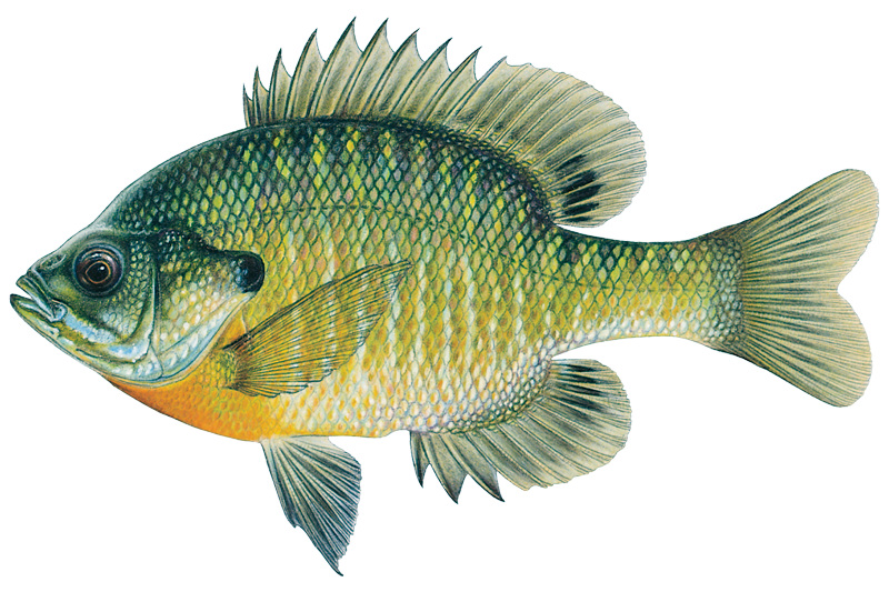
Bluegill
Lepomis macrochirus
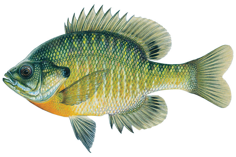
Bluegill Sunfish
Lepomis macrochirus

Bowfin
Amia calva

Brown Bullhead
Ameiurus nebulosus

Bull Shark
Carcharhinus leucas

Chain Pickerel
Esox niger

Channel Catfish
Ictalurus punctatus
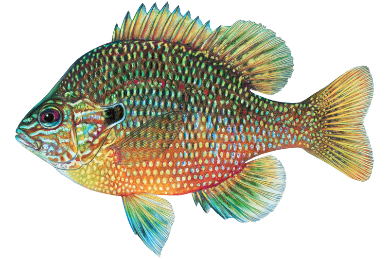
Dollar Sunfish
Lepomis marginatus

Flier
Centrarchus macropterus
Water and weather conditions (10 day forecast)
See the best times to fish Cumberland Island National Seashore and check the forecast before you go.
No forecast data available.
Park alerts & road status
Closures and conditions Cumberland Island National Seashore has posted, from the National Park Service.
Checking the park's alerts…
Hours & fees
When Cumberland Island National Seashore is open and what it costs to get in, from the National Park Service.
Hours
The park is open 24 hours a day, all year. The island is only accessible by boat. The visitor center, other facilities, ferry operations, and docks for private boats all have separate hours, however; please see descriptions of those facilities elsewhere.
Entrance fees
- Entrance - Per Person$15
- Cumberland Island National Seashore has a per-person entrance fee. This fee is waived for America the Beautiful pass holder plus three adults. Must present pass at time of check-in.
Parking & getting around
Where to leave the car in Cumberland Island National Seashore. Lots fill early on busy days, so plan where you will park before you head for the water.
Cumberland Island Visitor Parking
All visitors to Cumberland Island should park in the lot one block west of the Mainland Visitor Center. The tree covered lot is located on the block between Wheeler St. and Seagrove St., behind the park headquarters building. There are two entrances along St. Marys Street and one entrance along Stable Alley. Bus, RV, and over sized parking spaces are located along Seagrove Street.
Getting around
Cumberland Island is only accessible by ferry or private boat. These directions are to the mainland visitor center in St. Marys, GA. Driving Directions To reach the visitor center from Interstate 95: •Take Exit 3 for US 40 •Take US 40 East toward “Historic Downtown St. Marys” •US 40 becomes Osborne Rd. Continue on until you reach the waterfront •Turn right on St. Marys Rd •The visitor center will be two blocks down on your left (113 St. Marys St W, St Marys GA 31558)
Directions on nps.govFishing guides near Cumberland Island National Seashore
Book a trip with a local fishing guide through Guidesly.


Tripp Lang
Captain Tripp Lang's Charters
5.0 (11 reviews)
Discover Georgia's Fishing Charters Haven
Book on Guidesly, opens in new tab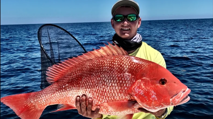
Brandon Hampton
Southern Sport Fishing Charters
5.0 (8 reviews)
Experience the ultimate inshore fishing adventure!
Book on Guidesly, opens in new tab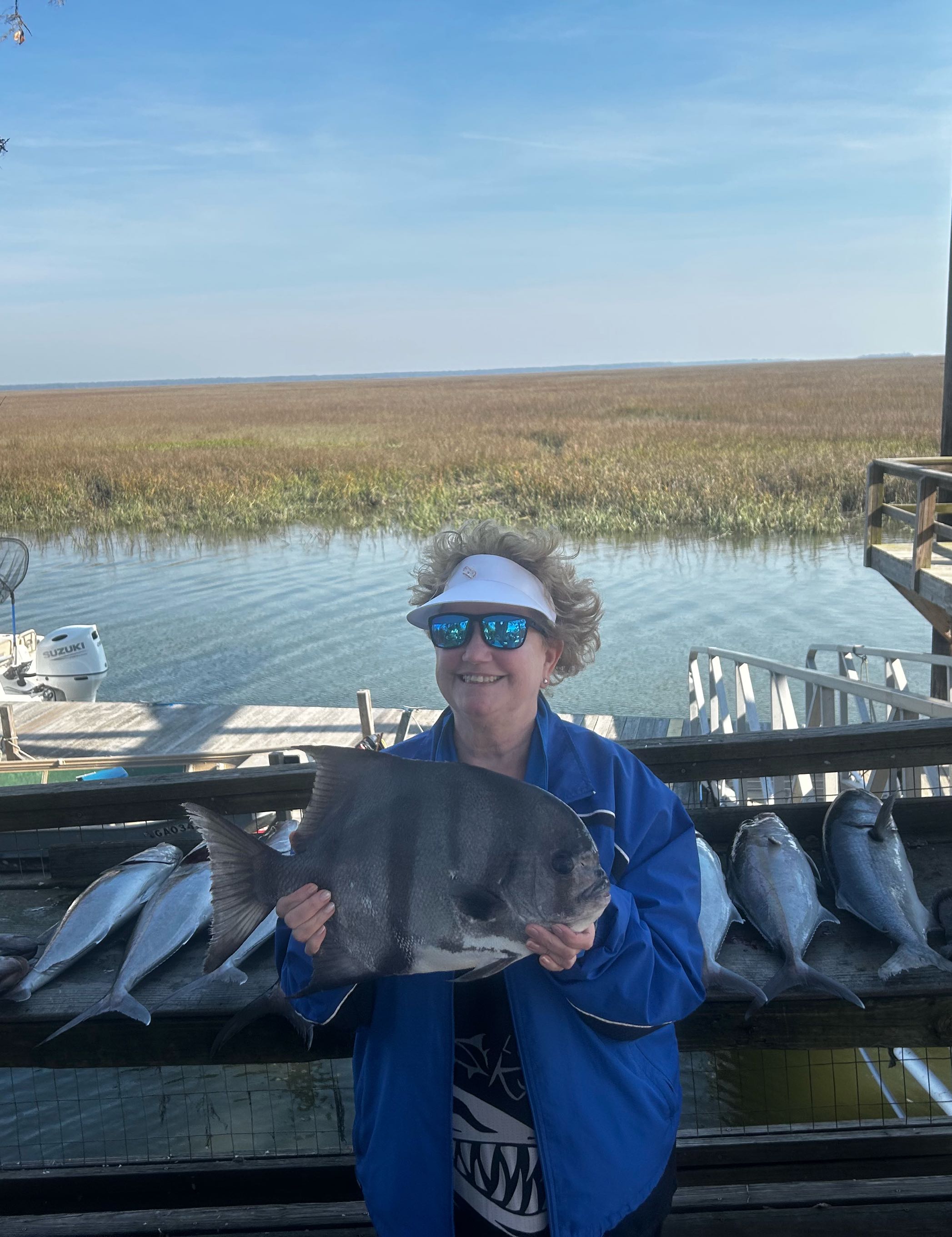
Hector Soto
Stellar Charters
5.0 (6 reviews)
Stellar Fishing Experience in Midway, Georgia!
Book on Guidesly, opens in new tab
Christopher Hazlett
Sweet Lips Fishing Charters
5.0 (5 reviews)
Jacksonville's Premier Sportfishing Charter!
Book on Guidesly, opens in new tab
Robert Bishop
Fishbuster Charters
5.0 (5 reviews)
Inshore and Offshore Trips in Jacksonville, FL!
Book on Guidesly, opens in new tab
Kenny Crawford
Crawfish Charters
5.0 (4 reviews)
Book Amelia Island Fishing Charters!
Book on Guidesly, opens in new tab
Fish smarter with real-time insights
Whether you're en route and conditions shift or you're looking for the best spot based on current flows, we enable you to make informed decisions on the fly.




Fishing near Cumberland Island National Seashore
Loading...
Other parks in Georgia
Gateway towns
Where to base yourself for fishing in Cumberland Island National Seashore.
The main gateway: the NPS visitor center and the only public ferry to Cumberland Island depart from downtown St. Marys.
The closest mainland town to St. Marys, offering hotels and lodging for visitors heading to the island ferry.
Cumberland Island National Seashore fishing rules
The park's own rules, on top of Georgia licenses and regulations. Limits, fees and closures change, so check the park's page before you go.

Georgia Fishing License Required
Anyone 16 or older must have a valid Georgia Fishing License to fish here. No separate NPS permit is needed, but state licensing rules fully apply within the park.

Saltwater Permit Also Required
If you plan to fish in saltwater, you must also carry the Saltwater Information Program Permit attached to your Georgia license. Check with Georgia DNR for current requirements.

Keep Dock Areas Clear
You can fish from Sea Camp, Plum Orchard, and Dungeness Docks, but keep all lines, tackle, floats, and bait buckets out of the path of docking boats at all times.
Explore Cumberland Island National Seashore
Top fishing waters
Popular Cities
Loading popular cities...

Smarter Fishing Starts in the App.
onWater Fish gives you everything you need to plan smarter, fish better, and own every trip from first cast to last.