Lamprey River
Lamprey River
- Boat Ramps
- 5
- Access Points
- 9
- Species
- 19
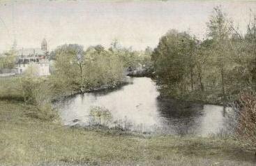
The Lamprey River is a 50.2-mile-long waterway in New Hampshire flowing from the Saddleback Mountains through Meadow Lake in Northwood and ultimately emptying into Great Bay, a tidal inlet of the Atlantic Ocean. Known as one of New Hampshire's most significant rivers, it travels through 14 municipalities in Rockingham County and features five main tributaries: North Branch, Pawtuckaway, North, Little, and Piscassic Rivers. The Lamprey serves as an important water source and is classified as a Class B river (fishable and swimmable). With excellent water quality, the river supports diverse ecosystems within its surrounding wetlands and floodplains. Historically, the river powered sawmills and gristmills, with Wiswall Falls Mills in Durham being one of the most notable. Today, the Lamprey River is a popular recreational destination featuring various landscapes including streams, rapids, and the scenic Packers Falls in Durham. It has been recognized for its outstanding natural and cultural resources, with portions designated as a Wild and Scenic River by the federal government and protected under New Hampshire's Rivers Management and Protection Program.
Species & education
Learn what type of fish are at Lamprey River and what's needed to catch them.

Find which waters have the species you want to catch

Largemouth Bass
Micropterus salmoides

Smallmouth Bass
Micropterus dolomieu

Rainbow Trout
Oncorhynchus mykiss

Brown Trout
Salmo trutta

Brook Trout
Salvelinus fontinalis

Black Crappie
Pomoxis nigromaculatus
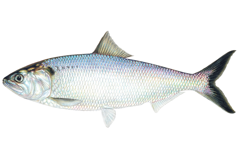
American Shad
Alosa sapidissima

Atlantic Salmon
Salmo salar

Bluegill Sunfish
Lepomis macrochirus

Brown Bullhead
Ameiurus nebulosus
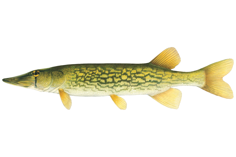
Chain Pickerel
Esox niger
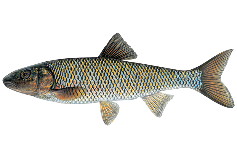
Fallfish
Semotilus corporalis
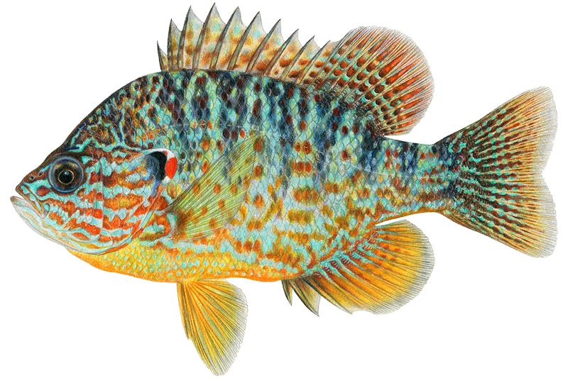
Pumpkinseed
Lepomis gibbosus
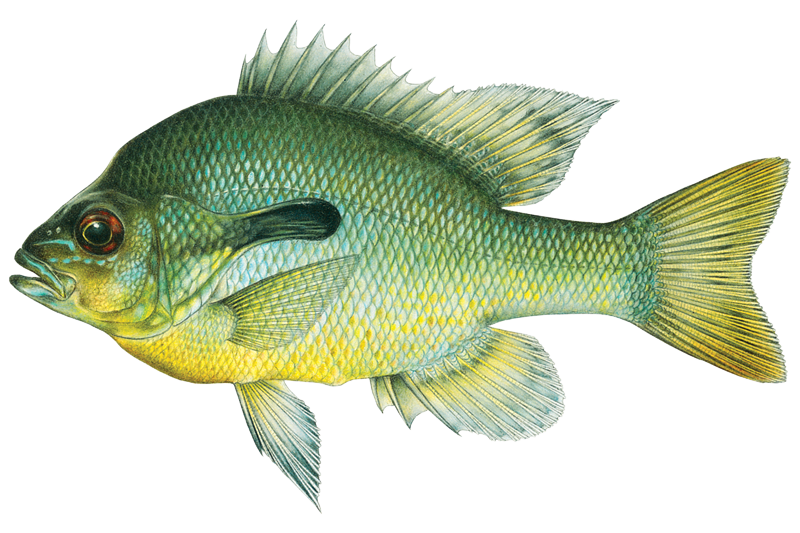
Redbreast Sunfish
Lepomis auritus
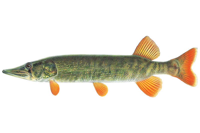
Redfin Pickerel
Esox americanus americanus
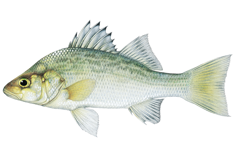
White Perch
Morone americana

White Sucker
Catostomus commersonii

Yellow Bullhead
Ameiurus natalis

Yellow Perch
Perca flavescens
Fish stocking schedule
Latest 5 stockings
- Rainbow Trout1,100 fish · YearlingsMay 22, 2026
- Brook Trout435 fish · YearlingsMay 8, 2026
- Brown Trout250 fish · YearlingsMay 8, 2026
- Brook Trout375 fish · YearlingsMay 8, 2026
- Brown Trout850 fish · YearlingsMay 8, 2026
Source
New Hampshire Fish and Game Department
Updated Nov 13, 2026. Dates are as precise as the agency reports them.
Open stocking page, opens in new tabFishing spots, boat ramps & amenities
Learn how to get on Lamprey River. Uncover great fishing access points, boat ramps, and all the facilities you need for an unforgettable day on the water. Some locations shown may border or include private property. Always check property boundaries and applicable regulations before visiting. onWater's Public & Private Land layer can help you plan your access with confidence.
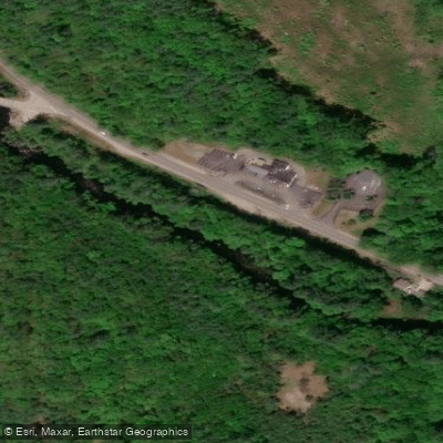
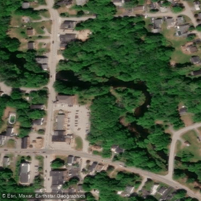
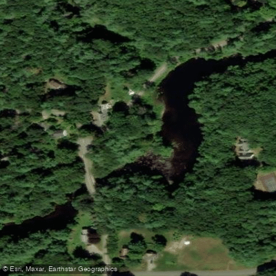
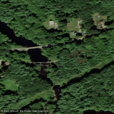
Know where you can legally fish on Lamprey River
See public and private land boundaries along the water, turn on private parcels with owner details to know where permission is required, and find land-trust parcels that offer permitted fishing access.
New Hampshire licenses and regulations

New Hampshire Boating Regulations
When using any type of watercraft to access a body of water, it is important to follow all federal, state, and local rules and regulations. These rules and regulations include boat permitting and licensing, invasive species inspections and stamps, life jacket and PFD rules, motor size and horsepower restrictions, noise limitations, restrictions on personal watercraft, and many more. Visit the web link below for the most current rules and regulations for this body of water.

New Hampshire Fishing License
Persons 16 years or older need a license to fish in freshwater or saltwater in New Hampshire.

New Hampshire Fishing Regulations
This river has a variety of species and regulations, including potential floating and/or watercraft restrictions. Because this river is specially managed for species, seasons, angling methods, and watercraft, it is strongly encouraged you check all federal, state, and local regulations before fishing. Visit any of the links below, inquire locally, or contact a local fly shop to learn current regulations and restrictions.

New Hampshire Stream Access Laws
Fishing is a New Hampshire tradition, one that we strive to pass on to present and future generations. With greater than 70% of New Hampshire’s land under private ownership, access for most shoreline and stream fishing occurs over private property. If we are to maintain the New Hampshire fishing tradition, it is important to remember that access to private land is a privilege provided to us through the generosity of landowners sharing their land. Practicing positive landowner relations is the key to maintaining access for present and future generations of anglers.
Take Lamprey River with you
The onWater Fish app keeps this water's access points, species and conditions in your pocket, with the tools you use once you're there.
Use the map without signal
Download the map around Lamprey River to use it offline when coverage drops.
Log your catches here
Keep a private fishing journal for Lamprey River to find where and when fish are biting for you.
Get the onWater Fish app
Free on iOS and Android
Water and weather conditions (10 day forecast)
See the best times to fish Lamprey River and check the forecast before you go.
LAMPREY RIVER AT LANGFORD ROAD, AT RAYMOND, NH
All Flow Stations
Fishing near Lamprey River
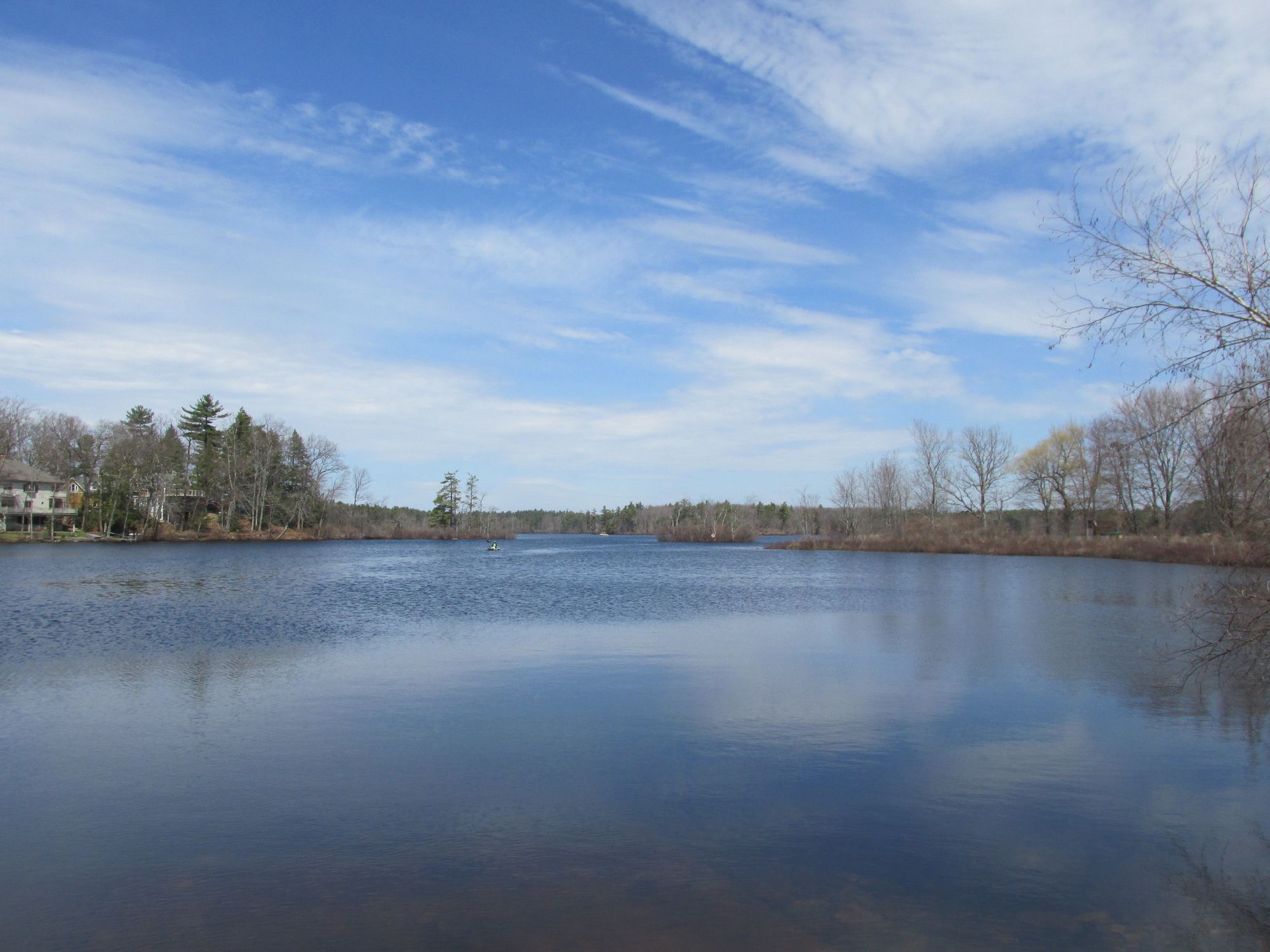
Great Pond
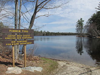
Powwow Pond
Piscataqua River
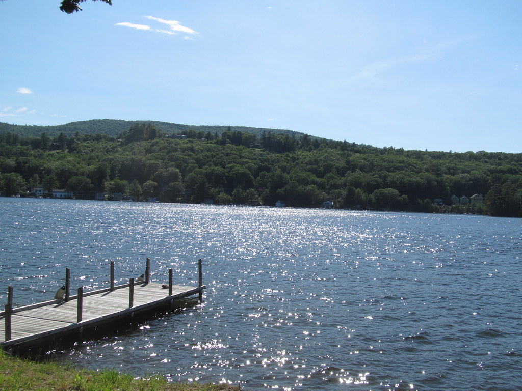
Lake Winnipesaukee
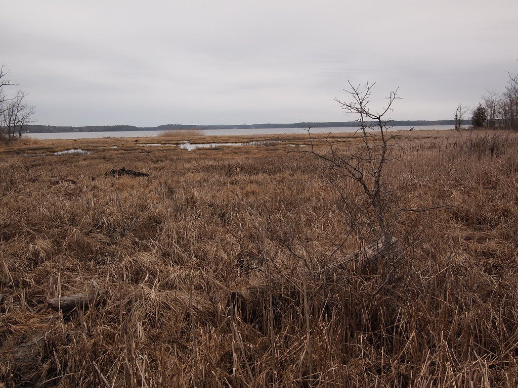
Great Bay

Merrimack River
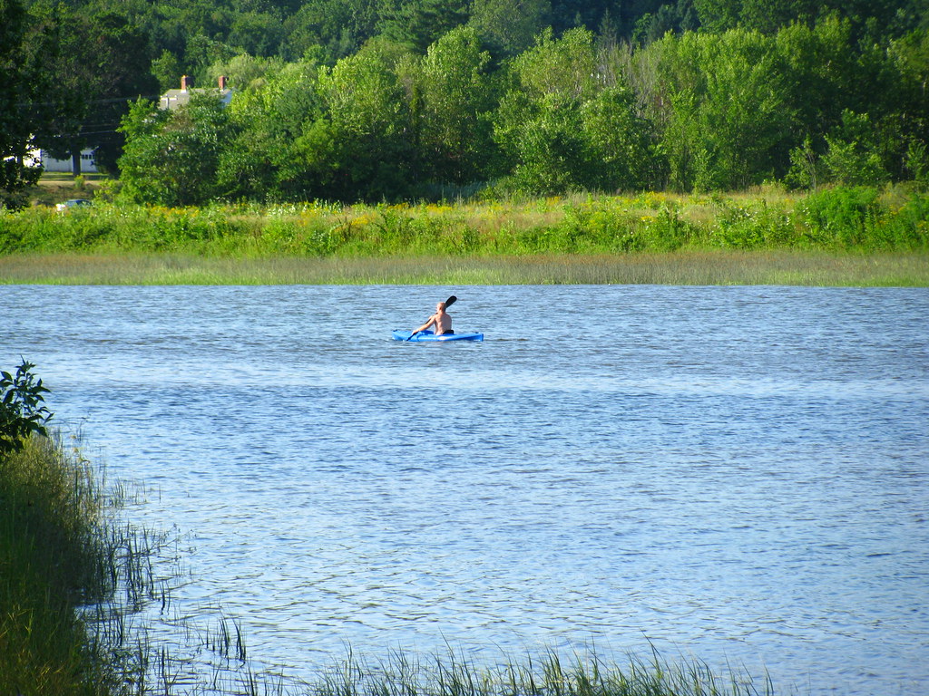
Squamscott River
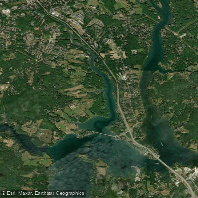
Bellamy River
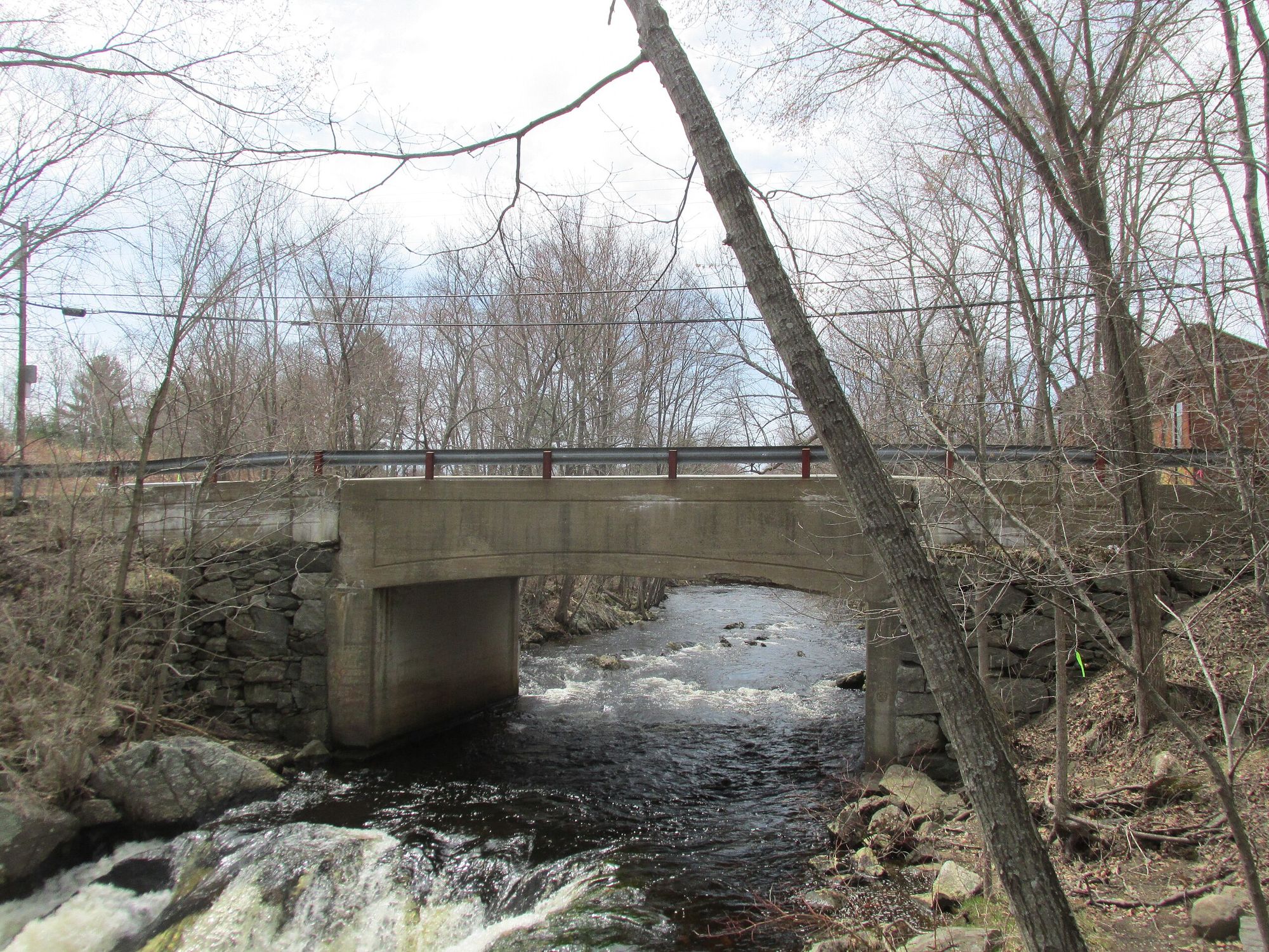
Exeter River
Explore New Hampshire waters
Top fishing waters
Popular Cities
Loading popular cities...
Explore near Lamprey River
Fish species
Fishing spots
- Tilton Conservation Area Boat Ramp
- Freese's Pond Dam Boat Ramp
- Lee Public Boat Ramp
- Carroll Lake Beach Boat Ramp
- Mary Folsom Blair Park Boat Ramp
- Riverside Park Access
- Epping Town Hall Access
- Packers Falls Bridge Site Access
- Wiswall Falls Mill Site Access
- Lamprey River Bridge
- Lamprey River Bridge
- Lamprey River Bridge
- All 87 spots
Nearby waters
More in New Hampshire

Smarter Fishing Starts in the App.
onWater Fish gives you everything you need to plan smarter, fish better, and own every trip from first cast to last.