
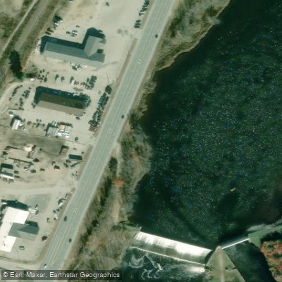




Errol Dam
Androscoggin River · Below Errol Dam · Brookfield Renewable
1,000 cfs now
Next 48 hours
- Today
- 6:00 PM EST to 6:00 PM EST
Forecast updated today at 6:22 PM EST. Schedules can change, so check the operator's page before you go.
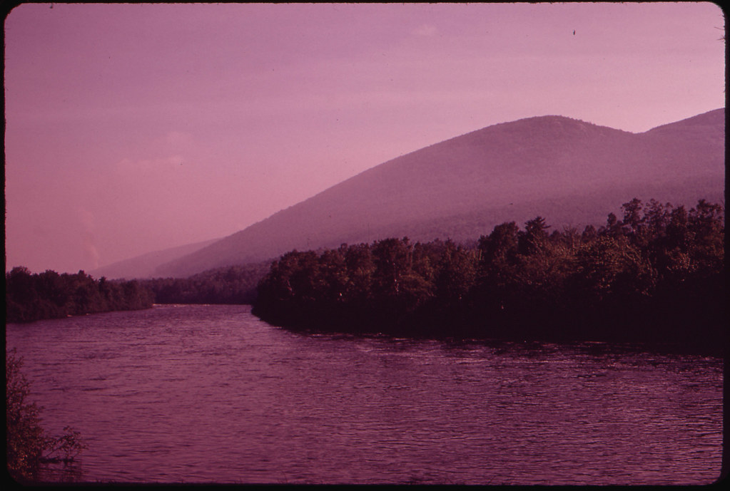
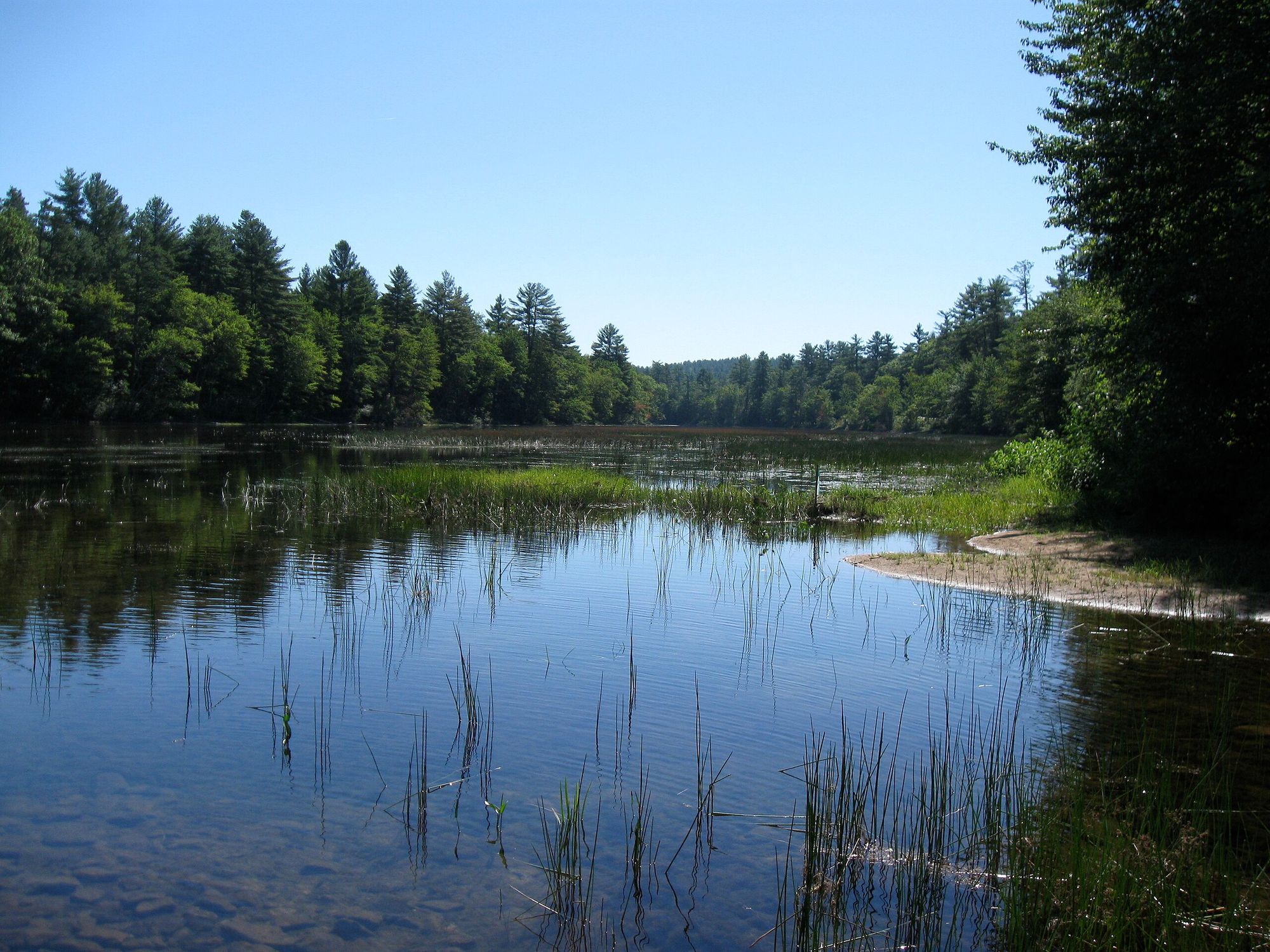
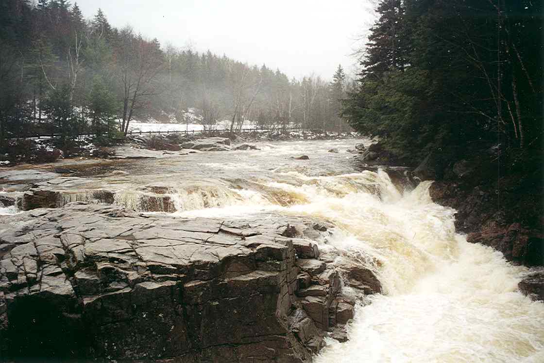
The Androscoggin River is a major waterway that flows through northern New Hampshire and western Maine, spanning approximately 178 miles from its origin at Errol, New Hampshire, where it forms at the confluence of the Magalloway River and the outlet from Umbagog Lake. The river continues through the White Mountains region before turning east into Maine, eventually emptying into the Atlantic Ocean. The Androscoggin underwent a significant transformation following the 2006 closure of the Fraser paper mill in Berlin, NH, which had been a source of pollution for decades. Since then, water quality has improved dramatically, making it one of New England's premier fishing destinations. The river varies greatly in character, from fast-flowing sections with rapids to slower, deeper pools and impoundments, providing diverse fishing opportunities for both coldwater and warmwater species throughout its course.
Learn what type of fish are at Androscoggin River and what's needed to catch them.

Micropterus salmoides

Micropterus dolomieu

Oncorhynchus mykiss

Salmo trutta

Salvelinus fontinalis
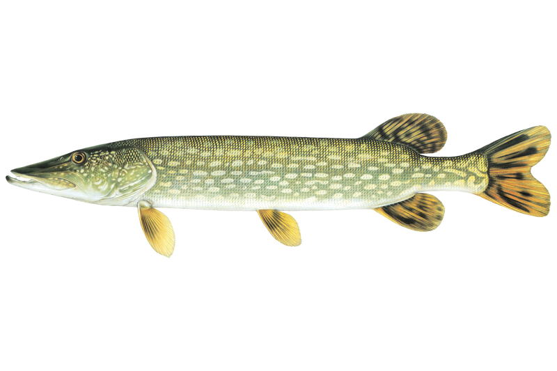
Esox lucius

Pomoxis nigromaculatus
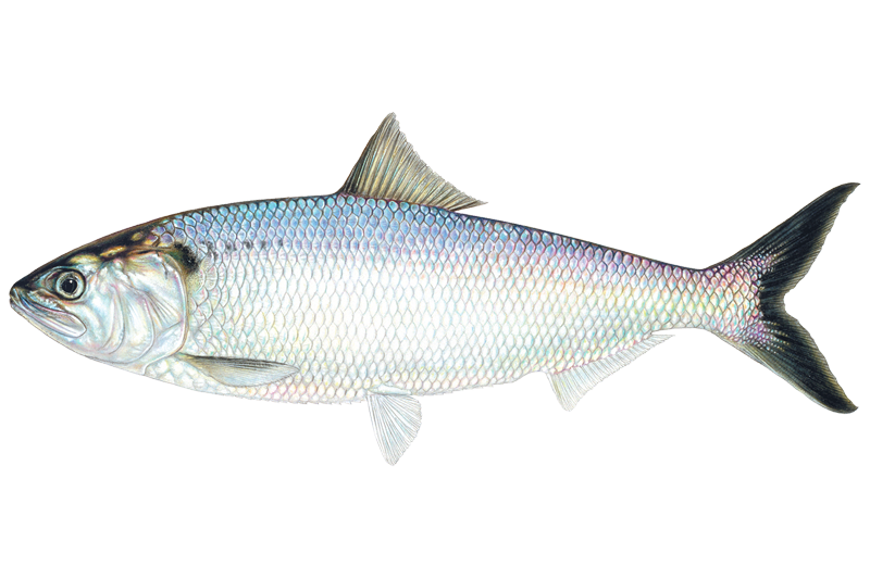
Alosa sapidissima

Salmo salar

Lepomis macrochirus
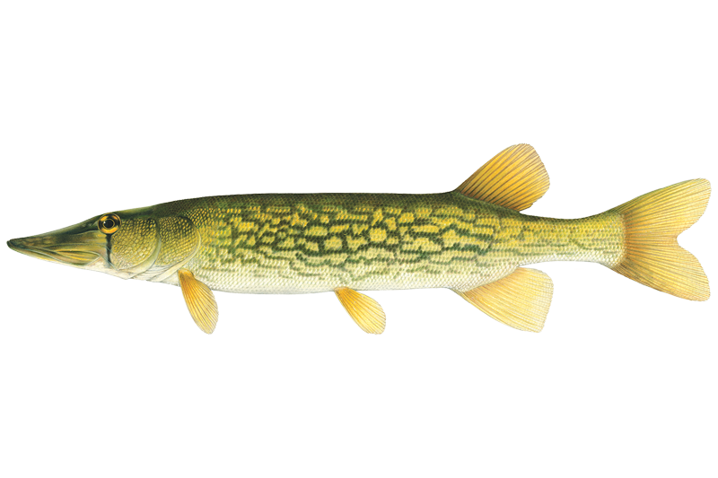
Esox niger

Ictalurus punctatus
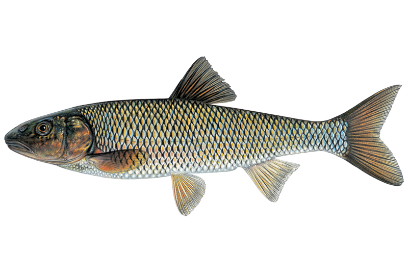
Semotilus corporalis
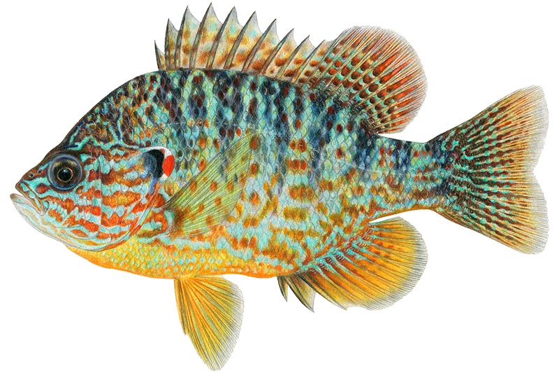
Lepomis gibbosus
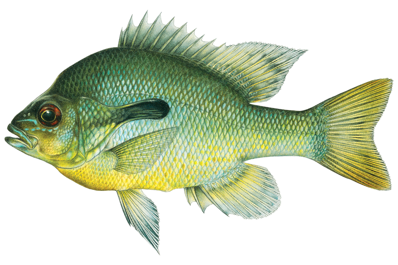
Lepomis auritus

Ambloplites rupestris

Catostomus commersonii

Perca flavescens
New Hampshire Fish and Game Department
Updated Nov 13, 2026. Dates are as precise as the agency reports them.
Open stocking page, opens in new tabLearn how to get on Androscoggin River. Uncover great fishing access points, boat ramps, and all the facilities you need for an unforgettable day on the water. Some locations shown may border or include private property. Always check property boundaries and applicable regulations before visiting. onWater's Public & Private Land layer can help you plan your access with confidence.
See public and private land boundaries along the water, turn on private parcels with owner details to know where permission is required, and find land-trust parcels that offer permitted fishing access.
When using any type of watercraft to access a body of water, it is important to follow all federal, state, and local rules and regulations. These rules and regulations include boat permitting and licensing, invasive species inspections and stamps, life jacket and PFD rules, motor size and horsepower restrictions, noise limitations, restrictions on personal watercraft, and many more. Visit the web link below for the most current rules and regulations for this body of water.
A valid Maine fishing license is required for anyone 16 years of age or older, to fish in inland waters or transport fish taken from inland waters. A person is required to keep their fishing license with them at all times while fishing or transporting fish and must exhibit their license for inspection by any warden, department employee, guide, or landowner upon request. An electronic license or permit can now be displayed in lieu of a physical paper license or permit.
This river has a variety of species and regulations, including potential floating and/or watercraft restrictions. Because this river is specially managed for species, seasons, angling methods, and watercraft, it is strongly encouraged you check all federal, state, and local regulations before fishing. Visit any of the links below, inquire locally, or contact a local fly shop to learn current regulations and restrictions.
"All streams of sufficient capacity in their natural condition to float boats, rafts or logs, are deemed public highways and as such are subject to the use of the public."
The onWater Fish app keeps this water's access points, species and conditions in your pocket, with the tools you use once you're there.
Download the map around Androscoggin River to use it offline when coverage drops.
Keep a private fishing journal for Androscoggin River to find where and when fish are biting for you.
Get the onWater Fish app
Free on iOS and Android
See the best times to fish Androscoggin River and check the forecast before you go.
All Flow Stations
Scheduled releases and generation forecasts from the dams on Androscoggin River.
Androscoggin River · Below Errol Dam · Brookfield Renewable
1,000 cfs now
Forecast updated today at 6:22 PM EST. Schedules can change, so check the operator's page before you go.
Androscoggin River · Pontook reach · Brookfield Renewable
350 cfs now
Forecast updated today at 6:22 PM EST. Schedules can change, so check the operator's page before you go.
Book a trip with a local fishing guide through Guidesly.

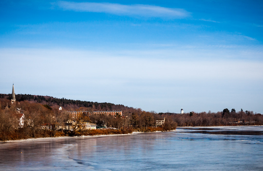
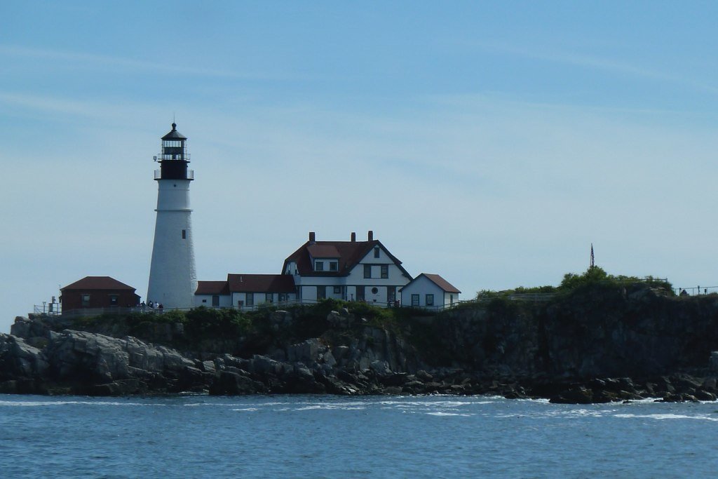
Loading popular cities...
onWater Fish gives you everything you need to plan smarter, fish better, and own every trip from first cast to last.