Cedar Lake

Cedar Lake
- Boat Ramps
- 1
- Access Points
- 1
- Species
- 18
Cedar Lake, located in Lake County, Indiana, stands as the fourth largest natural lake in the state at 784 acres, stretching 2.1 miles long and 0.9 miles at its widest point with a maximum depth of approximately 30 feet. This northwest Indiana gem has been a popular fishing destination since the time of the Potawatomi Indians who used the area as part of their food trail in the early 1800s. The lake's clear waters and abundant fish populations make it an ideal spot for anglers of all skill levels, offering both shoreline and boat fishing opportunities with plenty of inlets, coves, and bays to explore.
Species & education
Learn what type of fish are at Cedar Lake and what's needed to catch them.

Find which waters have the species you want to catch

Largemouth Bass
Micropterus salmoides

Smallmouth Bass
Micropterus dolomieu
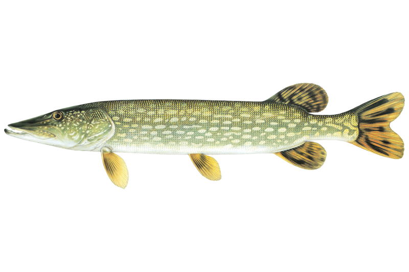
Northern Pike
Esox lucius
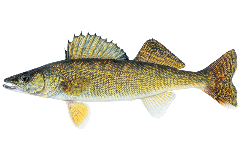
Walleye
Sander vitreus

Black Crappie
Pomoxis nigromaculatus

Bluegill Sunfish
Lepomis macrochirus

Brown Bullhead
Ameiurus nebulosus

Channel Catfish
Ictalurus punctatus

Common Carp
Cyprinus carpio
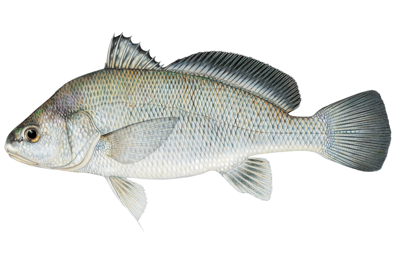
Freshwater Drum
Aplodinotus grunniens
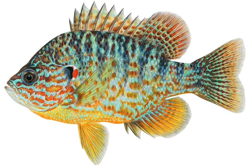
Pumpkinseed
Lepomis gibbosus
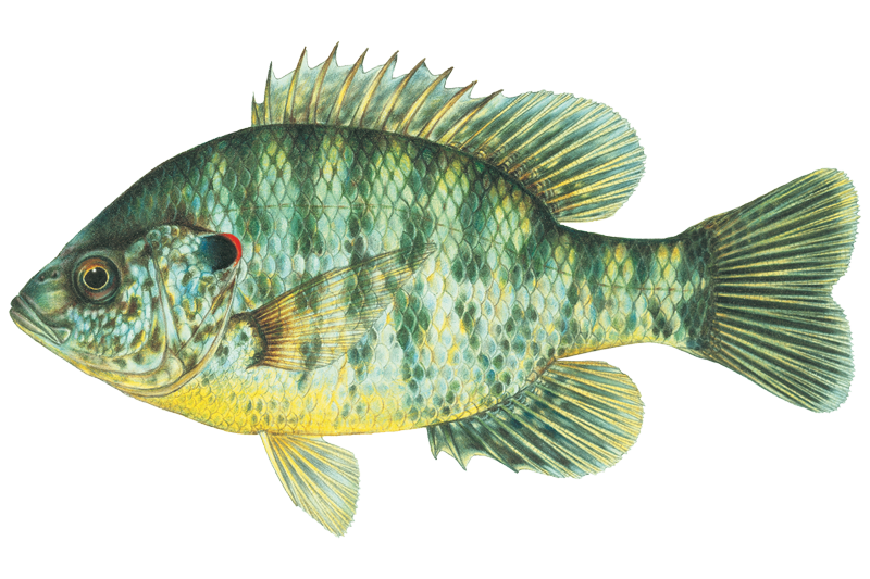
Redear Sunfish
Lepomis microlophus

White Bass
Morone chrysops
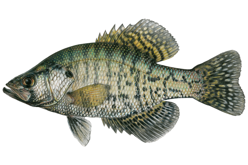
White Crappie
Pomoxis annularis
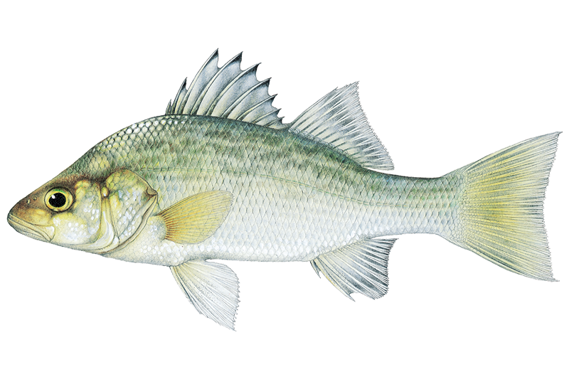
White Perch
Morone americana

White Sucker
Catostomus commersonii

Yellow Bullhead
Ameiurus natalis

Yellow Perch
Perca flavescens
Fish stocking schedule
Latest 5 stockings
- Saugeye39,050 fish · 1.4 in2026
- Saugeye76,675 fish · 1.4 in2025
- Hybrid Striped Bass7,810 fish · 1.5 in2025
- Walleye3,163 fish · 6.1 in2024
- Hybrid Striped Bass7,810 fish · 1.3 in2024
Source
Indiana Department of Natural Resources
Updated Nov 13, 2026. Sizes are the length the agency reports. Dates are as precise as the agency reports them.
Open stocking page, opens in new tabFishing spots, boat ramps & amenities
Learn how to get on Cedar Lake. Uncover great fishing access points, boat ramps, and all the facilities you need for an unforgettable day on the water. Some locations shown may border or include private property. Always check property boundaries and applicable regulations before visiting. onWater's Public & Private Land layer can help you plan your access with confidence.

Know where you can legally fish on Cedar Lake
See public and private land boundaries along the water, turn on private parcels with owner details to know where permission is required, and find land-trust parcels that offer permitted fishing access.
Indiana licenses and regulations

Indiana Boating Regulations
When using any type of watercraft to access a body of water, it is important to follow all federal, state, and local rules and regulations. These rules and regulations include boat permitting and licensing, invasive species inspections and stamps, life jacket and PFD rules, motor size and horsepower restrictions, noise limitations, restrictions on personal watercraft, and many more. Visit the web link below for the most current rules and regulations for this body of water.

Indiana Fishing License
Non-resident youth age 17 or younger are exempt from a fishing license, state migratory waterfowl stamp, and gamebird habitat stamp.

Indiana Fishing Regulations
This river has a variety of species and regulations, including potential floating and/or watercraft restrictions. Because this river is specially managed for species, seasons, angling methods, and watercraft, it is strongly encouraged you check all federal, state, and local regulations before fishing. Visit any of the links below, inquire locally, or contact a local fly shop to learn current regulations and restrictions.

Indiana Stream Access Laws
Public recreation and boating are allowed on all navigable, state-owned waters/riverbeds. That determination, however, can be difficult to ascertain. We recommend consulting a stream roster on indiana.gov
Take Cedar Lake with you
The onWater Fish app keeps this water's access points, species and conditions in your pocket, with the tools you use once you're there.
Use the map without signal
Download the map around Cedar Lake to use it offline when coverage drops.
Log your catches here
Keep a private fishing journal for Cedar Lake to find where and when fish are biting for you.
HD depth charts from Garmin
Find drop offs, ledges, channels, points and shallow flats with Garmin depth charts in the app.
Get the onWater Fish app
Free on iOS and Android
Water and weather conditions (10 day forecast)
See the best times to fish Cedar Lake and check the forecast before you go.
No forecast data available.
Fishing near Cedar Lake
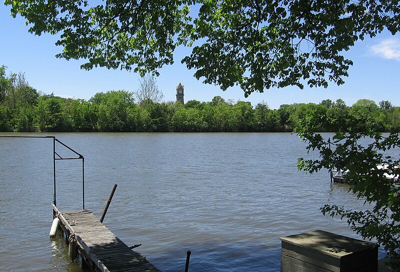
Kankakee River
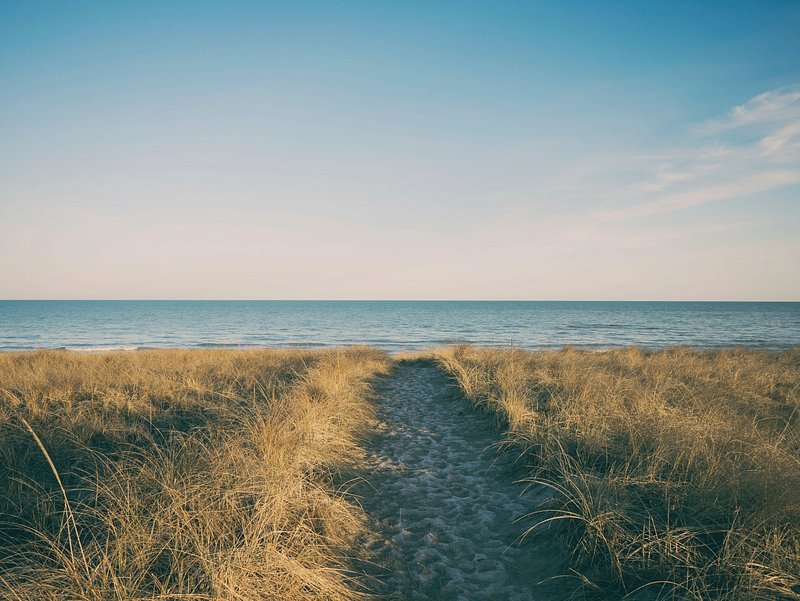
Lake Michigan
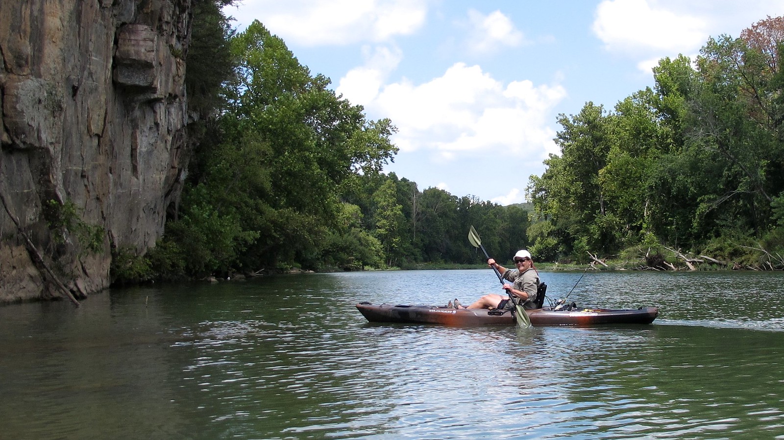
Illinois River
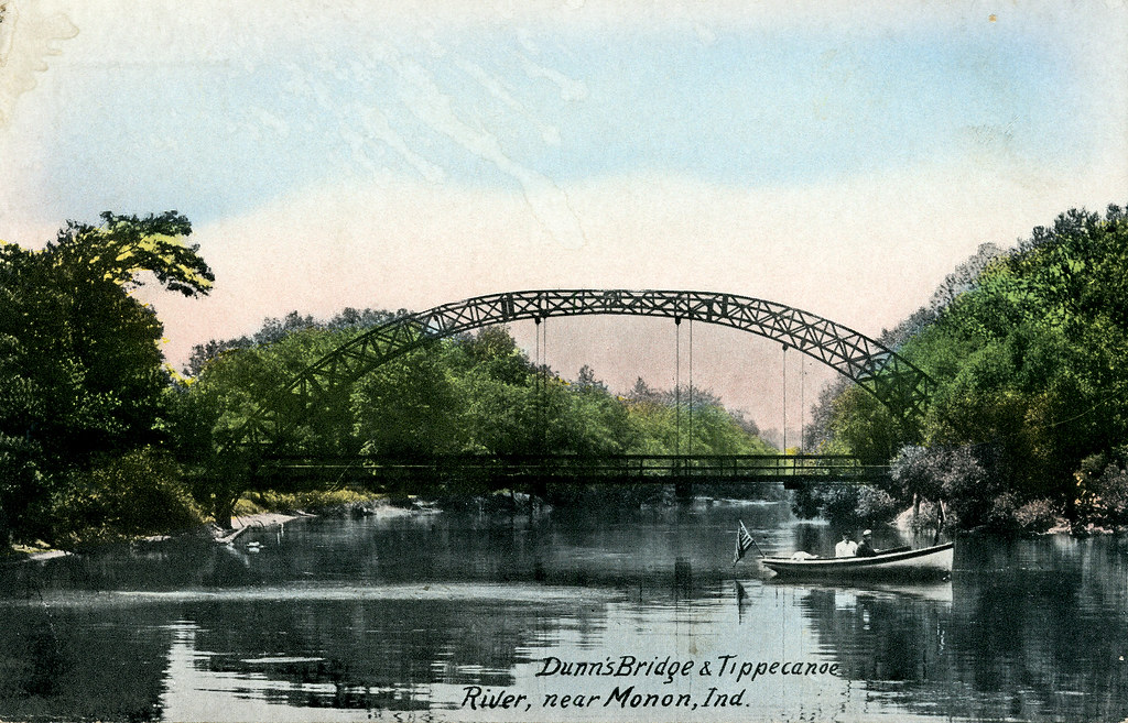
Tippecanoe River
Deep River
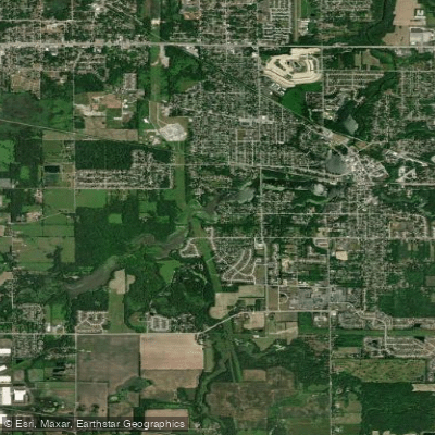
Lake George
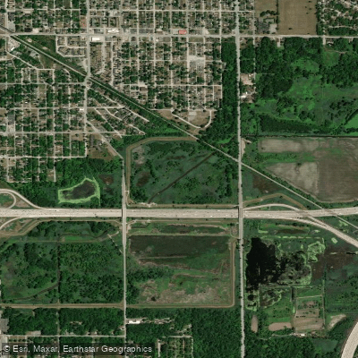
Little Calumet River
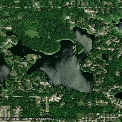
Loomis Lake
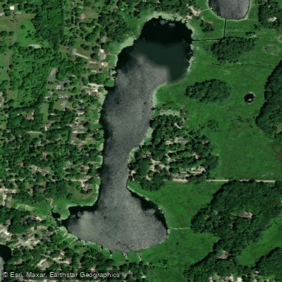
Long Lake
Explore Indiana waters
Top fishing waters
Popular Cities
Loading popular cities...
Explore near Cedar Lake
Fish species
Fishing spots
Nearby waters
More in Indiana

Smarter Fishing Starts in the App.
onWater Fish gives you everything you need to plan smarter, fish better, and own every trip from first cast to last.