Upper Peoria Lake
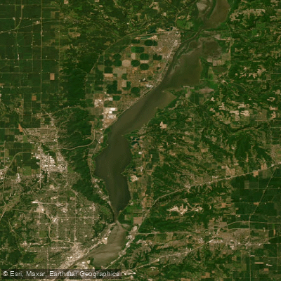
Upper Peoria Lake
- Boat Ramps
- 10
- Access Points
- 10
- Species
- 39
Upper Peoria Lake is a significant section of the Illinois River located between Peoria County and Woodford County in central Illinois. This expansive waterbody stretches from South Rome to Peoria Heights, with Spring Bay and the Detweiller Marina area near the middle. It empties into the smaller Peoria Lake (sometimes called Lower Peoria Lake) at approximately river mile 166.5. Originally formed during the Wisconsin glaciation period, Upper Peoria Lake is a remnant of old Glacial Lake Illinois. The lake has faced considerable sedimentation challenges over the years, with the average depth being only about 2.6 feet outside the navigation channel, and Upper Peoria Lake specifically averaging only about 2 feet deep. Despite these challenges, it remains a premier fishing destination in central Illinois, offering excellent opportunities for multiple sportfish species.
Species & education
Learn what type of fish are at Upper Peoria Lake and what's needed to catch them.

Find which waters have the species you want to catch

Largemouth Bass
Micropterus salmoides

Smallmouth Bass
Micropterus dolomieu
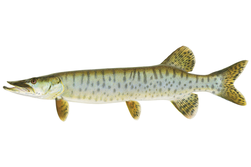
Muskellunge
Esox masquinongy
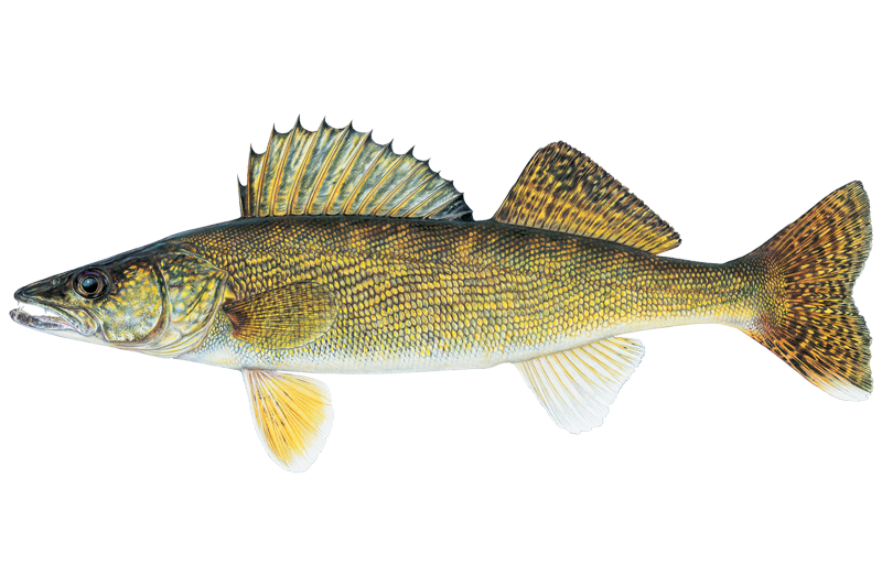
Walleye
Sander vitreus

Black Crappie
Pomoxis nigromaculatus
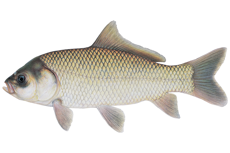
Bigmouth Buffalo
Ictiobus cyprinellus

Black Bullhead
Ameiurus melas

Bluegill Sunfish
Lepomis macrochirus

Channel Catfish
Ictalurus punctatus
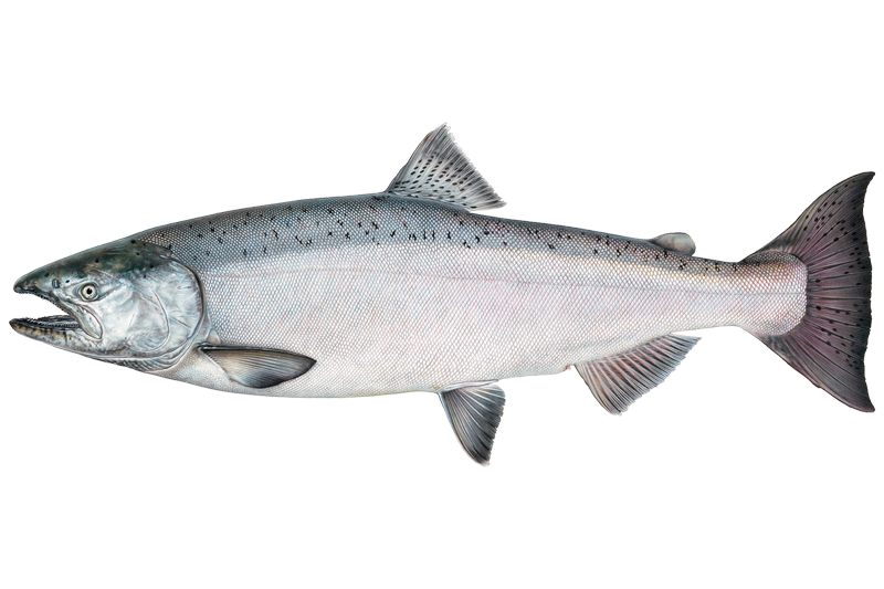
Chinook Salmon
Oncorhynchus tshawytscha

Common Carp
Cyprinus carpio

Flathead Catfish
Pylodictis olivaris
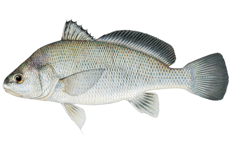
Freshwater Drum
Aplodinotus grunniens
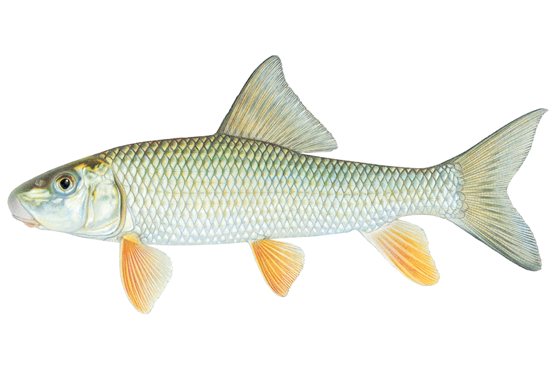
Golden Redhorse
Moxostoma erythrurum
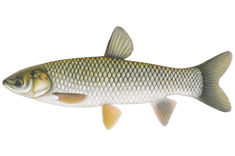
Grass Carp

Green Sunfish
Lepomis cyanellus
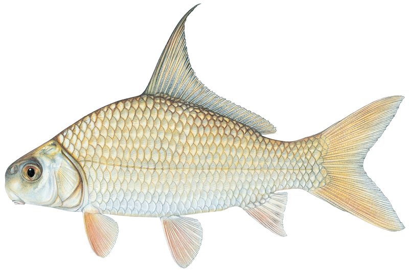
Highfin Carpsucker
Carpiodes velifer
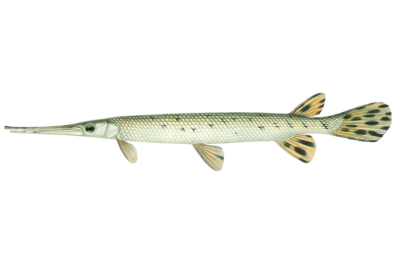
Longnose Gar
Lepisosteus osseus

Orangespotted Sunfish
Lepomis humilis
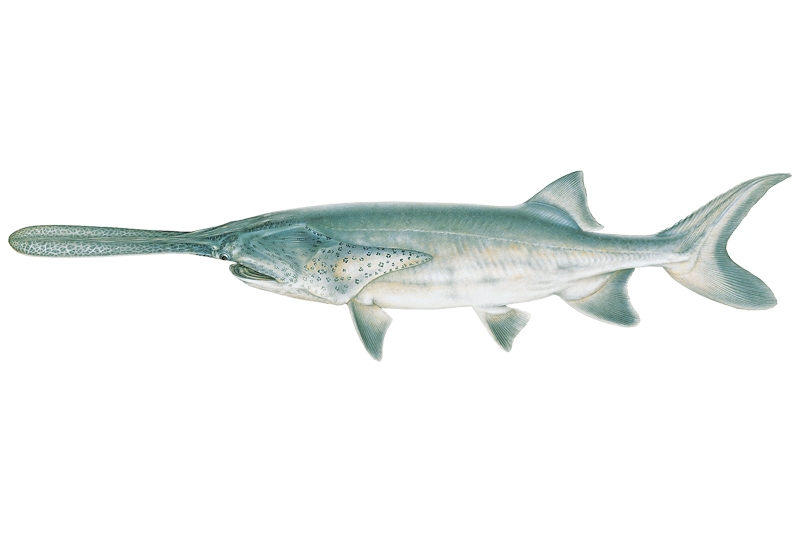
Paddlefish
Polyodon spathula
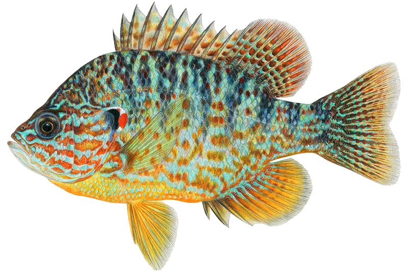
Pumpkinseed
Lepomis gibbosus

Quillback Carpsucker
Carpiodes cyprinus
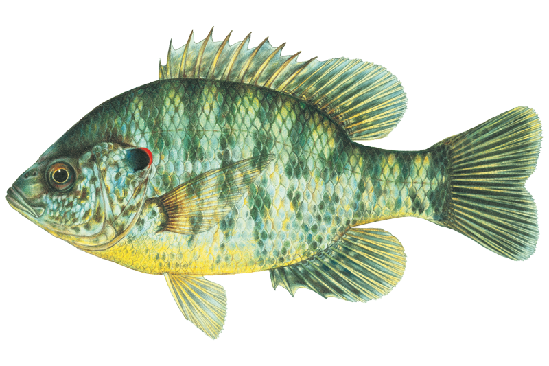
Redear Sunfish
Lepomis microlophus
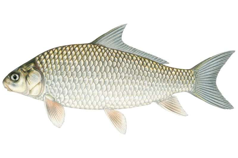
River Carpsucker
Carpiodes carpio

Rock Bass
Ambloplites rupestris
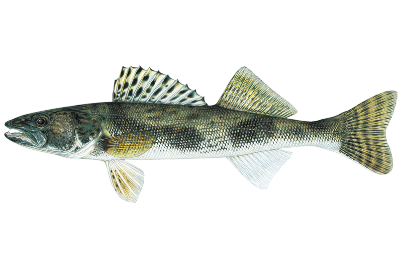
Sauger
Sander canadensis
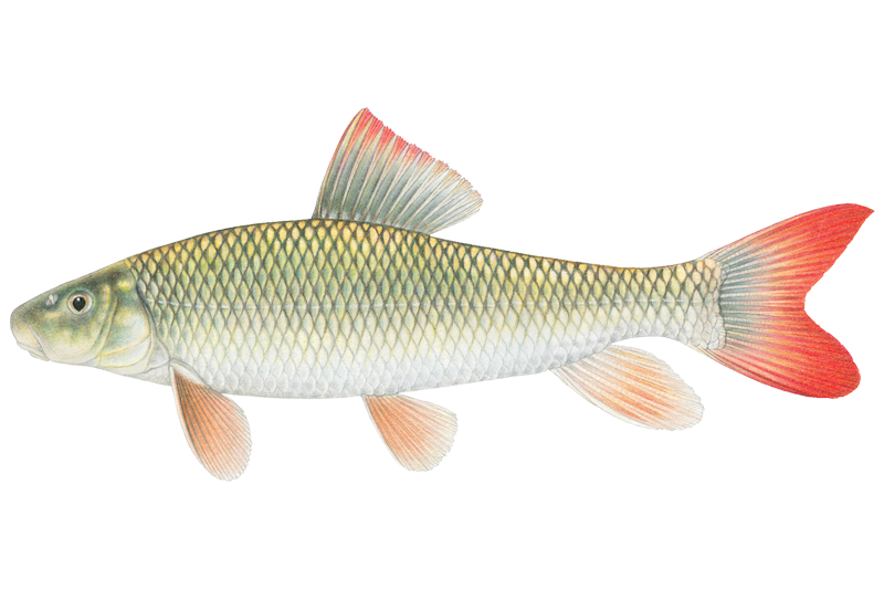
Shorthead Redhorse Sucker
Moxostoma macrolepidotum
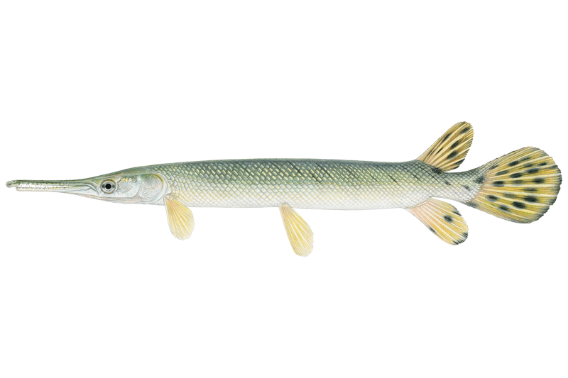
Shortnose Gar
Lepisosteus platostomus
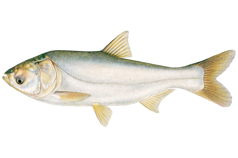
Silver Carp
Hypophthalmichthys molitrix
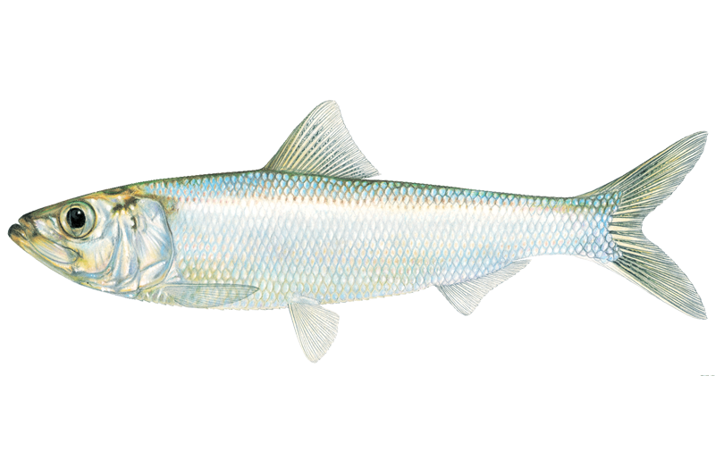
Skipjack Herring
Alosa chrysochloris
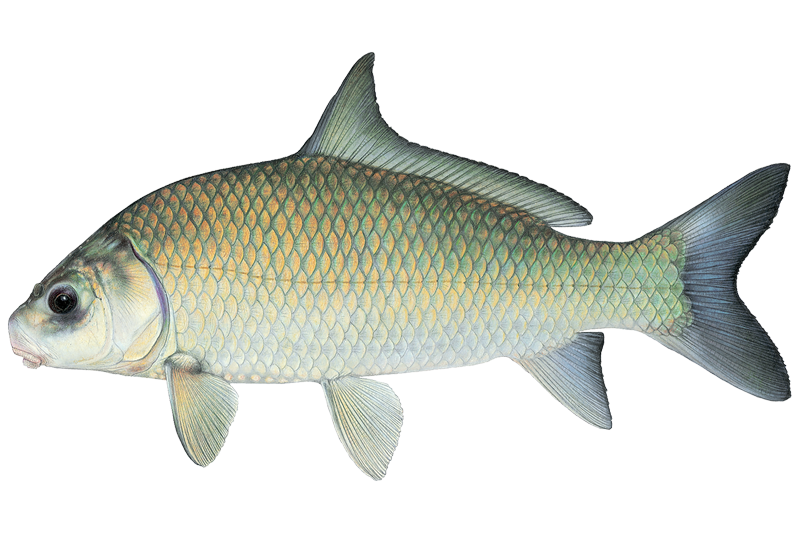
Smallmouth Buffalo
Ictiobus bubalus
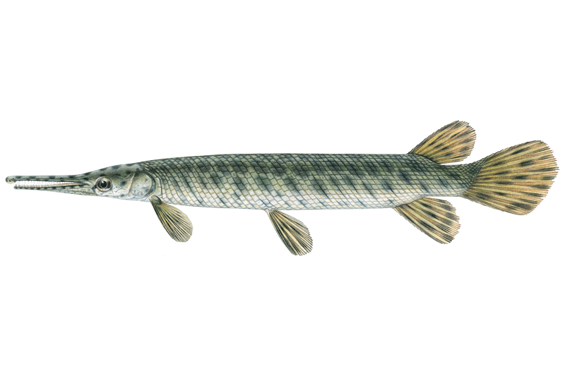
Spotted Gar
Lepisosteus oculatus

White Bass
Morone chrysops
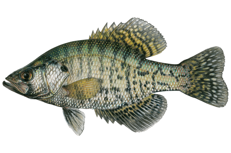
White Crappie
Pomoxis annularis
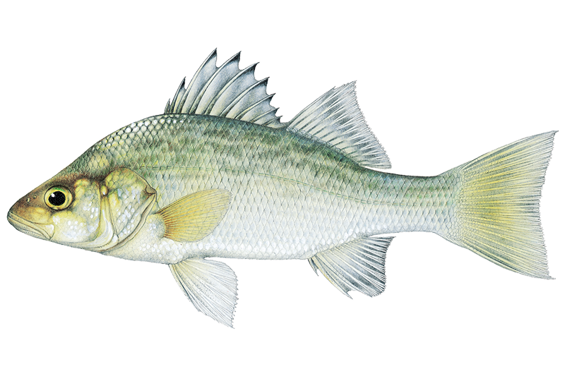
White Perch
Morone americana

White Sucker
Catostomus commersonii

Yellow Bass
Morone mississippiensis

Yellow Bullhead
Ameiurus natalis

Yellow Perch
Perca flavescens
Fishing spots, boat ramps & amenities
Learn how to get on Upper Peoria Lake. Uncover great fishing access points, boat ramps, and all the facilities you need for an unforgettable day on the water. Some locations shown may border or include private property. Always check property boundaries and applicable regulations before visiting. onWater's Public & Private Land layer can help you plan your access with confidence.
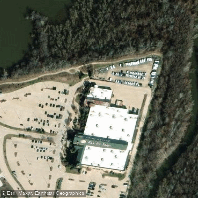
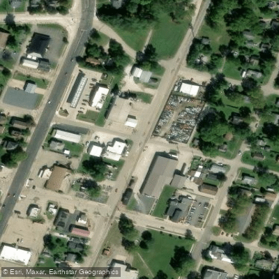
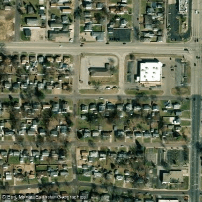
Know where you can legally fish on Upper Peoria Lake
See public and private land boundaries along the water, turn on private parcels with owner details to know where permission is required, and find land-trust parcels that offer permitted fishing access.
Illinois licenses and regulations

Illinois Boating Regulations
When using any type of watercraft to access a body of water, it is important to follow all federal, state, and local rules and regulations. These rules and regulations include boat permitting and licensing, invasive species inspections and stamps, life jacket and PFD rules, motor size and horsepower restrictions, noise limitations, restrictions on personal watercraft, and many more. Visit the web link below for the most current rules and regulations for this body of water.

Illinois Fishing License
All individuals who are 16 and over are required to have a fishing license. All youth who are below 16 may fish without a license.

Illinois Fishing Regulations
This river has a variety of species and regulations, including potential floating and/or watercraft restrictions. Because this river is specially managed for species, seasons, angling methods, and watercraft, it is strongly encouraged you check all federal, state, and local regulations before fishing. Visit any of the links below, inquire locally, or contact a local fly shop to learn current regulations and restrictions.

Illinois Steam Access Laws
If the waterway is navigable in fact and the streambed is publicly owned, it is most likely fully accessible. If the streambed is privately owned, it is only accessible for navigation, not for hunting, fishing or portage.
Take Upper Peoria Lake with you
The onWater Fish app keeps this water's access points, species and conditions in your pocket, with the tools you use once you're there.
Use the map without signal
Download the map around Upper Peoria Lake to use it offline when coverage drops.
Log your catches here
Keep a private fishing journal for Upper Peoria Lake to find where and when fish are biting for you.
HD depth charts from Garmin
Find drop offs, ledges, channels, points and shallow flats with Garmin depth charts in the app.
Get the onWater Fish app
Free on iOS and Android
Water and weather conditions (10 day forecast)
See the best times to fish Upper Peoria Lake and check the forecast before you go.
ILLINOIS RIVER ABOVE RTE 150 AT PEORIA, IL
Upper Peoria Lake fishing guides
Book a trip with a local fishing guide through Guidesly.

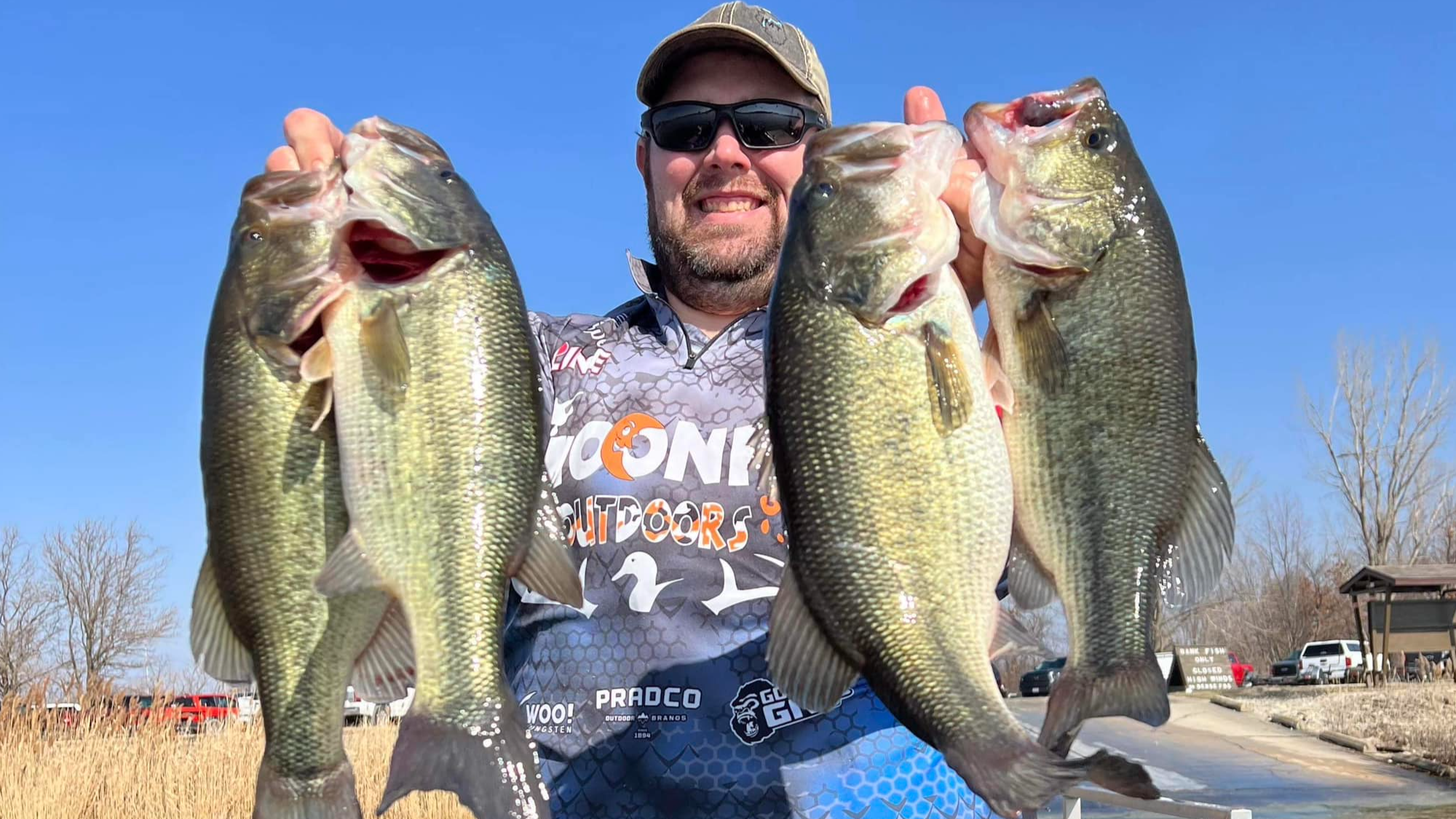
Fishing near Upper Peoria Lake
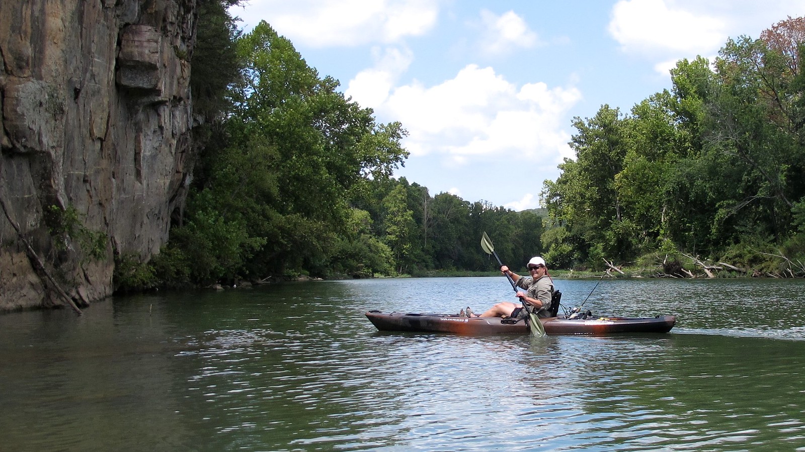
Illinois River
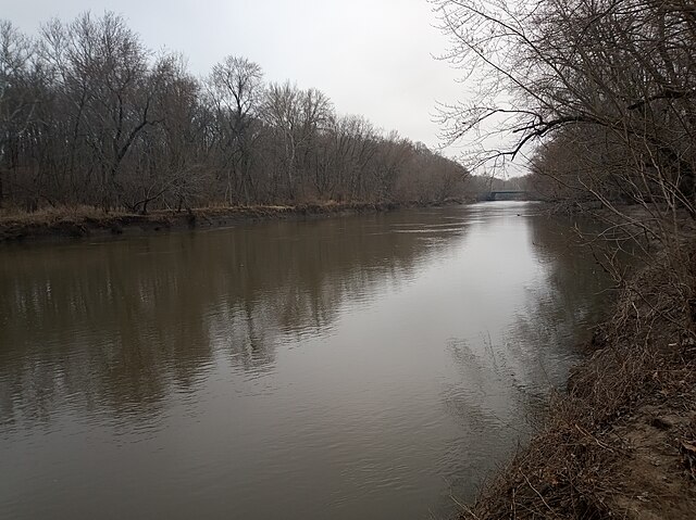
Sangamon River
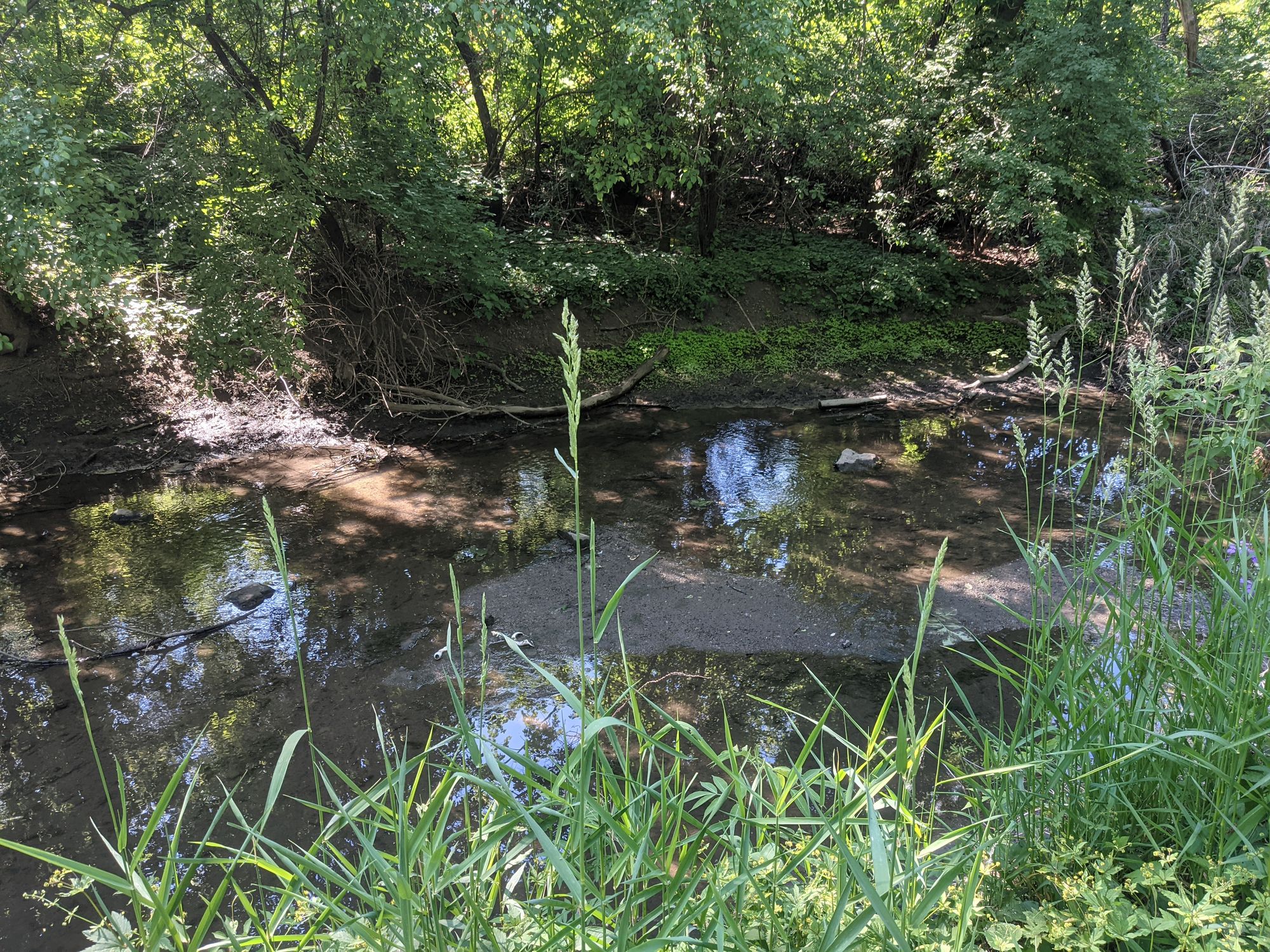
Salt Creek
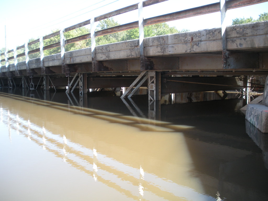
Vermilion River
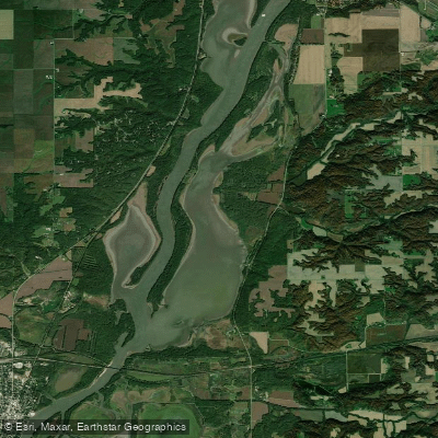
Babb Slough
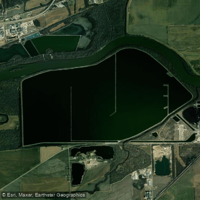
Powerton Cooling Lake
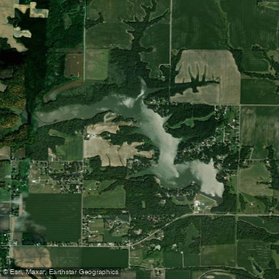
Canton Lake
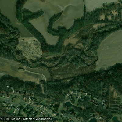
Kickapoo Creek
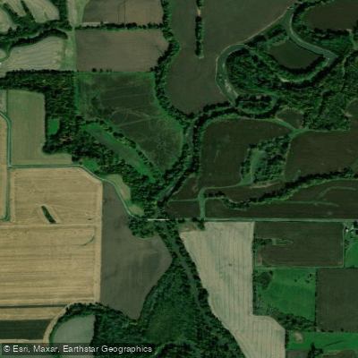
Spoon River
Explore Illinois waters
Top fishing waters
Popular Cities
Loading popular cities...
Explore near Upper Peoria Lake
Fish species
Fishing spots
- Detweiller Marina Boat Ramp
- Illinois Valley Yacht and Canoe Club Boat Ramp
- Fondulac Park Carl Spindler Marina Boat Ramp
- National Marina Sales Boat Ramp
- Sodowski Boat Basin Boat Ramp
- Hamm's Holiday Harbor Boat Ramp
- Woodford State Fish and Wildlife Area Boat Ramp
- Detweiller Park Boat Ramp
- Cooper South Park Boat Ramp
- Eastport Marina Boat Ramp
- Diversion Channel Bridge
- Us 150 Farm Cr Tp&w Rr Bridge
- All 39 spots
Nearby waters
More in Illinois

Smarter Fishing Starts in the App.
onWater Fish gives you everything you need to plan smarter, fish better, and own every trip from first cast to last.