Oostanaula River
Oostanaula River
- Boat Ramps
- 3
- Access Points
- 3
- Species
- 29
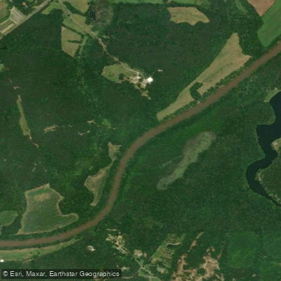
The Oostanaula River winds nearly 50 miles from Calhoun to Rome, Georgia, where it joins with the Etowah River to form the larger Coosa River. Formed by the confluence of the Coosawattee and Conasauga Rivers near Calhoun, this mid-sized northwest Georgia river offers diverse fishing opportunities throughout its course. The Oostanaula flows through Gordon and Floyd counties, providing anglers with a relatively uncrowded fishing experience compared to larger reservoirs. With several public boat ramps providing good access, particularly on the upper sections, the river is characterized by its moderate current, numerous shoals, and abundant cover that creates ideal habitat for various fish species. The river's relatively muddy waters and multiple structural features, including deep pools, log jams, and undercut banks, make it an interesting challenge for anglers looking to explore something beyond typical lake fishing.
Species & education
Learn what type of fish are at Oostanaula River and what's needed to catch them.

Find which waters have the species you want to catch

Largemouth Bass
Micropterus salmoides
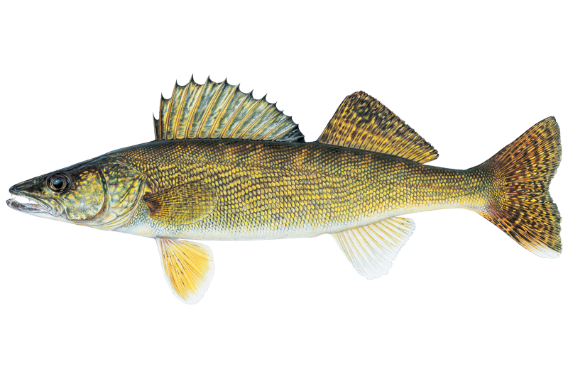
Walleye
Sander vitreus

Black Crappie
Pomoxis nigromaculatus
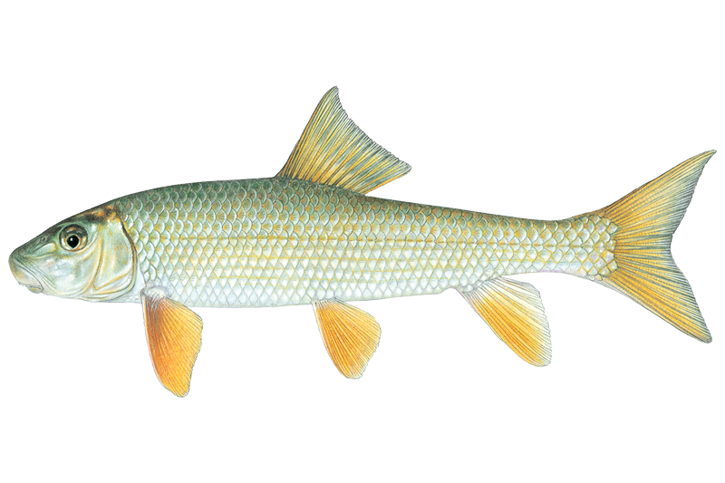
Black Redhorse
Moxostoma duquesnei

Blue Catfish
Ictalurus furcatus

Bluegill Sunfish
Lepomis macrochirus

Channel Catfish
Ictalurus punctatus

Common Carp
Cyprinus carpio

Flathead Catfish
Pylodictis olivaris
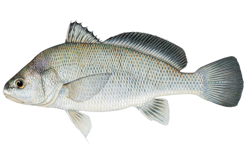
Freshwater Drum
Aplodinotus grunniens
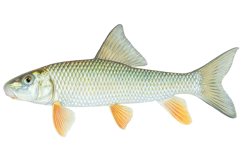
Golden Redhorse
Moxostoma erythrurum

Green Sunfish
Lepomis cyanellus

Longear Sunfish
Lepomis megalotis
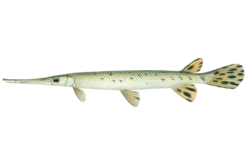
Longnose Gar
Lepisosteus osseus
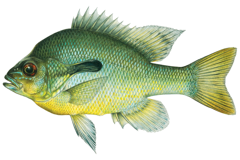
Redbreast Sunfish
Lepomis auritus
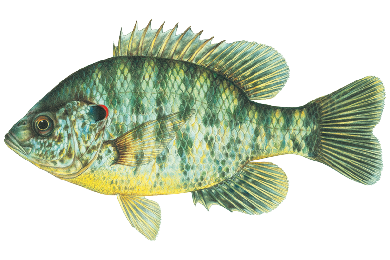
Redear Sunfish
Lepomis microlophus

Redeye Bass
Micropterus coosae
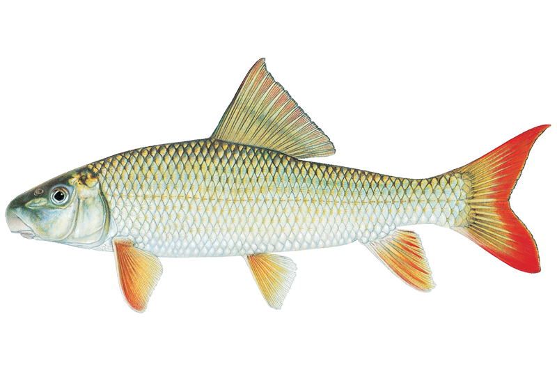
River Redhorse
Moxostoma carinatum
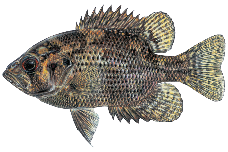
Shadow Bass
Ambloplites ariommus
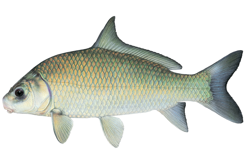
Smallmouth Buffalo
Ictiobus bubalus
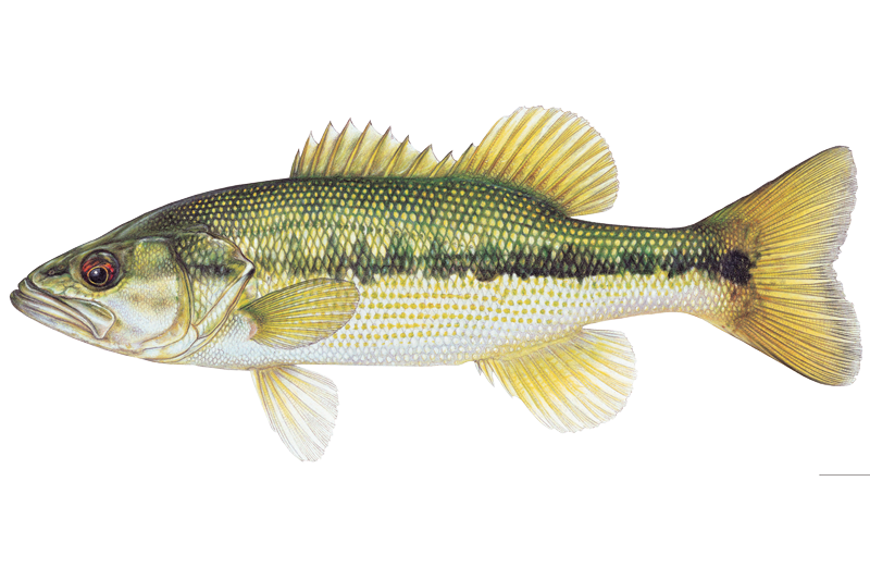
Spotted Bass
Micropterus punctulatus
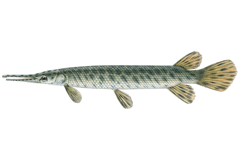
Spotted Gar
Lepisosteus oculatus
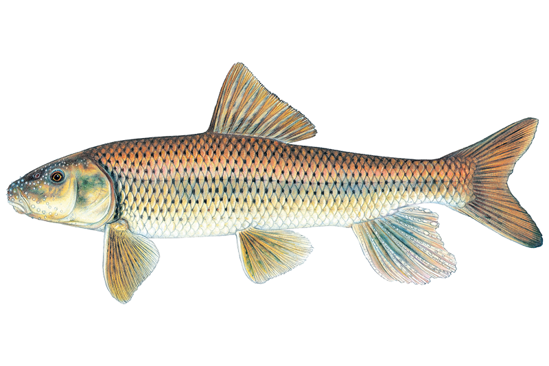
Spotted Sucker
Minytrema melanops
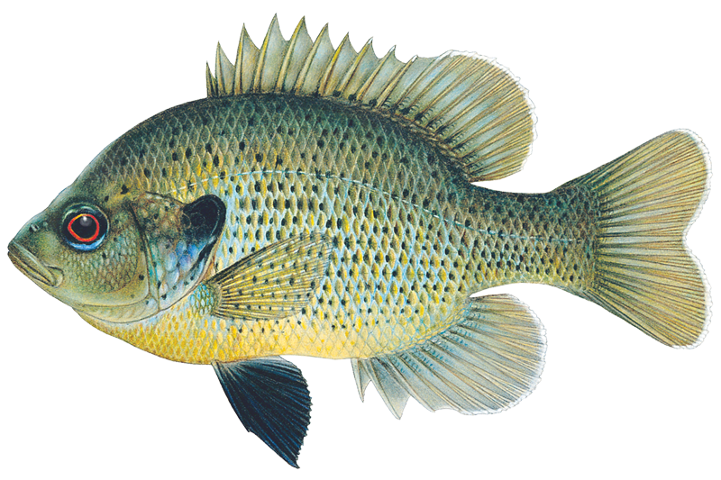
Spotted Sunfish
Lepomis punctatus
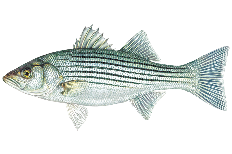
Striped Bass
Morone saxatilis
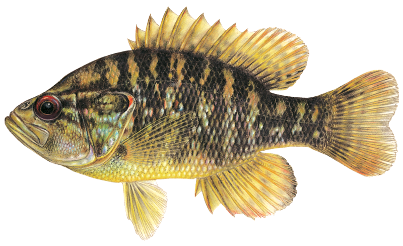
Warmouth Sunfish
Lepomis gulosus

White Bass
Morone chrysops
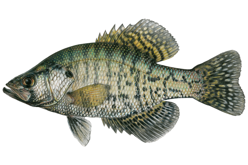
White Crappie
Pomoxis annularis

Yellow Bass
Morone mississippiensis
Fishing spots, boat ramps & amenities
Learn how to get on Oostanaula River. Uncover great fishing access points, boat ramps, and all the facilities you need for an unforgettable day on the water. Some locations shown may border or include private property. Always check property boundaries and applicable regulations before visiting. onWater's Public & Private Land layer can help you plan your access with confidence.
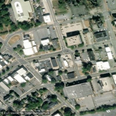
Know where you can legally fish on Oostanaula River
See public and private land boundaries along the water, turn on private parcels with owner details to know where permission is required, and find land-trust parcels that offer permitted fishing access.
Georgia licenses and regulations

Georgia Boating Regulations
When using any type of watercraft to access a body of water, it is important to follow all federal, state, and local rules and regulations. These rules and regulations include boat permitting and licensing, invasive species inspections and stamps, life jacket and PFD rules, motor size and horsepower restrictions, noise limitations, restrictions on personal watercraft, and many more. Visit the web link below for the most current rules and regulations for this body of water.

Georgia Delayed Harvest Streams
Anglers fishing delayed harvest streams must release all trout immediately and use and possess only artificial lures with one single hook per lure from Nov. 1–May 14 annually. The use of additional “dropper” lures on one line is permitted as long as each lure contains one single hook. These restrictions do not apply from May 15–Oct. 31 of each year.

Georgia Fishing License
Anglers age 16 and older must have a current Georgia fishing license in their possession while fishing in fresh or salt water in Georgia. Additionally, a free SIP is required to fish in saltwater. A temporary authorization number obtained by telephone or internet sale may be used for seven days until the paper copy is received or printed. Game Wardens may require photo identification when checking fishing licenses. Exception: A fishing license is not required to fish in private ponds (does not include ponds owned by governments—city, county, state, or federal) nor by a resident and their immediate family when fishing on their land.

Georgia Fishing Regulations
When using any type of watercraft to access a body of water, it is important to follow all federal, state, and local rules and regulations. These rules and regulations include boat permitting and licensing, invasive species inspections and stamps, life jacket and PFD rules, motor size and horsepower restrictions, noise limitations, restrictions on personal watercraft, and many more. Visit the web link below for the most current rules and regulations for this body of water.

Georgia Stream Access Laws
Navigable waters are those capable of regular barge traffic. The public may boat and fish to the low water mark only where the streambed is owned by the state. If the streambeds are private, you need permission to wade and fish.
Take Oostanaula River with you
The onWater Fish app keeps this water's access points, species and conditions in your pocket, with the tools you use once you're there.
Use the map without signal
Download the map around Oostanaula River to use it offline when coverage drops.
Log your catches here
Keep a private fishing journal for Oostanaula River to find where and when fish are biting for you.
Get the onWater Fish app
Free on iOS and Android
Water and weather conditions (10 day forecast)
See the best times to fish Oostanaula River and check the forecast before you go.
OOSTANAULA RIVER AT RESACA, GA
All Flow Stations
Fishing near Oostanaula River
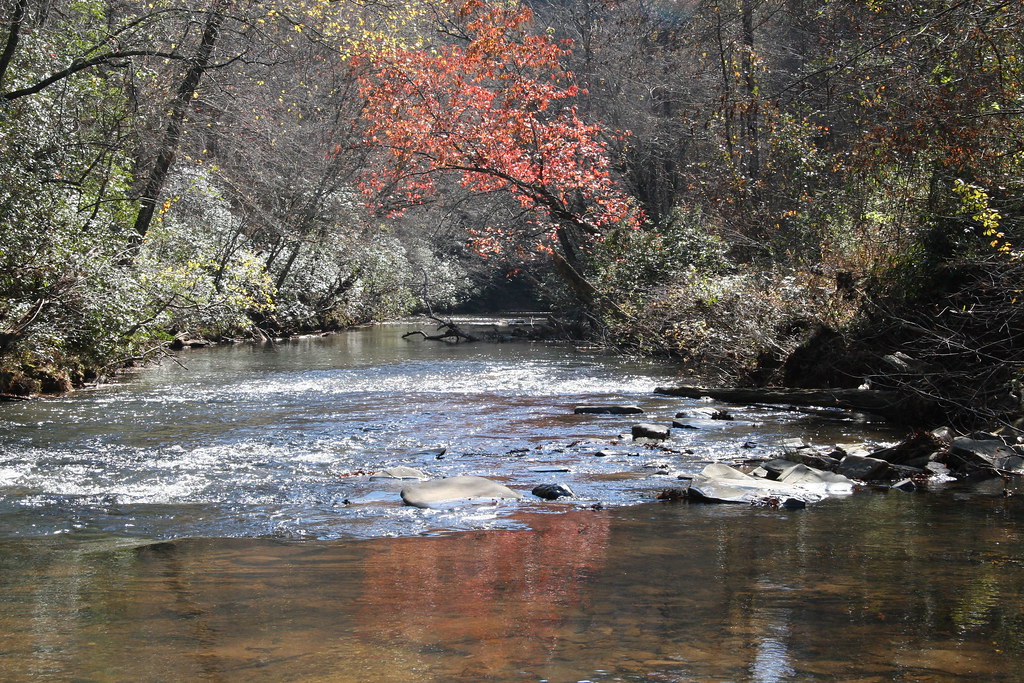
Etowah River
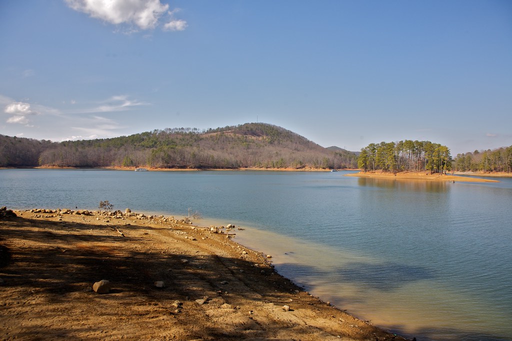
Allatoona Lake
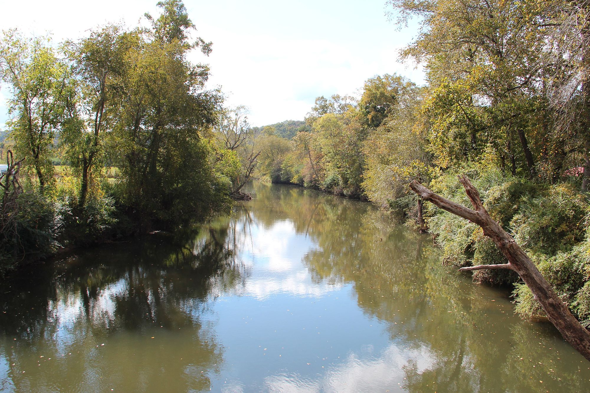
Coosawattee River
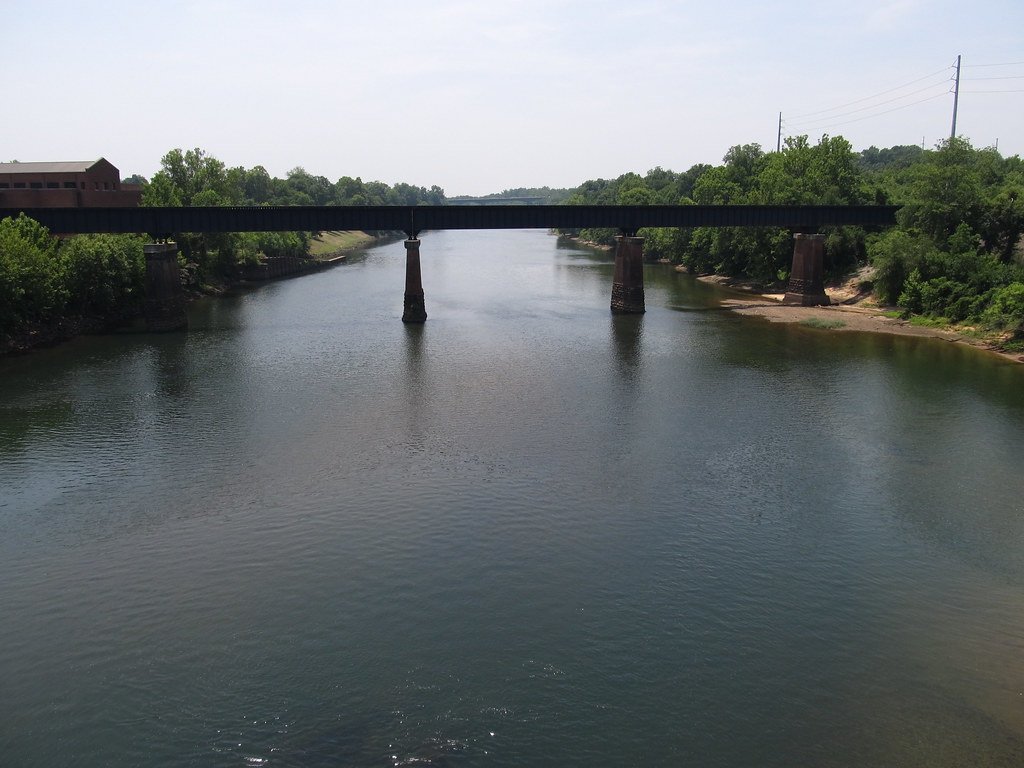
Chattahoochee River
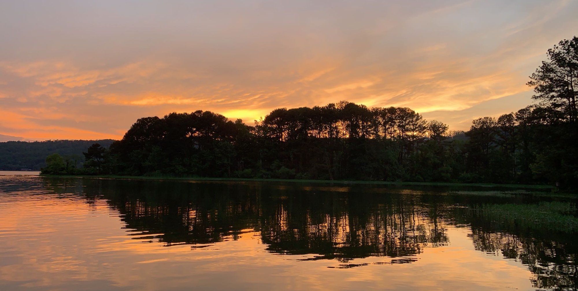
Coosa River
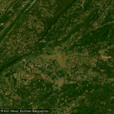
Weiss Lake
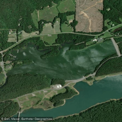
Selman Lakes
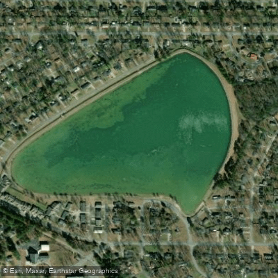
Lake Conasauga
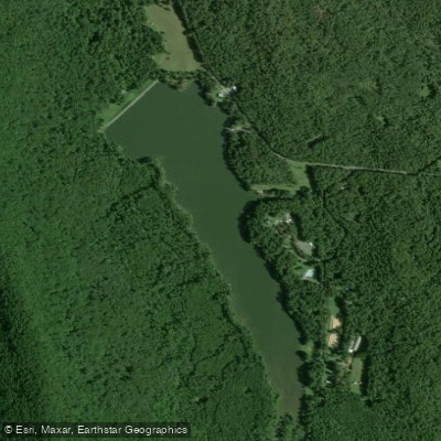
Lake Marvin
Explore Georgia waters
Top fishing waters
Popular Cities
Loading popular cities...
Explore near Oostanaula River
Fish species
Fishing spots
Nearby waters
More in Georgia

Smarter Fishing Starts in the App.
onWater Fish gives you everything you need to plan smarter, fish better, and own every trip from first cast to last.