False Bay
- Saltwater
- Bay
False Bay
- Saltwater
- Bay
- Sq. miles
- 419
- Boat Ramps
- 7
- Access Points
- 1
- Species
- 47
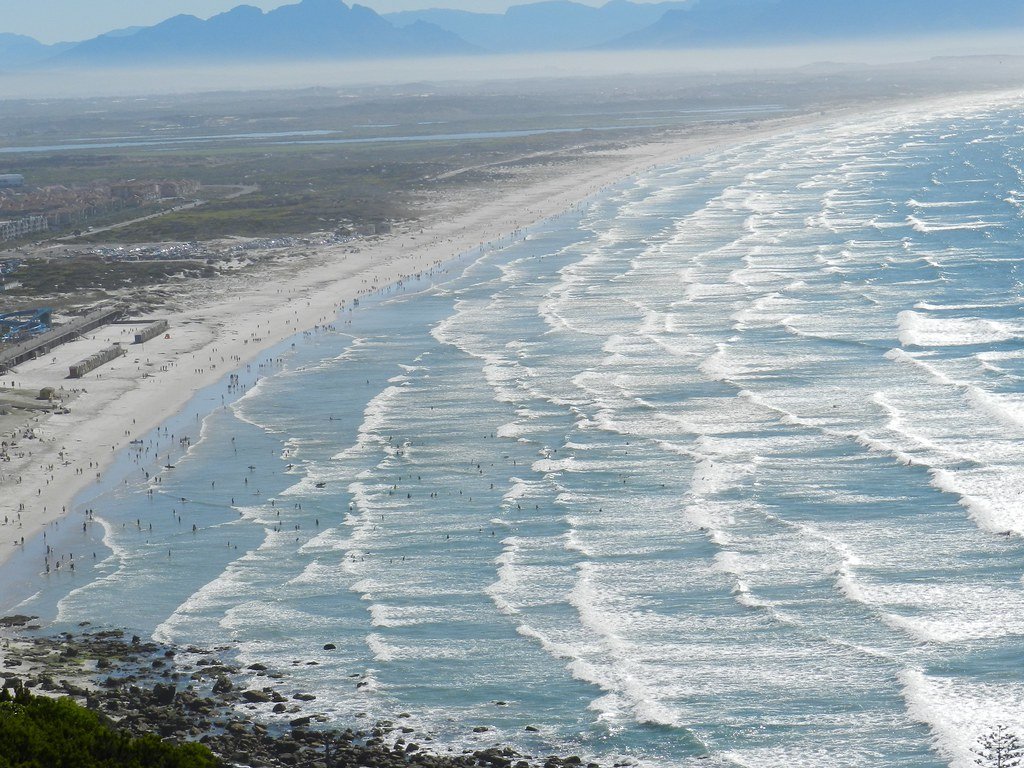
False Bay is a vast, square-shaped body of water in the Atlantic Ocean, forming the southern edge of Cape Town, South Africa. It stretches approximately 30 kilometers from east to west and north to south, covering a surface area of about 1,090 square kilometers. The bay is bounded by Cape Point to the west and Cape Hangklip to the east, with its northern shore comprising the low-lying Cape Flats and the eastern side rising to the Hottentots Holland Mountains. The seabed slopes gradually from north to south, reaching a maximum depth of around 90 meters. This area is a dynamic marine ecoregion where the cold, nutrient-rich Benguela Current from the west mixes with the warmer Agulhas Current from the east, creating conditions for exceptional biodiversity. The bay includes parts of the Table Mountain National Park Marine Protected Area and the entire Helderberg Marine Protected Area, supporting a rich array of marine life from fish and dolphins to whales and sharks.
Species & education
Learn what type of fish are at False Bay and what's needed to catch them.

Find which waters have the species you want to catch

Albacore
Thunnus alalunga

Baardman
Umbrina robinsoni

Black Marlin
Istiompax indica

Black Musselcracker
Cymatoceps nasutus

Blacktail
Diplodus capensis

Bronze Bream
Pachymetopon grande

Bronze Whaler Shark
Carcharhinus brachyurus

Cape Stumpnose
Rhabdosargus holubi

Cobia
Rachycentron canadum

Dageraad
Chrysoblephus cristiceps

Diamond Ray
Gymnura natalensis

Dusky Kob
Argyrosomus japonicus

Dusky Shark
Carcharhinus obscurus

Eastern Little Tuna
Euthynnus affinis

Englishman
Chrysoblephus anglicus

Flathead Mullet
Mugil cephalus

Galjoen
Dichistius capensis

Geelbek
Atractoscion aequidens

Honeycomb Stingray
Himantura uarnak

Hottentot
Pachymetopon blochii

King Mackerel
Scomberomorus commerson

Leervis
Lichia amia

Panga
Pterogymnus laniarius

Ragged-tooth Shark
Carcharias taurus

Red Steenbras
Petrus rupestris

Red Stumpnose
Chrysoblephus gibbiceps

Roman
Chrysoblephus laticeps

Sand Steenbras
Lithognathus mormyrus

Santer
Cheimerius nufar

Scotsman
Polysteganus praeorbitalis

Seventy-four
Polysteganus undulosus

Shad
Pomatomus saltatrix

Silver Kob
Argyrosomus inodorus

Skipjack Tuna
Katsuwonus pelamis

Smooth-hound
Mustelus mustelus

Snoek
Thyrsites atun

Spotted Grunter
Pomadasys commersonnii

Spotted Gully Shark
Triakis megalopterus

Springer
Elops machnata

Stonebream
Neoscorpis lithophilus
Fishing spots, boat ramps & amenities
Learn how to get on False Bay. Uncover great fishing access points, boat ramps, and all the facilities you need for an unforgettable day on the water. Some locations shown may border or include private property. Always check property boundaries and applicable regulations before visiting. onWater's Public & Private Land layer can help you plan your access with confidence.
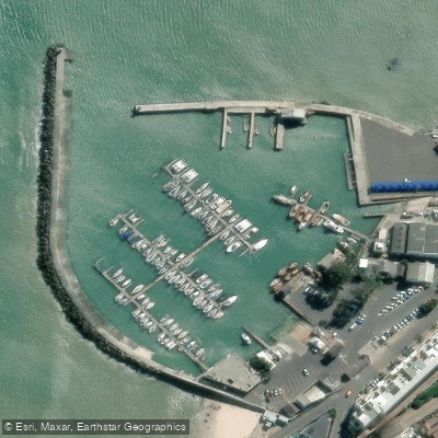
Know where you can legally fish on False Bay
See public and private land boundaries along the water, turn on private parcels with owner details to know where permission is required, and find land-trust parcels that offer permitted fishing access.
Western Cape licenses and regulations

Western Cape Boating Regulations
National Small Vessel Safety Regulations administered by the South African Maritime Safety Authority (SAMSA), covering recreational boats on inland and coastal waters. National page reused for all provinces, as there is no separate provincial boating-safety authority.

Western Cape Fishing License
Official CapeNature page for the Western Cape freshwater angling licence. A licence is required to fish for freshwater fish in inland public waters (rivers and state dams); apply via the form and supporting documents to CapeNature.

Western Cape Fishing Regulations
CapeNature page covering recreational freshwater fishing rules for dams and rivers in the Western Cape under the Nature Conservation Ordinance, detailing where a licence is required and conditions of use.

Western Cape Stream Access Laws
South Africa's National Water Act (No. 36 of 1998) is the national law governing rights to and use of rivers and watercourses - the framework relevant to stream/water access. National page reused as no distinct provincial stream-access page exists.
Take False Bay with you
The onWater Fish app keeps this water's access points, species and conditions in your pocket, with the tools you use once you're there.
Use the map without signal
Download the map around False Bay to use it offline when coverage drops.
Log your catches here
Keep a private fishing journal for False Bay to find where and when fish are biting for you.
Get the onWater Fish app
Free on iOS and Android
Tides, wind & water conditions (10 day forecast)
On open water, wind and tide matter as much as the weather. See the best times to fish False Bay and check the marine forecast before you launch.
Loading tide predictions…
Fishing near False Bay
Lourens
Eerste
Kuils
Steenbras
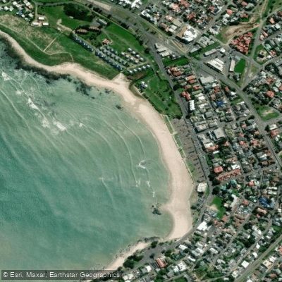
Gordon's Bay Main Beach
Riviersonderend
Palmiet
Sir Lowry’s Pass
Klippies
Explore Western Cape waters
Top fishing waters
No waters available right now.
Popular Cities
Loading popular cities...
Explore near False Bay
Fish species
Fishing spots
Nearby waters
More in Western Cape

Smarter Fishing Starts in the App.
onWater Fish gives you everything you need to plan smarter, fish better, and own every trip from first cast to last.