Sir Lowry’s Pass
- Saltwater
- Estuary
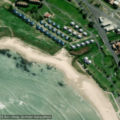
Sir Lowry’s Pass
- Saltwater
- Estuary
- Sq. miles
- 0
- Boat Ramps
- 0
- Access Points
- 0
- Species
- 0
Sir Lowry's Pass is a mountain pass crossing the Hottentots Holland Mountains, connecting Somerset West to the Elgin Valley on the N2 highway. The summit sits at an elevation of approximately 460 meters. The pass serves as the primary gateway from Cape Town to the expansive fishing opportunities of the Overberg region and the eastern coastline of False Bay. The area is not a singular fishing water body but a critical transit point to a variety of inshore and nearshore saltwater environments, including the beaches of Gordon's Bay and Strand, and the productive waters beyond the pass leading toward Arniston and Cape Agulhas.
Species & education
Learn what type of fish are at Sir Lowry’s Pass and what's needed to catch them.
No species information available.
Fishing spots, boat ramps & amenities
Learn how to get on Sir Lowry’s Pass. Uncover great fishing access points, boat ramps, and all the facilities you need for an unforgettable day on the water. Some locations shown may border or include private property. Always check property boundaries and applicable regulations before visiting. onWater's Public & Private Land layer can help you plan your access with confidence.
The eastern coast of False Bay offers numerous beach fishing spots including Gordons Bay, Strand, Bikini Beach, and Kogel Bay. These areas provide typical surf fishing structure. The Overberg coastline offers further remote beach and rocky point opportunities.
Know where you can legally fish on Sir Lowry’s Pass
See public and private land boundaries along the water, turn on private parcels with owner details to know where permission is required, and find land-trust parcels that offer permitted fishing access.
Western Cape licenses and regulations

Western Cape Boating Regulations
National Small Vessel Safety Regulations administered by the South African Maritime Safety Authority (SAMSA), covering recreational boats on inland and coastal waters. National page reused for all provinces, as there is no separate provincial boating-safety authority.

Western Cape Fishing License
Official CapeNature page for the Western Cape freshwater angling licence. A licence is required to fish for freshwater fish in inland public waters (rivers and state dams); apply via the form and supporting documents to CapeNature.

Western Cape Fishing Regulations
CapeNature page covering recreational freshwater fishing rules for dams and rivers in the Western Cape under the Nature Conservation Ordinance, detailing where a licence is required and conditions of use.

Western Cape Stream Access Laws
South Africa's National Water Act (No. 36 of 1998) is the national law governing rights to and use of rivers and watercourses - the framework relevant to stream/water access. National page reused as no distinct provincial stream-access page exists.
Take Sir Lowry’s Pass with you
The onWater Fish app keeps this water's access points, species and conditions in your pocket, with the tools you use once you're there.
Use the map without signal
Download the map around Sir Lowry’s Pass to use it offline when coverage drops.
Log your catches here
Keep a private fishing journal for Sir Lowry’s Pass to find where and when fish are biting for you.
Get the onWater Fish app
Free on iOS and Android
Tides, wind & water conditions (10 day forecast)
On open water, wind and tide matter as much as the weather. See the best times to fish Sir Lowry’s Pass and check the marine forecast before you launch.
Loading tide predictions…
Fishing near Sir Lowry’s Pass
Lourens
Eerste
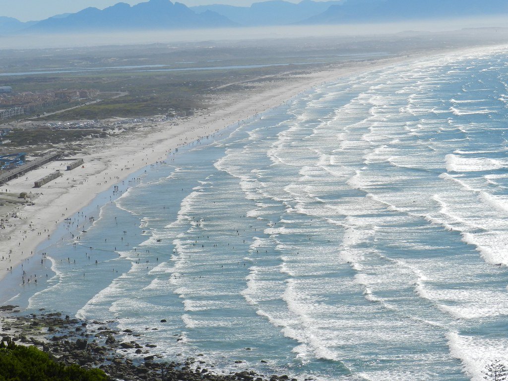
False Bay
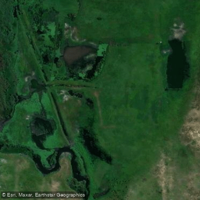
Kuils
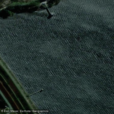
Steenbras
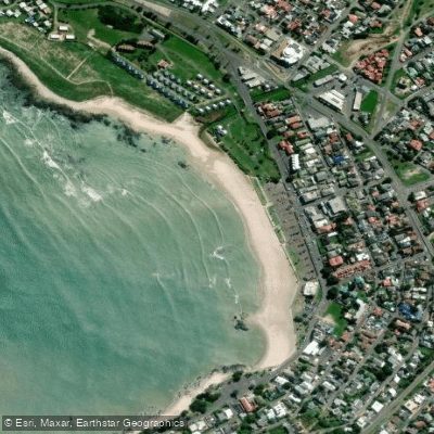
Gordon's Bay Main Beach
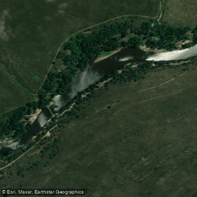
Riviersonderend
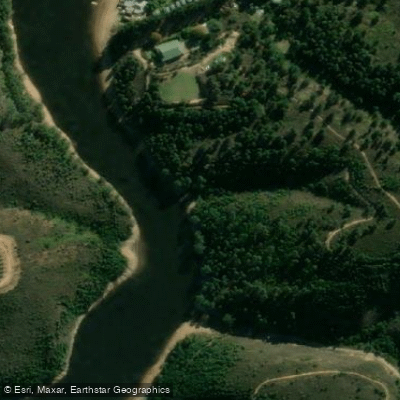
Palmiet
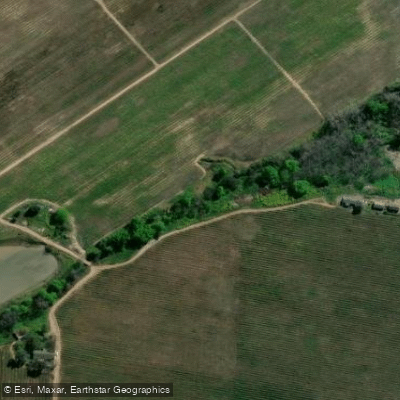
Klippies
Explore Western Cape waters
Top fishing waters
No waters available right now.
Popular Cities
Loading popular cities...
Explore near Sir Lowry’s Pass
Nearby waters
More in Western Cape

Smarter Fishing Starts in the App.
onWater Fish gives you everything you need to plan smarter, fish better, and own every trip from first cast to last.