Fishing in Lower Saint Croix National Scenic Riverway
- National Wild & Scenic River
- Lakes
- 4
- Rivers
- 6
- Access
- 2
- Boat Ramps
- 6
- Shops
- 1
- Species
- 15
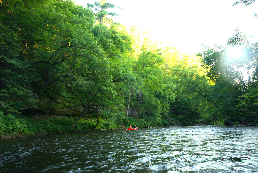
The lower 52 miles of the St. Croix River — from Taylors Falls downstream to its confluence with the Mississippi — make up the Lower Saint Croix National Scenic Riverway.
This stretch runs along the Minnesota-Wisconsin border, widening as it moves south through wooded bluffs and past historic river towns before emptying into the Mississippi near Prescott.
It is a federally designated Wild and Scenic River managed cooperatively by the National Park Service, both state DNRs, and local governments — a setup that shapes how anglers navigate regulations here.
The river itself may be the most species-rich waterbody in the Upper Mississippi basin, with 111 fish species documented along with 41 mussel species. That biological depth shows in the fishing.
Walleye, northern pike, muskellunge, catfish, and sturgeon are all present. The upper St. Croix, just north of this segment, carries a strong reputation as a smallmouth bass fishery, and that character carries into the lower river as well.
Licensing is the first thing to sort out before you wet a line. Because the St. Croix forms the state boundary for much of its length, anglers need to know which state's water they're in. The boundary begins approximately 2.
5 miles downstream of Riverside Landing — upstream of that point, the river runs through Wisconsin. Minnesota and Wisconsin licenses are both valid on border waters, but you must carry the physical license showing the fishing endorsement.
When you land your boat, the state where you pull out will inspect your catch, so factor that into your ramp choice. A number of fishing guides hold permits to operate on the Riverway; the NPS outfitters page lists them.
The lower riverway draws heavily from the Twin Cities metro, and that proximity means pressure, particularly on weekends.
The protected corridor — which extends roughly a quarter-mile from the river's edge on average — keeps the shoreline largely intact, which matters for fish habitat and for the experience of being on the water.
Check current Minnesota and Wisconsin regulations before you go.
The rules governing size, season, and bag limits on border waters can differ by species and by state, and the NPS asks anglers to follow the regulations of the state they're fishing in, not the state where they hold their license.
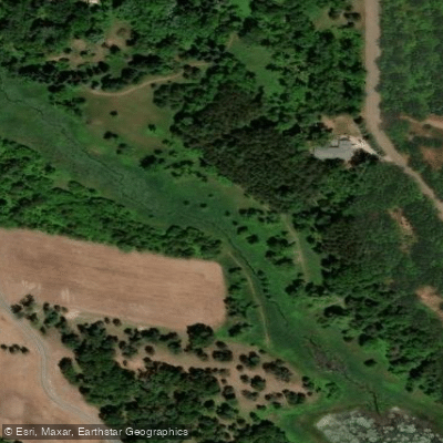
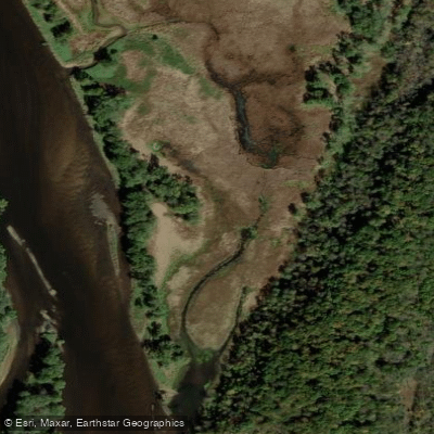
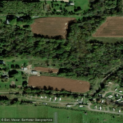
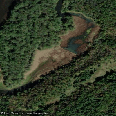
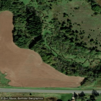
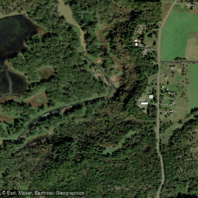
Top waters to fish near Lower Saint Croix National Scenic Riverway
Species & education
Learn what type of fish are in Lower Saint Croix National Scenic Riverway and what's needed to catch them.

Find which waters have the species you want to catch

American Eel
Anguilla rostrata

Black Bullhead
Ameiurus melas

Black Crappie
Pomoxis nigromaculatus
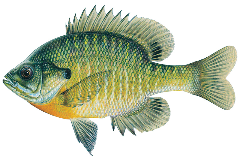
Bluegill
Lepomis macrochirus
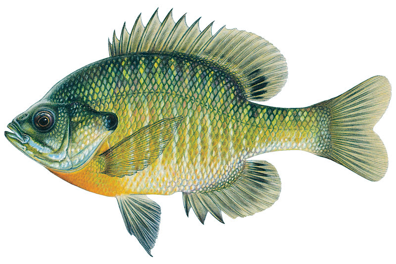
Bluegill Sunfish
Lepomis macrochirus

Blue Sucker
Cycleptus elongatus

Bowfin
Amia calva

Brook Trout
Salvelinus fontinalis

Brown Trout
Salmo trutta

Burbot
Lota lota

Chain Pickerel
Esox niger

Channel Catfish
Ictalurus punctatus

Common Carp
Cyprinus carpio

Flathead Catfish

Freshwater Drum
Aplodinotus grunniens
Water and weather conditions (10 day forecast)
See the best times to fish Lower Saint Croix National Scenic Riverway and check the forecast before you go.
No forecast data available.
Fishing guides near Lower Saint Croix National Scenic Riverway
Book a trip with a local fishing guide through Guidesly.

Ryan Bunnell
Croix Boys Guided Adventures
5.0 (11 reviews)
Thrilling St. Croix River Fishing Guides!
Book on Guidesly, opens in new tab
Dusty Hafner
Fishing with Capt. Dusty Hafner
5.0 (5 reviews)
Lake Minnetonka Guided Fishing Trips
Book on Guidesly, opens in new tab
Brandon Norten
Musky Geek Guide Service
5.0 (1 review)
Your Top Minnesota Fishing Charter
Book on Guidesly, opens in new tab
Britney Magdal
REL Fishing
Lake Minnetonka Guided Fishing Trips
Book on Guidesly, opens in new tab
Todd Stauffer
Set The Hook Guide Service LLC.
Book The Best Lake Minnetonka Fishing Guides!
Book on Guidesly, opens in new tab
Nick Thill
Upriver Anglers
Upriver Anglers: Northwest Wisconsin River Floats
Book on Guidesly, opens in new tab
Fish smarter with real-time insights
Whether you're en route and conditions shift or you're looking for the best spot based on current flows, we enable you to make informed decisions on the fly.




Fishing near Lower Saint Croix National Scenic Riverway
Loading...
Gateway towns
Where to base yourself for fishing in Lower Saint Croix National Scenic Riverway.
Gateway town at the upper end of the Lower Riverway, with outfitters, canoe rentals, and river access on the Minnesota side.
Across the river from Taylors Falls, home to the NPS visitor center and a main hub for riverway information and access.
Historic town near the lower end of the riverway with lodging, boat launches, and services for river visitors.
Lower Saint Croix National Scenic Riverway fishing rules
The park's own rules, on top of Minnesota licenses and regulations. Limits, fees and closures change, so check the park's page before you go.

Know Which State License You Need
The St. Croix forms the MN/WI border, so you must carry the license for the state whose waters you are fishing. Both MN and WI licenses are valid on border waters, but you must have the physical license showing your fishing endorsement on you at all times.

Follow the Right State Regulations
Fish under the regulations of the state where you are fishing, not the state that issued your license. Check current MN or WI rules before you head out.

Boat Landing Catch Inspections
When you land your boat, the state where you are landing may inspect your catch. Choose your boat ramp with that in mind and make sure your catch complies with that state's rules.

No Live Crayfish as Bait
Live crayfish may not be used as bait on the St. Croix River. Check current regulations for all other bait restrictions before fishing.

Line and Lure Limits Apply
Two lines with a single lure or bait on each are permitted. If you fish with one line, you may use two baits. Stay within these limits while on the Riverway.

Guides Must Hold a Permit
Fishing guides operating on the Riverway are required to hold a National Park Service permit. If you hire a guide, make sure they are listed among the permitted outfitters for the Riverway.
Explore Lower Saint Croix National Scenic Riverway
Top fishing waters
Popular Cities
Loading popular cities...

Smarter Fishing Starts in the App.
onWater Fish gives you everything you need to plan smarter, fish better, and own every trip from first cast to last.