Fishing in Gulf Islands National Seashore
- National Seashore
- Lakes
- 1
- Rivers
- 1
- Access
- 0
- Boat Ramps
- 12
- Shops
- 0
- Species
- 15
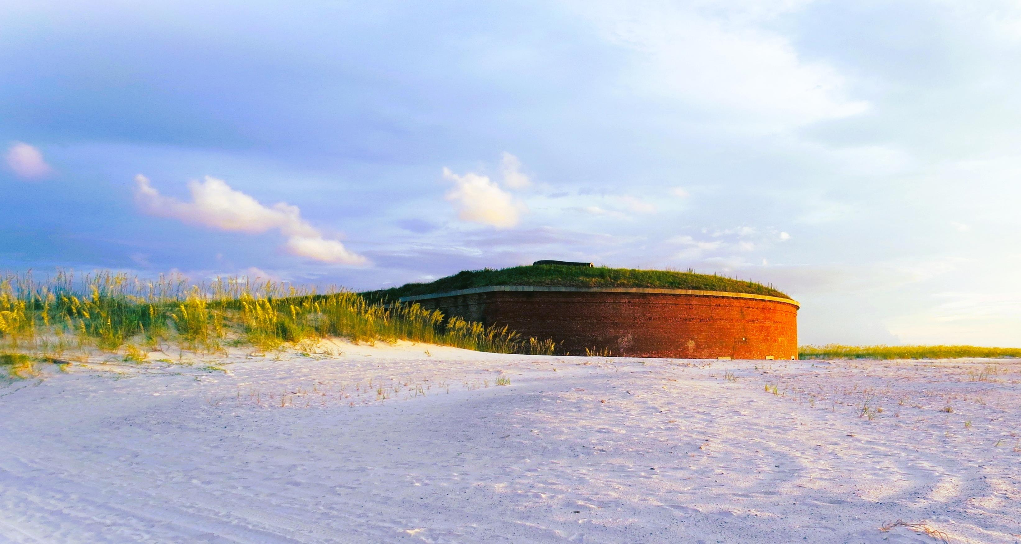
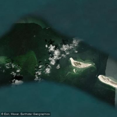
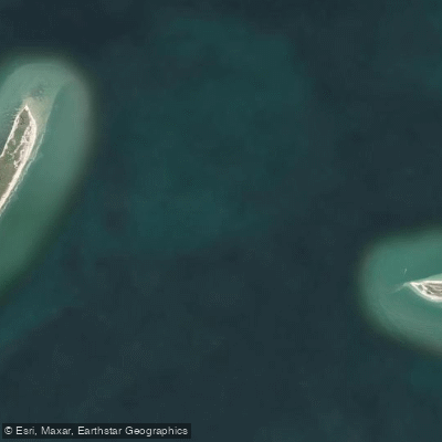
Gulf Islands National Seashore stretches more than 150 miles along the northern Gulf Coast, spanning barrier islands, sounds, bayous, and estuaries across the Florida Panhandle and coastal Mississippi. More than 80 percent of the park is underwater.
The daily tidal exchange between the Gulf and the protected backwaters creates the kind of nutrient-rich mixing zone that holds fish year-round.
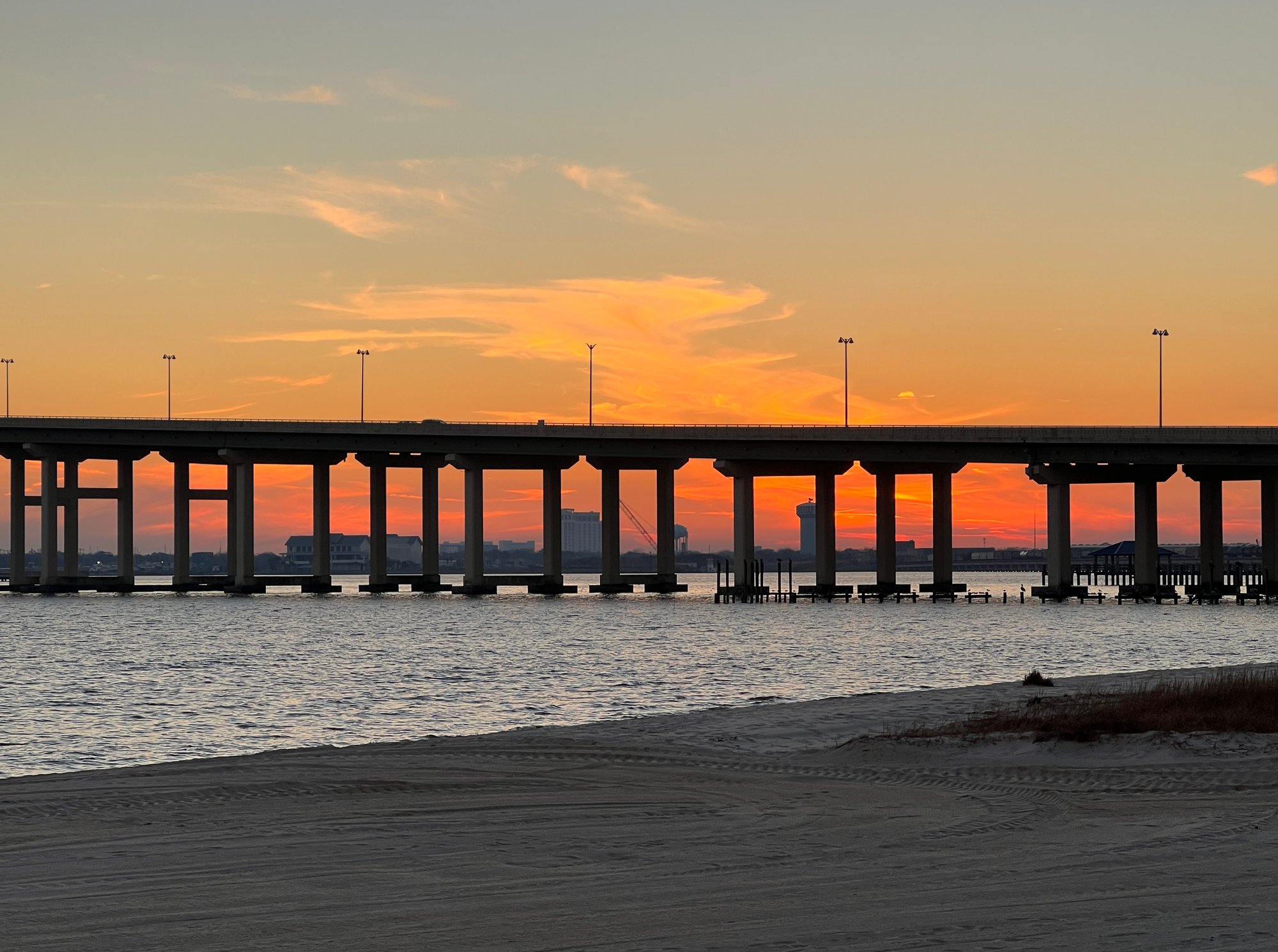
The Florida units — Perdido Key, Fort Pickens, and the Santa Rosa Area — sit along Santa Rosa Island and the surrounding waters.
Park boundaries here extend north to the Gulf Intracoastal Waterway and south one mile from the low tide line, which means a lot of fishable water falls inside the park.
Trout and redfish work the inside grass flats and bayous; flounder and larger reds move through the passes; pompano, whiting, bluefish, and Spanish mackerel run the beaches. Tarpon show up just outside the bar through the summer months.
Sheepshead and ladyfish are reliably caught throughout the Florida areas as well. The Fort Pickens pier at the western tip of Santa Rosa Island is the most accessible fixed structure for shore anglers.
No fishing license is required when fishing from the pier itself, and a two-pole limit applies. The Fort Pickens ferry pier is a different structure — it is closed to fishing and netting entirely.
No vessels or persons in the water are permitted within 200 feet of the Fort Pickens fishing pier, the old pier remnants, the ferry dock, or the government dock.
At Naval Live Oaks, the park boundary only extends 100 yards from the low tide line, and there is no designated park water at the Okaloosa Area.
Shore fishing is permitted throughout the Florida units except at Johnson Beach, Langdon Beach, and Opal Beach when lifeguards are on duty. Seagrass beds run through much of the park's shallow water.
Boat groundings, propellers, and anchors all cause damage — anchor off the grass, not in it, and avoid wading through it. A valid Florida or Mississippi recreational saltwater fishing license is required depending on which unit you're fishing.
No additional NPS permit is needed. Commercial fishing, shrimping, and crabbing are all prohibited within seashore waters.
For current size and bag limits, check directly with Florida Fish and Wildlife or Mississippi Wildlife, Fisheries, and Parks before you go — regulations change, and the park holds you responsible for knowing both state and park rules.
The water here rewards anglers who pay attention to tides and structure. The fish don't care about the park boundary, but knowing where it sits — and what the rules are inside it — keeps the resource intact for the next tide.
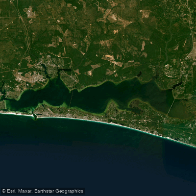
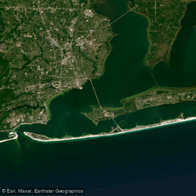
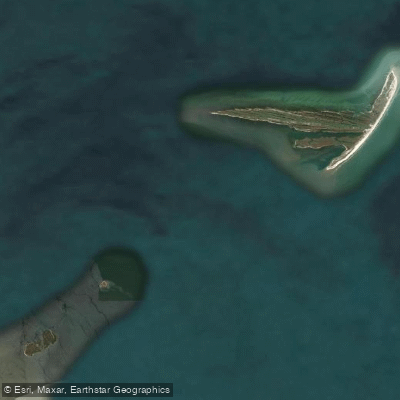
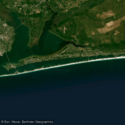
Top waters to fish near Gulf Islands National Seashore
Species & education
Learn what type of fish are in Gulf Islands National Seashore and what's needed to catch them.

Find which waters have the species you want to catch

Almaco Jack
Seriola rivoliana

Atlantic Croaker
Micropogonias undulatus

Atlantic Sharpnose Shark
Rhizoprionodon terraenovae

Atlantic Spadefish
Chaetodipterus faber

Black Drum
Pogonias cromis

Blackfin Tuna
Thunnus atlanticus

Black Grouper
Mycteroperca bonaci

Black Sea Bass
Centropristis striata

Blacktip Shark
Carcharhinus limbatus

Bluefish
Pomatomus saltatrix

Blue Marlin
Makaira nigricans

Blue Runner
Caranx crysos

Bonnethead
Sphyrna tiburo

Bull Shark
Carcharhinus leucas

Cobia
Rachycentron canadum
Water and weather conditions (10 day forecast)
See the best times to fish Gulf Islands National Seashore and check the forecast before you go.
No forecast data available.
Park alerts & road status
Closures and conditions Gulf Islands National Seashore has posted, from the National Park Service.
Checking the park's alerts…
Hours & fees
When Gulf Islands National Seashore is open and what it costs to get in, from the National Park Service.
Hours
The Davis Bayou Area is located south of U. S. Hwy. 90 east of downtown Ocean Springs, Mississippi and offers many recreational opportunities. Visitors can enjoy fishing, hiking, biking, birdwatching, picnicking, kayaking and ranger-led programs. There are no swimming beaches in the Davis Bayou Area. Visitor Center hours are 9 a.m. to 4 p.m. Wednesday - Sunday.
Entrance fees
- Entrance - Private Vehicle$25
- Cost for up to six people in one vehicle. Good for seven days into any fee area in Florida, (Opal Beach, Johnson Beach, Fort Pickens).
- Entrance - Motorcycle$20
- Valid for 7 days. Admits up to 2 private, non-commercial motorcycles with up to 4 total passengers. Fees are required at Fort Pickens Area, Opal Beach Complex Area, and Johnson Beach Area in Florida. Additional fees to ride the ferry.
- Entrance - Per Person$15
- Fees are required at Fort Pickens Area, Opal Beach Complex Area, and Johnson Beach Area in Florida. Additional fees to ride the ferry.
Parking & getting around
Where to leave the car in Gulf Islands National Seashore. Lots fill early on busy days, so plan where you will park before you head for the water.
Battery Worth Parking Lot
This is the main campground overflow parking lot. There are 80 parking spots here and RV spots.
Davis Bayou Boat Launch
This parking lot is for day use only for boat launch users. This parking area can accommodate cars, large vehicles, RVs, and trailers. No overnight parking allowed.
Davis Bayou Visitor Center
Two parking lots are located outside the visitor center that lead to trails or fishing pier. This parking lot is for day use only. This parking area can accommodate cars, large vehicles, RVs, and trailers. No overnight parking allowed.
Fort Pickens Campground Office Parking
Temporary parking for campground office.
Fort Pickens Parking Lot
Passenger and bus parking only. No RV spots. This is the closest parking to the ferry and Florida Trail. This parking lot is for day use only. No overnight parking allowed.
Johnson Beach Parking Lot Main
There are 300 parking spots hear for Johnson Beach. No RV's allowed. This parking lot is for day use only. No overnight parking allowed.
Langdon Beach
There are 60 gulf-side parking spots here. No RV's allowed. This parking lot is for day use only. No overnight parking allowed.
Naval Live Oaks Area Sound Side
This parking lot is for day use only. This parking area can accommodate cars, large vehicles, RVs, and trailers. No overnight parking allowed.
Naval Live Oaks Bayside
This parking lot is for day use only. This parking area can accommodate cars only. No overnight parking allowed.
Okaloosa Area Parking lot
This parking lot is for day use only. This parking area can accommodate cars, large vehicles, and trailers. No overnight parking allowed.
Getting around
Gulf Islands National Seashore is a place of myriad riches - blue-green, sparkling waters, magnificent white beaches, and fertile coastal marshes. Its 13 areas include historic forts, shaded picnic areas, trails, and campgrounds. From Cat Island, Mississippi, it stretches eastward 160 miles tot he Okaloosa Area east of For Walton Beach, Florida.
Directions on nps.govFishing guides near Gulf Islands National Seashore
Book a trip with a local fishing guide through Guidesly.


Tim King
Kings Fishing Charters
5.0 (44 reviews)
Pensacola Fishing & Hunting Trips
Book on Guidesly, opens in new tab
Ron Harmon
Captain Ron's Charter
5.0 (34 reviews)
Gulfport Fishing Charters with Captain Ron!
Book on Guidesly, opens in new tab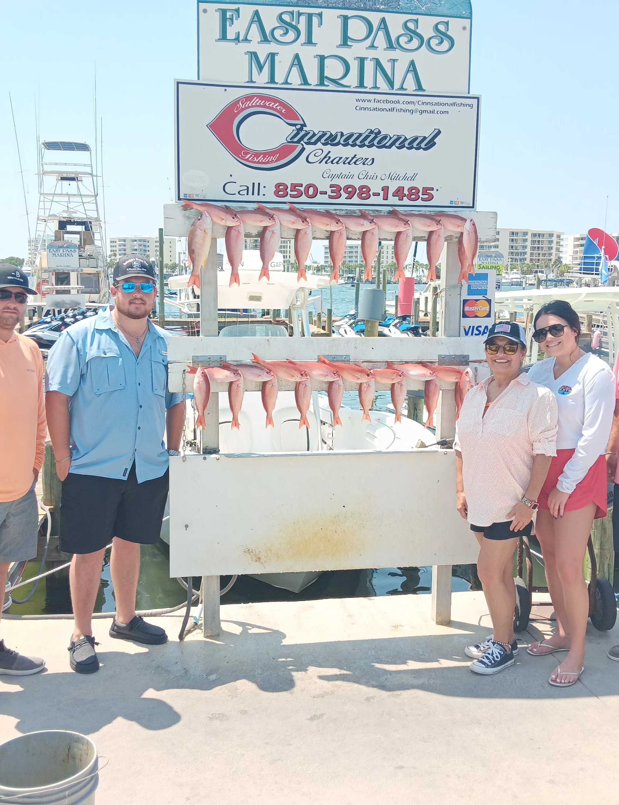
Chris Mitchell
Cinnsational Saltwater Fishing
5.0 (26 reviews)
Top-rated Fishing Charters in Destin, FL
Book on Guidesly, opens in new tab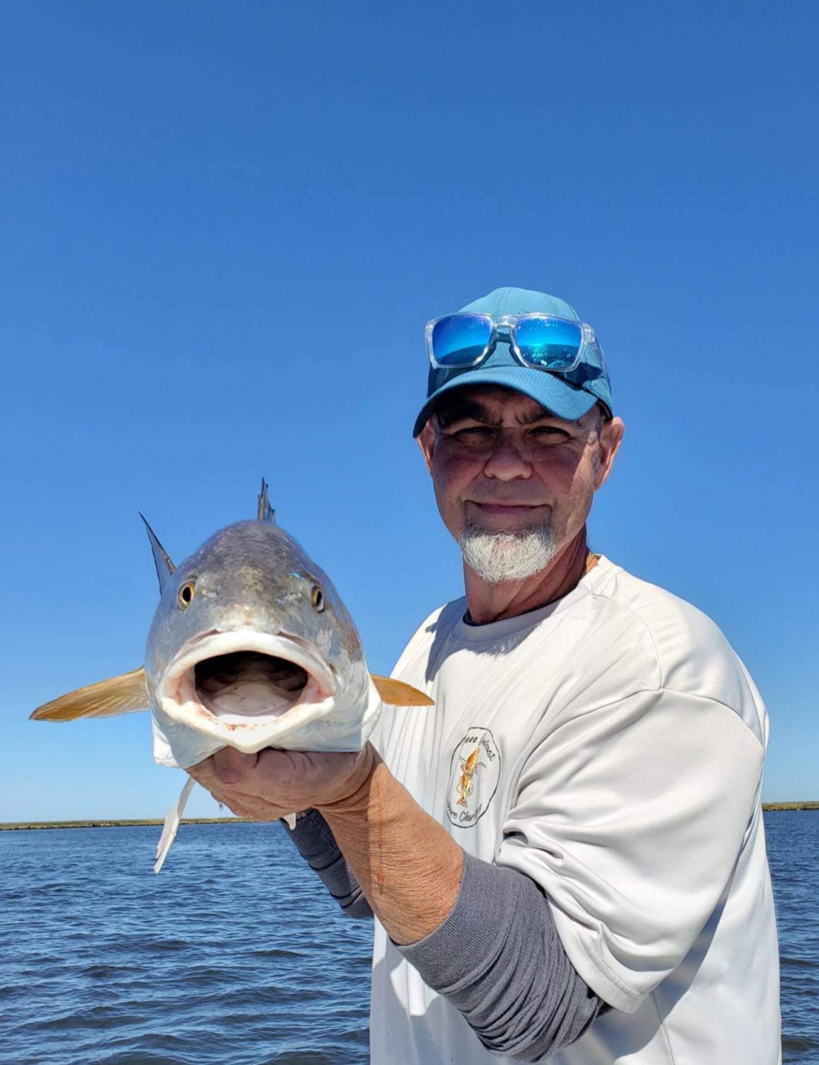
Chad St. Pe
Cajun Outcast Inshore Charters
5.0 (23 reviews)
Experience the thrill of Louisiana fishing
Book on Guidesly, opens in new tab
Charlie Williams
Southern Sun Fishing Charters
4.8 (23 reviews)
O-fish-ally hooked
Book on Guidesly, opens in new tab
Patrick Gallagher
Trick’em Charters
5.0 (21 reviews)
Reel in an Adrenaline Rush, Gulf Shore Style!
Book on Guidesly, opens in new tab
Fish smarter with real-time insights
Whether you're en route and conditions shift or you're looking for the best spot based on current flows, we enable you to make informed decisions on the fly.




Fishing near Gulf Islands National Seashore
Loading...
Gateway towns
Where to base yourself for fishing in Gulf Islands National Seashore.
Primary Florida base with lodging, rentals, and direct access to Fort Pickens and Santa Rosa Island areas.
Gateway to the Naval Live Oaks area and Fort Pickens Road, with services for the Florida district.
Largest nearby city serving Fort Barrancas on Naval Air Station Pensacola, with fishing charters and full visitor services.
Base for the Mississippi district, near Davis Bayou campground and the park's Mississippi visitor center.
Serves the Okaloosa Area at the eastern end of the seashore, with lodging and water-access outfitters.
Gulf Islands National Seashore fishing rules
The park's own rules, on top of Florida licenses and regulations. Limits, fees and closures change, so check the park's page before you go.

State fishing license required
You must have a valid Florida or Mississippi fishing license to fish within the park. Licenses are available through state wildlife agencies and many local bait and tackle shops.

Some piers closed to fishing
The Fort Pickens ferry pier is closed to fishing and netting in Florida. In Mississippi, the Davis Bayou boat ramp finger piers and the Ship Island pier are also closed to fishing and netting.

No commercial fishing allowed
Commercial fishing, including shrimping and crabbing, is prohibited throughout seashore waters in both Florida and Mississippi.

Protect seagrass beds
Do not walk through seagrass beds and do not anchor your boat in them. These habitats are easily damaged by boat groundings, propellers, and anchors.

Vessel exclusion zones near docks
No vessels or persons in the water are allowed within 200 feet of the Fort Pickens fishing pier and ferry dock, or within 200 feet of the Ship Island ferry dock from February 1 through October 31.
Explore Gulf Islands National Seashore
Top fishing waters
Popular Cities
Loading popular cities...

Smarter Fishing Starts in the App.
onWater Fish gives you everything you need to plan smarter, fish better, and own every trip from first cast to last.