Saint Marys River
Saint Marys River
- Boat Ramps
- 11
- Access Points
- 11
- Species
- 26
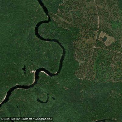
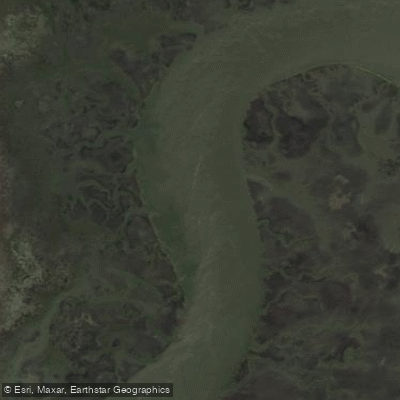
The Saint Marys River is a remarkable 130-mile black water stream that originates in the Okefenokee Swamp and serves as the border between Florida and Georgia. This remote waterway meanders through various landscapes before emptying into the Atlantic Ocean at Cumberland Sound, between St. Marys, Georgia and Amelia Island, Florida. With little development and few river crossings, the Saint Marys offers anglers a true wilderness experience. The river transitions from fresh, tannin-rich water in its upper and middle reaches to a rich estuary of tidal waters as it approaches the ocean, with tidal fluctuations occurring up to 50 miles upriver.
Species & education
Learn what type of fish are at Saint Marys River and what's needed to catch them.

Find which waters have the species you want to catch

Largemouth Bass
Micropterus salmoides

Black Crappie
Pomoxis nigromaculatus
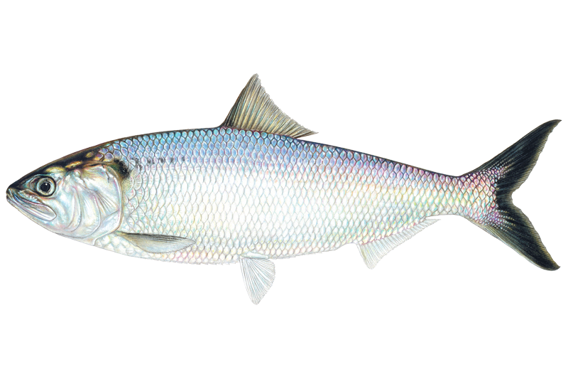
American Shad
Alosa sapidissima

Black Bullhead
Ameiurus melas

Black Drum
Pogonias cromis

Bluegill Sunfish
Lepomis macrochirus

Brown Bullhead
Ameiurus nebulosus

Bull Shark
Carcharhinus leucas
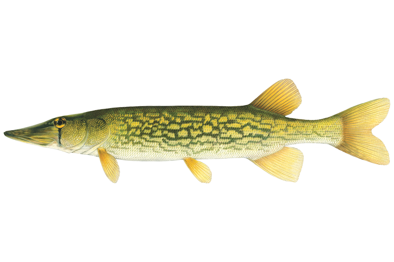
Chain Pickerel
Esox niger

Channel Catfish
Ictalurus punctatus
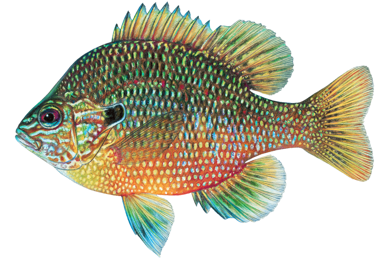
Dollar Sunfish
Lepomis marginatus
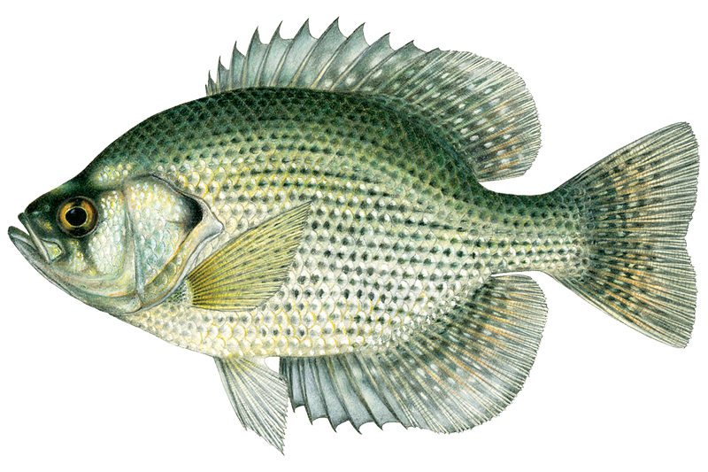
Flier
Centrarchus macropterus
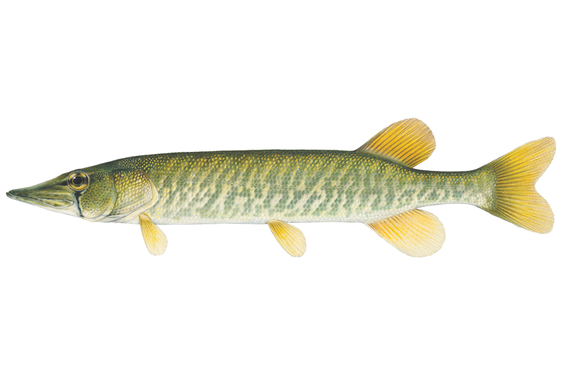
Grass Pickerel
Esox americanus
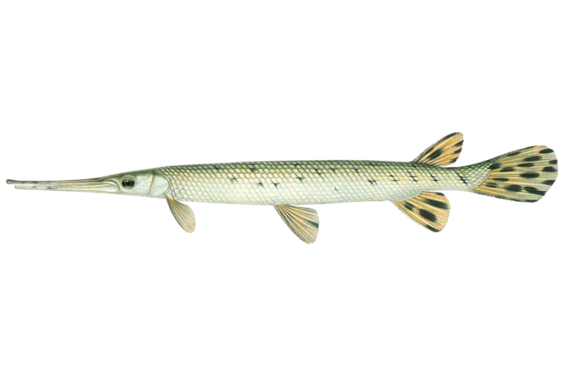
Longnose Gar
Lepisosteus osseus
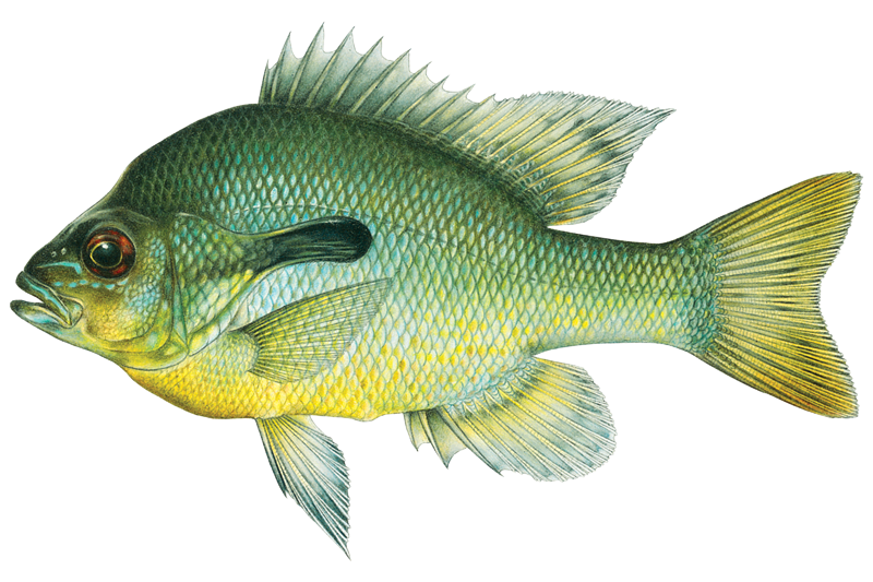
Redbreast Sunfish
Lepomis auritus
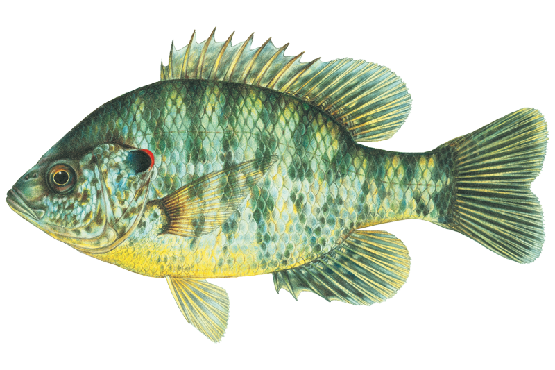
Redear Sunfish
Lepomis microlophus
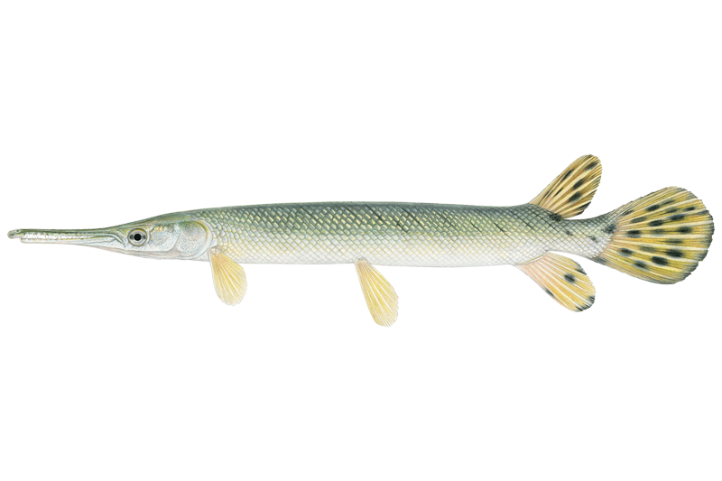
Shortnose Gar
Lepisosteus platostomus
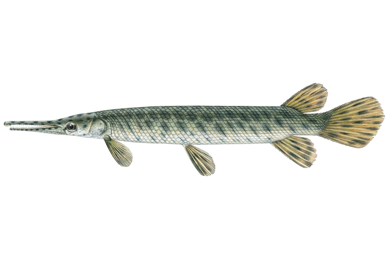
Spotted Gar
Lepisosteus oculatus

Spotted Seatrout
Cynoscion nebulosus
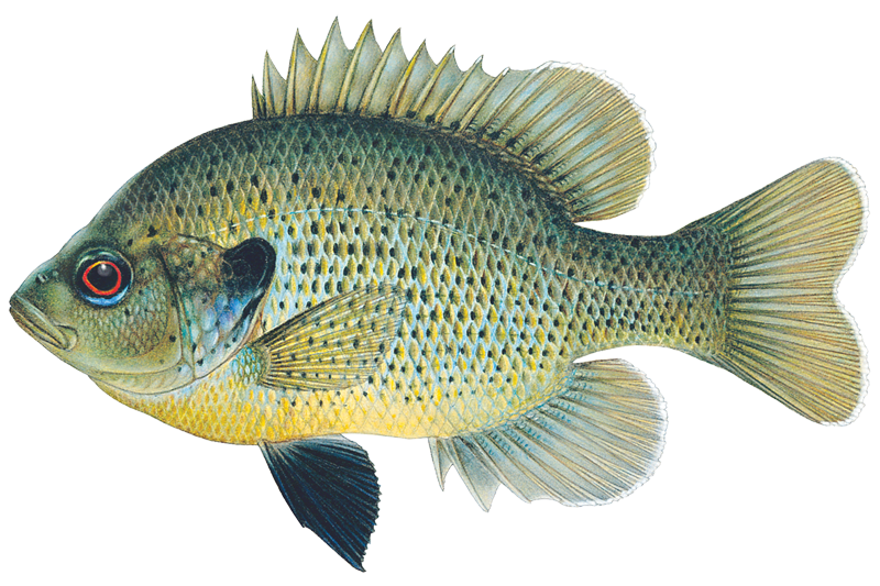
Spotted Sunfish
Lepomis punctatus
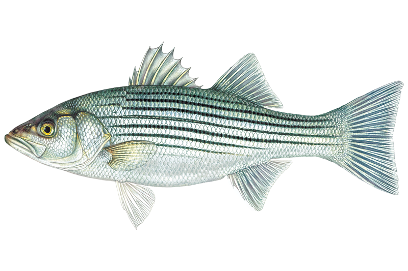
Striped Bass
Morone saxatilis
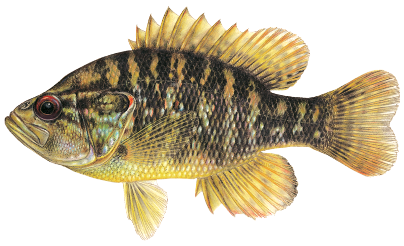
Warmouth Sunfish
Lepomis gulosus

White Bass
Morone chrysops
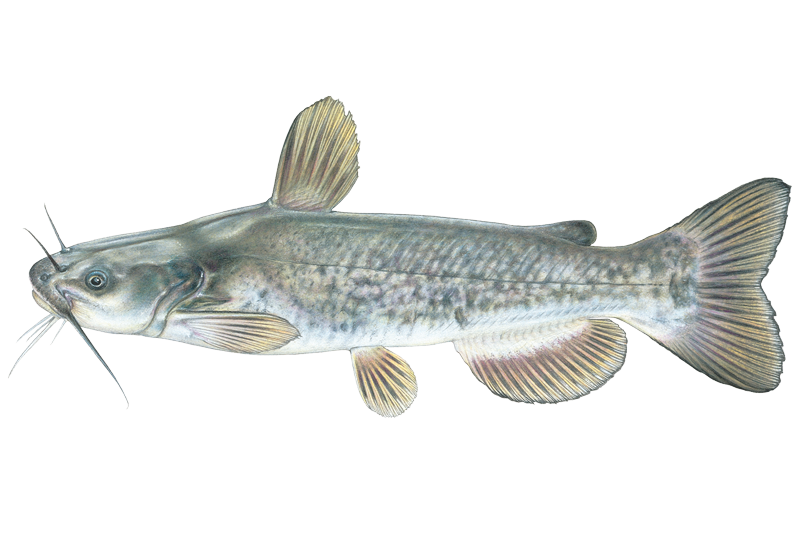
White Catfish
Ameiurus catus
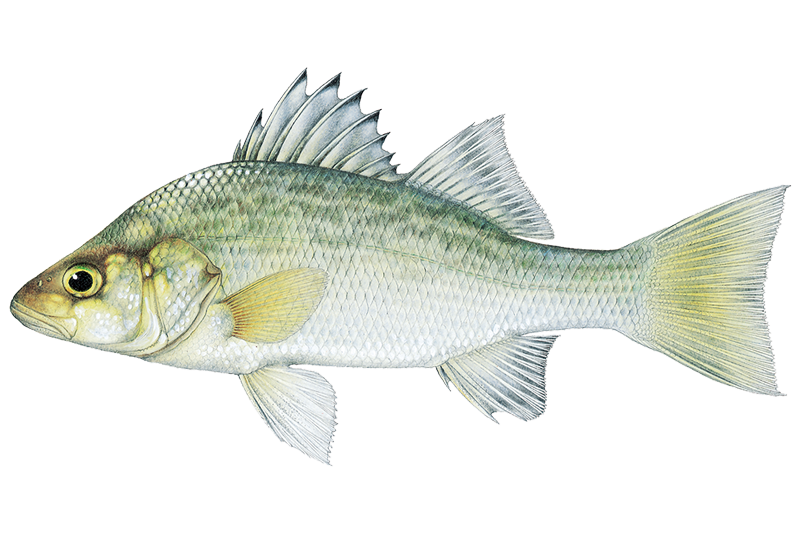
White Perch
Morone americana

Yellow Bullhead
Ameiurus natalis
Fishing spots, boat ramps & amenities
Learn how to get on Saint Marys River. Uncover great fishing access points, boat ramps, and all the facilities you need for an unforgettable day on the water. Some locations shown may border or include private property. Always check property boundaries and applicable regulations before visiting. onWater's Public & Private Land layer can help you plan your access with confidence.
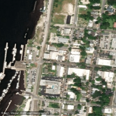
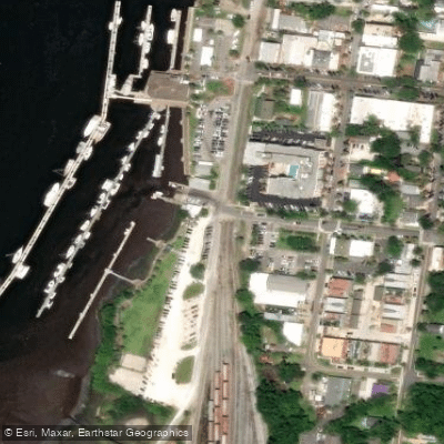
Know where you can legally fish on Saint Marys River
See public and private land boundaries along the water, turn on private parcels with owner details to know where permission is required, and find land-trust parcels that offer permitted fishing access.
Georgia licenses and regulations

Georgia Boating Regulations
When using any type of watercraft to access a body of water, it is important to follow all federal, state, and local rules and regulations. These rules and regulations include boat permitting and licensing, invasive species inspections and stamps, life jacket and PFD rules, motor size and horsepower restrictions, noise limitations, restrictions on personal watercraft, and many more. Visit the web link below for the most current rules and regulations for this body of water.

Georgia Delayed Harvest Streams
Anglers fishing delayed harvest streams must release all trout immediately and use and possess only artificial lures with one single hook per lure from Nov. 1–May 14 annually. The use of additional “dropper” lures on one line is permitted as long as each lure contains one single hook. These restrictions do not apply from May 15–Oct. 31 of each year.

Georgia Fishing License
Anglers age 16 and older must have a current Georgia fishing license in their possession while fishing in fresh or salt water in Georgia. Additionally, a free SIP is required to fish in saltwater. A temporary authorization number obtained by telephone or internet sale may be used for seven days until the paper copy is received or printed. Game Wardens may require photo identification when checking fishing licenses. Exception: A fishing license is not required to fish in private ponds (does not include ponds owned by governments—city, county, state, or federal) nor by a resident and their immediate family when fishing on their land.

Georgia Fishing Regulations
When using any type of watercraft to access a body of water, it is important to follow all federal, state, and local rules and regulations. These rules and regulations include boat permitting and licensing, invasive species inspections and stamps, life jacket and PFD rules, motor size and horsepower restrictions, noise limitations, restrictions on personal watercraft, and many more. Visit the web link below for the most current rules and regulations for this body of water.

Georgia Stream Access Laws
Navigable waters are those capable of regular barge traffic. The public may boat and fish to the low water mark only where the streambed is owned by the state. If the streambeds are private, you need permission to wade and fish.
Take Saint Marys River with you
The onWater Fish app keeps this water's access points, species and conditions in your pocket, with the tools you use once you're there.
Use the map without signal
Download the map around Saint Marys River to use it offline when coverage drops.
Log your catches here
Keep a private fishing journal for Saint Marys River to find where and when fish are biting for you.
Get the onWater Fish app
Free on iOS and Android
Water and weather conditions (10 day forecast)
See the best times to fish Saint Marys River and check the forecast before you go.
ST MARYS RIVER AT FERRY LANDING NEAR FOLKSTON, GA
All Flow Stations
Saint Marys River fishing guides
Book a trip with a local fishing guide through Guidesly.

Tripp Lang
Captain Tripp Lang's Charters
5.0 (11 reviews)
Discover Georgia's Fishing Charters Haven
Book on Guidesly, opens in new tab
Kenny Crawford
Crawfish Charters
5.0 (4 reviews)
Book Amelia Island Fishing Charters!
Book on Guidesly, opens in new tab
Ben Allen
Cumberland Fishing Charters
Top Fishing Charters in St Marys GA, Book Now!
Book on Guidesly, opens in new tab
Fishing near Saint Marys River
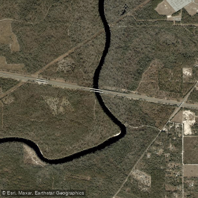
Suwannee River
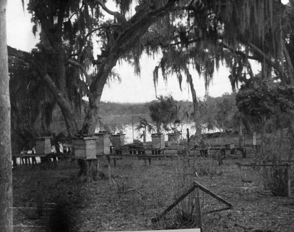
Saint Johns River
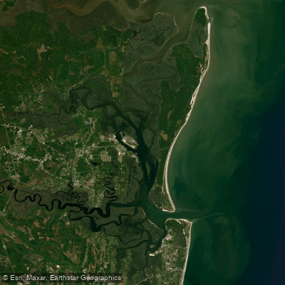
Cumberland Sound
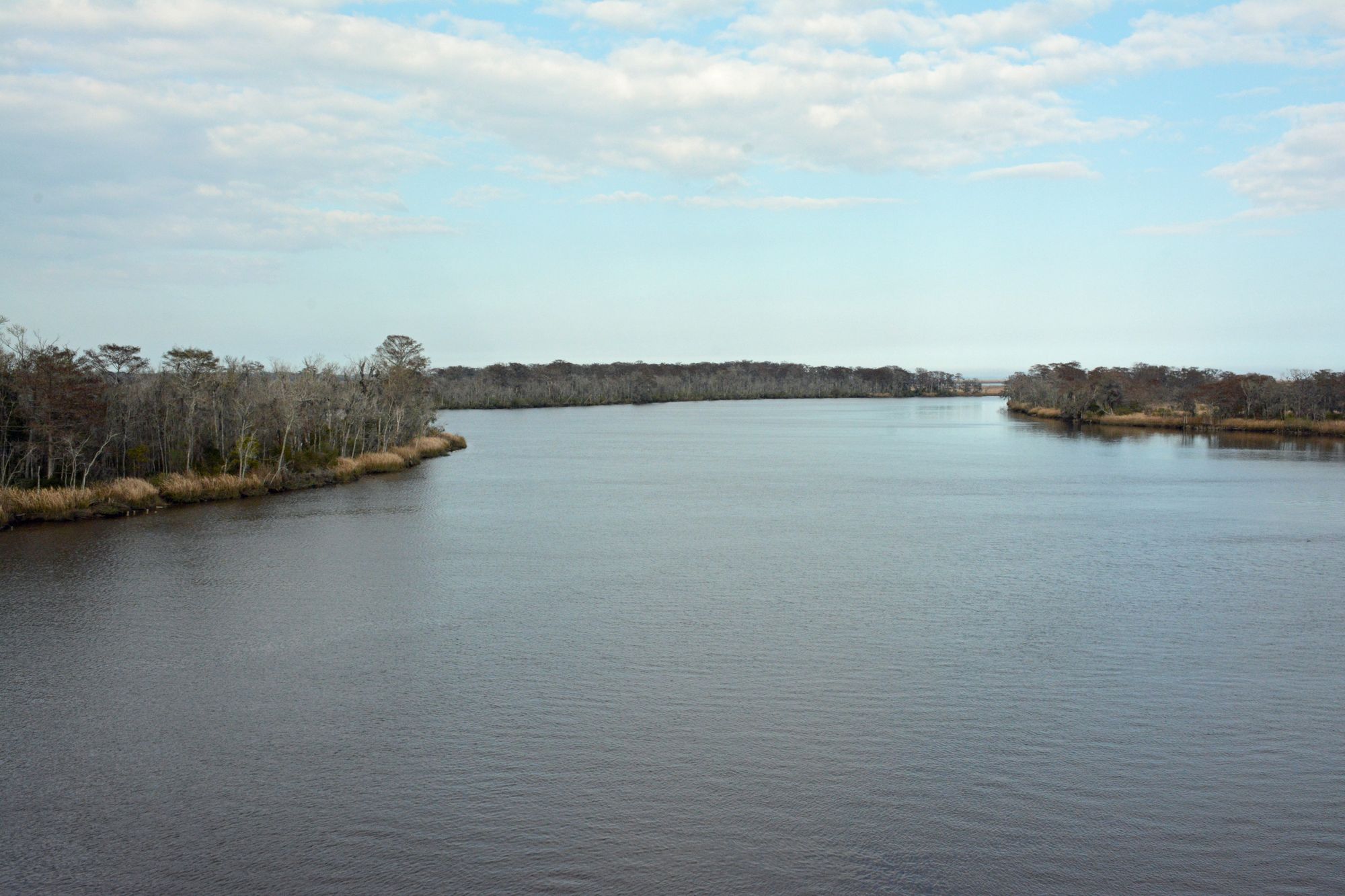
Altamaha River
Satilla River
Saint Andrew Sound
Perch Lake
Jekyll Sound
Crooked River
Explore Georgia waters
Top fishing waters
Popular Cities
Loading popular cities...
Explore near Saint Marys River
Fish species
Fishing spots
- State Highway 94 Boat Ramp
- Camp Pinckney Landing Boat Ramp
- Traders Hill Boat Ramp
- Prospect Boat Ramp
- Walker Landing Boat Ramp
- Temple Landing Boat Ramp
- Kings Ferry Boat Ramp
- Steel Bridge Road Boat Ramp
- Walker Landing (aka. Scott's Landing) Boat Ramp
- St. Mary's Cove Public Boat Ramp
- St. Marys River Boat Ramp
- N Prong St Marys Riv O/f Bridge
- All 103 spots
Nearby waters
More in Georgia

Smarter Fishing Starts in the App.
onWater Fish gives you everything you need to plan smarter, fish better, and own every trip from first cast to last.