Wilson Creek
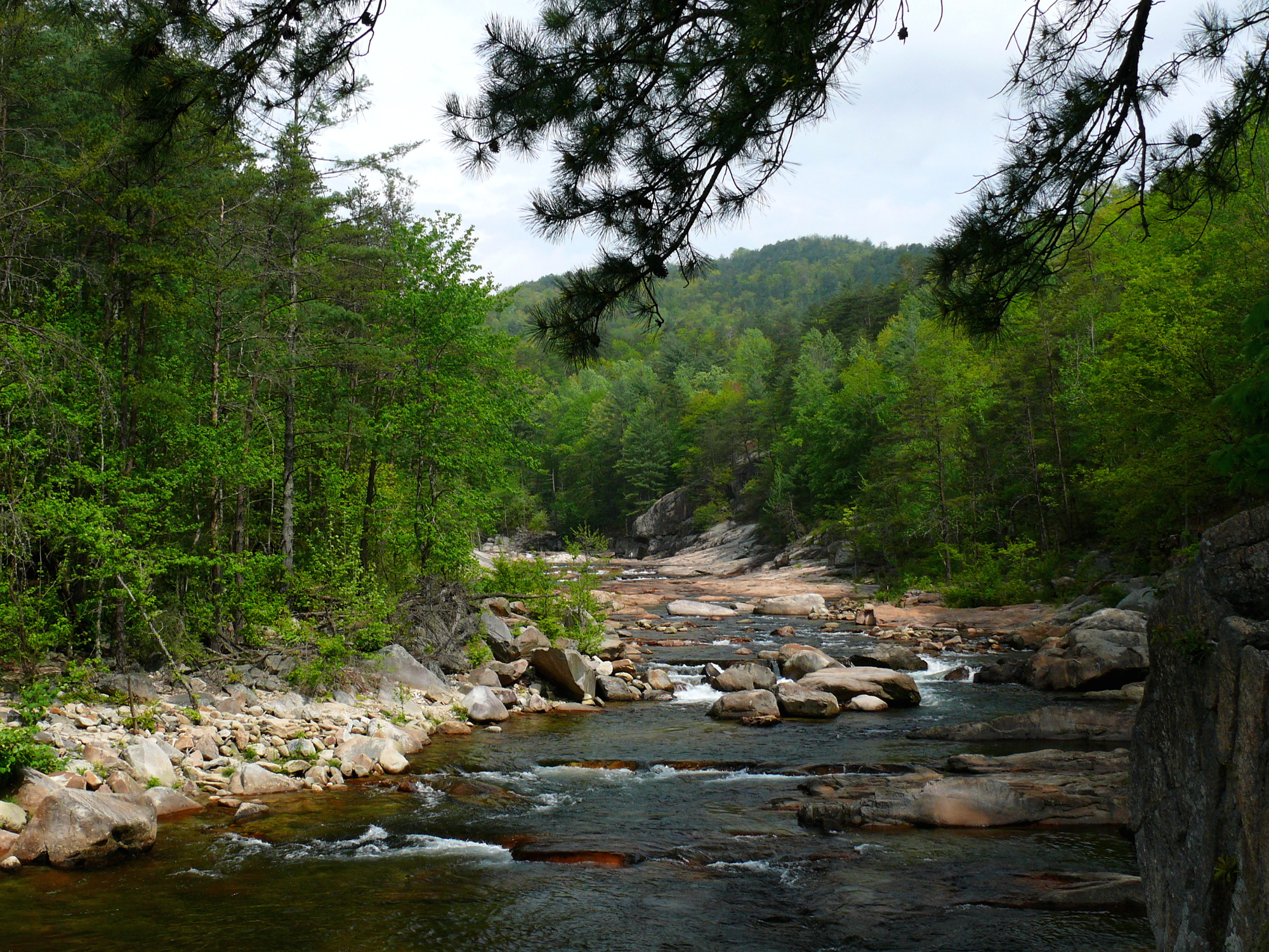
Wilson Creek
- Boat Ramps
- 2
- Access Points
- 6
- Species
- 5
Wilson Creek is a designated National Wild and Scenic River that flows approximately 23 miles from its headwaters on Grandfather Mountain near the Blue Ridge Parkway to its confluence with the Johns River. This freestone mountain stream descends through both Avery and Caldwell Counties within the Grandfather District of Pisgah National Forest, offering diverse fishing opportunities across its length. The creek transitions from a small to medium-sized stream in the upper reaches to larger, more accessible waters downstream. Originally used as hunting grounds by Cherokee Indians and later as the site of extensive logging operations beginning in the 1750s, Wilson Creek has evolved into one of North Carolina's premier trout fishing destinations. The stream features a mix of runs, riffles, plunges, short pools, and cascading sections, flowing through steep wooded valleys and the dramatic Wilson Creek Gorge. Both public and private lands border the creek, creating varying access conditions throughout its course.
Species & education
Learn what type of fish are at Wilson Creek and what's needed to catch them.

Find which waters have the species you want to catch

Smallmouth Bass
Micropterus dolomieu

Rainbow Trout
Oncorhynchus mykiss

Brown Trout
Salmo trutta

Brook Trout
Salvelinus fontinalis
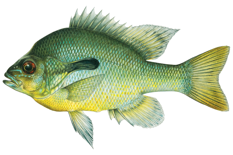
Redbreast Sunfish
Lepomis auritus
Fishing spots, boat ramps & amenities
Learn how to get on Wilson Creek. Uncover great fishing access points, boat ramps, and all the facilities you need for an unforgettable day on the water. Some locations shown may border or include private property. Always check property boundaries and applicable regulations before visiting. onWater's Public & Private Land layer can help you plan your access with confidence.
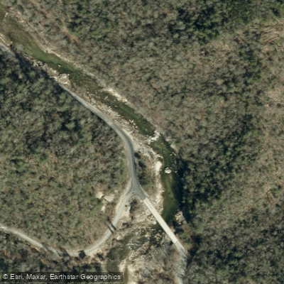
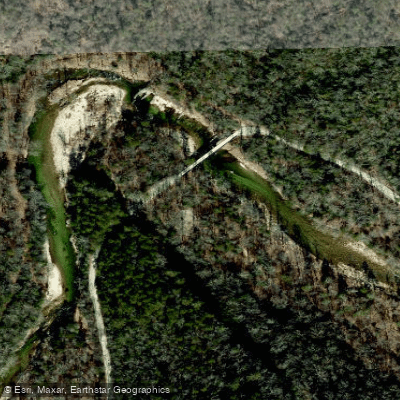
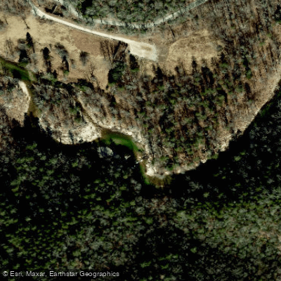
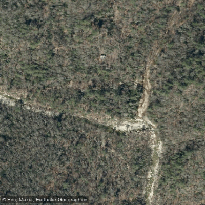
Know where you can legally fish on Wilson Creek
See public and private land boundaries along the water, turn on private parcels with owner details to know where permission is required, and find land-trust parcels that offer permitted fishing access.
North Carolina licenses and regulations

North Carolina Boating Regulations
When using any type of watercraft to access a body of water, it is important to follow all federal, state, and local rules and regulations. These rules and regulations include boat permitting and licensing, invasive species inspections and stamps, life jacket and PFD rules, motor size and horsepower restrictions, noise limitations, restrictions on personal watercraft, and many more. Visit the web link below for the most current rules and regulations for this body of water.

North Carolina Fishing License
Youth under age 16 are exempt from the requirements of any fishing license and trout privilege license.

North Carolina Fishing Regulations
This river has a variety of species and regulations, including potential floating and/or watercraft restrictions. Because this river is specially managed for species, seasons, angling methods, and watercraft, it is strongly encouraged you check all federal, state, and local regulations before fishing. Visit any of the links below, inquire locally, or contact a local fly shop to learn current regulations and restrictions.

North Carolina Stream Access Laws
If a boater can float the water, it is navigable and can be used for recreation. Navigable waters are in the public trust, including streambeds. If the navigable water is tidal, public use extends to all waters that cover an average high tide.
Take Wilson Creek with you
The onWater Fish app keeps this water's access points, species and conditions in your pocket, with the tools you use once you're there.
Use the map without signal
Download the map around Wilson Creek to use it offline when coverage drops.
Log your catches here
Keep a private fishing journal for Wilson Creek to find where and when fish are biting for you.
Get the onWater Fish app
Free on iOS and Android
Water and weather conditions (10 day forecast)
See the best times to fish Wilson Creek and check the forecast before you go.
WILSON CREEK AT SECONDARY ROAD 1335 AT ADAKO, NC
Fishing near Wilson Creek
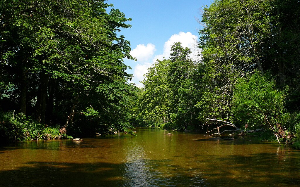
Watauga River
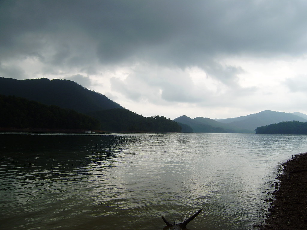
Watauga Lake
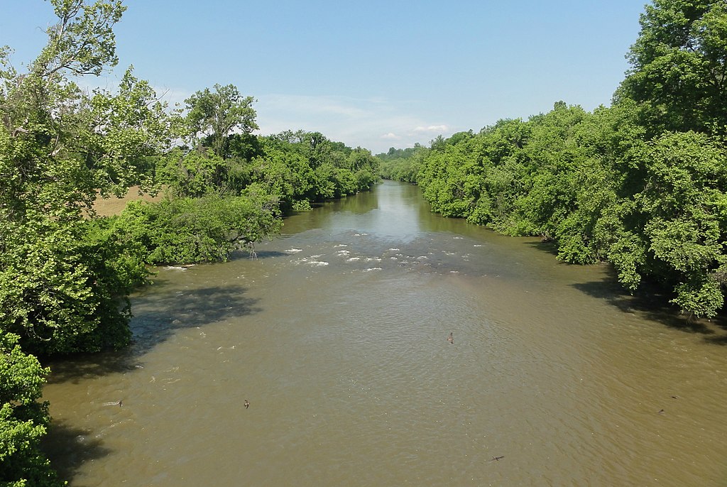
Yadkin River
Linville River
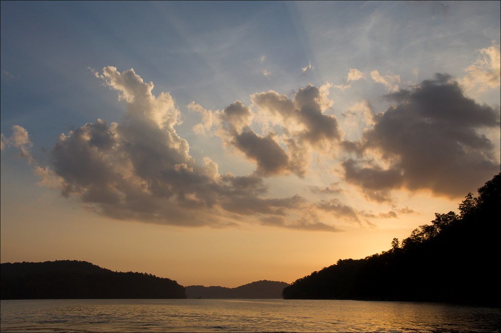
South Holston Lake
New River
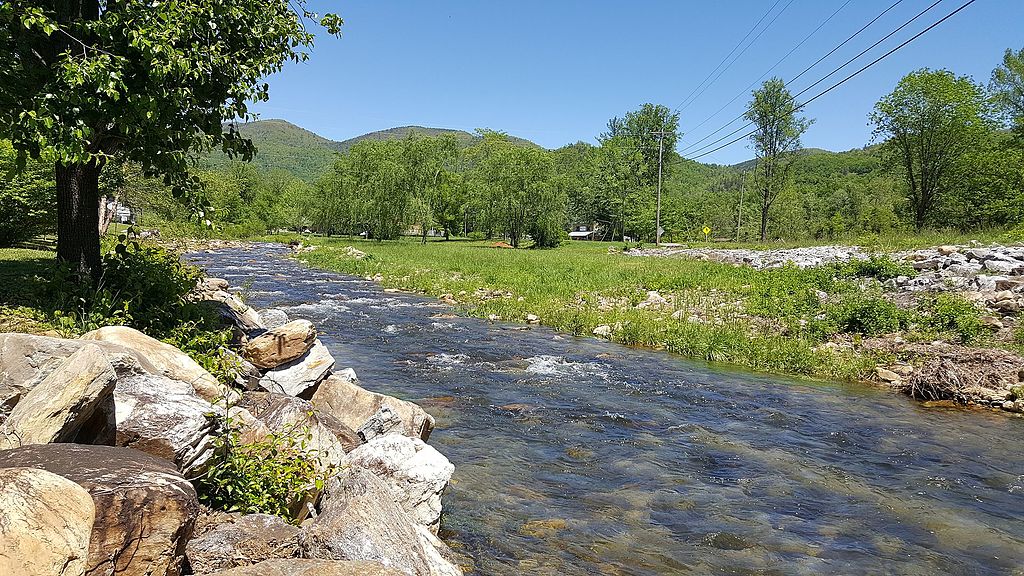
Catawba River
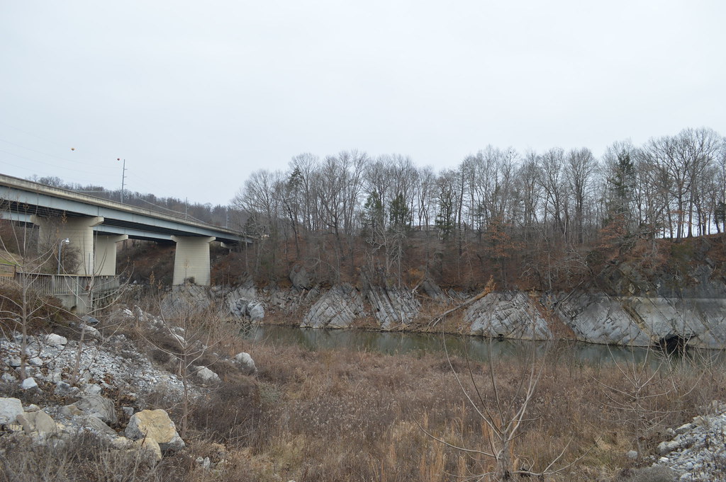
Boone Lake
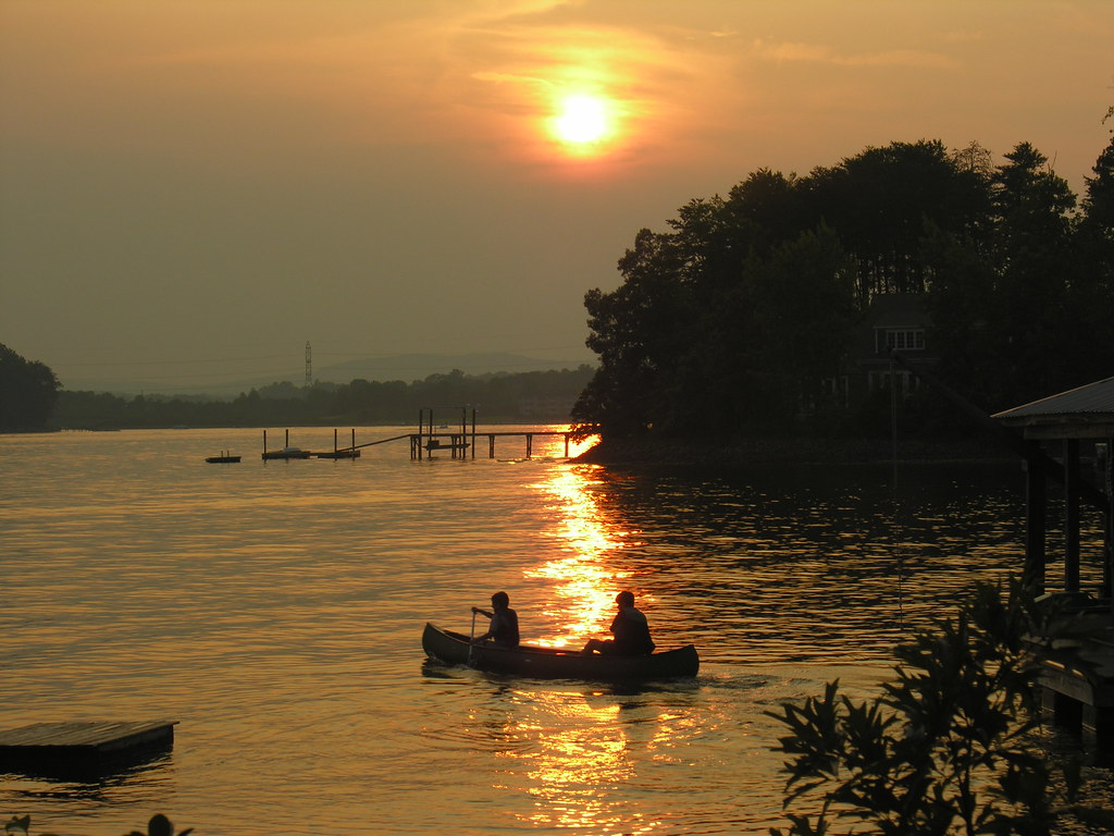
Lake Norman
Explore North Carolina waters
Top fishing waters
Popular Cities
Loading popular cities...
Explore near Wilson Creek
Fishing spots
Nearby waters
More in North Carolina

Smarter Fishing Starts in the App.
onWater Fish gives you everything you need to plan smarter, fish better, and own every trip from first cast to last.