Floyds Fork
Floyds Fork
- Boat Ramps
- 9
- Access Points
- 9
- Species
- 26
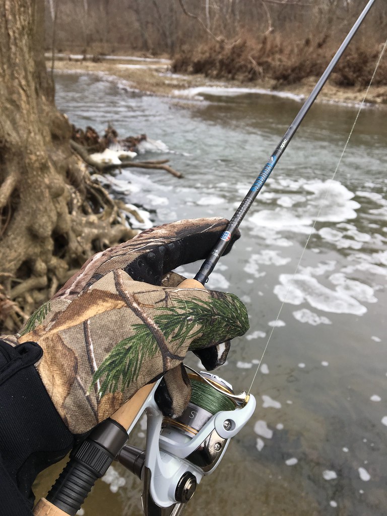
Floyds Fork is a 62-mile tributary of the Salt River that begins in Henry County, flows through eastern Jefferson County, and ultimately joins the Salt River near Shepherdsville in Bullitt County, Kentucky. Located just east of Louisville, this picturesque waterway forms the backbone of the 4,000-acre Parklands of Floyds Fork, a series of five interconnected parks offering excellent recreational opportunities. With its rocky bottom, small rapids, flowing shoals, and long, deep pools, Floyds Fork provides ideal habitat for a variety of fish species. The stream is particularly valued as it represents the least environmentally compromised watershed in Jefferson County, and its rural character has been preserved through thoughtful zoning regulations established in 1993.
Species & education
Learn what type of fish are at Floyds Fork and what's needed to catch them.

Find which waters have the species you want to catch

Largemouth Bass
Micropterus salmoides

Smallmouth Bass
Micropterus dolomieu

Rainbow Trout
Oncorhynchus mykiss

Black Crappie
Pomoxis nigromaculatus

Black Bullhead
Ameiurus melas
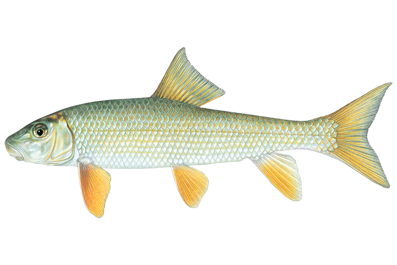
Black Redhorse
Moxostoma duquesnei

Bluegill Sunfish
Lepomis macrochirus

Channel Catfish
Ictalurus punctatus

Common Carp
Cyprinus carpio

Flathead Catfish
Pylodictis olivaris
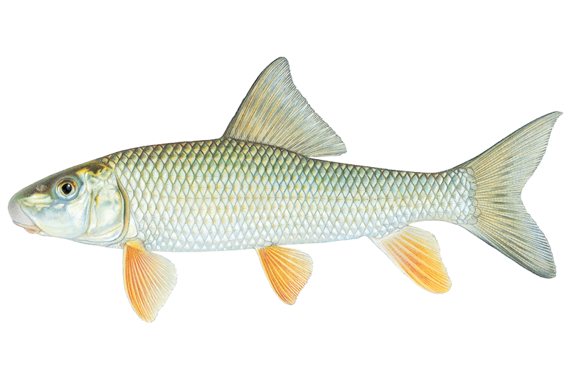
Golden Redhorse
Moxostoma erythrurum
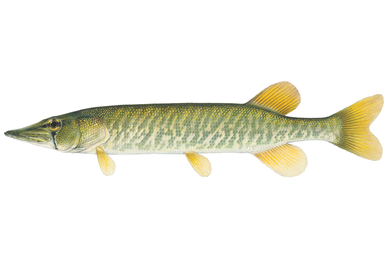
Grass Pickerel
Esox americanus

Green Sunfish
Lepomis cyanellus

Longear Sunfish
Lepomis megalotis
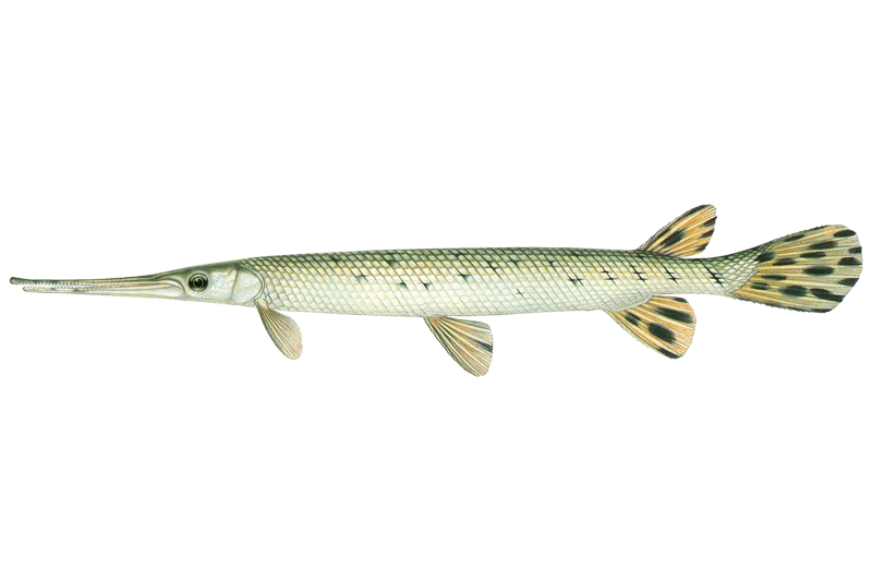
Longnose Gar
Lepisosteus osseus
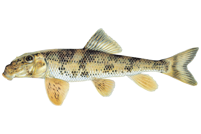
Northern Hogsucker
Hypentelium nigricans

Orangespotted Sunfish
Lepomis humilis

Quillback Carpsucker
Carpiodes cyprinus

Rock Bass
Ambloplites rupestris
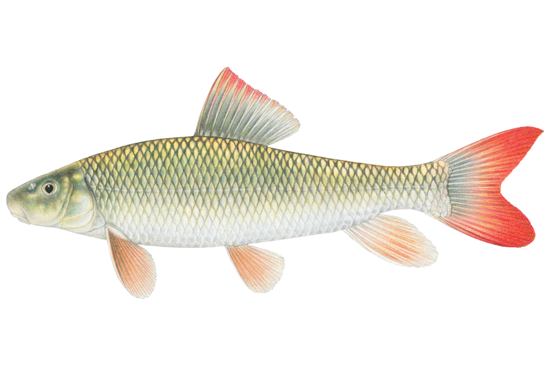
Shorthead Redhorse Sucker
Moxostoma macrolepidotum
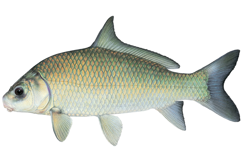
Smallmouth Buffalo
Ictiobus bubalus
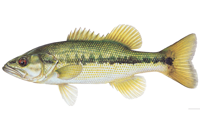
Spotted Bass
Micropterus punctulatus
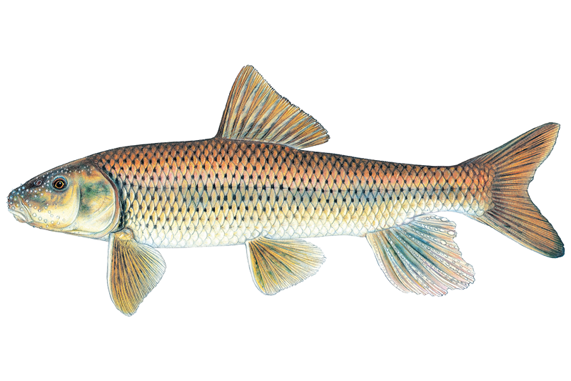
Spotted Sucker
Minytrema melanops
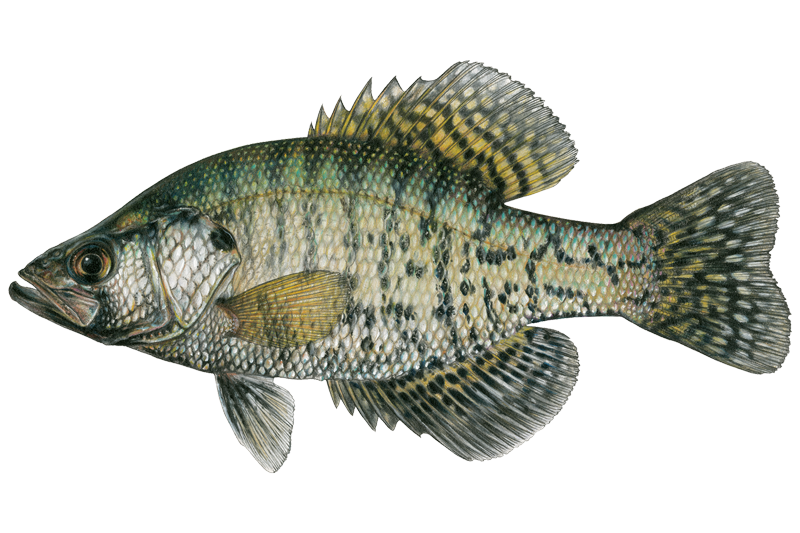
White Crappie
Pomoxis annularis

White Sucker
Catostomus commersonii

Yellow Bullhead
Ameiurus natalis
Fish stocking schedule
All stockings · 2
- Trout2,000 fishNov 4, 2026
- Trout2,000 fishOct 7, 2026
Source
Kentucky Department of Fish & Wildlife Resources
Updated Nov 13, 2026. Dates are as precise as the agency reports them.
Open stocking page, opens in new tabFishing spots, boat ramps & amenities
Learn how to get on Floyds Fork. Uncover great fishing access points, boat ramps, and all the facilities you need for an unforgettable day on the water. Some locations shown may border or include private property. Always check property boundaries and applicable regulations before visiting. onWater's Public & Private Land layer can help you plan your access with confidence.
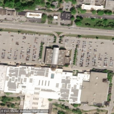
Know where you can legally fish on Floyds Fork
See public and private land boundaries along the water, turn on private parcels with owner details to know where permission is required, and find land-trust parcels that offer permitted fishing access.
Kentucky licenses and regulations

Kentucky Boating Regulations
When using any type of watercraft to access a body of water, it is important to follow all federal, state, and local rules and regulations. These rules and regulations include boat permitting and licensing, invasive species inspections and stamps, life jacket and PFD rules, motor size and horsepower restrictions, noise limitations, restrictions on personal watercraft, and many more. Visit the web link below for the most current rules and regulations for this body of water.

Kentucky Fishing License
All persons must fill out and carry the proper license and permit to fish any Kentucky waters except residents and nonresidents age 15 and younger.

Kentucky Fishing Regulations
This river has a variety of species and regulations, including potential floating and/or watercraft restrictions. Because this river is specially managed for species, seasons, angling methods, and watercraft, it is strongly encouraged you check all federal, state, and local regulations before fishing. Visit any of the links below, inquire locally, or contact a local fly shop to learn current regulations and restrictions.

Kentucky Stream Access Laws
Public usage is limited to larger waterways with more permanent commerce and transportation. The public right to navigation includes boating, fishing, swimming, temporary anchorage and incidental use of the riverbed, regardless of streambed ownership.
Take Floyds Fork with you
The onWater Fish app keeps this water's access points, species and conditions in your pocket, with the tools you use once you're there.
Use the map without signal
Download the map around Floyds Fork to use it offline when coverage drops.
Log your catches here
Keep a private fishing journal for Floyds Fork to find where and when fish are biting for you.
Get the onWater Fish app
Free on iOS and Android
Water and weather conditions (10 day forecast)
See the best times to fish Floyds Fork and check the forecast before you go.
FLOYDS FORK NEAR PEWEE VALLEY, KY
All Flow Stations
Fishing near Floyds Fork
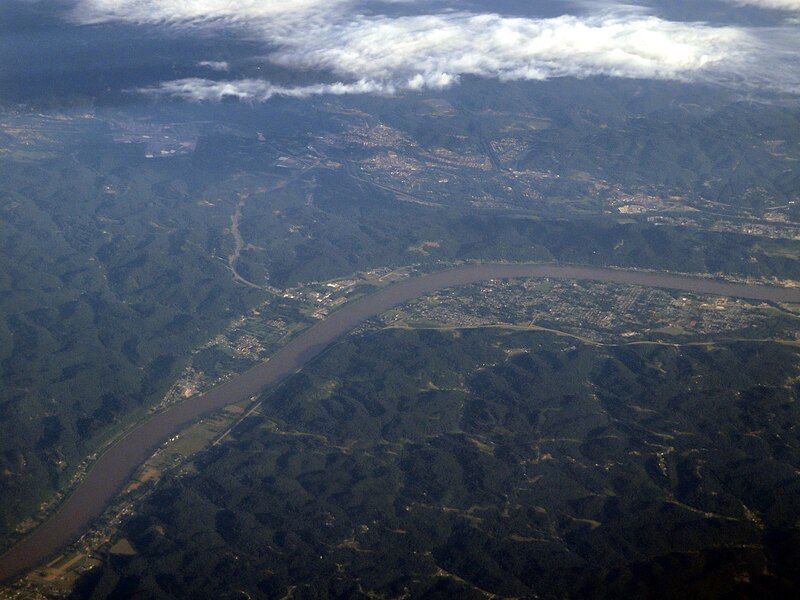
Ohio River
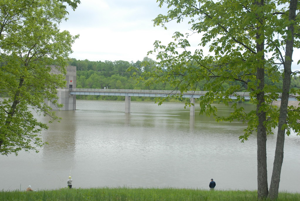
Taylorsville Lake
Kentucky River
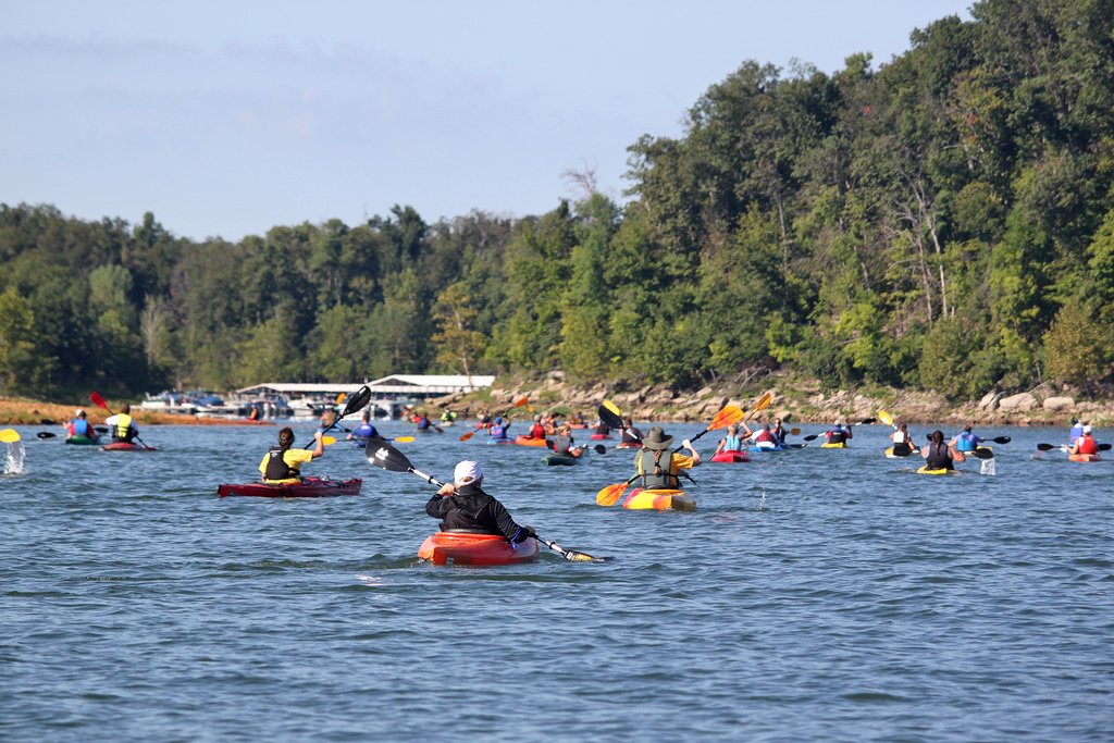
Rough River
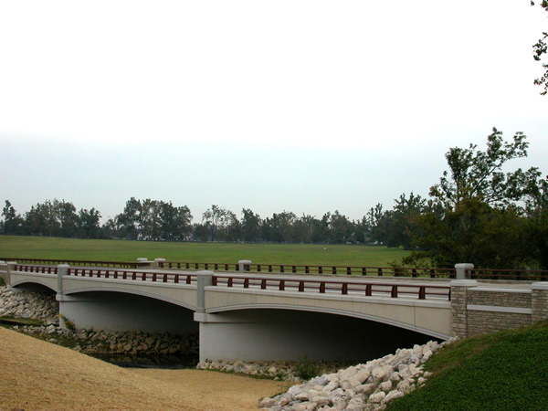
North Elkhorn Creek
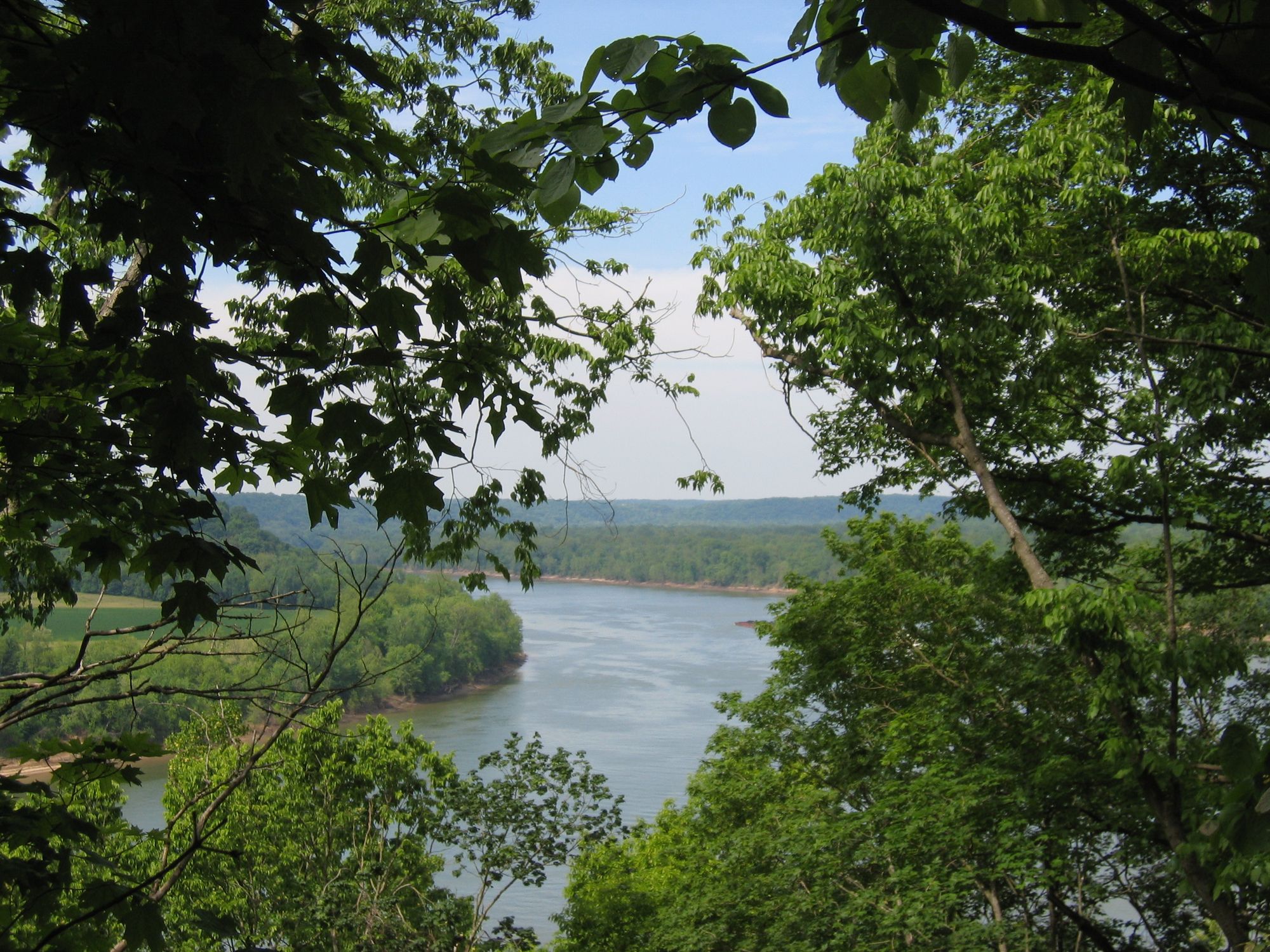
Otter Creek
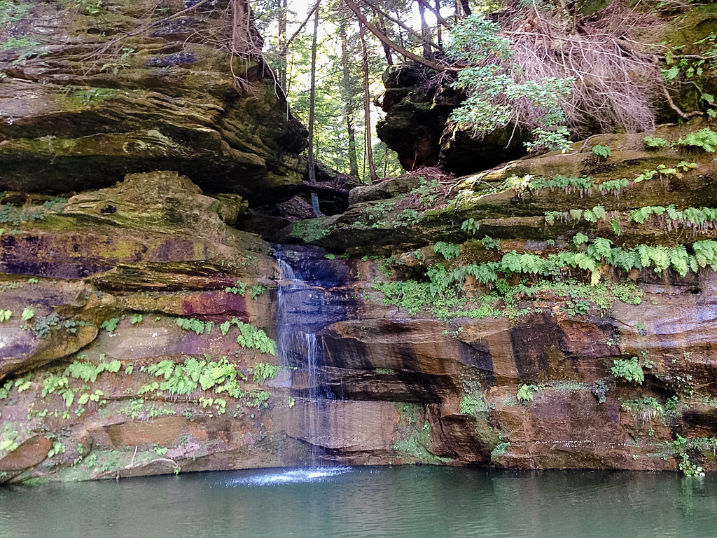
Nolin River
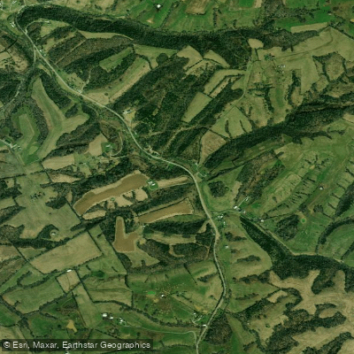
Salt River
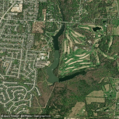
Mc Neely Lake
Explore Kentucky waters
Top fishing waters
Popular Cities
Loading popular cities...
Explore near Floyds Fork
Fish species
Fishing spots
- KOA Camp Boat Ramp
- Seaton Valley Paddling Boat Ramp
- Broad Run Valley Paddling Boat Ramp
- Creekside Boat Ramp
- Cliffside Paddling Boat Ramp
- Fisherville Boat Ramp
- North Beckley Boat Ramp
- Fisherville Canoe Access Boat Ramp
- Cane Run Boat Ramp
- Floyds Fork Bridge
- Floyds Fork Bridge
- Beckley Pkwy & Floyds Fk Bridge
- All 99 spots
Nearby waters
More in Kentucky

Smarter Fishing Starts in the App.
onWater Fish gives you everything you need to plan smarter, fish better, and own every trip from first cast to last.