Saline River
Saline River
- Boat Ramps
- 22
- Access Points
- 22
- Species
- 35
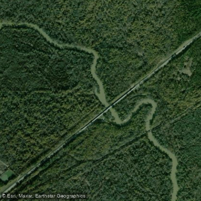
The Saline River stands as Arkansas's longest river flowing entirely within state borders, stretching 202 miles from the eastern foothills of the Ouachita Mountains to its confluence with the Ouachita River at Felsenthal National Wildlife Refuge. Beginning with four major headwater tributaries—the South Fork, Middle Fork, Alum Fork, and North Fork—that merge northwest of Benton in Saline County, the river traverses through Grant, Cleveland, Dallas, Drew, Bradley, and Ashley Counties before reaching its terminus. As the last major undammed stream in the entire Ouachita Mountain drainage, the Saline retains a wilderness character along much of its length, with dense forests lining its banks and creating an illusion of remoteness despite its accessibility. The river supports 75 of Arkansas's 241 fish species, including five rare species considered of greatest conservation need and the endemic Ouachita madtom that lives nowhere else. Over half of Arkansas's 85 mussel species inhabit these waters, including the Arkansas fatmucket found only in the upper Saline watershed and three other Ouachita Mountain streams. This pristine waterway offers exceptional fishing, scenery, and wilderness floating opportunities while remaining one of the most underrated and overlooked rivers in the Natural State.
Species & education
Learn what type of fish are at Saline River and what's needed to catch them.

Find which waters have the species you want to catch

Largemouth Bass
Micropterus salmoides

Smallmouth Bass
Micropterus dolomieu
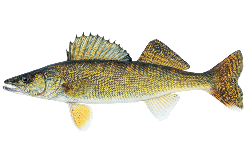
Walleye
Sander vitreus

Black Crappie
Pomoxis nigromaculatus
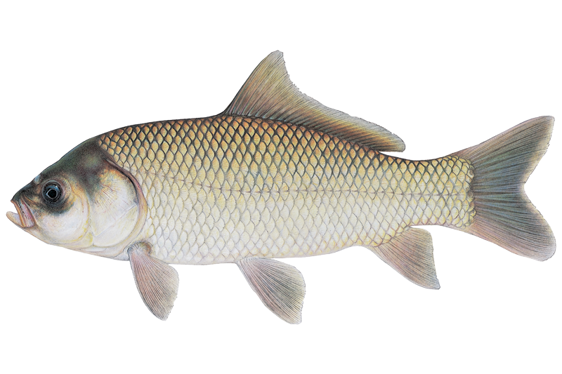
Bigmouth Buffalo
Ictiobus cyprinellus

Black Bullhead
Ameiurus melas
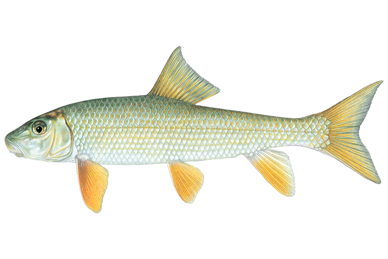
Black Redhorse
Moxostoma duquesnei

Bluegill Sunfish
Lepomis macrochirus
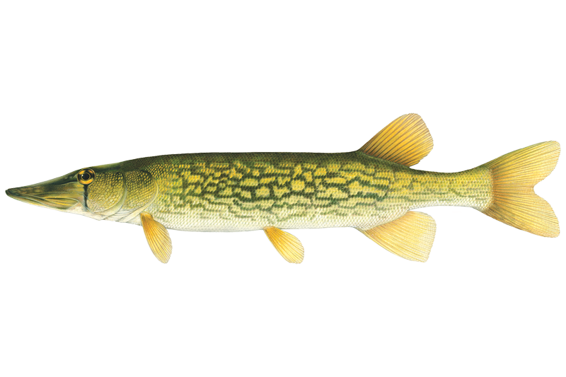
Chain Pickerel
Esox niger

Channel Catfish
Ictalurus punctatus

Common Carp
Cyprinus carpio
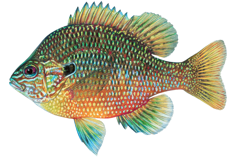
Dollar Sunfish
Lepomis marginatus

Flathead Catfish
Pylodictis olivaris
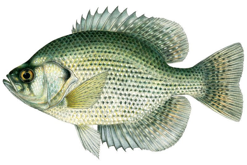
Flier
Centrarchus macropterus
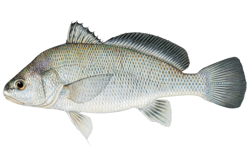
Freshwater Drum
Aplodinotus grunniens
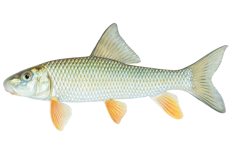
Golden Redhorse
Moxostoma erythrurum
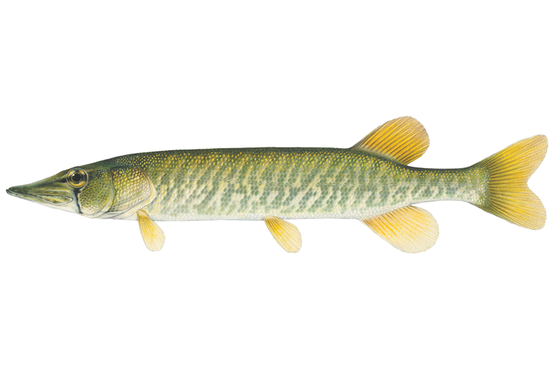
Grass Pickerel
Esox americanus

Green Sunfish
Lepomis cyanellus

Longear Sunfish
Lepomis megalotis
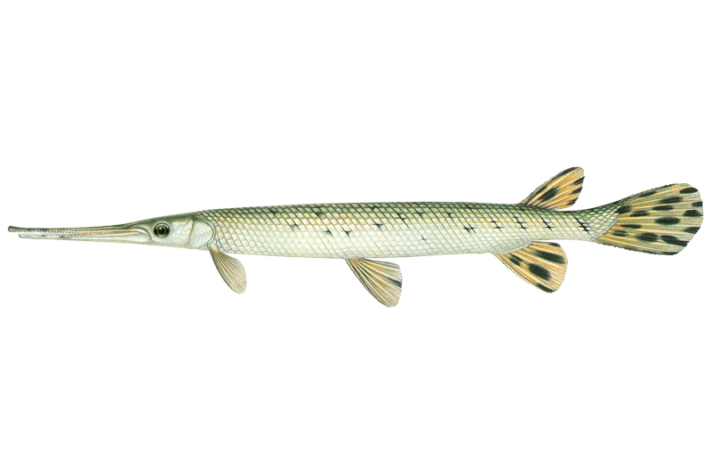
Longnose Gar
Lepisosteus osseus
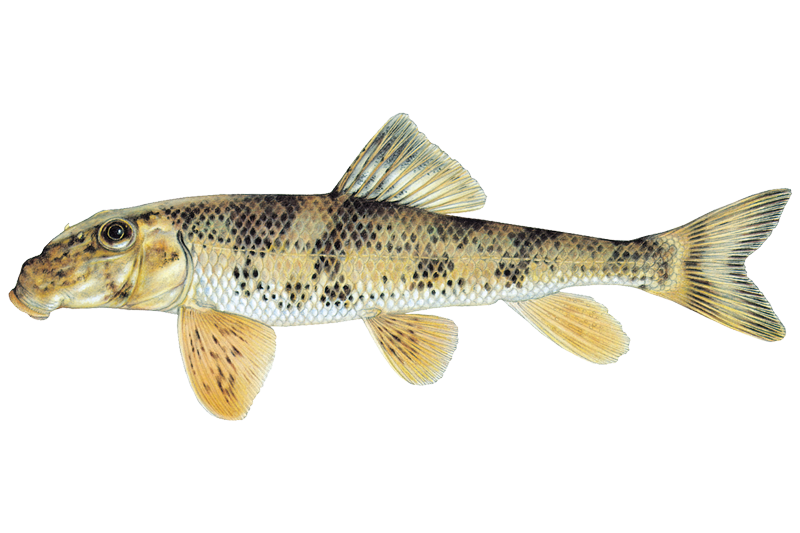
Northern Hogsucker
Hypentelium nigricans

Orangespotted Sunfish
Lepomis humilis
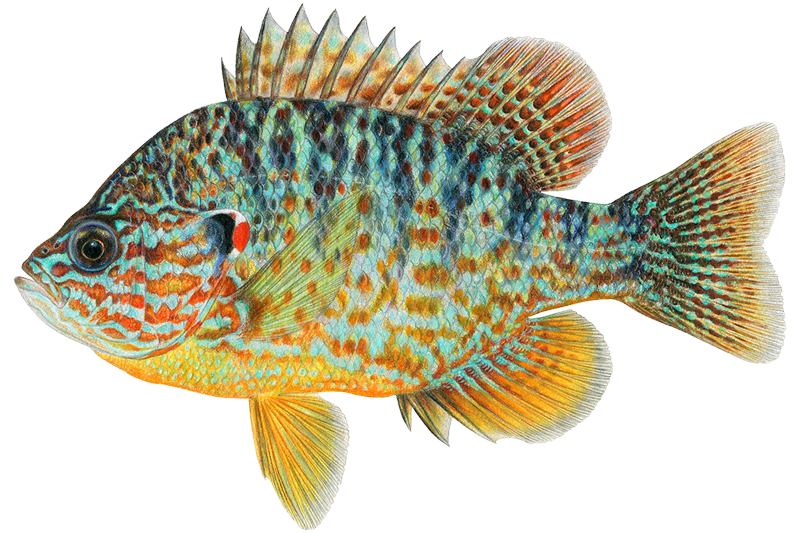
Pumpkinseed
Lepomis gibbosus
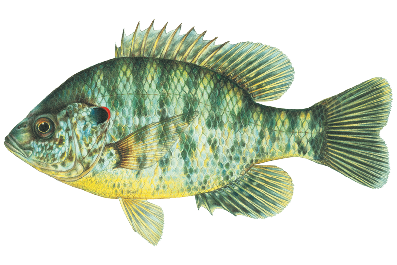
Redear Sunfish
Lepomis microlophus
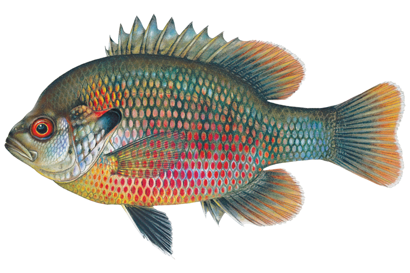
Redspotted Sunfish
Lepomis miniatus
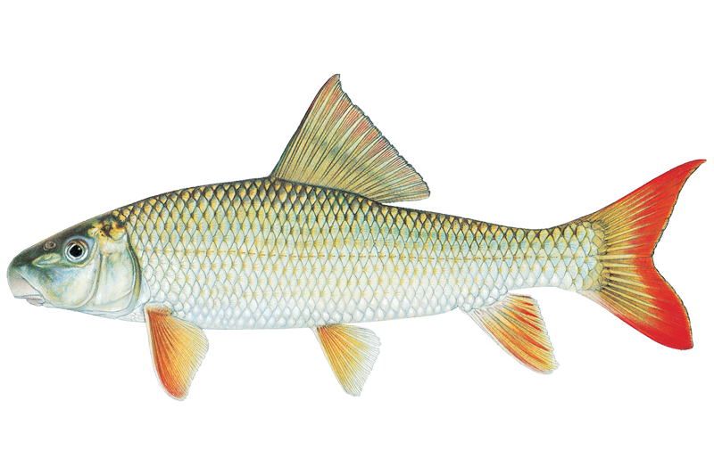
River Redhorse
Moxostoma carinatum

Rock Bass
Ambloplites rupestris
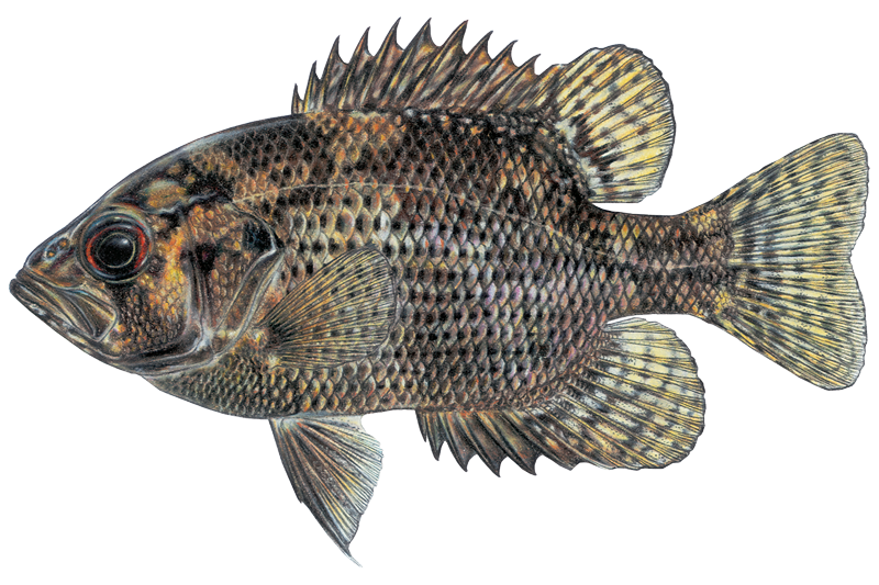
Shadow Bass
Ambloplites ariommus
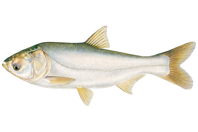
Silver Carp
Hypophthalmichthys molitrix
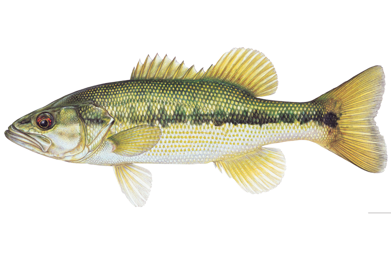
Spotted Bass
Micropterus punctulatus
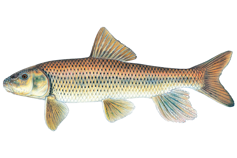
Spotted Sucker
Minytrema melanops
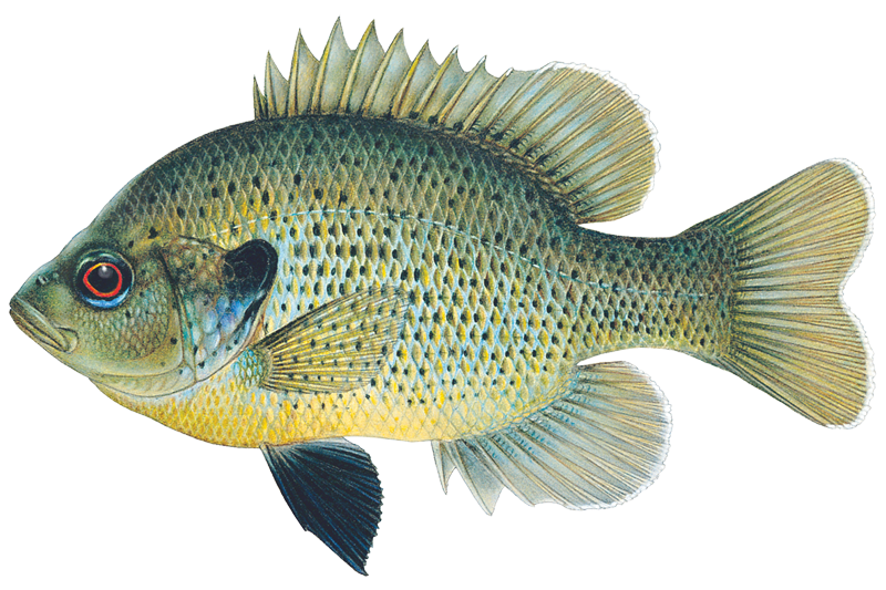
Spotted Sunfish
Lepomis punctatus
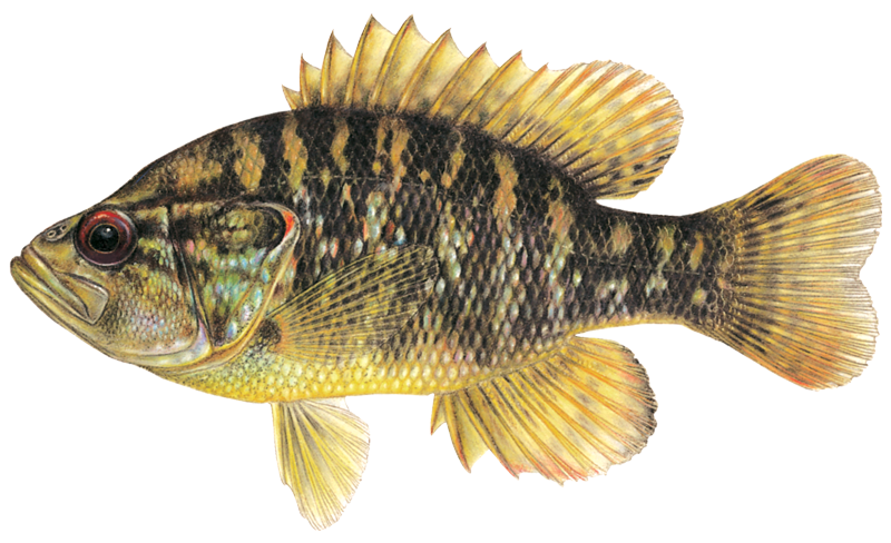
Warmouth Sunfish
Lepomis gulosus
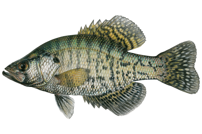
White Crappie
Pomoxis annularis

Yellow Bullhead
Ameiurus natalis
Fishing spots, boat ramps & amenities
Learn how to get on Saline River. Uncover great fishing access points, boat ramps, and all the facilities you need for an unforgettable day on the water. Some locations shown may border or include private property. Always check property boundaries and applicable regulations before visiting. onWater's Public & Private Land layer can help you plan your access with confidence.
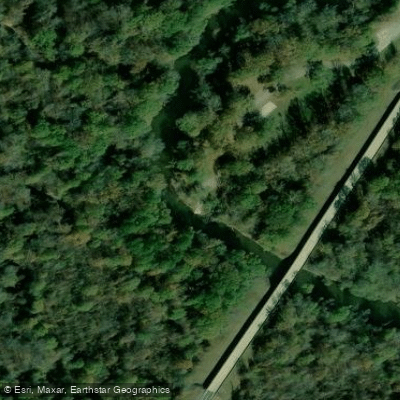
Jenkins Ferry State Park (Highway 46 Bridge) Boat Ramp
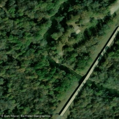
Jenkins Ferry Boat Ramp
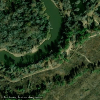
Ozment Bluff Boat Ramp
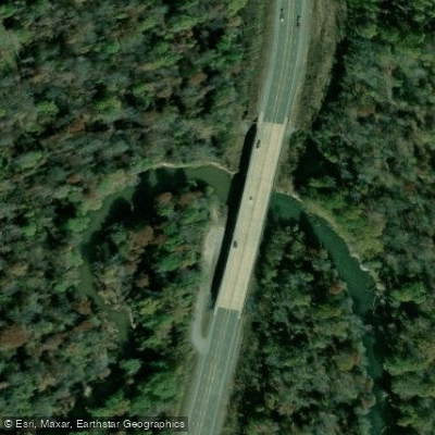
Hwy 167 Boat Ramp
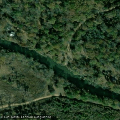
Lee's Ferry Boat Ramp
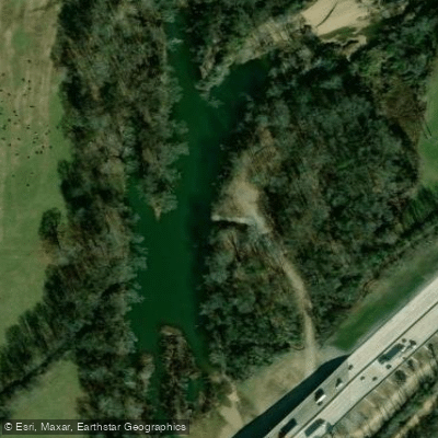
I -30 Cherry Gingles Boat Ramp
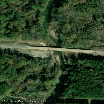
Highway 270 Boat Ramp
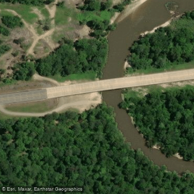
Highway 278 Bridge Boat Ramp
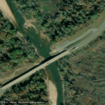
Hwy 15/63 Boat Ramp
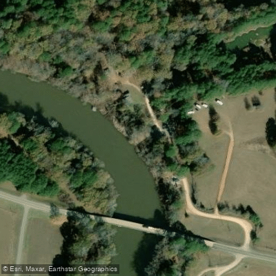
Longview Boat Ramp
Know where you can legally fish on Saline River
See public and private land boundaries along the water, turn on private parcels with owner details to know where permission is required, and find land-trust parcels that offer permitted fishing access.
Arkansas licenses and regulations

Arkansas Boating Regulations
When using any type of watercraft to access a body of water, it is important to follow all federal, state, and local rules and regulations. These rules and regulations include boat permitting and licensing, invasive species inspections and stamps, life jacket and PFD rules, motor size and horsepower restrictions, noise limitations, restrictions on personal watercraft, and many more. Visit the web link below for the most current rules and regulations for this body of water.

Arkansas Fishing License
If you are 16 or older, you must carry a valid fishing license to take or attempt to take aquatic wildlife in Arkansas, unless you are fishing in a licensed “put-and-take” pay lake. A trout permit is required to fish for trout in certain waters (tailwaters below Beaver Lake, Bull Shoals Lake, Norfork Lake, Greers Ferry Lake, Lake Greeson or east of Highway 59 on Spavinaw Creek) or to keep trout from any Arkansas waters.

Arkansas Fishing Regulations
This river has a variety of species and regulations, including potential floating and/or watercraft restrictions. Because this river is specially managed for species, seasons, angling methods, and watercraft, it is strongly encouraged you check all federal, state, and local regulations before fishing. Visit any of the links below, inquire locally, or contact a local fly shop to learn current regulations and restrictions.

Arkansas Stream Access Laws
If a waterway can carry a small boat for six months out of the year, it is considered navigable and available for public use. This includes streambed access up to the high water mark. However, access to the waterway through private land is not guaranteed.
Take Saline River with you
The onWater Fish app keeps this water's access points, species and conditions in your pocket, with the tools you use once you're there.
Use the map without signal
Download the map around Saline River to use it offline when coverage drops.
Log your catches here
Keep a private fishing journal for Saline River to find where and when fish are biting for you.
Get the onWater Fish app
Free on iOS and Android
Water and weather conditions (10 day forecast)
See the best times to fish Saline River and check the forecast before you go.
Saline River at Benton, AR
All Flow Stations
Fishing near Saline River
Arkansas River
Bayou Bartholomew
Cane Creek Lake
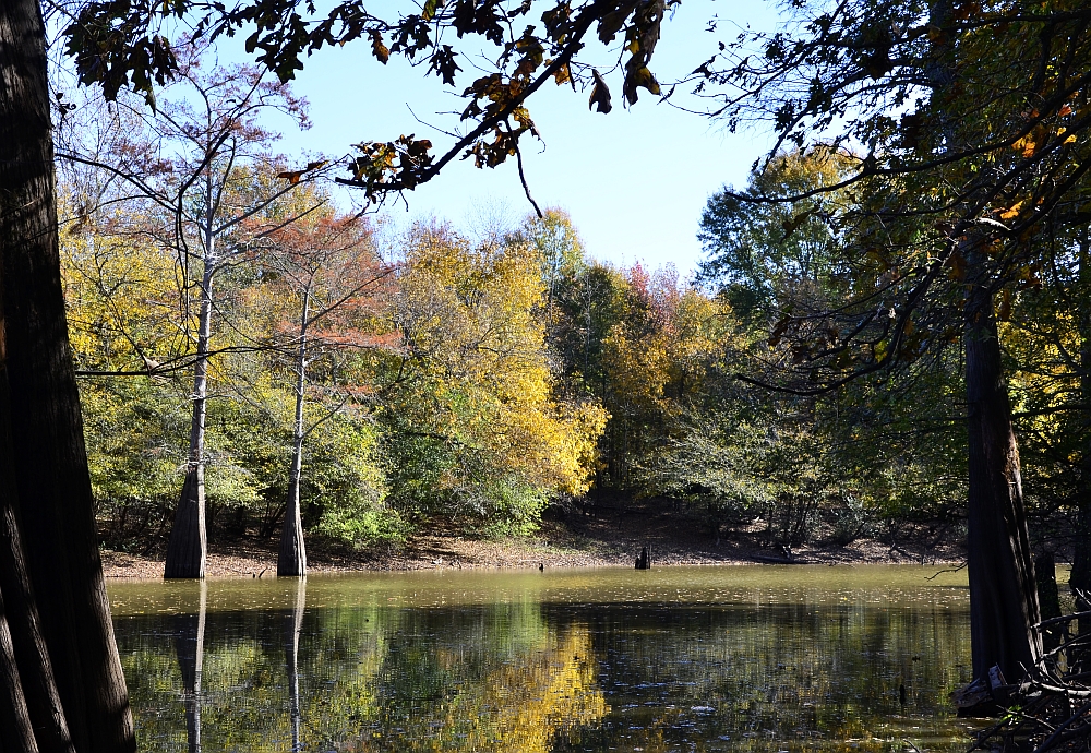
Bayou Meto
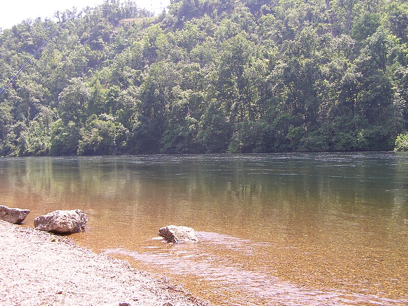
White River
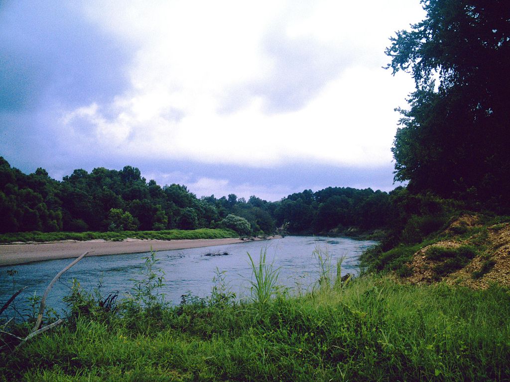
Ouachita River
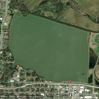
Lake Pine Bluff
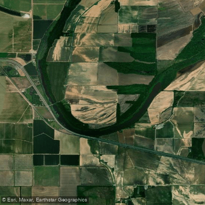
Noble Lake
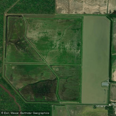
Halowell Reservoir
Explore Arkansas waters
Top fishing waters
Popular Cities
Loading popular cities...
Explore near Saline River
Fish species
Fishing spots
- Jenkins Ferry State Park (Highway 46 Bridge) Boat Ramp
- Jenkins Ferry Boat Ramp
- Ozment Bluff Boat Ramp
- Hwy 167 Boat Ramp
- Lee's Ferry Boat Ramp
- I -30 Cherry Gingles Boat Ramp
- Highway 270 Boat Ramp
- Highway 278 Bridge Boat Ramp
- Hwy 15/63 Boat Ramp
- Longview Boat Ramp
- Hwy 278 Boat Ramp
- Fitzhugh Boat Ramp
- All 223 spots
Nearby waters
More in Arkansas

Smarter Fishing Starts in the App.
onWater Fish gives you everything you need to plan smarter, fish better, and own every trip from first cast to last.