Umtata Dam
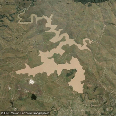
Umtata Dam
- Boat Ramps
- 0
- Access Points
- 0
- Species
- 3
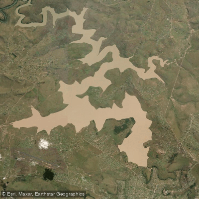
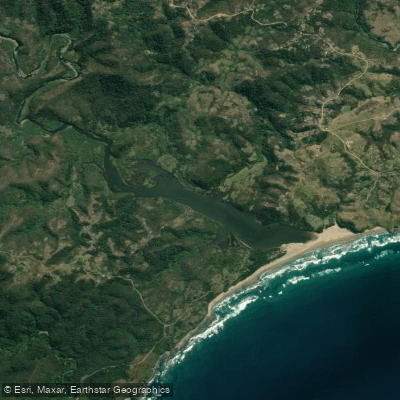
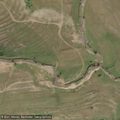
Umtata Dam, also known as Mthatha Dam, sits within the Mthatha River catchment system in the Eastern Cape of South Africa. The dam serves as a significant water body in the region, surrounded by a landscape dominated by livestock farming — cattle and sheep graze the surrounding hills — along with dryland crops such as maize and vegetable gardens near local homesteads. The immediate vicinity of the dam is largely uncultivated, giving the shoreline a relatively open, pastoral character. Perennial springs in the nearby Ncise area contribute to the local hydrology, and the riparian zone reflects a mix of remaining indigenous trees and encroaching alien vegetation typical of heavily utilized catchments in the Eastern Cape.
Species & education
Learn what type of fish are at Umtata Dam and what's needed to catch them.

Find which waters have the species you want to catch

Banded Tilapia
Tilapia sparrmanii

Common Carp
Cyprinus carpio

Smallmouth Bass
Micropterus dolomieu
Fishing spots, boat ramps & amenities
Learn how to get on Umtata Dam. Uncover great fishing access points, boat ramps, and all the facilities you need for an unforgettable day on the water. Some locations shown may border or include private property. Always check property boundaries and applicable regulations before visiting. onWater's Public & Private Land layer can help you plan your access with confidence.
Rocky points, submerged structure, and areas near the dam wall are typically productive holding areas for both bass and trout. The open shoreline and pastoral surroundings allow anglers to cover a good deal of bank, and any visible underwater structure or depth changes are worth targeting, particularly for smallmouth bass.
Know where you can legally fish on Umtata Dam
See public and private land boundaries along the water, turn on private parcels with owner details to know where permission is required, and find land-trust parcels that offer permitted fishing access.
Eastern Cape licenses and regulations

Eastern Cape Boating Regulations
National Small Vessel Safety Regulations administered by the South African Maritime Safety Authority (SAMSA), covering recreational boats on inland and coastal waters. National page reused for all provinces, as there is no separate provincial boating-safety authority.

Eastern Cape Fishing License
Official site of the Eastern Cape Department of Economic Development, Environmental Affairs and Tourism (DEDEAT), the provincial authority that issues freshwater angling licences. Note: no dedicated online licence page exists; the provincial licence is obtained over-the-counter at DEDEAT/nature-reserve offices and some Post Offices.

Eastern Cape Fishing Regulations
Freshwater fishing in the Eastern Cape is governed by provincial Nature Conservation legislation administered by DEDEAT (the official authority site). No standalone provincial freshwater-regulations web page exists, so the authority site is used.

Eastern Cape Stream Access Laws
South Africa's National Water Act (No. 36 of 1998) is the national law governing rights to and use of rivers and watercourses - the framework relevant to stream/water access. National page reused as no distinct provincial stream-access page exists.
Take Umtata Dam with you
The onWater Fish app keeps this water's access points, species and conditions in your pocket, with the tools you use once you're there.
Use the map without signal
Download the map around Umtata Dam to use it offline when coverage drops.
Log your catches here
Keep a private fishing journal for Umtata Dam to find where and when fish are biting for you.
HD depth charts from Garmin
Find drop offs, ledges, channels, points and shallow flats with Garmin depth charts in the app.
Get the onWater Fish app
Free on iOS and Android
Water and weather conditions (10 day forecast)
See the best times to fish Umtata Dam and check the forecast before you go.
No forecast data available.
Fishing near Umtata Dam
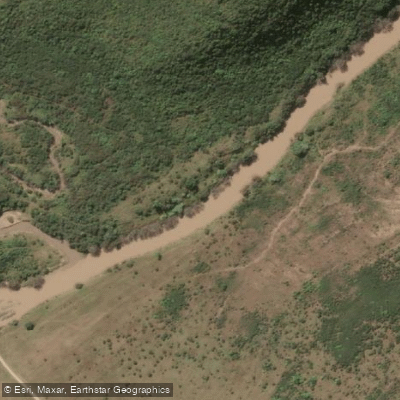
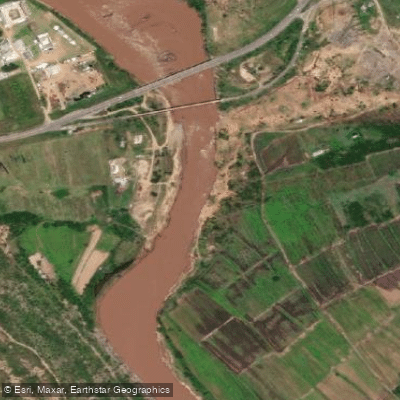
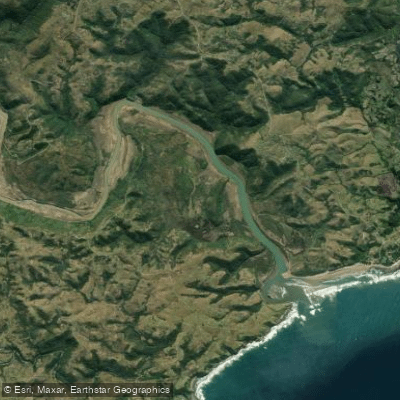
Explore Eastern Cape waters
Top fishing waters
No waters available right now.
Popular Cities
Loading popular cities...
Explore near Umtata Dam
Fish species
More in Eastern Cape

Smarter Fishing Starts in the App.
onWater Fish gives you everything you need to plan smarter, fish better, and own every trip from first cast to last.