Mtata
- Saltwater
- Estuary
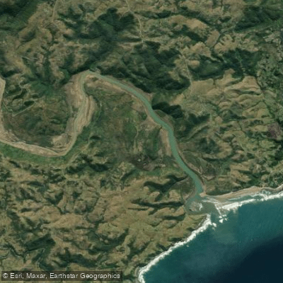
Mtata
- Saltwater
- Estuary
- Sq. miles
- 2.1
- Boat Ramps
- 0
- Access Points
- 0
- Species
- 13
The Mtata River estuary is a significant tidal system flowing through the O.R. Tambo District Municipality in the Eastern Cape of South Africa. It is a perennial river that passes through the city of Mthatha (formerly Umtata) before reaching the Indian Ocean. The estuary is recognized as being in good to excellent ecological condition, providing a vital habitat for marine and estuarine species. As a working estuary near an urban center, it offers accessible inshore and estuarine fishing opportunities along the Wild Coast.
Species & education
Learn what type of fish are at Mtata and what's needed to catch them.

Find which waters have the species you want to catch

Black Musselcracker
Cymatoceps nasutus

Brindle Bass
Epinephelus lanceolatus

Cape Stumpnose
Rhabdosargus holubi

Dageraad
Chrysoblephus cristiceps

Dusky Kob
Argyrosomus japonicus

Flathead Mullet
Mugil cephalus

Leervis
Lichia amia

Santer
Cheimerius nufar

Shad
Pomatomus saltatrix

Spotted Grunter
Pomadasys commersonnii

Springer
Elops machnata

Stonebream
Neoscorpis lithophilus

Strepie
Sarpa salpa
Fishing spots, boat ramps & amenities
Learn how to get on Mtata. Uncover great fishing access points, boat ramps, and all the facilities you need for an unforgettable day on the water. Some locations shown may border or include private property. Always check property boundaries and applicable regulations before visiting. onWater's Public & Private Land layer can help you plan your access with confidence.
Productive fishing areas are found along the tidal channels and near structural features. The lower estuary near the mouth is a prime location where predatory fish congregate to ambush prey carried by currents. Areas with natural structure, such as deeper pools and along undercut banks in the middle and lower sections, also hold fish. The confluence zone where the river meets the sea is a consistent hotspot.
Know where you can legally fish on Mtata
See public and private land boundaries along the water, turn on private parcels with owner details to know where permission is required, and find land-trust parcels that offer permitted fishing access.
Eastern Cape licenses and regulations

Eastern Cape Boating Regulations
National Small Vessel Safety Regulations administered by the South African Maritime Safety Authority (SAMSA), covering recreational boats on inland and coastal waters. National page reused for all provinces, as there is no separate provincial boating-safety authority.

Eastern Cape Fishing License
Official site of the Eastern Cape Department of Economic Development, Environmental Affairs and Tourism (DEDEAT), the provincial authority that issues freshwater angling licences. Note: no dedicated online licence page exists; the provincial licence is obtained over-the-counter at DEDEAT/nature-reserve offices and some Post Offices.

Eastern Cape Fishing Regulations
Freshwater fishing in the Eastern Cape is governed by provincial Nature Conservation legislation administered by DEDEAT (the official authority site). No standalone provincial freshwater-regulations web page exists, so the authority site is used.

Eastern Cape Stream Access Laws
South Africa's National Water Act (No. 36 of 1998) is the national law governing rights to and use of rivers and watercourses - the framework relevant to stream/water access. National page reused as no distinct provincial stream-access page exists.
Take Mtata with you
The onWater Fish app keeps this water's access points, species and conditions in your pocket, with the tools you use once you're there.
Use the map without signal
Download the map around Mtata to use it offline when coverage drops.
Log your catches here
Keep a private fishing journal for Mtata to find where and when fish are biting for you.
Get the onWater Fish app
Free on iOS and Android
Tides, wind & water conditions (10 day forecast)
On open water, wind and tide matter as much as the weather. See the best times to fish Mtata and check the marine forecast before you launch.
Loading tide predictions…
Fishing near Mtata
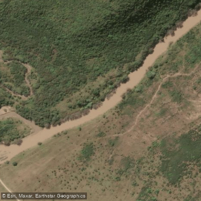
Mthatha
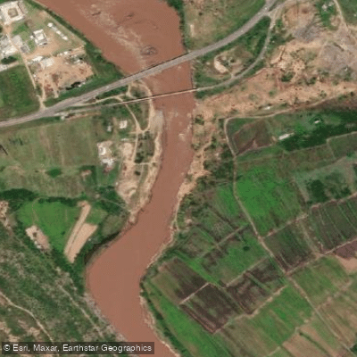
Mzimvubu
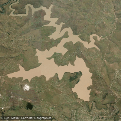
Umtata
Cicira
Mngazana
Umtata Dam
Zimbane
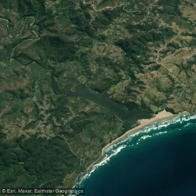
Mnenu
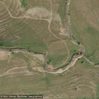
Cumngce
Explore Eastern Cape waters
Top fishing waters
No waters available right now.
Popular Cities
Loading popular cities...
Explore near Mtata

Smarter Fishing Starts in the App.
onWater Fish gives you everything you need to plan smarter, fish better, and own every trip from first cast to last.