Fishing in Middle Delaware National Scenic River
- National Wild & Scenic River
- Lakes
- 0
- Rivers
- 22
- Access
- 4
- Boat Ramps
- 3
- Shops
- 0
- Species
- 15
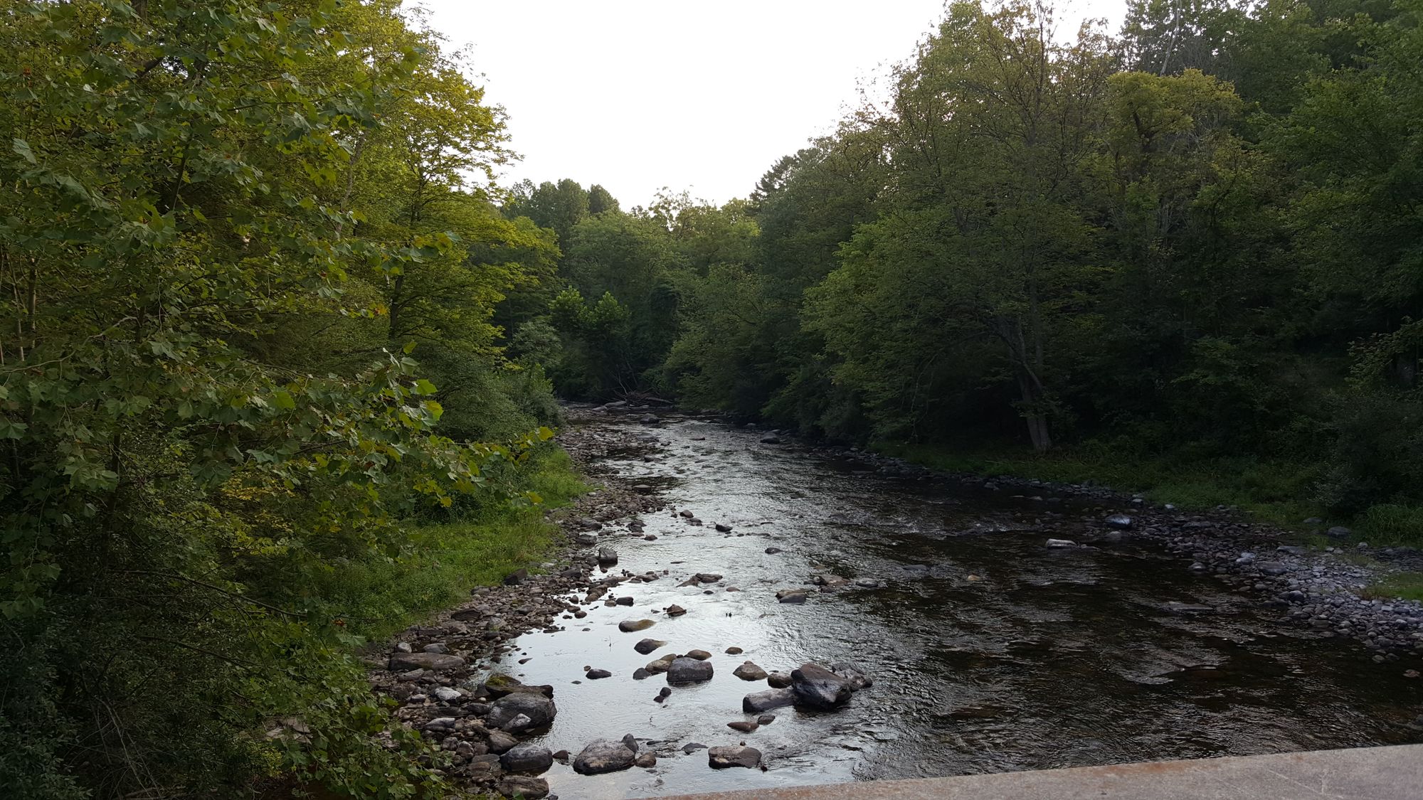
The Middle Delaware runs roughly 40 miles through the Delaware Water Gap National Recreation Area, forming the border between New Jersey and Pennsylvania as it cuts through the Kittatinny Ridge.
This is a free-flowing, largely undeveloped river corridor — no dams, minimal development on the banks — managed jointly by the two states and the National Park Service.
The fishing here is river fishing in the traditional sense: wading rocky shallows, working eddies below riffles, reading current seams from a canoe or kayak. Smallmouth bass are the backbone of the fishery.
The river's mix of riffles, deep pools, and rocky structure suits them well, and they're present throughout the park's length. Walleye and muskellunge also run this stretch, with walleye more reliably targeted in the deeper, slower pools.
Channel catfish show up in the same water. American shad move through on their spring spawning run, drawing anglers to the current seams near access points like Milford Beach and the Dingmans and Bushkill boat launches. American eel are present year-round.
Striped bass reach this stretch seasonally as well. Access points are spaced along both banks. On the Pennsylvania side, Old Mine Road provides pull-outs and trail access to the river. Poxono has a boat launch and bank access.
Smithfield Beach, Bushkill, and Dingmans are additional launch and access points that anchor different sections of the river.
The park is divided into five camping zones running from the New York border south to Kittatinny Point — the same zones that structure float trips and overnight river travel. No special NPS fishing permit is required.
You'll need a valid license from whichever state you're fishing — Pennsylvania or New Jersey — and you should carry a physical copy. Because the river is the state line, check which state's regulations apply to where you're standing or anchored.
Fish consumption advisories are in effect for several species including smallmouth bass, walleye, American eel, and channel catfish; the NPS posts current advisory tables for both states, and they're worth reading before you keep anything.
The river doesn't ask much of you in terms of gear or access fees. What it asks is that you pay attention to two sets of regulations at once and leave the banks the way you found them.
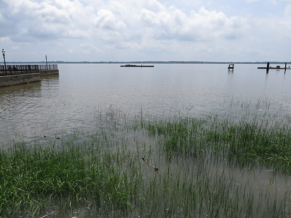
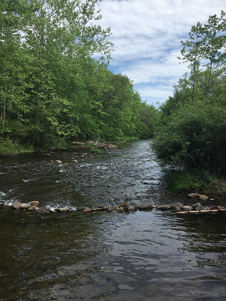
Top waters to fish near Middle Delaware National Scenic River
Species & education
Learn what type of fish are in Middle Delaware National Scenic River and what's needed to catch them.

Find which waters have the species you want to catch

Alewife
Alosa pseudoharengus

American Eel
Anguilla rostrata

American Shad
Alosa sapidissima

Atlantic Sturgeon
Acipenser oxyrinchus oxyrinchus

Black Crappie
Pomoxis nigromaculatus

Blueback Herring
Alosa aestivalis
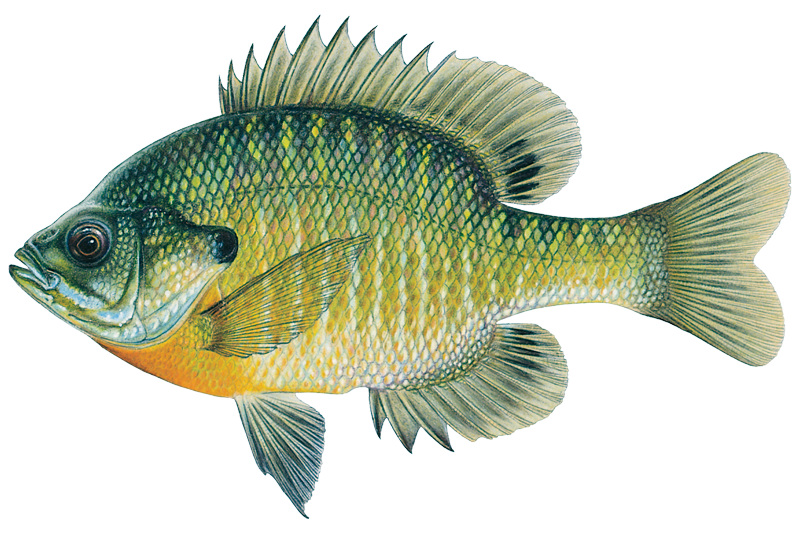
Bluegill
Lepomis macrochirus
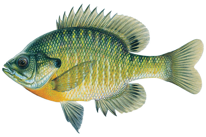
Bluegill Sunfish
Lepomis macrochirus

Brook Trout
Salvelinus fontinalis

Brown Bullhead
Ameiurus nebulosus

Brown Trout
Salmo trutta

Chain Pickerel
Esox niger

Channel Catfish
Ictalurus punctatus

Common Carp
Cyprinus carpio

Fallfish
Semotilus corporalis
Water and weather conditions (10 day forecast)
See the best times to fish Middle Delaware National Scenic River and check the forecast before you go.
No forecast data available.
Fishing guides near Middle Delaware National Scenic River
Book a trip with a local fishing guide through Guidesly.

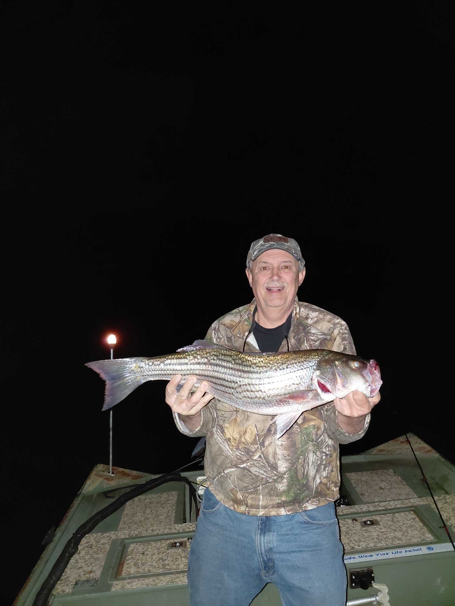
Dwayne Eckhart
Let's Go Fishing Adventure
Night Fishing Charter Forest Inn PA | Guided Trips
Book on Guidesly, opens in new tab
Stuart McKenzie
Captain Stu’s Charters
Fishing charters on the Atlantic and Hudson River
Book on Guidesly, opens in new tab
Dee Bees
Sullivan Private Charters
White Lake NY Guided Freshwater Fishing Charters
Book on Guidesly, opens in new tab
Jonathan Kelley
Jonathan Kelley Fishing
Fish With The Bass Master!
Book on Guidesly, opens in new tab
Fish smarter with real-time insights
Whether you're en route and conditions shift or you're looking for the best spot based on current flows, we enable you to make informed decisions on the fly.




Fishing near Middle Delaware National Scenic River
Loading...
Other parks in Pennsylvania
Gateway towns
Where to base yourself for fishing in Middle Delaware National Scenic River.
Main gateway village with outfitters, river launches, lodging, and direct access to the southern end of the river corridor.
- PortlandPA
Southern takeout point for multi-day paddling trips through the Middle Delaware corridor.
Common put-in town at the northern end of the Middle Delaware section for canoe and kayak trips.
- BushkillPA
Sits near a named boat launch zone mid-corridor, serving paddlers camping along the river's primitive campsites.
Middle Delaware National Scenic River fishing rules
The park's own rules, on top of Pennsylvania licenses and regulations. Limits, fees and closures change, so check the park's page before you go.

State fishing license required
You need a valid New Jersey or Pennsylvania fishing license to fish the Middle Delaware. Check with your state agency for current license requirements and trout permit details.

Fish consumption advisories apply
Health advisories are in place for several species in this stretch of the Delaware River. Check the NPS park page for the current advisory tables before eating your catch.
Explore Middle Delaware National Scenic River
Top fishing waters
Popular Cities
Loading popular cities...

Smarter Fishing Starts in the App.
onWater Fish gives you everything you need to plan smarter, fish better, and own every trip from first cast to last.