Fishing in Delaware Water Gap National Recreation Area
- National Recreation Area
- Open 24 hours
- Lakes
- 17
- Rivers
- 39
- Access
- 25
- Boat Ramps
- 8
- Shops
- 0
- Species
- 15
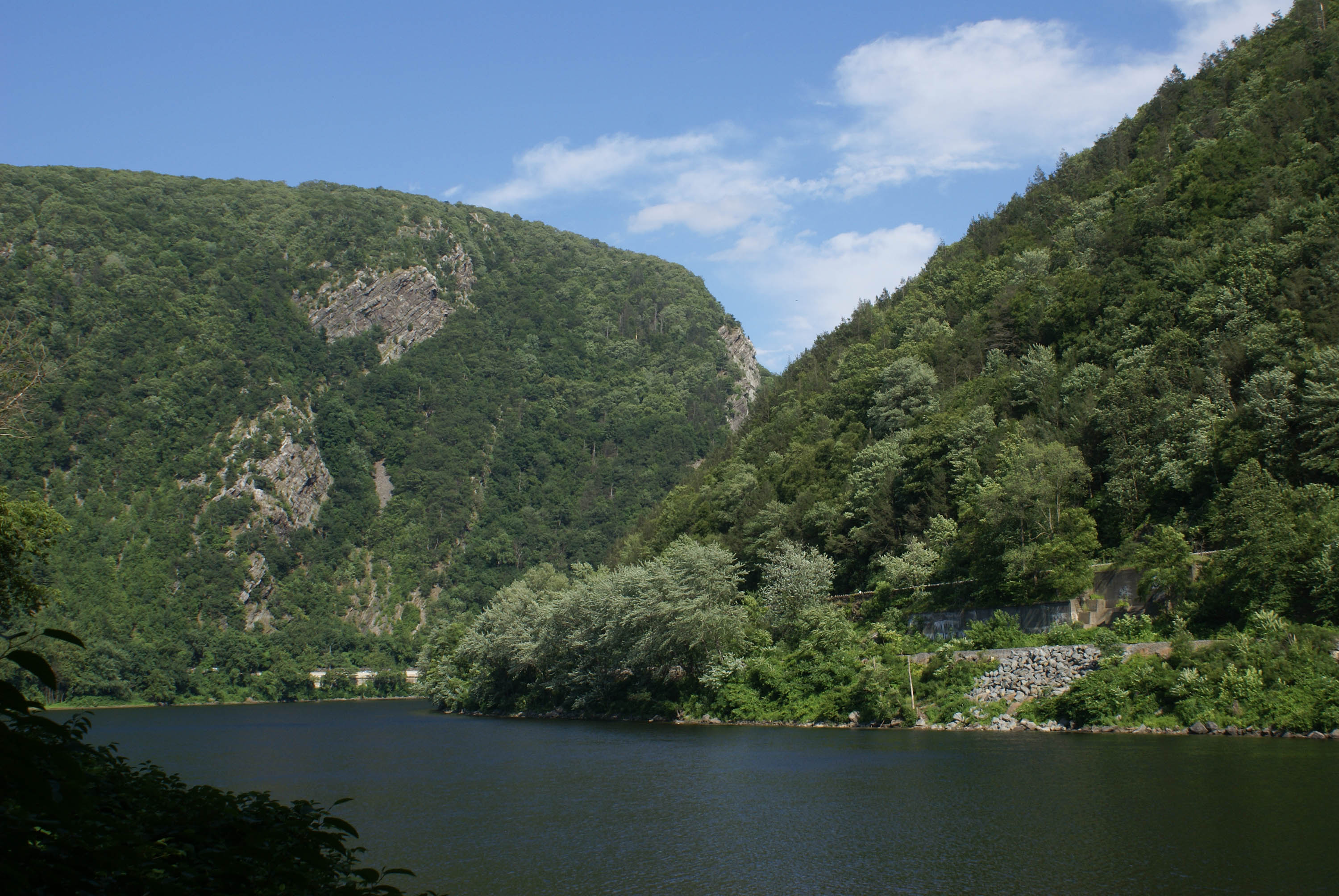
Delaware Water Gap National Recreation Area runs along roughly 40 miles of the Delaware River where it cuts through the Kittatinny Ridge of the Appalachian Mountains, straddling the New Jersey and Pennsylvania state line.
The park's 70,000 acres hold more than the river itself — the surrounding ridges and valleys contain lakes, ponds, and tributary streams that feed into the main stem. The Delaware River is the anchor.
Smallmouth bass are the everyday target, found throughout the river's mix of sluggish pools, riffles, and rocky runs. Walleye and muskellunge are present as well, and striped bass move through as migratory fish.
American eel, channel catfish, and white sucker round out what anglers encounter. Bank access is generally good, though the terrain runs to mud, rock, and brush in places. Boat ramps are spaced along both shores for those launching aluminum boats or canoes.
Hornbecks Creek draws fly anglers working the Pennsylvania tributaries.
Loch Lomond, located south of Dingmans Ferry on Wilson Hill Road, is a stocked trout lake open during trout season with a fishing deck built for wheelchair access — the only such dedicated access point in the park. Dingmans Creek within George W.
Childs Park is closed to fishing, as is a stretch of the creek near Dingmans Falls Visitor Center. Fishing is also prohibited from designated boat launch and retrieval sites and within swimming areas. No NPS permit is required.
A Pennsylvania license covers Pennsylvania waters inside the park; a New Jersey license covers New Jersey waters. Either is valid on the Delaware River itself. State regulations apply throughout.
Fish consumption advisories are in effect for several species on the river — check the NJ DEP and Pennsylvania Fish and Boat Commission for current guidance before keeping anything. The park fishes differently than open water.
The rules are real, the crowds thin out past the access points, and the river has been moving through this gap long enough that it doesn't need any help from hype.
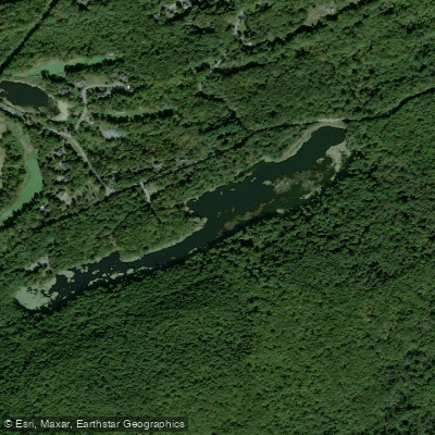
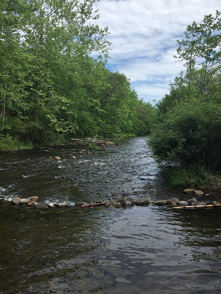
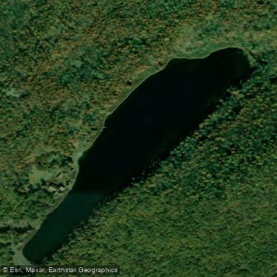
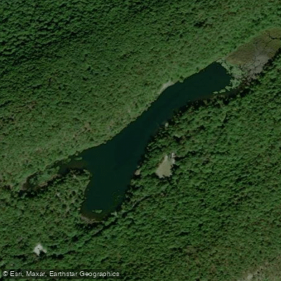
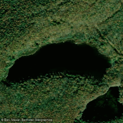
Top waters to fish near Delaware Water Gap National Recreation Area
Species & education
Learn what type of fish are in Delaware Water Gap National Recreation Area and what's needed to catch them.

Find which waters have the species you want to catch

Alewife
Alosa pseudoharengus

American Eel
Anguilla rostrata

American Shad
Alosa sapidissima

Atlantic Sturgeon
Acipenser oxyrinchus oxyrinchus

Black Crappie
Pomoxis nigromaculatus

Blueback Herring
Alosa aestivalis
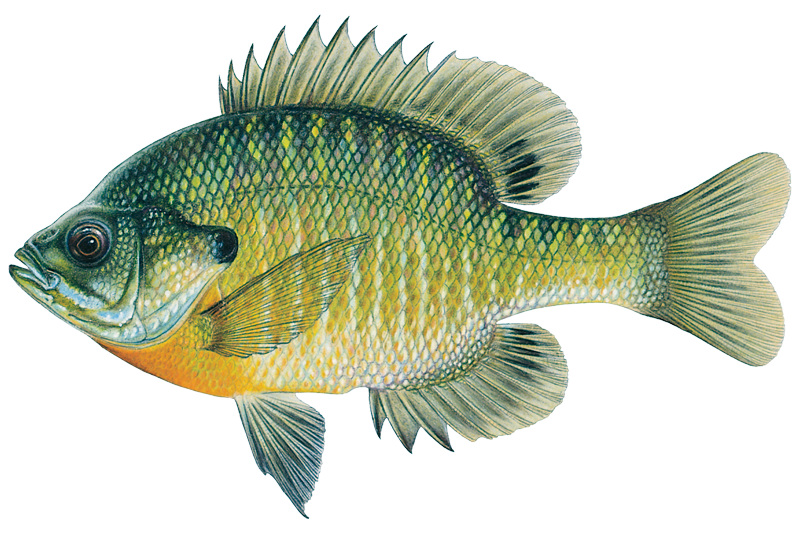
Bluegill
Lepomis macrochirus
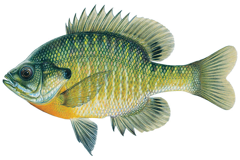
Bluegill Sunfish
Lepomis macrochirus

Brook Trout
Salvelinus fontinalis

Brown Bullhead
Ameiurus nebulosus

Brown Trout

Chain Pickerel
Esox niger

Channel Catfish
Ictalurus punctatus

Common Carp
Cyprinus carpio

Fallfish
Semotilus corporalis
Water and weather conditions (10 day forecast)
See the best times to fish Delaware Water Gap National Recreation Area and check the forecast before you go.
No forecast data available.
Park alerts & road status
Closures and conditions Delaware Water Gap National Recreation Area has posted, from the National Park Service.
Checking the park's alerts…
Hours & fees
When Delaware Water Gap National Recreation Area is open and what it costs to get in, from the National Park Service.
Hours
Open 24 hoursPark roads are open 24-hours a day. Most day-use areas within the park are open sunrise to sunset (such as trailhead parking lots, Millbrook Village, and all picnic areas).
Entrance fees
- Entrance - Private Vehicle$10
- Entrance fee for beaches and boat launches. Fee is good for one vehicle and it's passengers (up to 7 people).
Parking & getting around
Where to leave the car in Delaware Water Gap National Recreation Area. Lots fill early on busy days, so plan where you will park before you head for the water.
Kittatinny Point Main Lot
This parking lot sits along the eastbound lane of interstate route 80 in New Jersey and offers close proximity to the Delaware River, the Appalachian Trail, and beautiful Mount Tammany with its breathtaking views of the river below and Mount Minsi on the opposite shore. There is no grilling allowed at this location, but picnicking is permitted. The nearest area to grill is Turtle Beach located approximately 7 miles north on Old Mine Road. Note: Arrive early as this lot fills by 9:30 am on most weekends
Accessibility: This parking lot has wheelchair access to sidewalks and a ramp to the accessible restroom located midway through the lot. From the accessible picnic area, visitors will have views of the Delaware River and Mount Tammany. The soundscape of this area is overwhelmed by the sounds of Interstate route 80 immediately adjacent to the parking area. The soundscape improves greatly as visitors travel into the park along Old Mine Road. Standard accessible parking spaces are located midway through the parking lot near the restrooms three additional long accessible parking spaces near the visitor center building on the north end of the lot.
Getting around
Delaware Water Gap National Recreation Area is a long, narrow park that sits between two major interstates, I-80 at the south and I-84 at the north. US 209 is the main north/south road through the park on the Pennsylvania side and Old Mine Road is the main north/south road though the park on the New Jersey side.
Directions on nps.govFishing guides near Delaware Water Gap National Recreation Area
Book a trip with a local fishing guide through Guidesly.

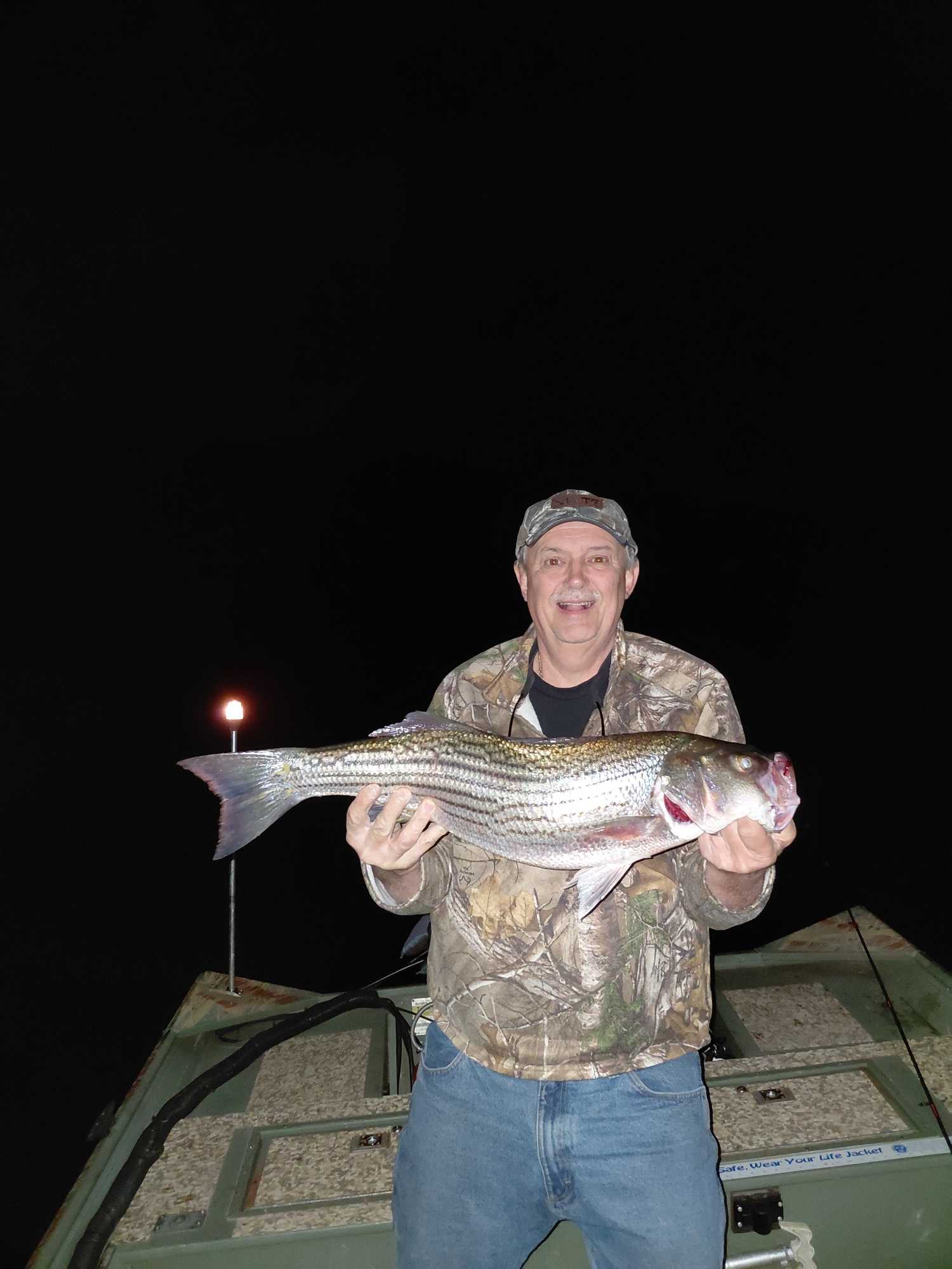
Dwayne Eckhart
Let's Go Fishing Adventure
Night Fishing Charter Forest Inn PA | Guided Trips
Book on Guidesly, opens in new tab
Stuart McKenzie
Captain Stu’s Charters
Fishing charters on the Atlantic and Hudson River
Book on Guidesly, opens in new tab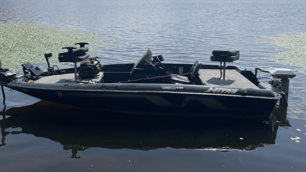
Dee Bees
Sullivan Private Charters
White Lake NY Guided Freshwater Fishing Charters
Book on Guidesly, opens in new tab
Jordan Sypeck
JSypecks Fishing Guide Service
Expert Central NY & PA Bass and Walleye Fishing
Book on Guidesly, opens in new tab
Jonathan Kelley
Jonathan Kelley Fishing
Fish With The Bass Master!
Book on Guidesly, opens in new tab
Fish smarter with real-time insights
Whether you're en route and conditions shift or you're looking for the best spot based on current flows, we enable you to make informed decisions on the fly.




Fishing near Delaware Water Gap National Recreation Area
Loading...
Other parks in New Jersey
Gateway towns
Where to base yourself for fishing in Delaware Water Gap National Recreation Area.
The borough sits at the park's southern PA entrance with inns, outfitters, and river access for hiking and paddling.
Largest nearby town on the PA side with the widest range of lodging, dining, and gear shops serving park visitors.
Adjacent to East Stroudsburg, it offers additional hotels, restaurants, and services for visitors approaching from I-80.
Small community near the Dingmans Falls Visitor Center and river access points along the park's mid-section.
Delaware Water Gap National Recreation Area fishing rules
The park's own rules, on top of New Jersey licenses and regulations. Limits, fees and closures change, so check the park's page before you go.

State fishing license required
You need a valid Pennsylvania or New Jersey fishing license to fish in the park. Either state license covers the Delaware River. No separate NPS permit is required.

Some waters are closed
Fishing is not allowed in Dingmans Creek within George W. Childs Park, near the Dingmans Falls Visitor Center, at designated boat launches, or inside swimming areas.

Bait restrictions apply
Live crayfish, clams, mussels, reptiles, and amphibians may not be used as bait within the park unless they are commercially produced, preserved, and packaged.

Fish consumption advisories in effect
Health advisories limit how often you should eat certain fish caught here, including American Eel, Smallmouth Bass, and others. Check the park's advisory tables for current guidance by species and population group.
Explore Delaware Water Gap National Recreation Area
Top fishing waters
Popular Cities
Loading popular cities...

Smarter Fishing Starts in the App.
onWater Fish gives you everything you need to plan smarter, fish better, and own every trip from first cast to last.