Raleigh Bay
- Saltwater
- Bay
Raleigh Bay
- Saltwater
- Bay
- Sq. miles
- 488
- Boat Ramps
- 0
- Access Points
- 0
- Species
- 59
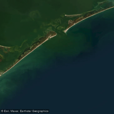
Raleigh Bay is a significant stretch of the Atlantic Ocean off the northeastern coast of North Carolina, defined by Cape Lookout to the south and Cape Hatteras to the north, spanning approximately 70 miles of coastline. This area is renowned for its deep, nutrient-rich waters and complex underwater topography, where the Gulf Stream makes its closest approach to the U.S. mainland. The bay serves as a major conduit for tidal exchange between the Atlantic and the vast inland sounds, creating a dynamic marine environment that supports a diverse and robust fishery. It is a premier destination for anglers targeting powerful pelagic species and substantial inshore gamefish, with a reputation for producing trophy-sized catches, particularly in the autumn months.
Species & education
Learn what type of fish are at Raleigh Bay and what's needed to catch them.

Find which waters have the species you want to catch

African Pompano
Alectis ciliaris

Albacore
Thunnus alalunga

Almaco Jack
Seriola rivoliana

Atlantic Bonito
Sarda sarda

Atlantic Croaker
Micropogonias undulatus

Atlantic Mackerel
Scomber scombrus

Atlantic Sharpnose Shark
Rhizoprionodon terraenovae

Atlantic Spadefish
Chaetodipterus faber

Black Drum
Pogonias cromis

Black Grouper
Mycteroperca bonaci

Black Sea Bass
Centropristis striata

Blacktip Shark
Carcharhinus limbatus

Blue Marlin
Makaira nigricans

Blue Runner
Caranx crysos

Bluefin Tuna
Thunnus thynnus

Bluefish
Pomatomus saltatrix

Bonnethead
Sphyrna tiburo

Bull Shark
Carcharhinus leucas

Cobia
Rachycentron canadum

Common Thresher
Alopias vulpinus

Crevalle Jack
Caranx hippos

Cubera Snapper
Lutjanus cyanopterus

Florida Pompano
Trachinotus carolinus

Gag Grouper
Mycteroperca microlepis

Gray Triggerfish
Balistes capriscus

Great Barracuda
Sphyraena barracuda

Greater Amberjack
Seriola dumerili

Gulf Flounder
Paralichthys albigutta

King Mackerel
Scomberomorus cavalla

Ladyfish
Elops saurus

Lane Snapper
Lutjanus synagris

Little Tunny
Euthynnus alletteratus

Lookdown
Selene vomer

Mahi-Mahi
Coryphaena hippurus

Mangrove Snapper
Lutjanus griseus

Northern Kingfish
Menticirrhus saxatilis

Northern Puffer
Sphoeroides maculatus

Permit
Trachinotus falcatus

Pigfish
Orthopristis chrysoptera

Pinfish
Lagodon rhomboides
Fishing spots, boat ramps & amenities
Learn how to get on Raleigh Bay. Uncover great fishing access points, boat ramps, and all the facilities you need for an unforgettable day on the water. Some locations shown may border or include private property. Always check property boundaries and applicable regulations before visiting. onWater's Public & Private Land layer can help you plan your access with confidence.
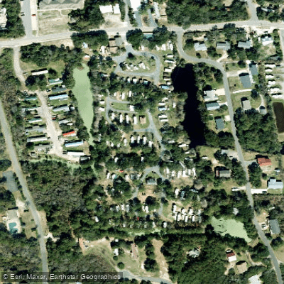
Know where you can legally fish on Raleigh Bay
See public and private land boundaries along the water, turn on private parcels with owner details to know where permission is required, and find land-trust parcels that offer permitted fishing access.
North Carolina licenses and regulations

North Carolina Boating Regulations
When using any type of watercraft to access a body of water, it is important to follow all federal, state, and local rules and regulations. These rules and regulations include boat permitting and licensing, invasive species inspections and stamps, life jacket and PFD rules, motor size and horsepower restrictions, noise limitations, restrictions on personal watercraft, and many more. Visit the web link below for the most current rules and regulations for this body of water.

North Carolina Coastal & Inland Waters
North Carolina divides its waters into three designations: coastal waters, inland waters, and joint waters. A Coastal Recreational Fishing License covers coastal and joint waters, while a Wildlife Resources Commission inland fishing license covers inland and joint waters. Either license satisfies the requirement in joint waters, and the Division of Marine Fisheries provides an interactive map to help you identify which designation applies to where you plan to fish.

North Carolina Federal Waters & Offshore Rules
Federal waters begin where state waters end and extend to the 200-mile limit, where NOAA Fisheries and the South Atlantic Fishery Management Council set the rules. No additional federal permit is required for general recreational fishing in federal waters, but vessels targeting or retaining Atlantic highly migratory species such as tuna, billfish, sharks, or swordfish must carry a federal Atlantic HMS vessel permit issued by NOAA Fisheries. Anglers remain responsible for following both state and federal regulations on every trip.

North Carolina Saltwater Fishing License
Anyone age 16 or older must have a Coastal Recreational Fishing License to recreationally take finfish in North Carolina coastal waters. The Division of Marine Fisheries administers the license, which is available on a 10-day, annual, or lifetime basis. Passengers on for-hire trips and anglers fishing joint waters with a Wildlife Resources Commission inland fishing license are also covered.

North Carolina Saltwater Size & Bag Limits
Size and bag limits apply per species in North Carolina coastal and joint waters and can change throughout the year. The Division of Marine Fisheries maintains the current table, which covers species including red drum, flounder, spotted seatrout, king mackerel, and cobia. Check the official limits page before every trip since rules are updated by proclamation.

North Carolina Shellfish Closures & Advisories
The Division of Marine Fisheries classifies coastal waters for shellfish harvesting and issues temporary closures when rainfall, stormwater runoff, or other contamination makes harvesting unsafe. Closures apply to oysters, clams, and other molluscan shellfish and can change quickly, so you should check current status before harvesting. The Division maintains a Shellfish Sanitation Temporary Closure Public Viewer showing both permanent and temporary closed areas along the coast.
Take Raleigh Bay with you
The onWater Fish app keeps this water's access points, species and conditions in your pocket, with the tools you use once you're there.
Use the map without signal
Download the map around Raleigh Bay to use it offline when coverage drops.
Log your catches here
Keep a private fishing journal for Raleigh Bay to find where and when fish are biting for you.
Get the onWater Fish app
Free on iOS and Android
Tides, wind & water conditions (10 day forecast)
On open water, wind and tide matter as much as the weather. See the best times to fish Raleigh Bay and check the marine forecast before you launch.
Loading tide predictions…
Fishing near Raleigh Bay
Neuse River
Lake Mattamuskeet
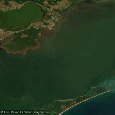
Pamlico Sound
Pamlico River
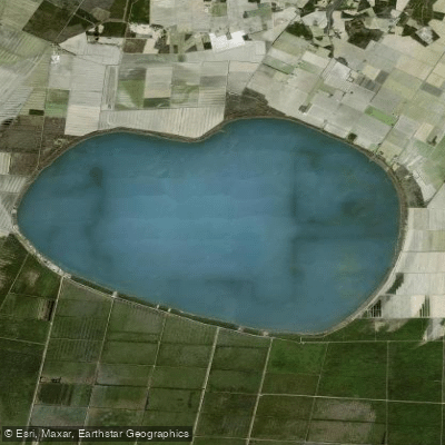
Phelps Lake
South Creek
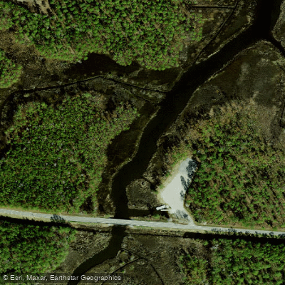
Smith Creek
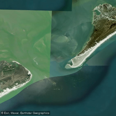
Ocracoke Inlet
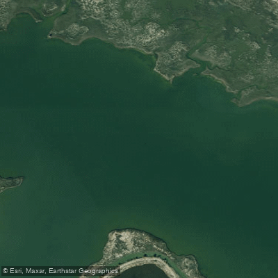
Oyster Creek
Explore North Carolina waters
Top fishing waters
Popular Cities
Loading popular cities...
Explore near Raleigh Bay
Fish species
Fishing spots
Nearby waters
More in North Carolina

Smarter Fishing Starts in the App.
onWater Fish gives you everything you need to plan smarter, fish better, and own every trip from first cast to last.