Cape Lookout Shoals
- Saltwater
- Beach
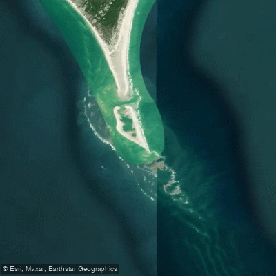
Cape Lookout Shoals
- Saltwater
- Beach
- Sq. miles
- 2.5
- Boat Ramps
- 0
- Access Points
- 0
- Species
- 18
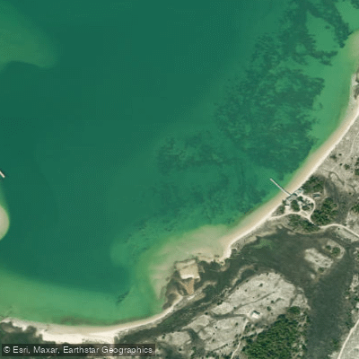
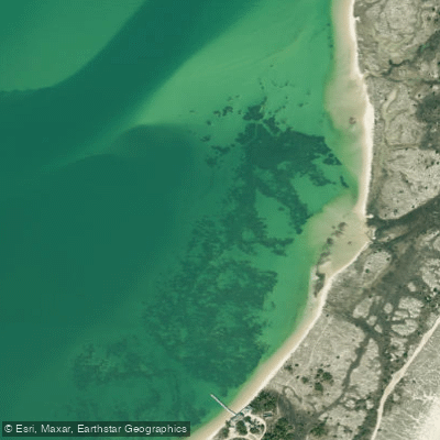
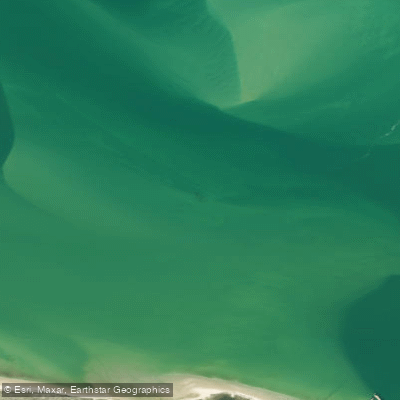
Cape Lookout Shoals is a prominent and dynamic ocean fishing location off the coast of North Carolina, extending approximately 10 to 19 miles south from Beaufort Inlet into the Atlantic Ocean. This massive shoal system separates Onslow Bay to the west from Raleigh Bay, locally known as the "East Side," to the east. The area is renowned for its prolific predator fish populations, particularly large "old drum," which are drawn by immense schools of forage fish. Fishing here is considered challenging and rewarding, heavily influenced by ocean conditions, with the East Side noted for producing the most consistent action.
Species & education
Learn what type of fish are at Cape Lookout Shoals and what's needed to catch them.

Find which waters have the species you want to catch

Atlantic Bonito
Sarda sarda

Bluefin Tuna
Thunnus thynnus

Bluefish
Pomatomus saltatrix

Bonnethead
Sphyrna tiburo

Cobia
Rachycentron canadum

Crevalle Jack
Caranx hippos

Great Barracuda
Sphyraena barracuda

King Mackerel
Scomberomorus cavalla

Little Tunny
Euthynnus alletteratus

Mahi-Mahi
Coryphaena hippurus

Pigfish
Orthopristis chrysoptera

Pinfish
Lagodon rhomboides

Redfish
Sciaenops ocellatus

Southern Kingfish
Menticirrhus americanus

Spanish Mackerel
Scomberomorus maculatus

Spot
Leiostomus xanthurus

Spotted Seatrout
Cynoscion nebulosus

Summer Flounder
Paralichthys dentatus
Fishing spots, boat ramps & amenities
Learn how to get on Cape Lookout Shoals. Uncover great fishing access points, boat ramps, and all the facilities you need for an unforgettable day on the water. Some locations shown may border or include private property. Always check property boundaries and applicable regulations before visiting. onWater's Public & Private Land layer can help you plan your access with confidence.
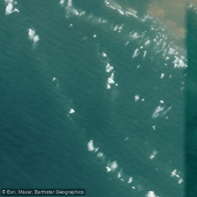
Wreck
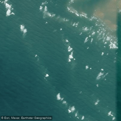
Wreck
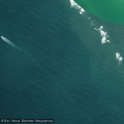
Wreck
Wreck
Wreck
Wreck
Wreck

Wreck

Wreck
Know where you can legally fish on Cape Lookout Shoals
See public and private land boundaries along the water, turn on private parcels with owner details to know where permission is required, and find land-trust parcels that offer permitted fishing access.
North Carolina licenses and regulations

North Carolina Boating Regulations
When using any type of watercraft to access a body of water, it is important to follow all federal, state, and local rules and regulations. These rules and regulations include boat permitting and licensing, invasive species inspections and stamps, life jacket and PFD rules, motor size and horsepower restrictions, noise limitations, restrictions on personal watercraft, and many more. Visit the web link below for the most current rules and regulations for this body of water.

North Carolina Coastal & Inland Waters
North Carolina divides its waters into three designations: coastal waters, inland waters, and joint waters. A Coastal Recreational Fishing License covers coastal and joint waters, while a Wildlife Resources Commission inland fishing license covers inland and joint waters. Either license satisfies the requirement in joint waters, and the Division of Marine Fisheries provides an interactive map to help you identify which designation applies to where you plan to fish.

North Carolina Federal Waters & Offshore Rules
Federal waters begin where state waters end and extend to the 200-mile limit, where NOAA Fisheries and the South Atlantic Fishery Management Council set the rules. No additional federal permit is required for general recreational fishing in federal waters, but vessels targeting or retaining Atlantic highly migratory species such as tuna, billfish, sharks, or swordfish must carry a federal Atlantic HMS vessel permit issued by NOAA Fisheries. Anglers remain responsible for following both state and federal regulations on every trip.

North Carolina Saltwater Fishing License
Anyone age 16 or older must have a Coastal Recreational Fishing License to recreationally take finfish in North Carolina coastal waters. The Division of Marine Fisheries administers the license, which is available on a 10-day, annual, or lifetime basis. Passengers on for-hire trips and anglers fishing joint waters with a Wildlife Resources Commission inland fishing license are also covered.

North Carolina Saltwater Size & Bag Limits
Size and bag limits apply per species in North Carolina coastal and joint waters and can change throughout the year. The Division of Marine Fisheries maintains the current table, which covers species including red drum, flounder, spotted seatrout, king mackerel, and cobia. Check the official limits page before every trip since rules are updated by proclamation.

North Carolina Shellfish Closures & Advisories
The Division of Marine Fisheries classifies coastal waters for shellfish harvesting and issues temporary closures when rainfall, stormwater runoff, or other contamination makes harvesting unsafe. Closures apply to oysters, clams, and other molluscan shellfish and can change quickly, so you should check current status before harvesting. The Division maintains a Shellfish Sanitation Temporary Closure Public Viewer showing both permanent and temporary closed areas along the coast.
Take Cape Lookout Shoals with you
The onWater Fish app keeps this water's access points, species and conditions in your pocket, with the tools you use once you're there.
Use the map without signal
Download the map around Cape Lookout Shoals to use it offline when coverage drops.
Log your catches here
Keep a private fishing journal for Cape Lookout Shoals to find where and when fish are biting for you.
Get the onWater Fish app
Free on iOS and Android
Tides, wind & water conditions (10 day forecast)
On open water, wind and tide matter as much as the weather. See the best times to fish Cape Lookout Shoals and check the marine forecast before you launch.
Loading tide predictions…
Fishing near Cape Lookout Shoals
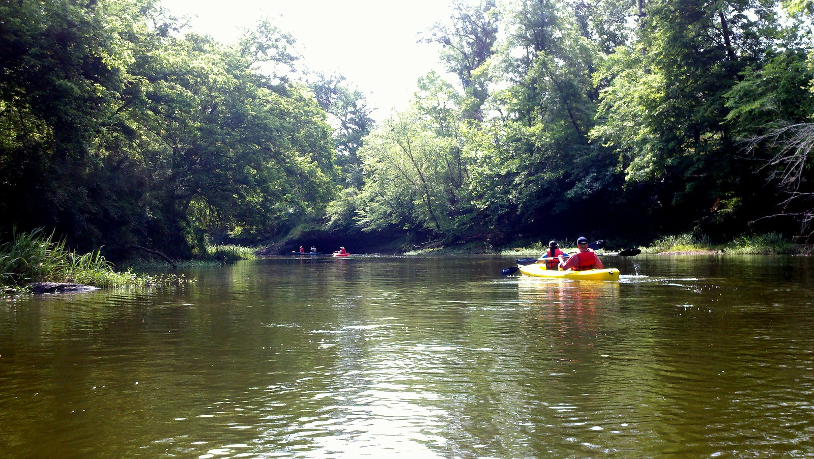
Neuse River
Oyster Creek
Core Sound
White Oak River
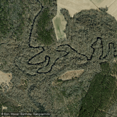
Trent River
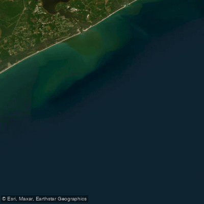
Onslow Bay
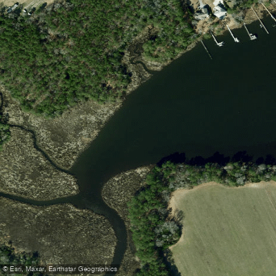
Mitchell Creek
Pamlico River
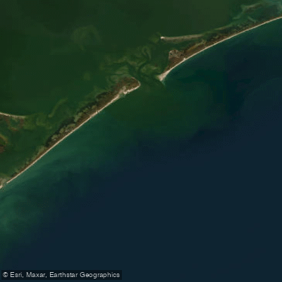
Raleigh Bay
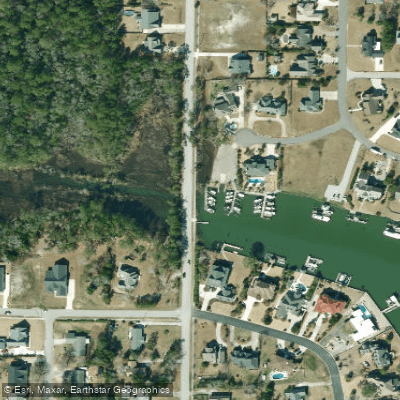
Spooner Creek
Explore North Carolina waters
Top fishing waters
Popular Cities
Loading popular cities...
Explore near Cape Lookout Shoals
Fish species
Nearby waters
More in North Carolina

Smarter Fishing Starts in the App.
onWater Fish gives you everything you need to plan smarter, fish better, and own every trip from first cast to last.