Fishing in Kahurangi National Park
- National Park
- Lakes
- 44
- Rivers
- 69
- Access
- 0
- Boat Ramps
- 0
- Shops
- 0
- Species
- 11
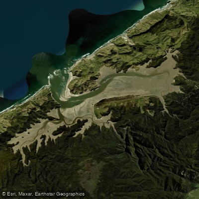
Kahurangi sits in the northwest corner of the South Island, a two-million-acre block of ranges, plateaus, and river valleys that drain in several directions — west to the Tasman Sea, north toward Golden Bay, and south toward the West Coast.
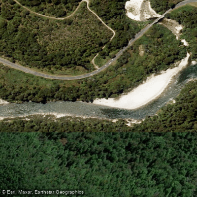
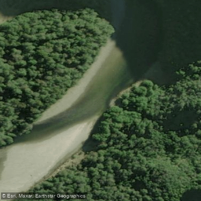
The park holds a dense network of rivers and streams, most of them clear, cold, and lightly fished simply because reaching them takes effort. Brown trout are the target throughout. The Karamea is the river most associated with the park's reputation.
It runs deep into the interior, and the browns here are known for their size and the deliberate way they feed — fish that will rise to a dry fly but require patience at the strike.
Access to the upper Karamea means either a multi-day walk via the Leslie-Karamea Track, which takes six to nine days to complete, or a helicopter flight in.
The Wangapeka and Clark rivers drain similar country and draw anglers willing to put in the same kind of legwork. To the north, the Aorere, Tākaka, Anatoki, and Cobb rivers are more accessible from the Golden Bay side.
These are smaller systems by comparison, but they hold fish and see less pressure than the interior drainages.
On the West Coast margin, the Karamea's tributaries and rivers like the Mōkihinui North and South branches and the Wangapeka feed into country that rewards anglers who move slowly and cover water carefully.
Helicopter access is common for the remote beats — operators have been running heli-fishing trips into the park for decades, and some work within park guidelines that limit stays to three nights at any one hut, with a recommended maximum of five days in the park at a stretch.
That rotation exists to spread pressure across the fishery and keep the experience viable for everyone using it. Fishing here is sight-fishing. The water clarity means the fish can see you as well as you can see them.
A careful approach matters more than gear selection on most days. The fish are wild, the country is genuinely remote, and the rivers will still be here if you treat them that way.
Species & education
Learn what type of fish are in Kahurangi National Park and what's needed to catch them.

Find which waters have the species you want to catch

Brown Trout
Salmo trutta

Climbing Galaxias
Galaxias brevipinnis

New Zealand Longfin Eel
Anguilla dieffenbachii

Kahawai
Arripis trutta

Rig
Mustelus lenticulatus

Shortjawed Kokopu
Galaxias postvectis

Banded Kokopu
Galaxias fasciatus

Common Smelt
Retropinna retropinna

Giant Kokopu
Galaxias argenteus

Puye
Galaxias maculatus

Short-finned Eel
Anguilla australis
Water and weather conditions (10 day forecast)
See the best times to fish Kahurangi National Park and check the forecast before you go.
No forecast data available.
Fish smarter with real-time insights
Whether you're en route and conditions shift or you're looking for the best spot based on current flows, we enable you to make informed decisions on the fly.




Fishing near Kahurangi National Park
Loading...
Gateway towns
Where to base yourself for fishing in Kahurangi National Park.
- MotuekaNelson-Tasman
Gateway town on the eastern side of the park with accommodation, supplies, and road access to key trailheads.
- TākakaNelson-Tasman
Gateway town for the northern park entrances, serving the Heaphy Track and Golden Bay-side trails with guides and lodging.
- KarameaWest Coast
Remote west-coast gateway for the Heaphy Track's southern end and the Oparara Basin caves, with local accommodation and outfitters.
- MurchisonNelson-Tasman
Southern gateway town providing access to the Wangapeka and other southern park tracks, with accommodation and services.
Explore Kahurangi National Park
Top fishing waters
Popular Cities
Loading popular cities...

Smarter Fishing Starts in the App.
onWater Fish gives you everything you need to plan smarter, fish better, and own every trip from first cast to last.