Whanganui Inlet
- Saltwater
- Inlet
Whanganui Inlet
- Saltwater
- Inlet
- Sq. miles
- 10
- Boat Ramps
- 0
- Access Points
- 0
- Species
- 2
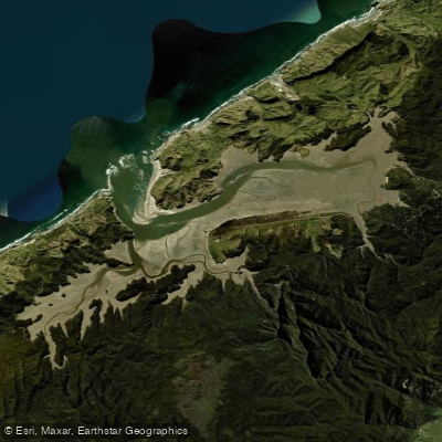
Whanganui Inlet, also known as Westhaven, is a 13-kilometer-long, 2.5-kilometer-wide drowned river valley running parallel to the northwest coast of New Zealand's South Island. This large, unspoiled estuary is bordered by the lush coastal forest of Kahurangi National Park and is protected as both a marine reserve and a wildlife sanctuary, the first estuary in the country to receive such combined protection. The inlet features extensive tidal sandflats, seagrass beds, and salt marshes that create a rich marine environment, supporting a diverse fishery. It is a remote and scenic destination popular for recreational fishing and boating, offering a unique blend of sheltered waters and access to the Tasman Sea through a narrow channel.
Species & education
Learn what type of fish are at Whanganui Inlet and what's needed to catch them.



Fishing spots, boat ramps & amenities
Learn how to get on Whanganui Inlet. Uncover great fishing access points, boat ramps, and all the facilities you need for an unforgettable day on the water. Some locations shown may border or include private property. Always check property boundaries and applicable regulations before visiting. onWater's Public & Private Land layer can help you plan your access with confidence.
Productive fishing areas are found along the extensive tidal sandflats and within the dense seagrass beds, particularly in the mid to low water zones. The narrow channel connecting the inlet to the Tasman Sea is a focal point for species moving with the tide. The edges of the channel and deeper holes near its entrance hold fish. Historical wharf structures, like those near the old settlement of Rakopi, also provide fishing access and structure.
Know where you can legally fish on Whanganui Inlet
See public and private land boundaries along the water, turn on private parcels with owner details to know where permission is required, and find land-trust parcels that offer permitted fishing access.
Tasman licenses and regulations
No licenses or regulations available for Tasman.
Take Whanganui Inlet with you
The onWater Fish app keeps this water's access points, species and conditions in your pocket, with the tools you use once you're there.
Use the map without signal
Download the map around Whanganui Inlet to use it offline when coverage drops.
Log your catches here
Keep a private fishing journal for Whanganui Inlet to find where and when fish are biting for you.
Get the onWater Fish app
Free on iOS and Android
Tides, wind & water conditions (10 day forecast)
On open water, wind and tide matter as much as the weather. See the best times to fish Whanganui Inlet and check the marine forecast before you launch.
Loading tide predictions…
Fishing near Whanganui Inlet
Tākaka River
Waingaro River
Golden Bay / Mohua
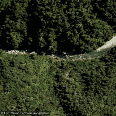
Anatoki River
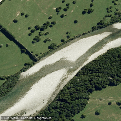
Aorere River
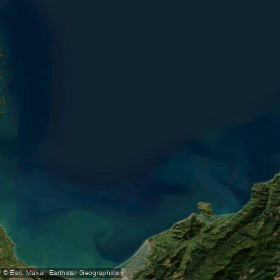
Tasman Bay / Te Tai-o-Aorere
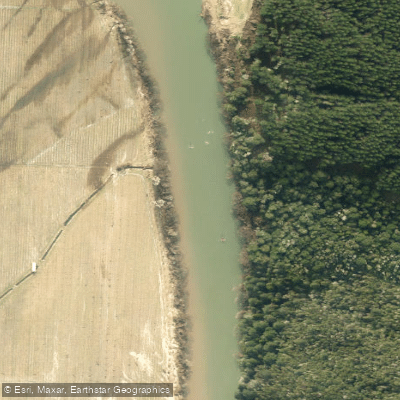
Motueka River
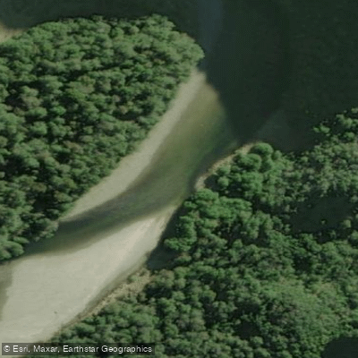
Karamea River
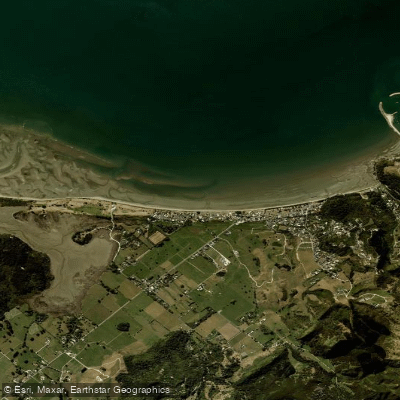
Pōhara Beach
Slate River
Explore Tasman waters
Top fishing waters
No waters available right now.
Popular Cities
Loading popular cities...
Explore near Whanganui Inlet

Smarter Fishing Starts in the App.
onWater Fish gives you everything you need to plan smarter, fish better, and own every trip from first cast to last.