Whanganui River

Whanganui River
- Boat Ramps
- 1
- Access Points
- 1
- Species
- 6
The Whanganui River is New Zealand's third-longest river, stretching 290 kilometers from its source on the northern slopes of Mount Tongariro in the central volcanic plateau to its mouth at the Tasman Sea near the city of Whanganui. It flows through diverse landscapes, from the bush-clad hill country of the King Country to the lower reaches near the coast. The river holds immense cultural significance and was granted legal personhood status in 2017, reflecting its deep importance to local Māori. While the main river is not part of the Whanganui National Park, much of the land flanking its upper sections lies within the park boundaries. The river's average discharge is 219 cubic meters per second, and its catchment area covers 7,380 square kilometers, fed by major tributaries like the Whakapapa, Retaruke, Manganui o te Ao, Pungapunga, Ongarue, Ōhura, Tāngarākau, and Whangamōmona Rivers.
Species & education
Learn what type of fish are at Whanganui River and what's needed to catch them.

Find which waters have the species you want to catch

Brown Trout
Salmo trutta

Common Smelt
Retropinna retropinna

New Zealand Longfin Eel
Anguilla dieffenbachii

Puye
Galaxias maculatus

Rainbow Trout
Oncorhynchus mykiss

Short-finned Eel
Anguilla australis
Fishing spots, boat ramps & amenities
Learn how to get on Whanganui River. Uncover great fishing access points, boat ramps, and all the facilities you need for an unforgettable day on the water. Some locations shown may border or include private property. Always check property boundaries and applicable regulations before visiting. onWater's Public & Private Land layer can help you plan your access with confidence.
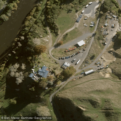
Know where you can legally fish on Whanganui River
See public and private land boundaries along the water, turn on private parcels with owner details to know where permission is required, and find land-trust parcels that offer permitted fishing access.
Manawatū Whanganui licenses and regulations
No licenses or regulations available for Manawatū Whanganui.
Take Whanganui River with you
The onWater Fish app keeps this water's access points, species and conditions in your pocket, with the tools you use once you're there.
Use the map without signal
Download the map around Whanganui River to use it offline when coverage drops.
Log your catches here
Keep a private fishing journal for Whanganui River to find where and when fish are biting for you.
Get the onWater Fish app
Free on iOS and Android
Water and weather conditions (10 day forecast)
See the best times to fish Whanganui River and check the forecast before you go.
No forecast data available.
Fishing near Whanganui River
Ōngarue River
Waikawau Beach
Ōhura River
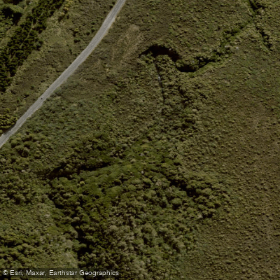
Mangatepopo Stream
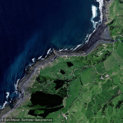
Kiritehere Beach
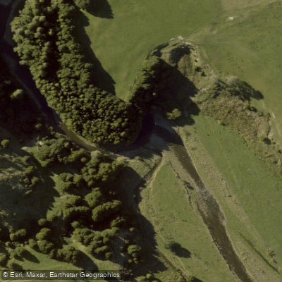
Retaruke River
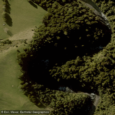
Whakapapa River
Piritoki Reef
Whakapapanui Stream
Explore Manawatū Whanganui waters
Top fishing waters
No waters available right now.
Popular Cities
Loading popular cities...
Explore near Whanganui River
Fishing spots
Nearby waters
More in Manawatū Whanganui

Smarter Fishing Starts in the App.
onWater Fish gives you everything you need to plan smarter, fish better, and own every trip from first cast to last.