Haringvliet
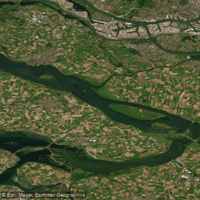
Haringvliet
- Boat Ramps
- 1
- Access Points
- 5
- Species
- 14
The Haringvliet is one of the most productive and expansive predator fisheries in the Netherlands, forming a critical part of the Rhine-Maas delta system in South Holland. This inland waterway stretches approximately 28 kilometers in length and ranges from 800 to 3,150 meters in width, covering more than 4,000 hectares of water. Depths vary considerably across the basin, ranging from 8 to 39 meters, providing a diverse range of underwater habitats for both prey and predator species. The Haringvliet connects directly to the Hollandsdiep to the east and is bounded to the west by the iconic Haringvlietdam, a massive sluice structure that has profoundly shaped the ecology of the entire delta region. Water clarity has improved significantly in recent years, which has shifted the balance of the fishery — favoring pike over zander in many areas, though trophy-sized zander are still very much present. The Haringvliet sits within a broader network of exceptional predator waters that includes the Volkerak and Hollandsdiep, making the entire South Holland delta region a destination of international significance for serious anglers.
Species & education
Learn what type of fish are at Haringvliet and what's needed to catch them.

Find which waters have the species you want to catch

Allis Shad
Alosa alosa

Common Bream
Abramis brama

Common Carp
Cyprinus carpio

Common Gudgeon
Gobio gobio

Common Roach
Rutilus rutilus

Eurasian Asp
Leuciscus aspius

Eurasian Pikeperch
Sander lucioperca

European Eel
Anguilla anguilla

European Perch
Perca fluviatilis

Ide
Leuciscus idus

Rudd
Scardinius erythrophthalmus

Ruffe
Gymnocephalus cernua

Silver Bream
Blicca bjoerkna

Twaite Shad
Alosa fallax
Fishing spots, boat ramps & amenities
Learn how to get on Haringvliet. Uncover great fishing access points, boat ramps, and all the facilities you need for an unforgettable day on the water. Some locations shown may border or include private property. Always check property boundaries and applicable regulations before visiting. onWater's Public & Private Land layer can help you plan your access with confidence.
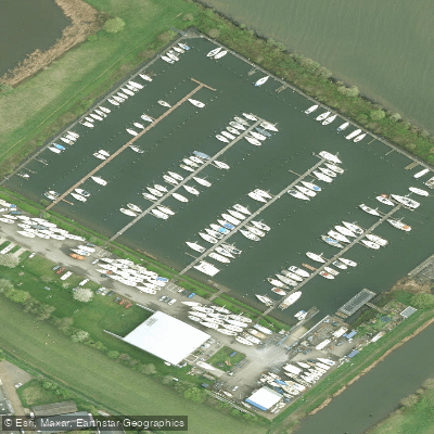
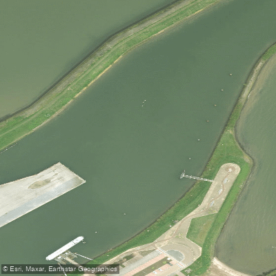
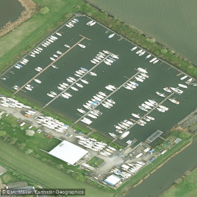
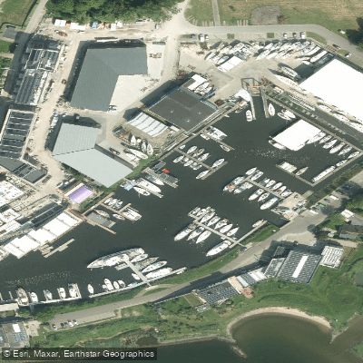
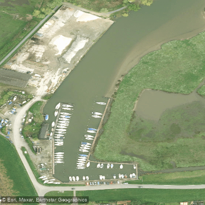
Know where you can legally fish on Haringvliet
See public and private land boundaries along the water, turn on private parcels with owner details to know where permission is required, and find land-trust parcels that offer permitted fishing access.
South Holland licenses and regulations
No licenses or regulations available for South Holland.
Take Haringvliet with you
The onWater Fish app keeps this water's access points, species and conditions in your pocket, with the tools you use once you're there.
Use the map without signal
Download the map around Haringvliet to use it offline when coverage drops.
Log your catches here
Keep a private fishing journal for Haringvliet to find where and when fish are biting for you.
HD depth charts from Garmin
Find drop offs, ledges, channels, points and shallow flats with Garmin depth charts in the app.
Get the onWater Fish app
Free on iOS and Android
Water and weather conditions (10 day forecast)
See the best times to fish Haringvliet and check the forecast before you go.
No forecast data available.
Fishing near Haringvliet
Oude Maas
Oude Maas
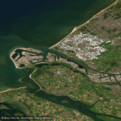
Nieuwe Waterweg
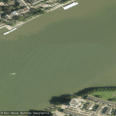
Nieuwe Maas
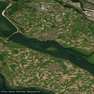
Haringvliet-west
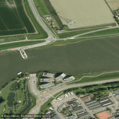
Spui
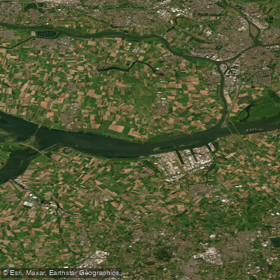
Hollandsch Diep
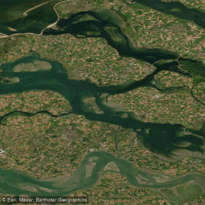
Oosterschelde
Hollandsch Diep
Explore South Holland waters
Top fishing waters
No waters available right now.
Popular Cities
Loading popular cities...
Explore near Haringvliet
Fish species
Fishing spots
Nearby waters
More in South Holland

Smarter Fishing Starts in the App.
onWater Fish gives you everything you need to plan smarter, fish better, and own every trip from first cast to last.