Nieuwe Waterweg
- Saltwater
- Estuary
Nieuwe Waterweg
- Saltwater
- Estuary
- Sq. miles
- 22
- Boat Ramps
- 0
- Access Points
- 6
- Species
- 32
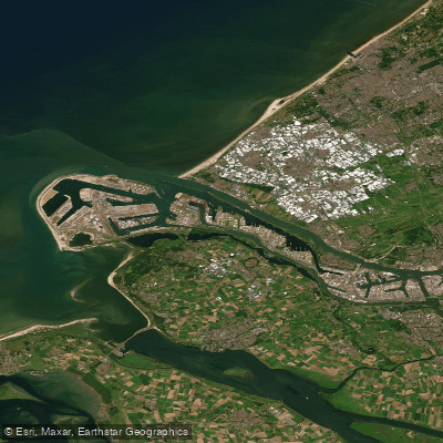
The Nieuwe Waterweg is a major tidal estuary and navigation channel in South Holland, Netherlands, serving as the primary maritime artery connecting the Port of Rotterdam directly to the North Sea. This man-made waterway, opened in 1872, is a deep, saltwater corridor characterized by significant commercial shipping traffic. Unlike other Dutch delta outlets that have been closed off, the Nieuwe Waterweg remains the only fully open, lock-free connection between the Rhine-Meuse river system and the sea. The waterway has been repeatedly deepened over the twentieth century, with its navigation channel now reaching depths of 16.2 meters. As a tidal estuary, it experiences the full influence of North Sea tides, creating dynamic currents that mix saltwater with the freshwater inputs from the Nieuwe Maas and Oude Maas rivers. The banks are heavily developed for port infrastructure, with urban centers like Vlaardingen and Schiedam located along its northern shore.
Species & education
Learn what type of fish are at Nieuwe Waterweg and what's needed to catch them.

Find which waters have the species you want to catch

Atlantic Cod
Gadus morhua

Atlantic Herring
Clupea harengus

Atlantic Horse Mackerel
Trachurus trachurus

Atlantic Mackerel
Scomber scombrus

Atlantic Salmon
Salmo salar

Brill
Scophthalmus rhombus

Coalfish
Pollachius virens

Common Sole
Solea solea

Dab
Limanda limanda

European Anchovy
Engraulis encrasicolus

European Eel
Anguilla anguilla

European Flounder
Platichthys flesus

European Plaice
Pleuronectes platessa

European Seabass
Dicentrarchus labrax

European Smelt
Osmerus eperlanus

European Sprat
Sprattus sprattus

Garfish
Belone belone

Lemon Sole
Microstomus kitt

Lesser Spotted Dogfish
Scyliorhinus canicula

Lesser Weever
Echiichthys vipera

Lumpsucker
Cyclopterus lumpus

Pollack
Pollachius pollachius

Pouting
Trisopterus luscus

Sea Trout
Salmo trutta

Spotted Ray
Raja montagui

Thicklip Grey Mullet
Chelon labrosus

Thornback Ray
Raja clavata

Tub Gurnard
Chelidonichthys lucerna

Turbot
Scophthalmus maximus

Twaite Shad
Alosa fallax

Viviparous Eelpout
Zoarces viviparus

Whiting
Merlangius merlangus
Fishing spots, boat ramps & amenities
Learn how to get on Nieuwe Waterweg. Uncover great fishing access points, boat ramps, and all the facilities you need for an unforgettable day on the water. Some locations shown may border or include private property. Always check property boundaries and applicable regulations before visiting. onWater's Public & Private Land layer can help you plan your access with confidence.
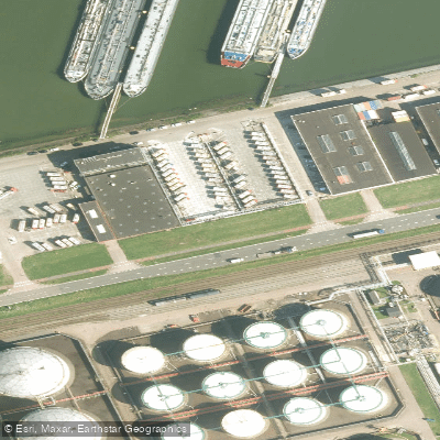
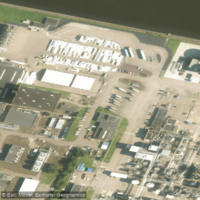
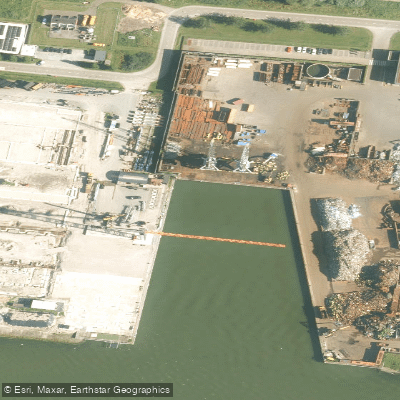
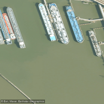
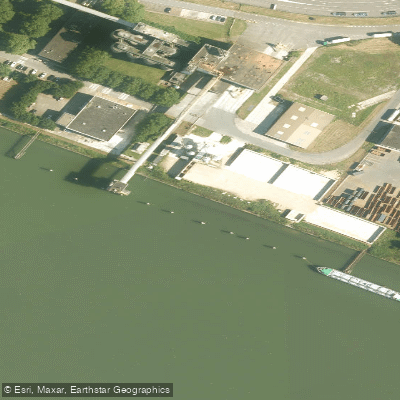
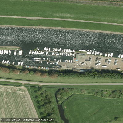
Know where you can legally fish on Nieuwe Waterweg
See public and private land boundaries along the water, turn on private parcels with owner details to know where permission is required, and find land-trust parcels that offer permitted fishing access.
South Holland licenses and regulations
No licenses or regulations available for South Holland.
Take Nieuwe Waterweg with you
The onWater Fish app keeps this water's access points, species and conditions in your pocket, with the tools you use once you're there.
Use the map without signal
Download the map around Nieuwe Waterweg to use it offline when coverage drops.
Log your catches here
Keep a private fishing journal for Nieuwe Waterweg to find where and when fish are biting for you.
Get the onWater Fish app
Free on iOS and Android
Tides, wind & water conditions (10 day forecast)
On open water, wind and tide matter as much as the weather. See the best times to fish Nieuwe Waterweg and check the marine forecast before you launch.
Loading tide predictions…
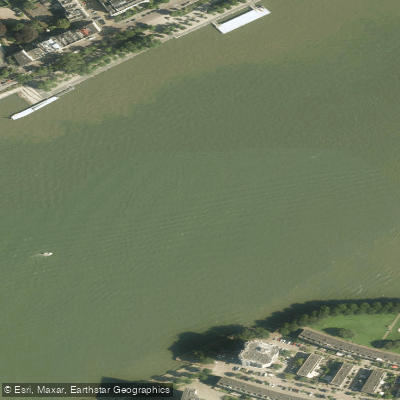
Fishing near Nieuwe Waterweg
Nieuwe Maas
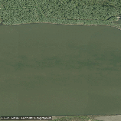
Oude Maas
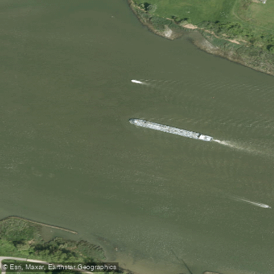
Oude Maas
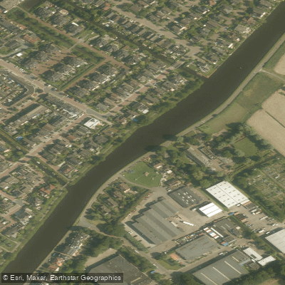
Rijn-Schiekanaal
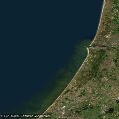
Hollandse kust (kustwater)
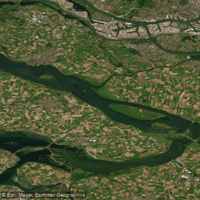
Haringvliet
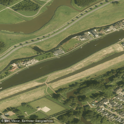
Rotte
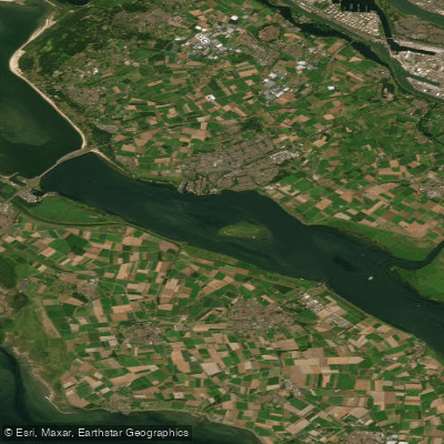
Haringvliet-west
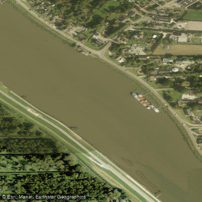
Hollandsche IJssel
Explore South Holland waters
Top fishing waters
No waters available right now.
Popular Cities
Loading popular cities...
Explore near Nieuwe Waterweg
Fish species
Fishing spots
Nearby waters
More in South Holland

Smarter Fishing Starts in the App.
onWater Fish gives you everything you need to plan smarter, fish better, and own every trip from first cast to last.