Lough Beagh
Lough Beagh
- Boat Ramps
- 0
- Access Points
- 0
- Species
- 5
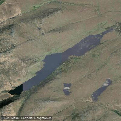
Lough Beagh is a stunning glacial lake nestled in the narrow Glenveagh valley of northwest County Donegal, Ireland, approximately 24 kilometres northwest of Letterkenny. Surrounded by the dramatic Derryveagh and Glendowan Mountains, steep granite cliffs rise on both sides of the lake to heights of around 300 metres (1,000 feet), creating a wild and remote setting that is as visually spectacular as it is productive for fishing. The lake measures approximately 6.5 kilometres long and 0.8 kilometres wide, with a surface area of 2.61 square kilometres and an average depth of 9.2 metres (30 feet). Situated entirely within Glenveagh National Park — the most northerly of Ireland's six national parks — Lough Beagh is fed primarily by the Owenbeagh River entering at its southern end and drains northward via the Owencarrow River, which connects it to its northern neighbour, Glen Lough. The underlying geology is predominantly granite, felsite, and other silica-rich intrusive rocks, giving the lake low alkalinity (less than 20 mg/l CaCO3), characteristic of wild, oligotrophic Irish upland waters. The lake features numerous small islands at its northern end, adding to both its scenic character and its fishing interest.
Species & education
Learn what type of fish are at Lough Beagh and what's needed to catch them.

Find which waters have the species you want to catch

Arctic Char
Salvelinus alpinus

Atlantic Salmon
Salmo salar

Brown Trout
Salmo trutta

Eurasian Minnow
Phoxinus phoxinus

European Eel
Anguilla anguilla
Fishing spots, boat ramps & amenities
Learn how to get on Lough Beagh. Uncover great fishing access points, boat ramps, and all the facilities you need for an unforgettable day on the water. Some locations shown may border or include private property. Always check property boundaries and applicable regulations before visiting. onWater's Public & Private Land layer can help you plan your access with confidence.
The lake's numerous small islands at its northern end provide natural focal points for drifting anglers. The broader lough, fished by drifting boat, offers varied water across its approximately 6.5-kilometre length. The southern end receives the inflow of the Owenbeagh River, which can concentrate fish, particularly during and after rainfall when fresh fish are moving. The connecting Owencarrow River, which links Lough Beagh with Glen Lough to the north, also holds fish as salmon and sea trout move between the two loughs, though large sections of this river are deep with little flow, and a good ripple is needed for success there.
Know where you can legally fish on Lough Beagh
See public and private land boundaries along the water, turn on private parcels with owner details to know where permission is required, and find land-trust parcels that offer permitted fishing access.
Co. Donegal licenses and regulations
No licenses or regulations available for Co. Donegal.
Take Lough Beagh with you
The onWater Fish app keeps this water's access points, species and conditions in your pocket, with the tools you use once you're there.
Use the map without signal
Download the map around Lough Beagh to use it offline when coverage drops.
Log your catches here
Keep a private fishing journal for Lough Beagh to find where and when fish are biting for you.
HD depth charts from Garmin
Find drop offs, ledges, channels, points and shallow flats with Garmin depth charts in the app.
Get the onWater Fish app
Free on iOS and Android
Water and weather conditions (10 day forecast)
See the best times to fish Lough Beagh and check the forecast before you go.
No forecast data available.
Fishing near Lough Beagh
Gweebarra
Leannan
Gweedore Bay
Finn [Donegal]
Tullaghobegly
Sheephaven Bay
Lower Lough Erne
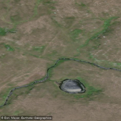
Owennamarve
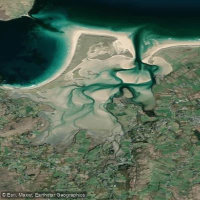
Ballyness Bay
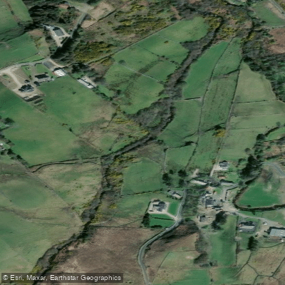
Ray 38
Explore Donegal waters
Top fishing waters
No waters available right now.
Popular Cities
Loading popular cities...
Explore near Lough Beagh
Nearby waters
More in Co. Donegal

Smarter Fishing Starts in the App.
onWater Fish gives you everything you need to plan smarter, fish better, and own every trip from first cast to last.