Gweebarra
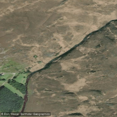
Gweebarra
- Boat Ramps
- 0
- Access Points
- 0
- Species
- 3
The Gweebarra River is a premier salmon and sea trout fishery tucked into the wild, scenic landscape of west County Donegal, Ireland. Flowing approximately 31.78 kilometers (nearly 20 miles) from its headwaters above Lough Barra, the river travels southwest between the Derryveagh Mountains and the Glendowan Mountains before passing through Doocharry village and emptying into Gweebarra Bay and ultimately the Atlantic Ocean. Fed by key tributaries including the Owenwee, Cloghernagore, and Croagheen rivers, the Gweebarra is a classic spate fishery — meaning its fishing quality is closely tied to rainfall and river levels. The upper reaches pass through parts of the Cloghernagore Bog and fall within the Glenveagh National Park Special Area of Conservation (SAC), while the lower stretches run through the West of Ardara/Maas Road SAC. The river's oligotrophic (nutrient-poor, clear) waters and spate character create ideal conditions for Atlantic salmon and sea trout, and the fishery is managed by Inland Fisheries Ireland (IFI) in cooperation with the Gweebarra Fishing Club. The managed fishery spans 13 kilometers of river divided into six beats, plus an additional 14 kilometers of productive estuary fishing in Gweebarra Bay.
Species & education
Learn what type of fish are at Gweebarra and what's needed to catch them.

Find which waters have the species you want to catch

Atlantic Salmon
Salmo salar

Brown Trout
Salmo trutta

European Eel
Anguilla anguilla
Fishing spots, boat ramps & amenities
Learn how to get on Gweebarra. Uncover great fishing access points, boat ramps, and all the facilities you need for an unforgettable day on the water. Some locations shown may border or include private property. Always check property boundaries and applicable regulations before visiting. onWater's Public & Private Land layer can help you plan your access with confidence.
Beat 1 – Upper River (Lough Barra to Croagheen River Junction)
Beat 1 runs 1.7 kilometers from Lough Barra downstream to the junction with the Croagheen River. This is the most remote beat, requiring either access from Lough Barra or a long walk upstream from Beat 2. The effort is rewarded with classic wild river pools including Poll na Locha (The Lough Pool), Poll Francie (Francie's Pool), Na Lúbacha Dubha (The Black Loops), and Min an Chuilinn at the Croagheen River junction. Anglers should be prepared for significant walking on this beat.
Beat 2 – Upper-Middle River (Croagheen Junction to Island Pool)
Beat 2 covers just over 3 kilometers from the Croagheen River junction downstream to just above a large corner pool where the river briefly splits into three channels. Access is via a rough track over the bog from the R254 road near Duffy's Falls — approximately a half-hour walk. Well-known pools and sections include Sratha Uí Dufaigh (Duffy's Holms), Poll an Easa (Duffy's Falls Pool), Leithbhinn (Duffy's Falls), and Poll an Oileáin (First Island Pool). Expect rough walking throughout this beat.
Beat 3 through Beat 5 – Middle River
These beats cover the middle stretches of the 13-kilometer managed section, passing through varied holding water with numerous named pools. The famous Mayo Pool, located where the Cloghanagore River enters the main river, is one of the most celebrated holding pools on the entire system and is a focal point for anglers targeting both salmon and sea trout.
Beat 6 – Lower River (Footbridge to Doochary)
Beat 6 runs 1.5 kilometers from a footbridge approximately 600 meters upstream of the Owenwee River junction downstream to the tail of Poll na mBreac (Trout Pool), just below the bridge in Doochary village. Access is from Doochary Town. Notable pools include Poll an Ghobáin (Joining Pool), Poll Uí Cheallaigh (Kelly's Pool), Poll Uí Bhaoill (O'Boyle's Pool), Poll an Chrosaire (Cross Roads Pool), and Poll na mBreac (Trout Pool). This beat also features a wheelchair-accessible angling section established at Doochary village.
Estuary – Gweebarra Bay
The estuary extends approximately 14 kilometers and offers excellent fishing for sea trout, eels, and flounder. The bank at Illanfad is a particularly favored location. The estuary also provides exciting fly fishing and spinning opportunities for sea trout as they stage before entering the river.
Know where you can legally fish on Gweebarra
See public and private land boundaries along the water, turn on private parcels with owner details to know where permission is required, and find land-trust parcels that offer permitted fishing access.
Co. Donegal licenses and regulations
No licenses or regulations available for Co. Donegal.
Take Gweebarra with you
The onWater Fish app keeps this water's access points, species and conditions in your pocket, with the tools you use once you're there.
Use the map without signal
Download the map around Gweebarra to use it offline when coverage drops.
Log your catches here
Keep a private fishing journal for Gweebarra to find where and when fish are biting for you.
Get the onWater Fish app
Free on iOS and Android
Water and weather conditions (10 day forecast)
See the best times to fish Gweebarra and check the forecast before you go.
No forecast data available.
Fishing near Gweebarra
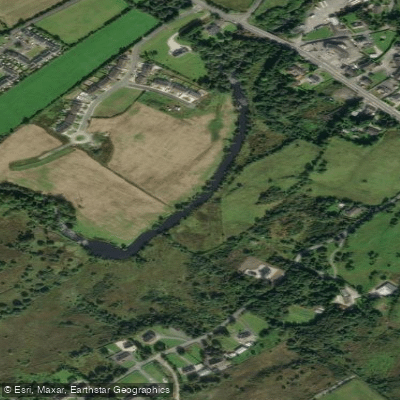
Leannan
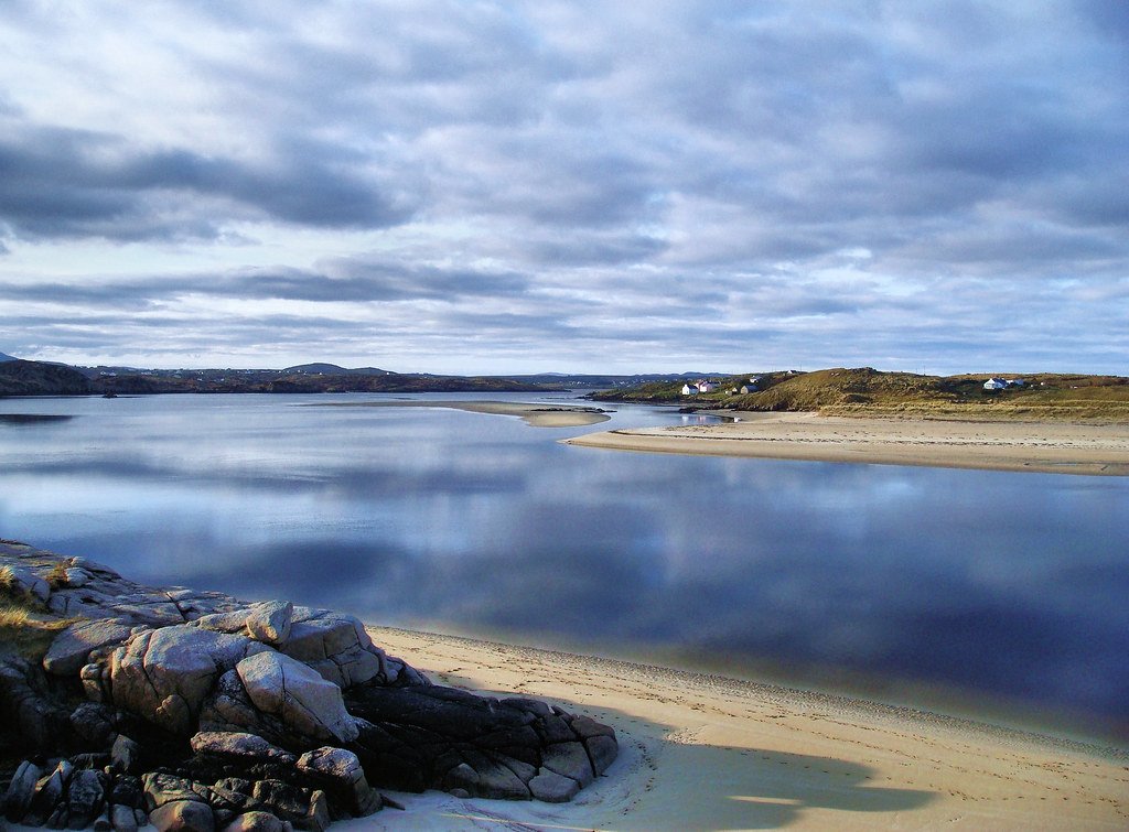
Gweedore Bay
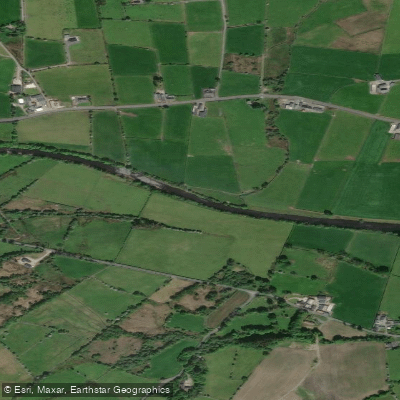
Finn [Donegal]
Tullaghobegly
Sheephaven Bay
Lower Lough Erne
Owennamarve
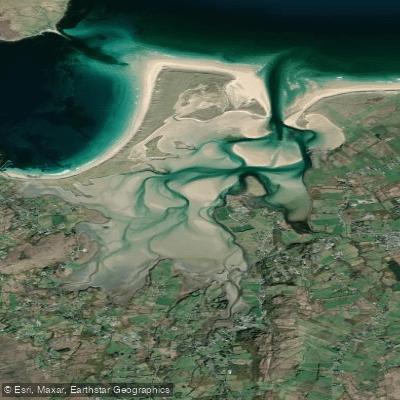
Ballyness Bay
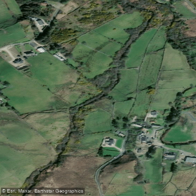
Ray 38
Explore Donegal waters
Top fishing waters
No waters available right now.
Popular Cities
Loading popular cities...
Explore near Gweebarra
Fish species
More in Co. Donegal

Smarter Fishing Starts in the App.
onWater Fish gives you everything you need to plan smarter, fish better, and own every trip from first cast to last.