Finn [Donegal]
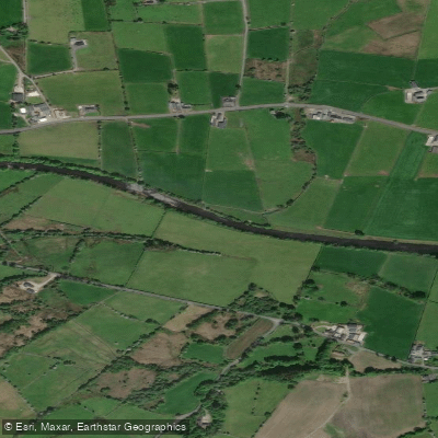
Finn [Donegal]
- Boat Ramps
- 0
- Access Points
- 0
- Species
- 0
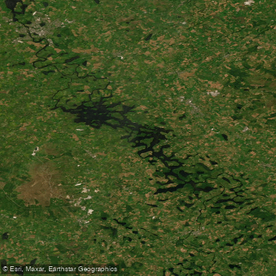
The River Finn is one of Ireland's most celebrated salmon fisheries, rising from Lough Finn in the Blue Stack Mountains of County Donegal and flowing eastward for approximately 39 miles (63 km) through central Donegal before joining the River Mourne at the border town of Lifford, where it ultimately drains into the tidal River Foyle. The name "Finn" derives from the Irish word meaning "fair" or "clear," a fitting description for this productive spate river. Lough Finn itself, the river's source, covers approximately 284 acres with roughly 5.9 miles of shoreline. The Finn is a grade 1 listed, medium-sized spate river — meaning its flows are heavily influenced by rainfall — and its privileged location at the foot of the Blue Stack Mountains ensures regular rainfall throughout the season, keeping fresh fish moving into the system. Scientific estimations place the annual Foyle system salmon run at approximately 60,000 fish, with the River Finn accounting for nearly 20% of that total. Over recent years, the average annual catch on the Finn system has been estimated at around 2,500 salmon, and the river's five-year average fish count has been recorded at approximately 3,046 fish exceeding 45 cm. The Finn and its principal tributary, the River Reelin, are widely regarded as the most prolific salmon and grilse rivers in Donegal and throughout the entire Foyle catchment.
Species & education
Learn what type of fish are at Finn [Donegal] and what's needed to catch them.
No species information available.
Fishing spots, boat ramps & amenities
Learn how to get on Finn [Donegal]. Uncover great fishing access points, boat ramps, and all the facilities you need for an unforgettable day on the water. Some locations shown may border or include private property. Always check property boundaries and applicable regulations before visiting. onWater's Public & Private Land layer can help you plan your access with confidence.
Know where you can legally fish on Finn [Donegal]
See public and private land boundaries along the water, turn on private parcels with owner details to know where permission is required, and find land-trust parcels that offer permitted fishing access.
Co. Donegal licenses and regulations
No licenses or regulations available for Co. Donegal.
Take Finn [Donegal] with you
The onWater Fish app keeps this water's access points, species and conditions in your pocket, with the tools you use once you're there.
Use the map without signal
Download the map around Finn [Donegal] to use it offline when coverage drops.
Log your catches here
Keep a private fishing journal for Finn [Donegal] to find where and when fish are biting for you.
Get the onWater Fish app
Free on iOS and Android
Water and weather conditions (10 day forecast)
See the best times to fish Finn [Donegal] and check the forecast before you go.
Ballybofey
Fishing near Finn [Donegal]
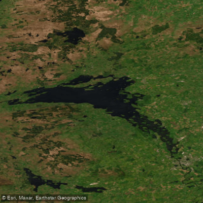
Lower Lough Erne
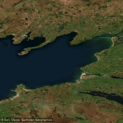
Donegal Bay (Erne)
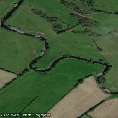
Deele [Donegal]

Shannon [Upper]
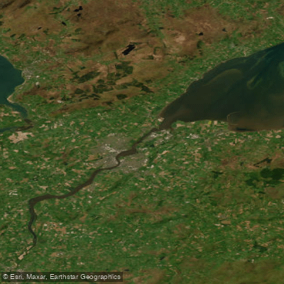
Foyle and Faughan Estuaries
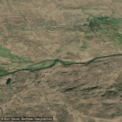
Reelan
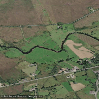
Owenea
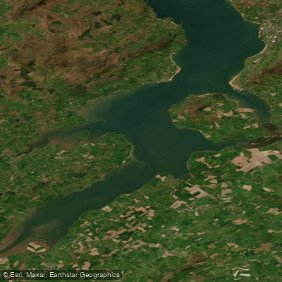
Outer Swilly Estuary
Erne (Lough) (Upper)
Explore Donegal waters
Top fishing waters
No waters available right now.
Popular Cities
Loading popular cities...
Explore near Finn [Donegal]
Nearby waters
More in Co. Donegal

Smarter Fishing Starts in the App.
onWater Fish gives you everything you need to plan smarter, fish better, and own every trip from first cast to last.