Gweedore Bay
- Saltwater
- Bay
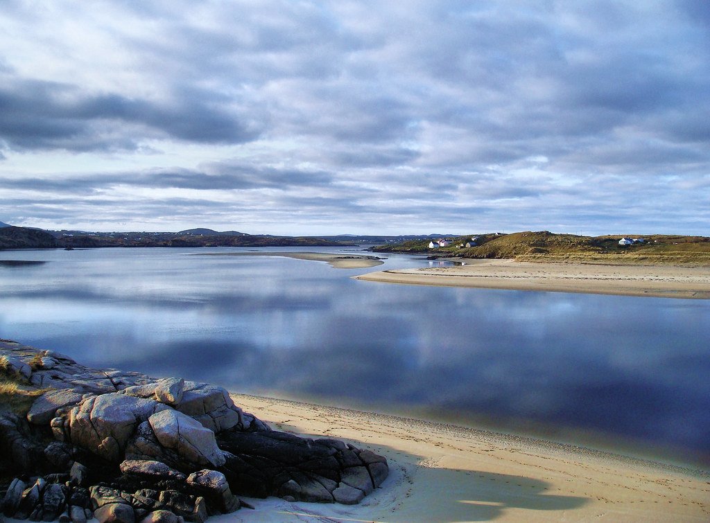
Gweedore Bay
- Saltwater
- Bay
- Sq. miles
- 13
- Boat Ramps
- 0
- Access Points
- 0
- Species
- 5
Gweedore Bay is a substantial, island-studded estuary on the northwest coast of County Donegal, offering a mix of sheltered inshore waters and more exposed coastal fishing. The bay is fed by several significant rivers, including the Clady and Crolly, which drain a network of inland loughs and bring freshwater influences into the saltwater environment. The landscape is characterized by sandy strands, rocky headlands, and a scattering of islands like Inishsirrer, which create a complex and varied marine habitat. This area is recognized as a Special Area of Conservation (SAC), highlighting its ecological importance. Angling here encompasses both boat-based and shore-based pursuits, targeting a range of resident and migratory saltwater species amidst a backdrop of dramatic Donegal scenery.
Species & education
Learn what type of fish are at Gweedore Bay and what's needed to catch them.

Find which waters have the species you want to catch

Ballan Wrasse
Labrus bergylta

Lesser Spotted Dogfish
Scyliorhinus canicula

Pollack
Pollachius pollachius

Sea Trout
Salmo trutta

Spotted Ray
Raja montagui
Fishing spots, boat ramps & amenities
Learn how to get on Gweedore Bay. Uncover great fishing access points, boat ramps, and all the facilities you need for an unforgettable day on the water. Some locations shown may border or include private property. Always check property boundaries and applicable regulations before visiting. onWater's Public & Private Land layer can help you plan your access with confidence.
Bunbeg Harbour and the mouth of the Clady River are central and productive access points for both boat and shore anglers. The pier at Bunbeg is a noted spot. The deeper channels and drop-offs in the central bay, particularly around the islands, are prime territory for boat-based pollack fishing. The anchorage areas near islands like Inishsirrer, with their sand and rock substrates, can hold fish. Braade Strand is another location of angling interest.
Know where you can legally fish on Gweedore Bay
See public and private land boundaries along the water, turn on private parcels with owner details to know where permission is required, and find land-trust parcels that offer permitted fishing access.
Co. Donegal licenses and regulations
No licenses or regulations available for Co. Donegal.
Take Gweedore Bay with you
The onWater Fish app keeps this water's access points, species and conditions in your pocket, with the tools you use once you're there.
Use the map without signal
Download the map around Gweedore Bay to use it offline when coverage drops.
Log your catches here
Keep a private fishing journal for Gweedore Bay to find where and when fish are biting for you.
Get the onWater Fish app
Free on iOS and Android
Tides, wind & water conditions (10 day forecast)
On open water, wind and tide matter as much as the weather. See the best times to fish Gweedore Bay and check the marine forecast before you launch.
Loading tide predictions…
Fishing near Gweedore Bay
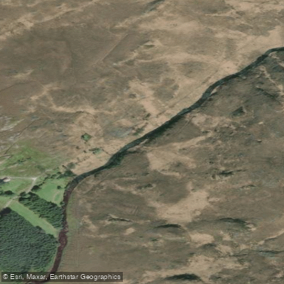
Gweebarra
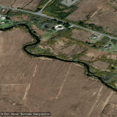
Clady [Donegal]
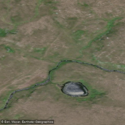
Owennamarve
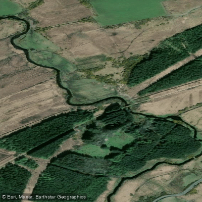
Tullaghobegly
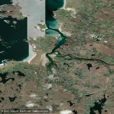
Gweedore Estuary
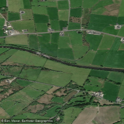
Finn [Donegal]
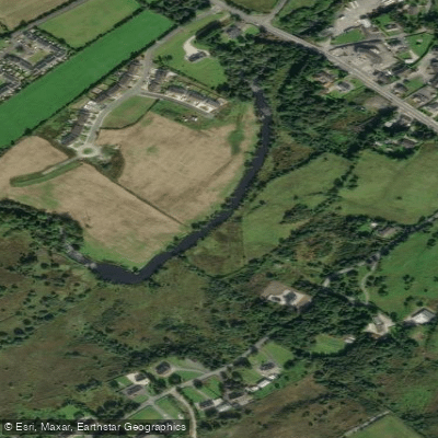
Leannan

Gweebarra Bay
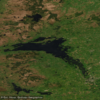
Lower Lough Erne
Explore Donegal waters
Top fishing waters
No waters available right now.
Popular Cities
Loading popular cities...
Explore near Gweedore Bay

Smarter Fishing Starts in the App.
onWater Fish gives you everything you need to plan smarter, fish better, and own every trip from first cast to last.