Pitt Lake
Pitt Lake
- Boat Ramps
- 0
- Access Points
- 0
- Species
- 21
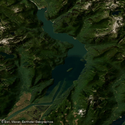
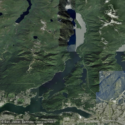
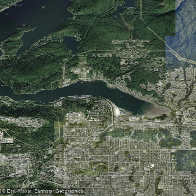
Pitt Lake is a vast, wild, and strikingly beautiful body of water located near Pitt Meadows, British Columbia, just a short distance from downtown Vancouver. Renowned as the largest tidal freshwater lake in the world, Pitt Lake covers approximately 7,700 hectares and sits at an elevation of roughly 50 meters above sea level. The lake is fed primarily by the Pitt River and numerous tributary streams, with much of the water originating from snowmelt and glacial runoff — giving the lake and its connected waterways their characteristic brilliant shades of blue and turquoise produced by glacial rock flour. The lake reaches a maximum depth of 143 meters, with a mean depth of around 45 meters, making it an exceptionally deep system with dramatic underwater topography. Steep cliffs plunge directly into the water along much of the shoreline, while shallow deltas form at the mouths of incoming streams. Nearly surrounded by public lands — including Golden Ears Provincial Park on the eastern shore and Pinecone Burke Provincial Park to the west — Pitt Lake has minimal road access and retains a genuine wilderness character that sets it apart from most fisheries in the Lower Mainland.
Species & education
Learn what type of fish are at Pitt Lake and what's needed to catch them.

Find which waters have the species you want to catch

Black Crappie
Pomoxis nigromaculatus

Brook Trout
Salvelinus fontinalis

Chinook Salmon
Oncorhynchus tshawytscha

Chum Salmon
Oncorhynchus keta
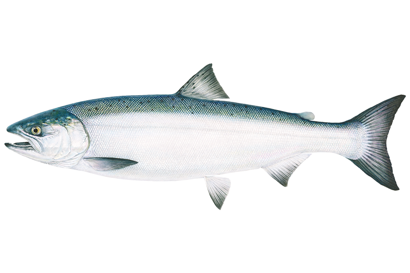
Coho Salmon
Oncorhynchus kisutch
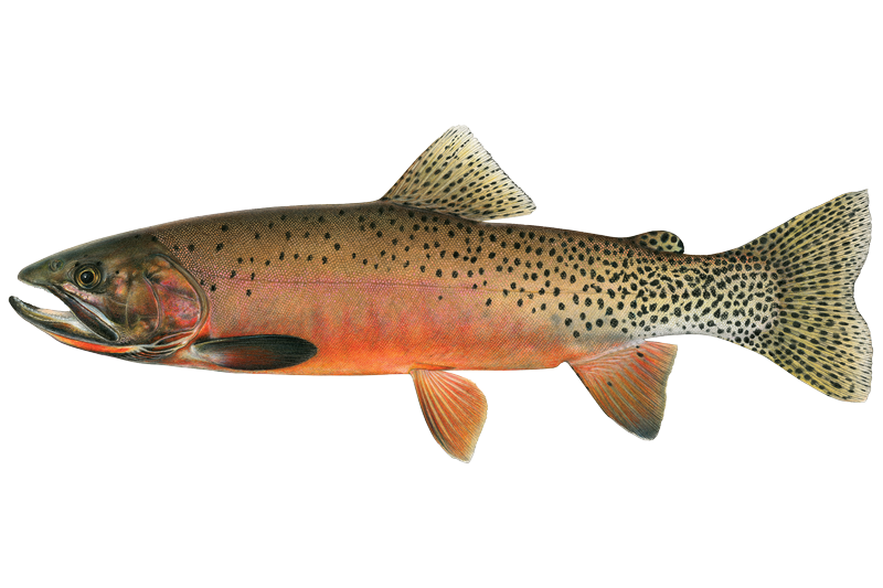
Cutthroat Trout
Oncorhynchus clarkii
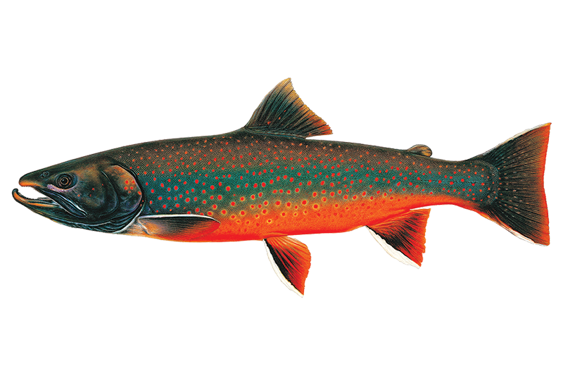
Dolly Varden
Salvelinus malma

Eulachon

Kokanee Salmon
Oncorhynchus nerka

Lake Whitefish
Coregonus clupeaformis

Largescale Sucker

Mountain Whitefish
Prosopium williamsoni
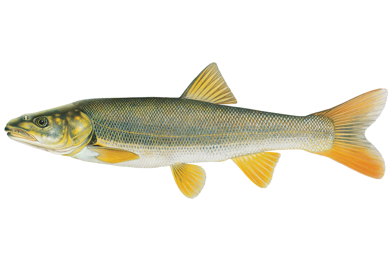
Northern Pikeminnow
Ptychocheilus oregonensis

Peamouth Chub

Pink Salmon
Oncorhynchus gorbuscha

Prickly Sculpin

Rainbow Trout
Oncorhynchus mykiss

Redside Shiner

Sockeye Salmon
Oncorhynchus nerka

Steelhead

Threespine Stickleback
Fishing spots, boat ramps & amenities
Learn how to get on Pitt Lake. Uncover great fishing access points, boat ramps, and all the facilities you need for an unforgettable day on the water. Some locations shown may border or include private property. Always check property boundaries and applicable regulations before visiting. onWater's Public & Private Land layer can help you plan your access with confidence.
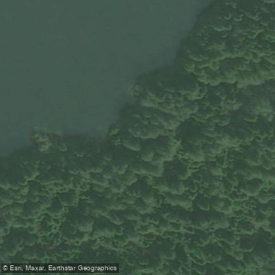
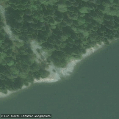
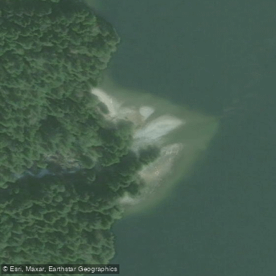
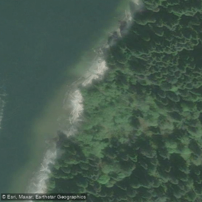
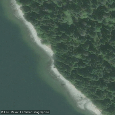
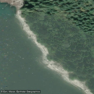
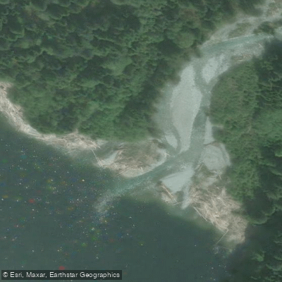
Know where you can legally fish on Pitt Lake
See public and private land boundaries along the water, turn on private parcels with owner details to know where permission is required, and find land-trust parcels that offer permitted fishing access.
Bc licenses and regulations
No licenses or regulations available for Bc.
Take Pitt Lake with you
The onWater Fish app keeps this water's access points, species and conditions in your pocket, with the tools you use once you're there.
Use the map without signal
Download the map around Pitt Lake to use it offline when coverage drops.
Log your catches here
Keep a private fishing journal for Pitt Lake to find where and when fish are biting for you.
HD depth charts from Garmin
Find drop offs, ledges, channels, points and shallow flats with Garmin depth charts in the app.
Get the onWater Fish app
Free on iOS and Android
Water and weather conditions (10 day forecast)
See the best times to fish Pitt Lake and check the forecast before you go.
No forecast data available.







Explore Bc waters
Top fishing waters
No waters available right now.
Popular Cities
Loading popular cities...
Explore near Pitt Lake
Fish species
Fishing spots
Nearby waters
More in Bc

Smarter Fishing Starts in the App.
onWater Fish gives you everything you need to plan smarter, fish better, and own every trip from first cast to last.