Rondevlei G
- Boat Ramps
- 0
- Access Points
- 0
- Species
- 2
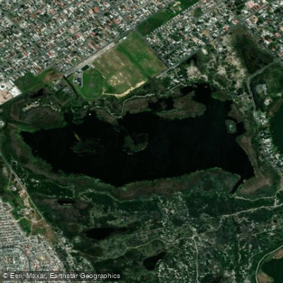
Rondevlei G is a small coastal lake nestled within the Wilderness Lakes System along South Africa's southern Cape coast. As a deflation basin artificially connected by a channel to Langvlei, Rondevlei sits at the upper end of a remarkable interconnected lake system that also includes Eilandvlei and Langvlei, all providing floodplain habitat for the Touw River and Estuary. With a surface area of 1.43 km² and a maximum depth of 6 meters, it is the smallest of the three lakes in the system. The lake's brackish, estuarine character creates a unique fishery where large euryhaline marine species become effectively trapped after migrating up through the system, making encounters with trophy-sized fish a genuine possibility.
Species & education
Learn what type of fish are at Rondevlei G and what's needed to catch them.
Find which waters have the species you want to catch

Banded Tilapia
Tilapia sparrmanii

Cape Galaxias
Galaxias zebratus
Fishing spots, boat ramps & amenities
Learn how to get on Rondevlei G. Uncover great fishing access points, boat ramps, and all the facilities you need for an unforgettable day on the water. Some locations shown may border or include private property. Always check property boundaries and applicable regulations before visiting. onWater's Public & Private Land layer can help you plan your access with confidence.
The deeper central basin, reaching up to 6 meters, is where the largest trapped marine species are most likely to be holding. Shore positions that provide access to deeper water or drop-offs offer the best prospects for white steenbras, leervis, and spotted grunter. The channel connection to Langvlei is a natural funnel point where fish movement between the lakes occurs, making it a productive area to target during periods of fish activity. Reed margins and shallower bays are productive areas for Cape stumpnose and mullet species.
Know where you can legally fish on Rondevlei G
See public and private land boundaries along the water, turn on private parcels with owner details to know where permission is required, and find land-trust parcels that offer permitted fishing access.
Western Cape licenses and regulations
Western Cape Boating Regulations
National Small Vessel Safety Regulations administered by the South African Maritime Safety Authority (SAMSA), covering recreational boats on inland and coastal waters. National page reused for all provinces, as there is no separate provincial boating-safety authority.
Western Cape Fishing License
Official CapeNature page for the Western Cape freshwater angling licence. A licence is required to fish for freshwater fish in inland public waters (rivers and state dams); apply via the form and supporting documents to CapeNature.

Western Cape Fishing Regulations
CapeNature page covering recreational freshwater fishing rules for dams and rivers in the Western Cape under the Nature Conservation Ordinance, detailing where a licence is required and conditions of use.
Western Cape Stream Access Laws
South Africa's National Water Act (No. 36 of 1998) is the national law governing rights to and use of rivers and watercourses - the framework relevant to stream/water access. National page reused as no distinct provincial stream-access page exists.
Take Rondevlei G with you
The onWater Fish app keeps this water's access points, species and conditions in your pocket, with the tools you use once you're there.
Use the map without signal
Download the map around Rondevlei G to use it offline when coverage drops.
Log your catches here
Keep a private fishing journal for Rondevlei G to find where and when fish are biting for you.
HD depth charts from Garmin
Find drop offs, ledges, channels, points and shallow flats with Garmin depth charts in the app.
Get the onWater Fish app
Free on iOS and Android
Water and weather conditions (10 day forecast)
See the best times to fish Rondevlei G and check the forecast before you go.
No forecast data available.
Fishing near Rondevlei G
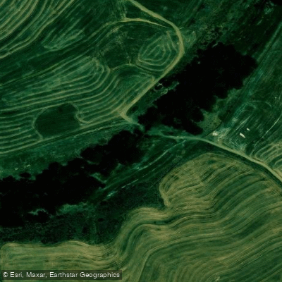
Diep
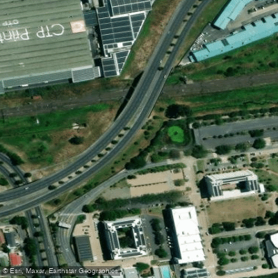
Elsieskraal
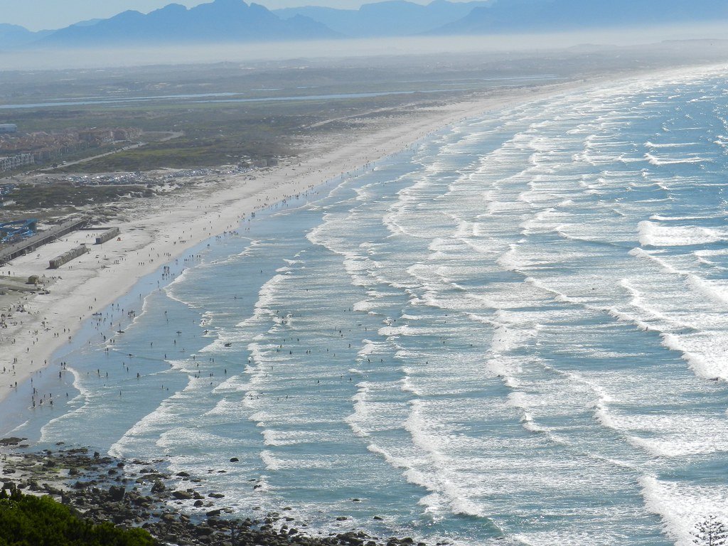
False Bay
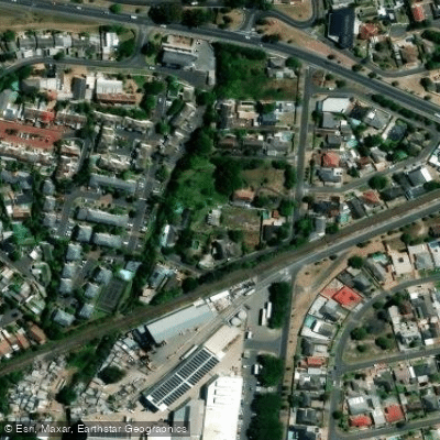
Diep
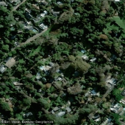
Hout Bay
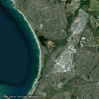
Diep/Rietvlei
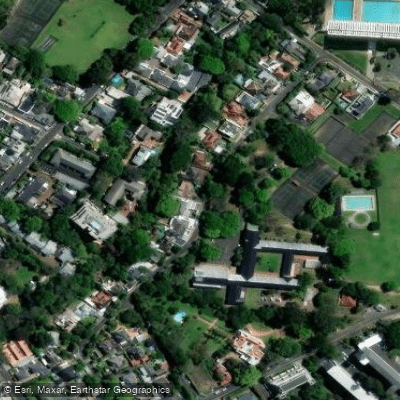
Liesbeek
Kuils
Zand
Bottelary
Explore Western Cape waters
Top fishing waters
No waters available right now.
Explore near Rondevlei G
Fish species
More in Western Cape
Smarter Fishing Starts in the App.
onWater Fish gives you everything you need to plan smarter, fish better, and own every trip from first cast to last.