uMhlathuze
- Saltwater
- Estuary
uMhlathuze
- Saltwater
- Estuary
- Sq. miles
- 22
- Boat Ramps
- 0
- Access Points
- 0
- Species
- 28
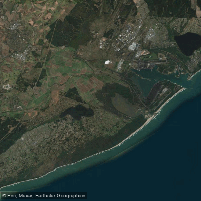
The uMhlathuze Estuary, encompassing the Richards Bay area within the King Cetshwayo District Municipality, is a premier saltwater angling destination on South Africa's east coast. This system is ranked among the top ten most important estuaries in the country from a conservation perspective, a testament to its ecological richness and productivity. Despite historical modifications, it remains a highly productive ecosystem that functions as a vital spawning and nursery ground for a diverse range of marine and estuarine organisms. The estuary offers a near-complete range of tidal estuarine habitats, including extensive intertidal and subtidal mudflats, sandbanks, the largest area of mangroves of any South African estuary, and seagrass beds. This mosaic of habitats supports complex food webs and provides exceptional fishing opportunities for both shore-based and boat anglers targeting inshore and estuarine species.
Species & education
Learn what type of fish are at uMhlathuze and what's needed to catch them.

Find which waters have the species you want to catch

Black Marlin
Istiompax indica

Black Musselcracker
Cymatoceps nasutus

Brindle Bass
Epinephelus lanceolatus

Bronze Bream
Pachymetopon grande

Dageraad
Chrysoblephus cristiceps

Eastern Little Tuna
Euthynnus affinis

Englishman
Chrysoblephus anglicus

Flathead Mullet
Mugil cephalus

Geelbek
Atractoscion aequidens

Giant Kingfish
Caranx ignobilis

Indo-Pacific Sailfish
Istiophorus platypterus

King Mackerel
Scomberomorus commerson

Leervis
Lichia amia

Natal Stumpnose
Rhabdosargus sarba

Potato Bass
Epinephelus tukula

Queen Mackerel
Scomberomorus plurilineatus

Red Steenbras
Petrus rupestris

Red Stumpnose
Chrysoblephus gibbiceps

Roman
Chrysoblephus laticeps

Santer
Cheimerius nufar

Scotsman
Polysteganus praeorbitalis

Seventy-four
Polysteganus undulosus

Skipjack Tuna
Katsuwonus pelamis

Slinger
Chrysoblephus puniceus

Spotted Grunter
Pomadasys commersonnii

Wahoo
Acanthocybium solandri

Yellowfin Tuna
Thunnus albacares

Zebra
Diplodus hottentotus
Fishing spots, boat ramps & amenities
Learn how to get on uMhlathuze. Uncover great fishing access points, boat ramps, and all the facilities you need for an unforgettable day on the water. Some locations shown may border or include private property. Always check property boundaries and applicable regulations before visiting. onWater's Public & Private Land layer can help you plan your access with confidence.
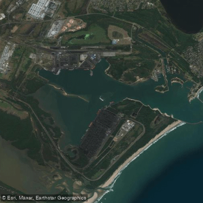
Key fishing locations are defined by habitat type and access. The main Richards Bay beachfront offers surf and shoreline access. The harbour walls and breakwaters provide structure that holds fish. The extensive intertidal mudflats and sandbanks are prime areas to fish the rising tide. The deep shipping channels within the harbour hold larger predatory fish. The network of mangrove creeks and backwaters offers sheltered fishing for species like grunter and snapper. Nearshore reefs and drop-offs outside the harbour mouth are accessed by boat.
Know where you can legally fish on uMhlathuze
See public and private land boundaries along the water, turn on private parcels with owner details to know where permission is required, and find land-trust parcels that offer permitted fishing access.
Kwazulu Natal licenses and regulations
No licenses or regulations available for Kwazulu Natal.
Take uMhlathuze with you
The onWater Fish app keeps this water's access points, species and conditions in your pocket, with the tools you use once you're there.
Use the map without signal
Download the map around uMhlathuze to use it offline when coverage drops.
Log your catches here
Keep a private fishing journal for uMhlathuze to find where and when fish are biting for you.
Get the onWater Fish app
Free on iOS and Android
Tides, wind & water conditions (10 day forecast)
On open water, wind and tide matter as much as the weather. See the best times to fish uMhlathuze and check the marine forecast before you launch.
Loading tide predictions…
Fishing near uMhlathuze
Richards Bay
Mzingazi
Lake Msingazi
Mhlatuze
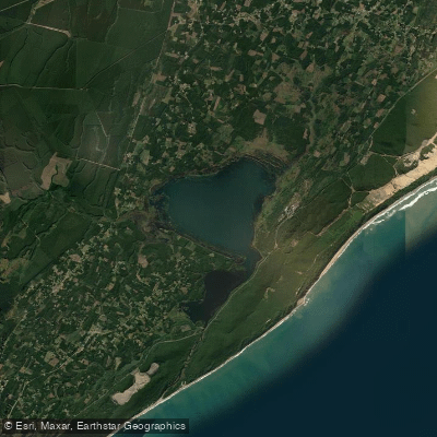
iNhlabane
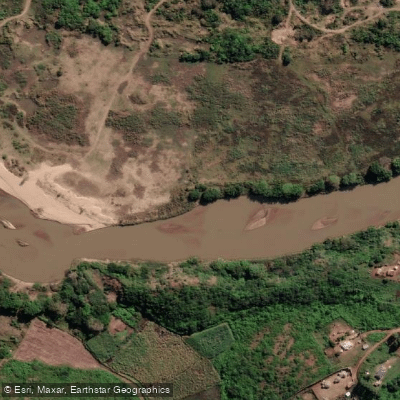
Mfolozi
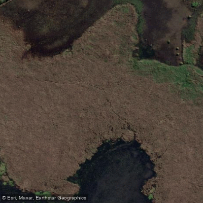
Msunduzi
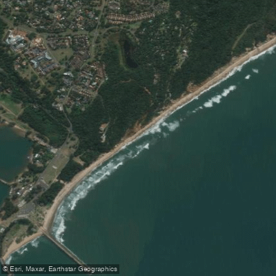
Alkantstrand
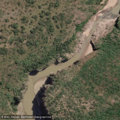
White Mfolozi
Explore Kwazulu Natal waters
Top fishing waters
No waters available right now.
Popular Cities
Loading popular cities...
Explore near uMhlathuze
Fish species
Nearby waters
More in Kwazulu Natal

Smarter Fishing Starts in the App.
onWater Fish gives you everything you need to plan smarter, fish better, and own every trip from first cast to last.