iNhlabane
- Saltwater
- Estuary
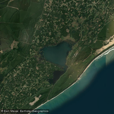
iNhlabane
- Saltwater
- Estuary
- Sq. miles
- 7.3
- Boat Ramps
- 0
- Access Points
- 0
- Species
- 11
The iNhlabane Estuary is a coastal estuary system located within the King Cetshwayo District Municipality in KwaZulu-Natal, South Africa. It is one of the significant estuarine environments along this stretch of coastline, which benefits from approximately 45 kilometers of shoreline. The estuary is formed by the iNhlabane River as it meets the Indian Ocean. As a tidal estuary, its character, water levels, and fishability are fundamentally governed by the rhythms of the ocean tides, which push saltwater inland and create a dynamic, brackish environment rich in marine life.
Species & education
Learn what type of fish are at iNhlabane and what's needed to catch them.

Find which waters have the species you want to catch

Black Musselcracker
Cymatoceps nasutus

Cape Stumpnose
Rhabdosargus holubi

Englishman
Chrysoblephus anglicus

Flathead Mullet
Mugil cephalus

Geelbek
Atractoscion aequidens

King Mackerel
Scomberomorus commerson

Queen Mackerel
Scomberomorus plurilineatus

Santer
Cheimerius nufar

Scotsman
Polysteganus praeorbitalis

Slinger
Chrysoblephus puniceus

Spotted Grunter
Pomadasys commersonnii
Fishing spots, boat ramps & amenities
Learn how to get on iNhlabane. Uncover great fishing access points, boat ramps, and all the facilities you need for an unforgettable day on the water. Some locations shown may border or include private property. Always check property boundaries and applicable regulations before visiting. onWater's Public & Private Land layer can help you plan your access with confidence.
Productive fishing spots are defined by estuarine structure. The main channel, especially where it bends or constricts, creates current flows that attract predators. The edges of sand and mud flats, particularly where they drop off into deeper water, are prime ambush points. The confluence of any smaller tributaries with the main estuary channel can be productive. Areas with submerged structure, fallen trees, or oyster beds provide cover for bait and hunting grounds for gamefish. The area near the estuary mouth can be excellent when accessible and safe, but it is subject to strong currents and wave action.
Know where you can legally fish on iNhlabane
See public and private land boundaries along the water, turn on private parcels with owner details to know where permission is required, and find land-trust parcels that offer permitted fishing access.
Kwazulu Natal licenses and regulations
No licenses or regulations available for Kwazulu Natal.
Take iNhlabane with you
The onWater Fish app keeps this water's access points, species and conditions in your pocket, with the tools you use once you're there.
Use the map without signal
Download the map around iNhlabane to use it offline when coverage drops.
Log your catches here
Keep a private fishing journal for iNhlabane to find where and when fish are biting for you.
Get the onWater Fish app
Free on iOS and Android
Tides, wind & water conditions (10 day forecast)
On open water, wind and tide matter as much as the weather. See the best times to fish iNhlabane and check the marine forecast before you launch.
Loading tide predictions…
Fishing near iNhlabane
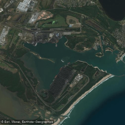
Richards Bay
Mzingazi
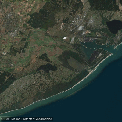
uMhlathuze
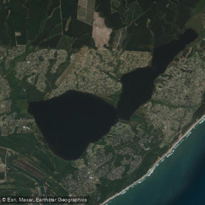
Lake Msingazi
Mhlatuze
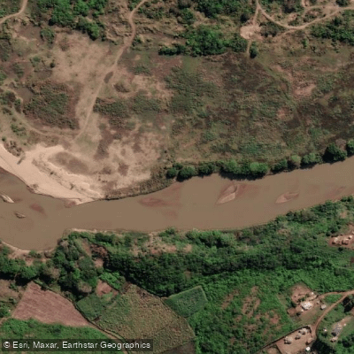
Mfolozi
Msunduzi
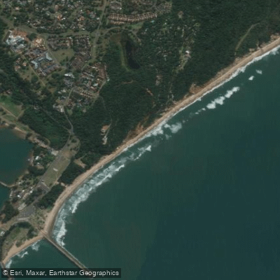
Alkantstrand
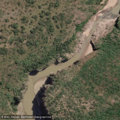
White Mfolozi
Explore Kwazulu Natal waters
Top fishing waters
No waters available right now.
Popular Cities
Loading popular cities...
Explore near iNhlabane

Smarter Fishing Starts in the App.
onWater Fish gives you everything you need to plan smarter, fish better, and own every trip from first cast to last.